Antique Maps of South America
Showing 1–30 of 60 products
Sort by:
[ti_wishlists_addtowishlist]
[ti_wishlists_addtowishlist]
[ti_wishlists_addtowishlist]
[ti_wishlists_addtowishlist]
[ti_wishlists_addtowishlist]
[ti_wishlists_addtowishlist]

[ti_wishlists_addtowishlist]
[ti_wishlists_addtowishlist]
[ti_wishlists_addtowishlist]
[ti_wishlists_addtowishlist]
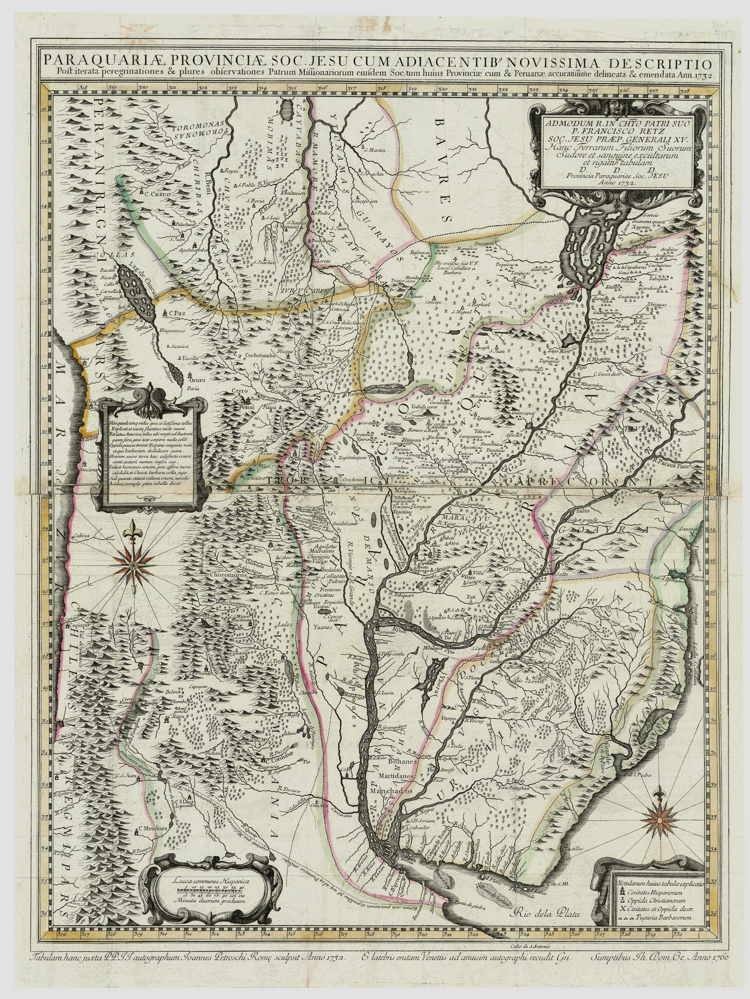
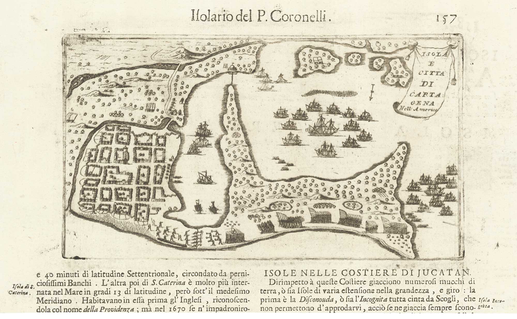
An important map of the 'War of the Seven Reductions'
PETROSCHI, Giovanni. Date: 1760 Stock #: 24764 £1,800.00
[ti_wishlists_addtowishlist]

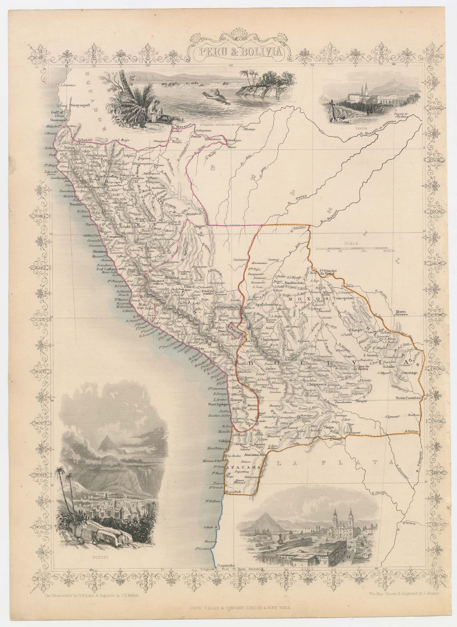
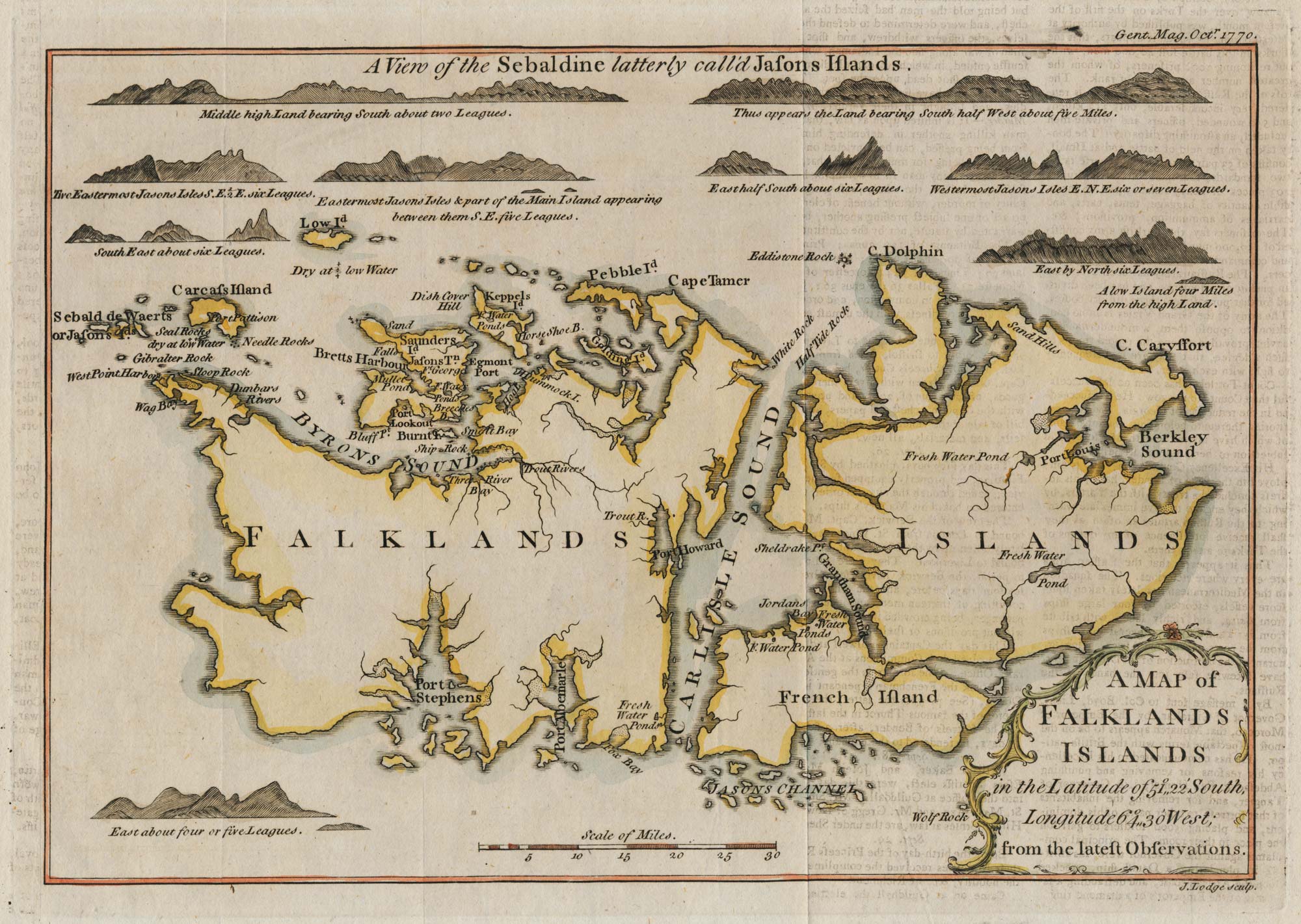
Three detailed charts of the Galapagos Islands
DUPERREY, Louis-Isidore. Date: 1731 Stock #: 24797 £380.00
[ti_wishlists_addtowishlist]
[ti_wishlists_addtowishlist]
[ti_wishlists_addtowishlist]

[ti_wishlists_addtowishlist]
[ti_wishlists_addtowishlist]

[ti_wishlists_addtowishlist]
[ti_wishlists_addtowishlist]
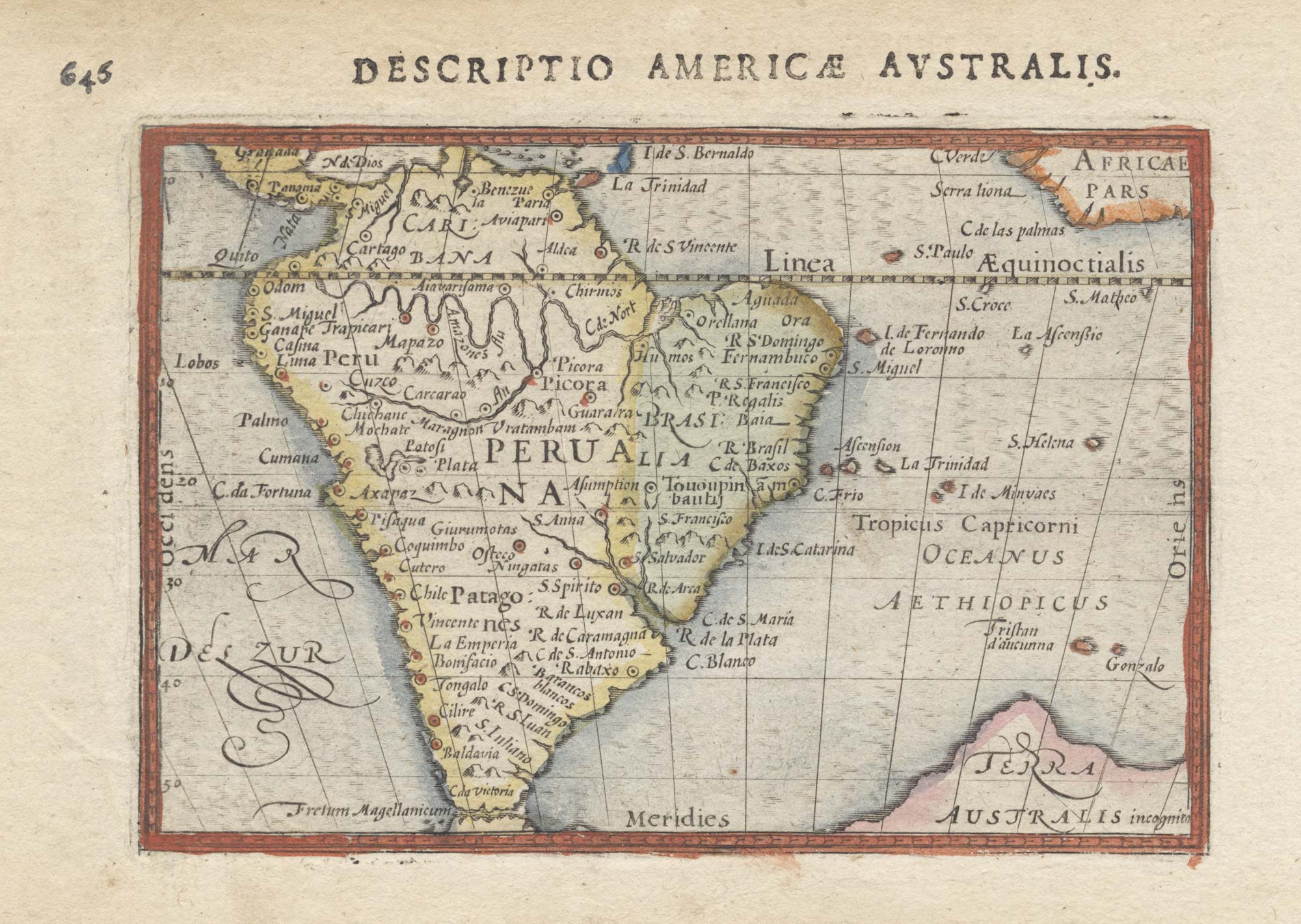
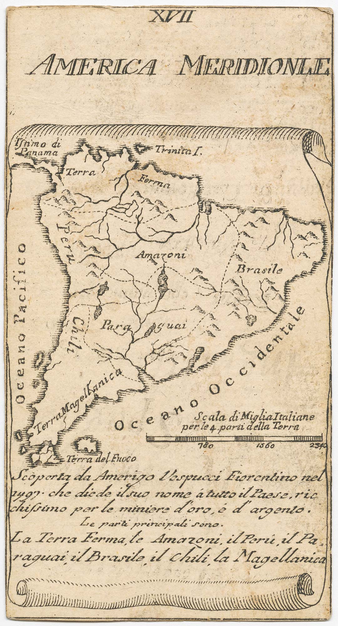
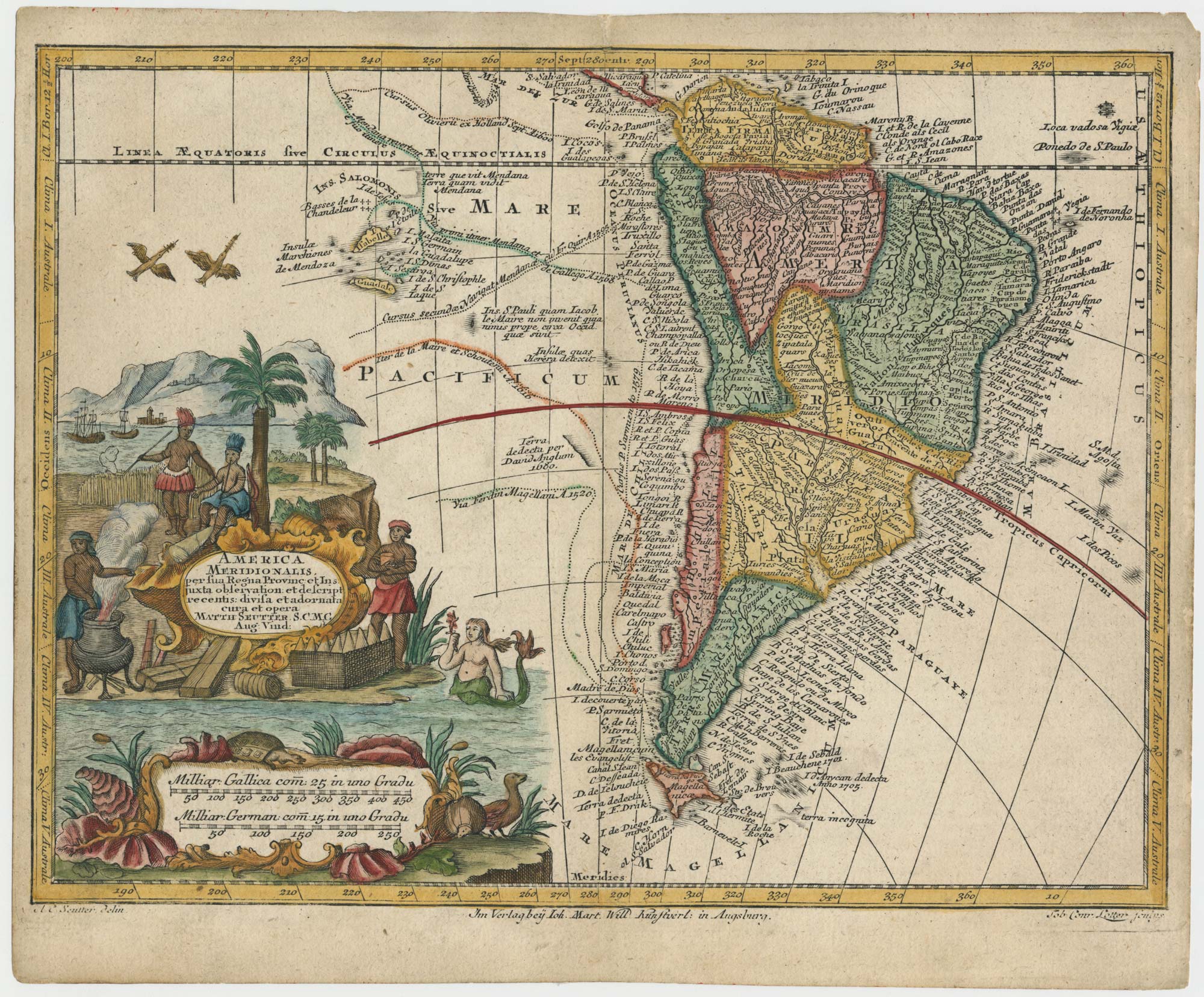
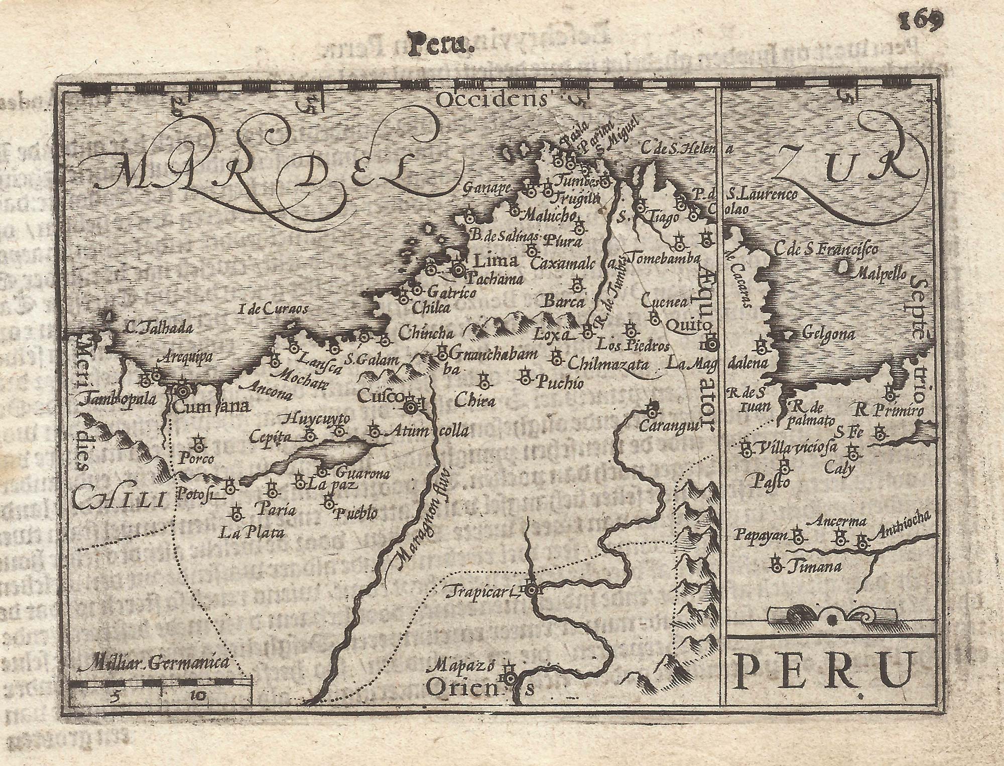
A 16th century miniature map of South America in original colour.
LANGENES, Barent. Date: 1603 Stock #: 22563 £450.00
[ti_wishlists_addtowishlist]
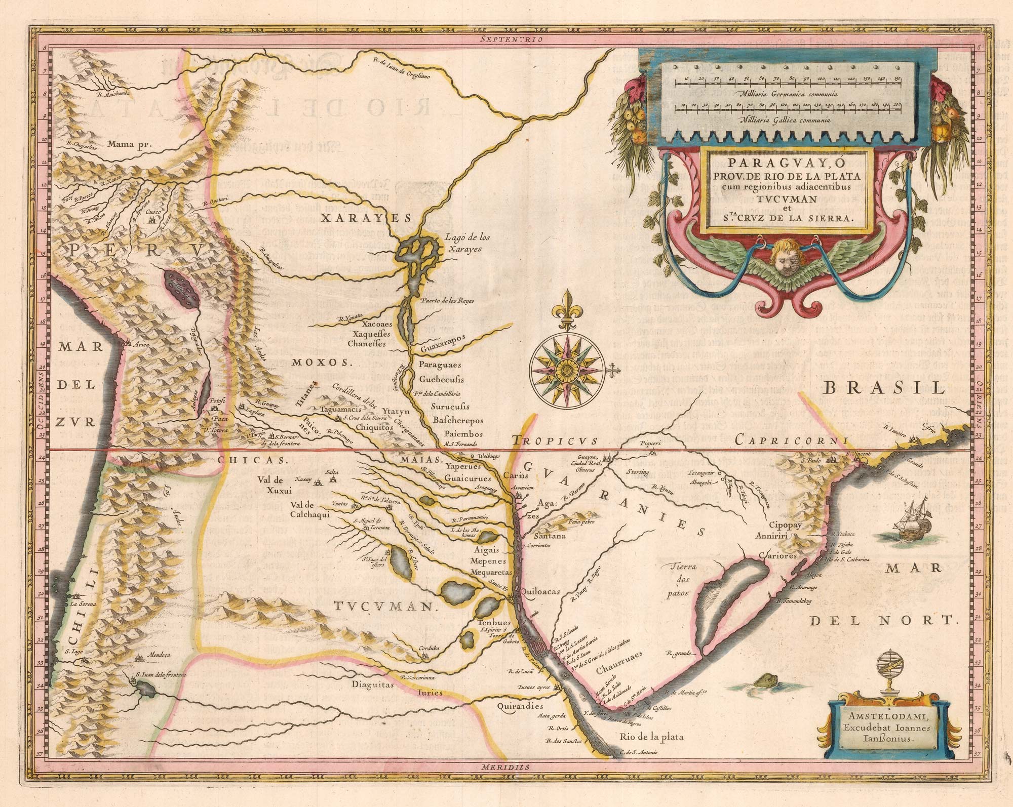
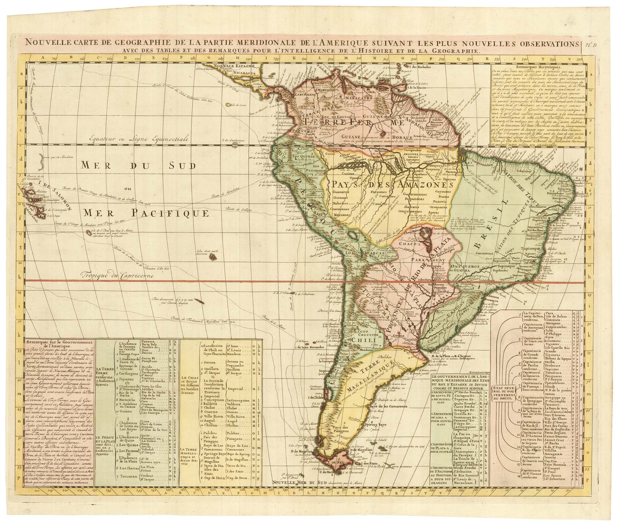
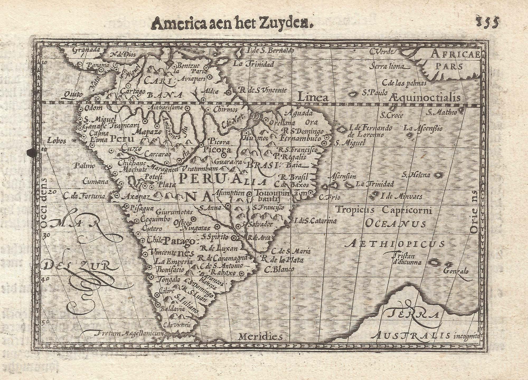
Classic early 17th century Dutch map of South America in fine colour
HONDIUS, Jodocus. Date: 1633 Stock #: 22863 £1,400.00
[ti_wishlists_addtowishlist]
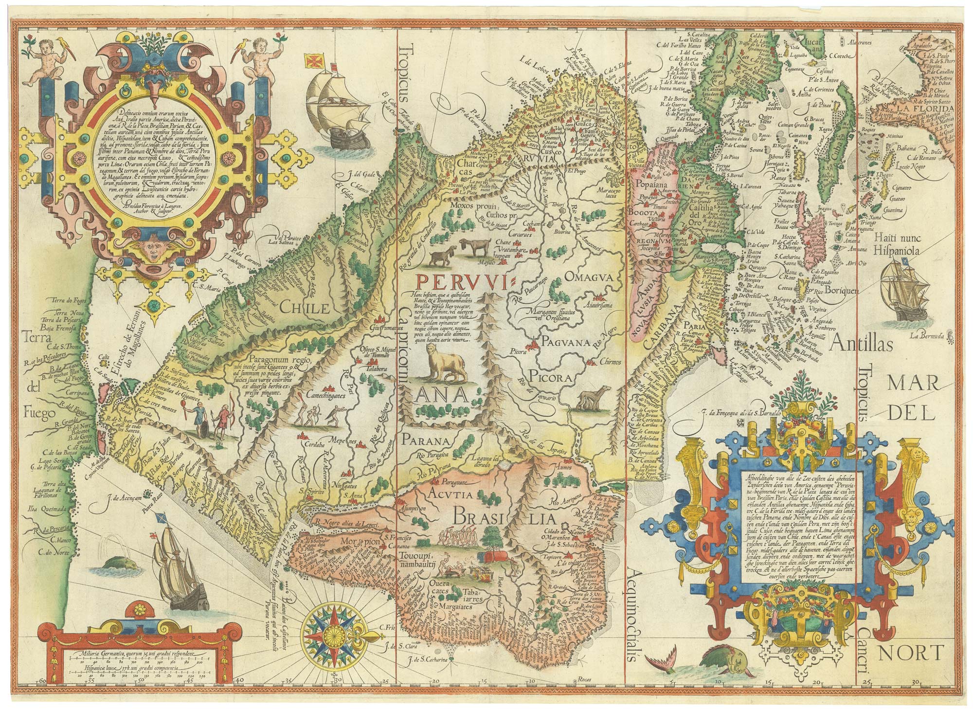
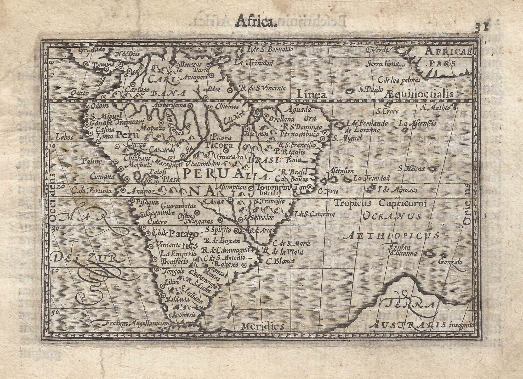
A classic 16th century map of South America
LINSCHOTEN, Jan Huygen van. Date: 1596 Stock #: 22752 £8,000.00
[ti_wishlists_addtowishlist]
[ti_wishlists_addtowishlist]
[ti_wishlists_addtowishlist]
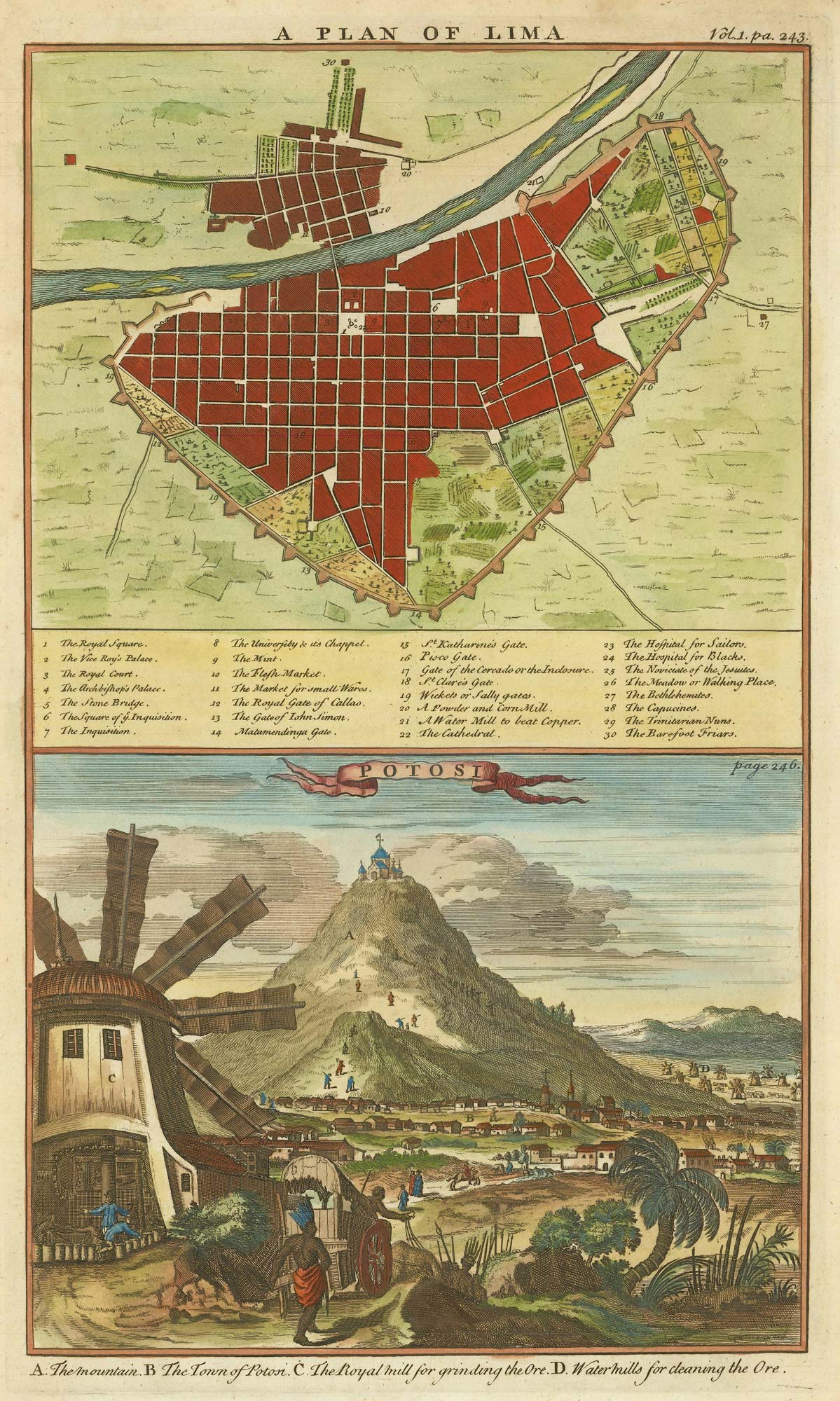
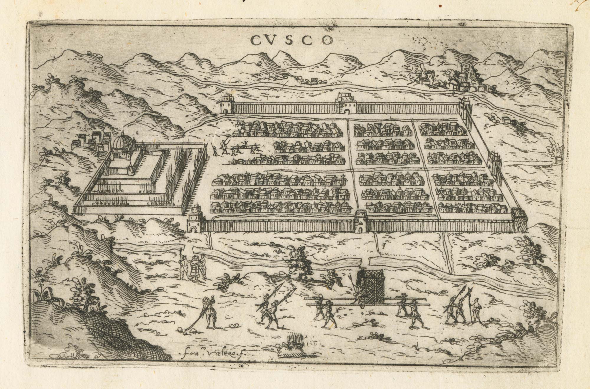
A plan of Lima and a view of the silver mines of Potosi
HARRIS, John. Date: 1746 Stock #: 21869 £150.00
[ti_wishlists_addtowishlist]

[ti_wishlists_addtowishlist]
[ti_wishlists_addtowishlist]
[ti_wishlists_addtowishlist]
[ti_wishlists_addtowishlist]
[ti_wishlists_addtowishlist]
[ti_wishlists_addtowishlist]