Antique Maps of the Far East
Showing 1–20 of 20 products
Sort by:
[ti_wishlists_addtowishlist]
The first printed map recording Tasman's second visit to Australia, 1644
DONCKER, Hendrik. Date: 1659 Stock #: 24893 £15,000.00
[ti_wishlists_addtowishlist]

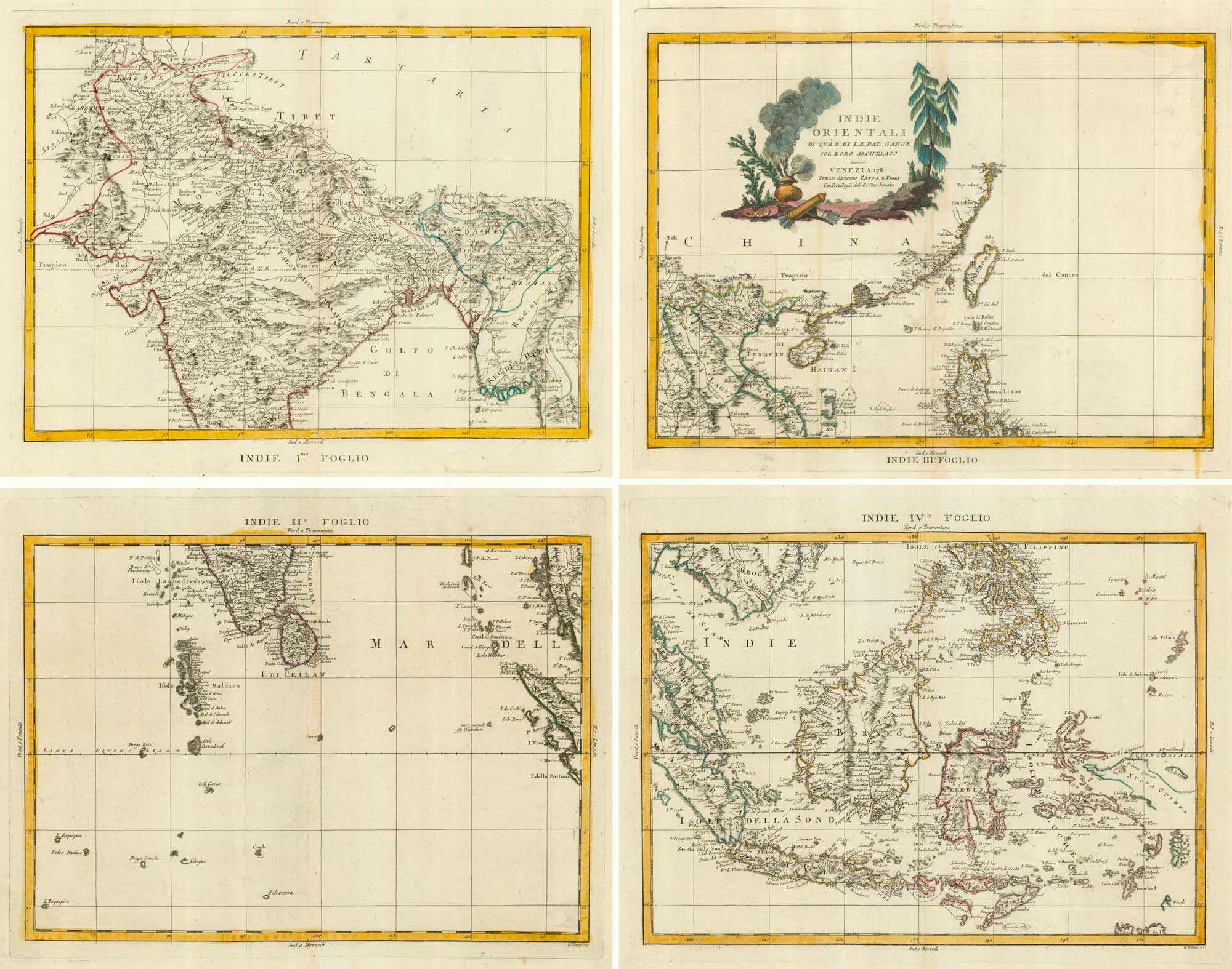
The Far East, with an elaborate title cartouche
SEUTTER, Matthaus. Date: 1741 Stock #: 18156 £1,400.00
[ti_wishlists_addtowishlist]
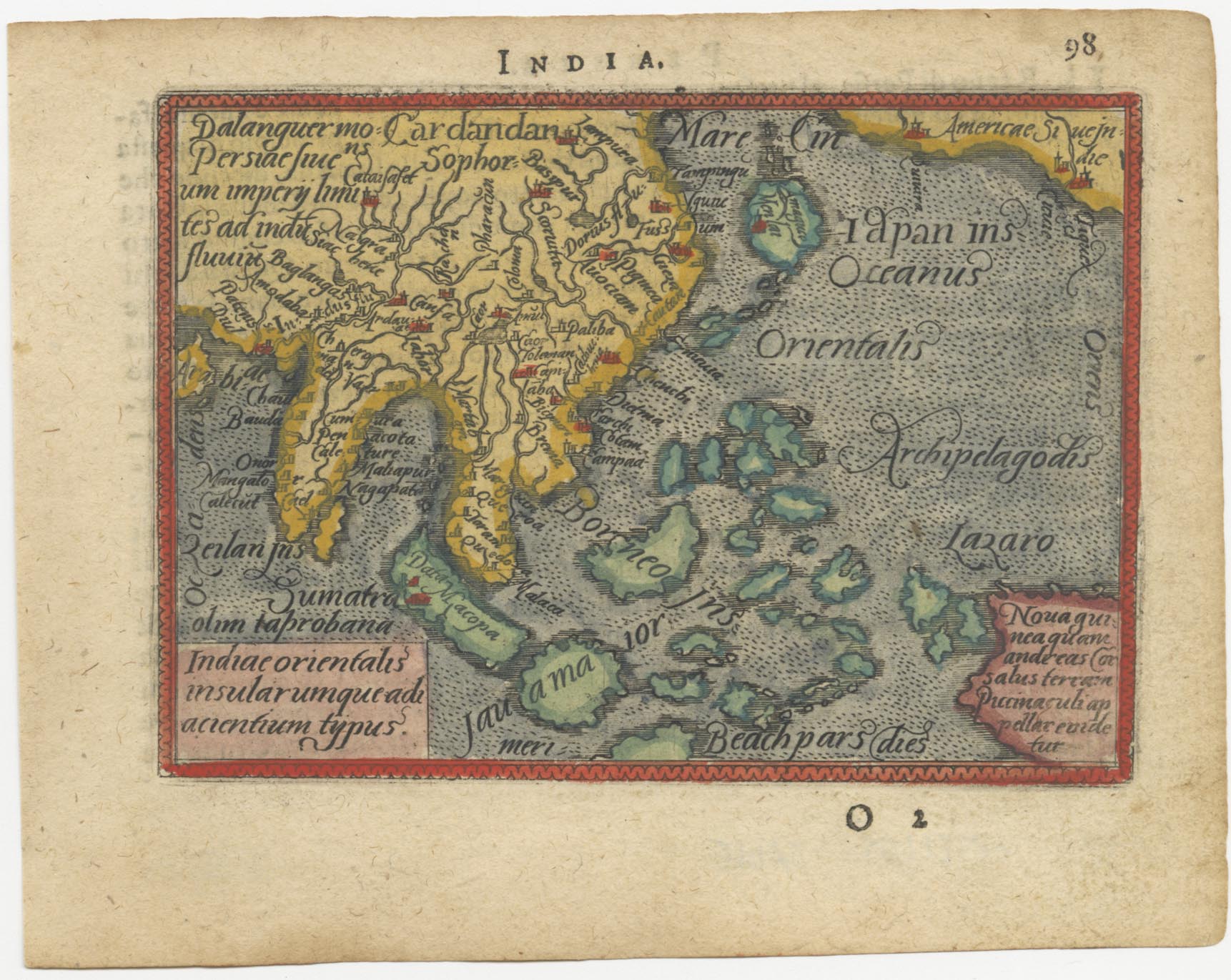
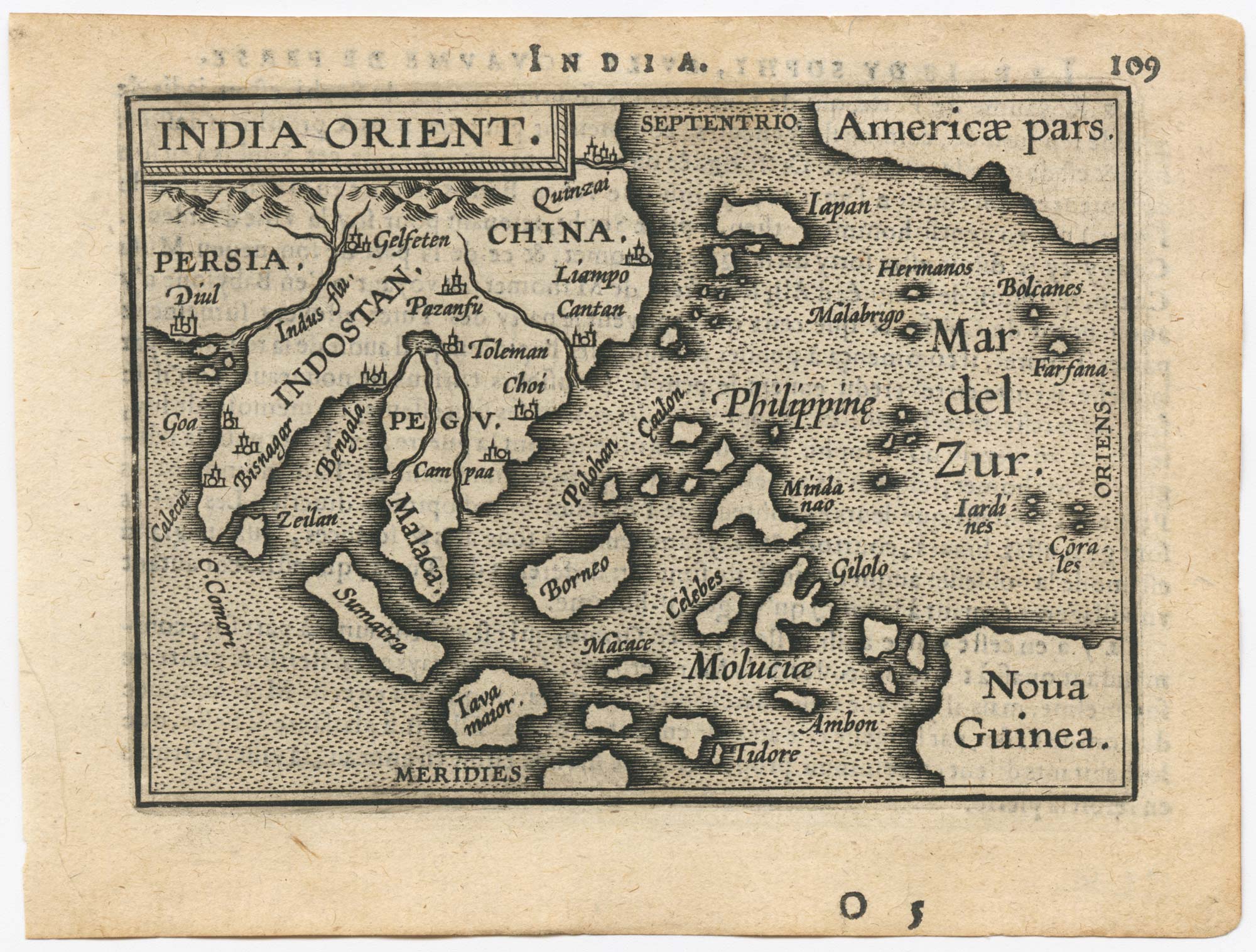
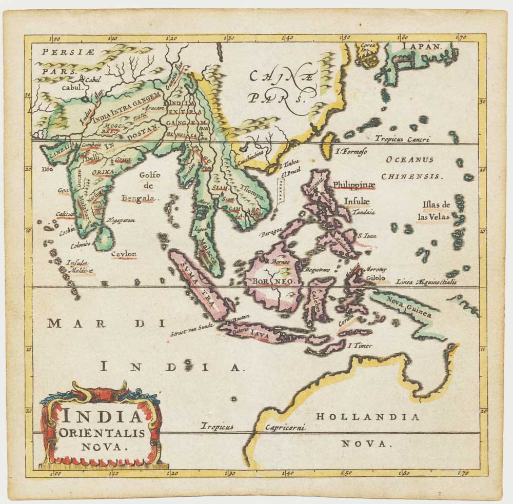
A 16th century miniature map of South East Asia
ORTELIUS, Abraham. Date: 1593 Stock #: 24460 £350.00
[ti_wishlists_addtowishlist]

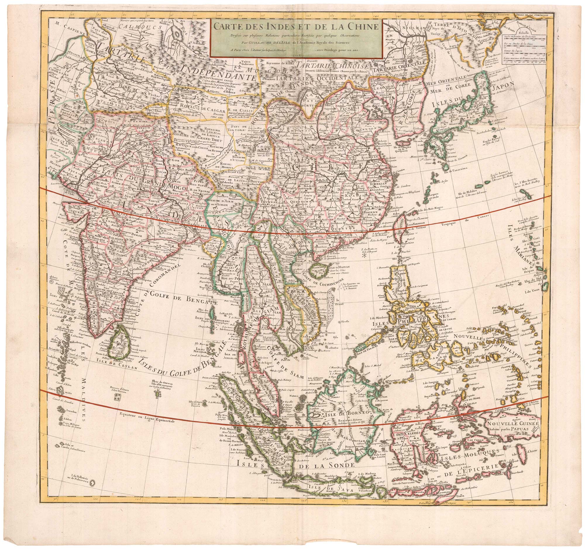
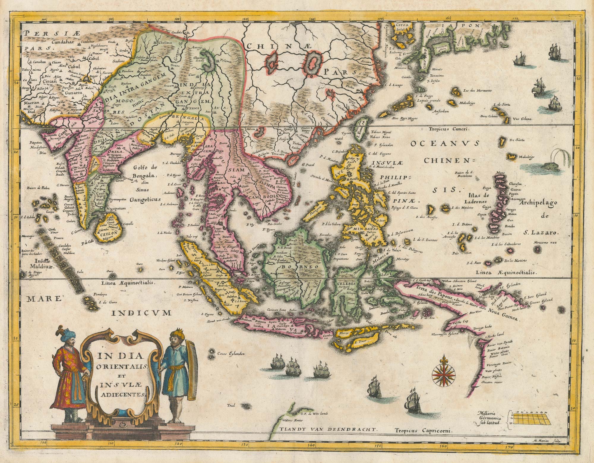
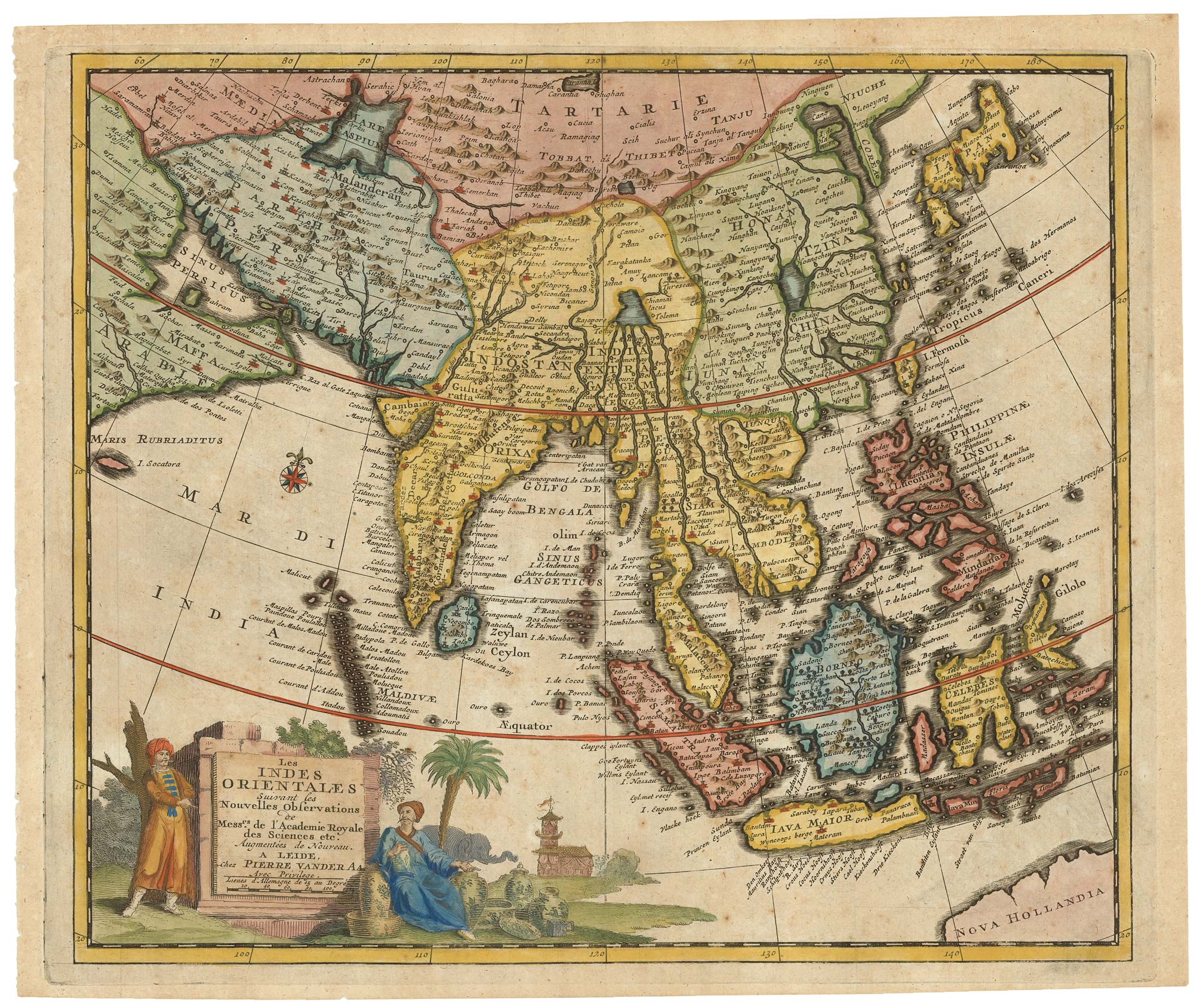
The East Indies with early evidence of the Dutch discovery of Australia
JANSSON, Jan. Date: 1807 Stock #: 25082 £1,700.00
[ti_wishlists_addtowishlist]
[ti_wishlists_addtowishlist]
[ti_wishlists_addtowishlist]
The scarce second Galle plate for the Far East used in the 'Epitome'
ORTELIUS, Abraham. Date: 1598 Stock #: 23197 £450.00
[ti_wishlists_addtowishlist]
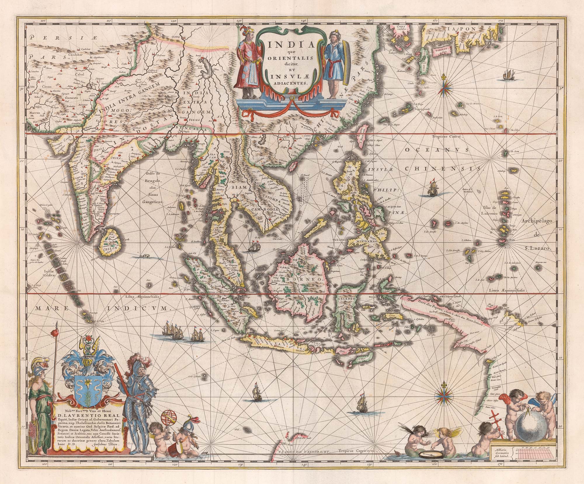
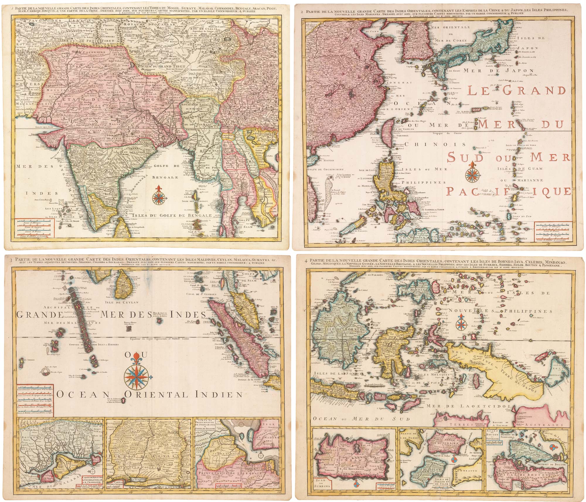
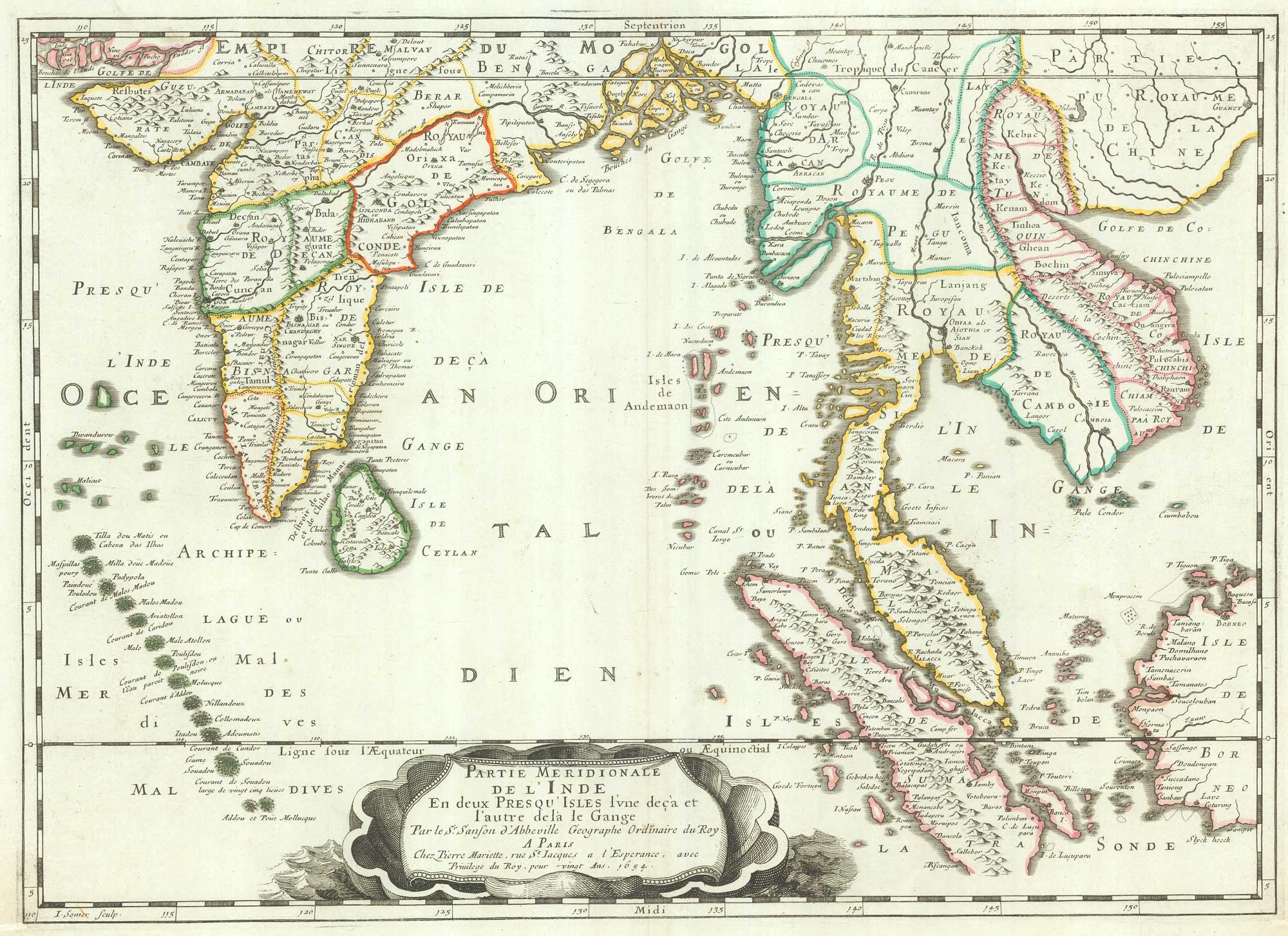
A 17th century map of the trading empire of the Dutch East India Company
BLAEU, Willem Janszoon. Date: 1650 Stock #: 22918 £1,650.00
[ti_wishlists_addtowishlist]
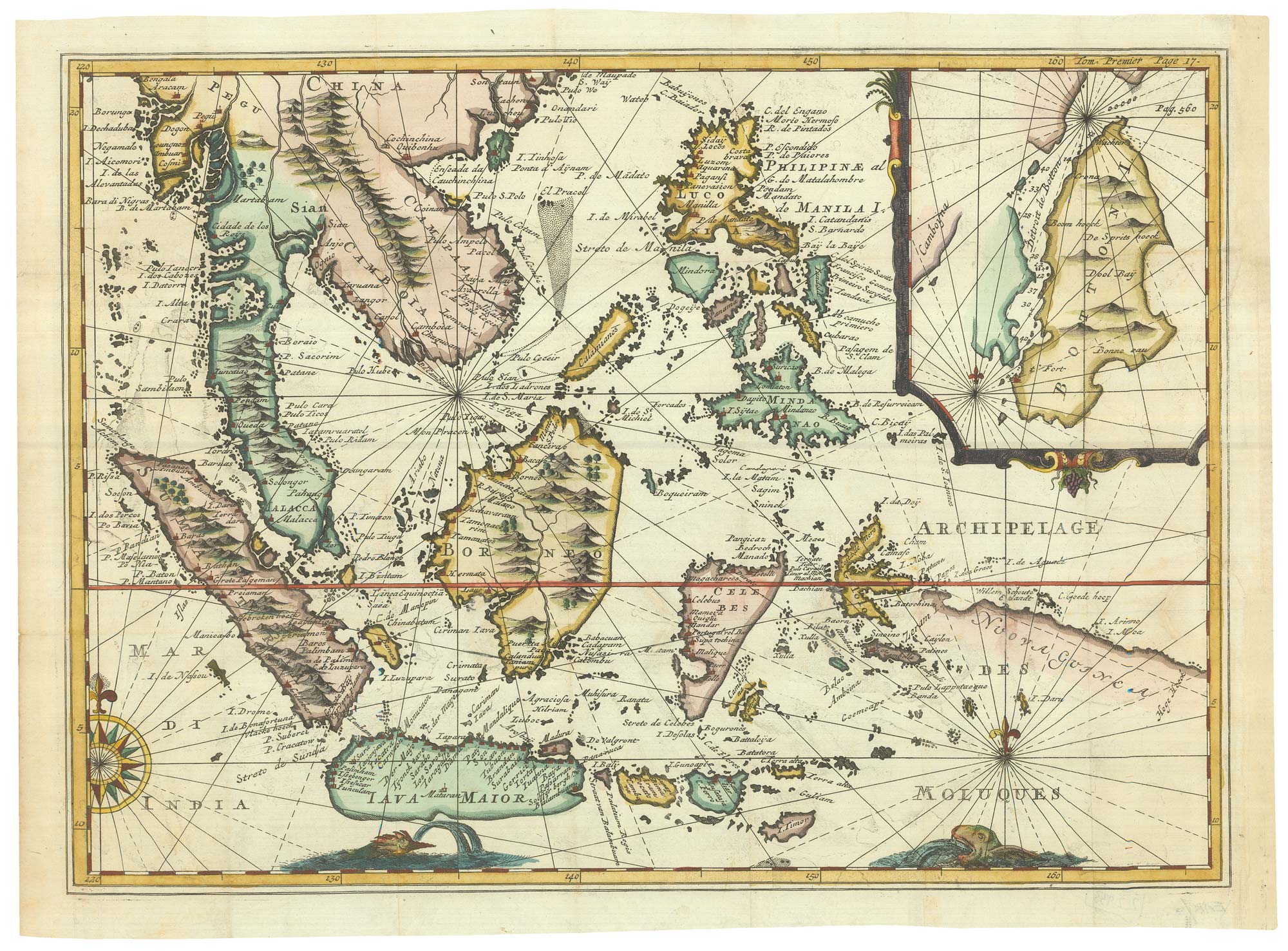
Rare map of the interests of the V.O.C. in the East Indies
RENNEVILLE, René Auguste Constantin. Date: 1725 Stock #: 22933 £1,650.00
[ti_wishlists_addtowishlist]
[ti_wishlists_addtowishlist]
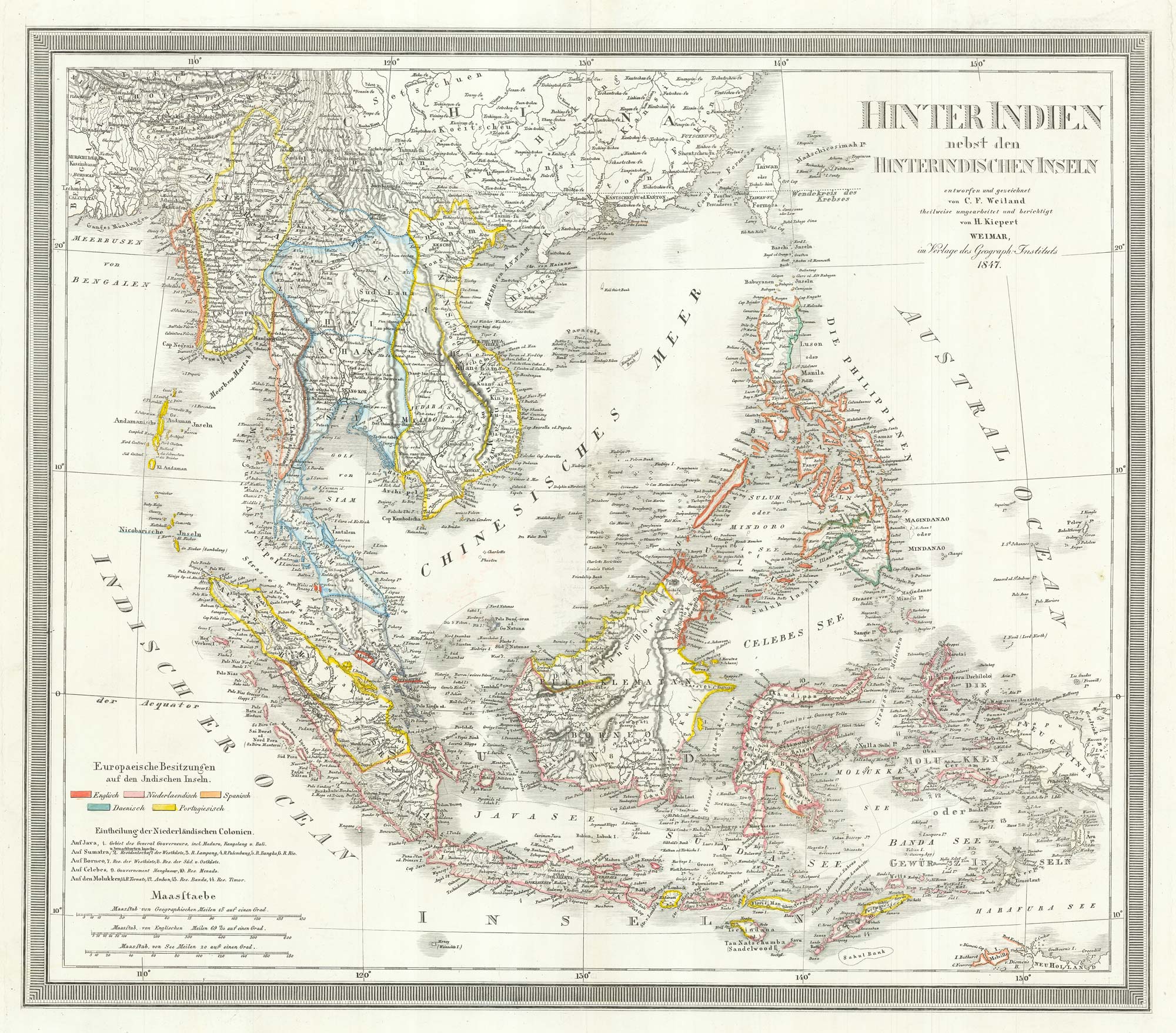
A mid-19th century map of the East Indies
WEILAND, Carl Ferdinand. Date: 1847 Stock #: 21922 £240.00
[ti_wishlists_addtowishlist]
[ti_wishlists_addtowishlist]
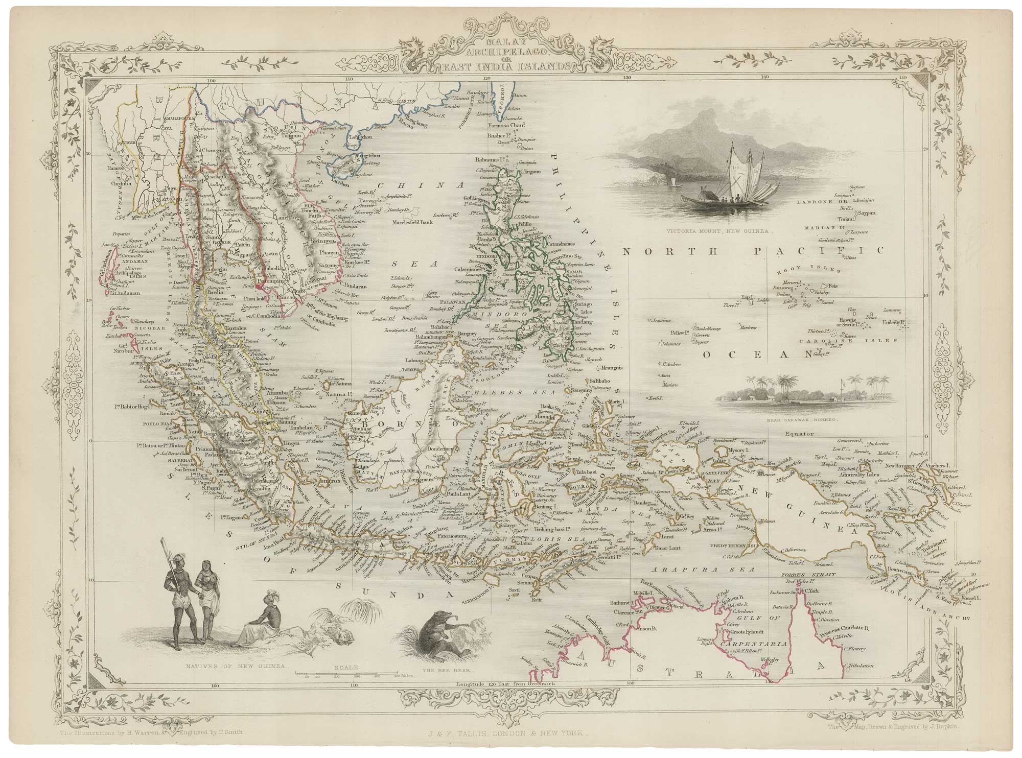
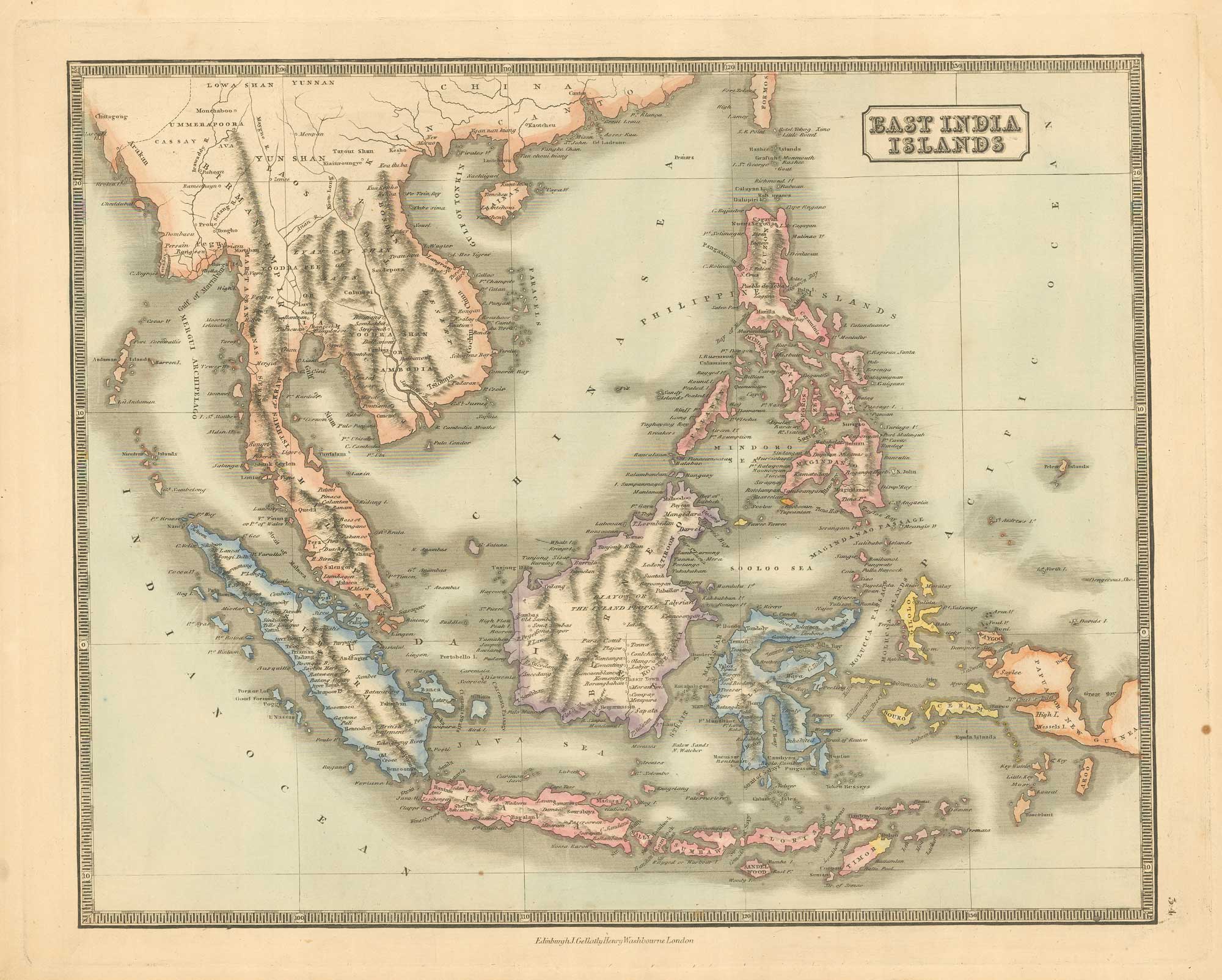
A mid-19th century map of the East Indies with decorative vignettes
TALLIS, John. Date: 1851 Stock #: 21611 £240.00
[ti_wishlists_addtowishlist]

[ti_wishlists_addtowishlist]
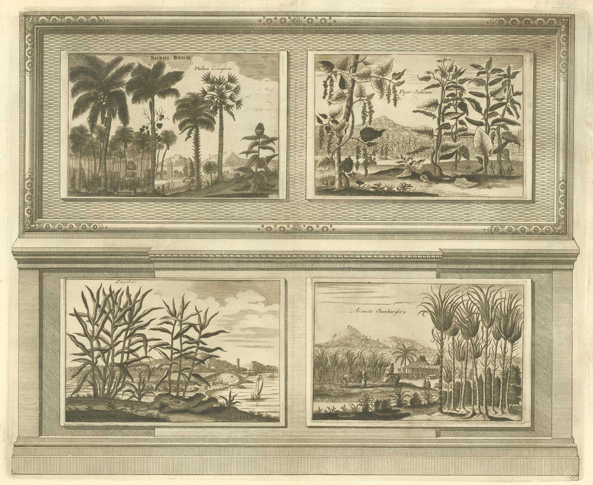
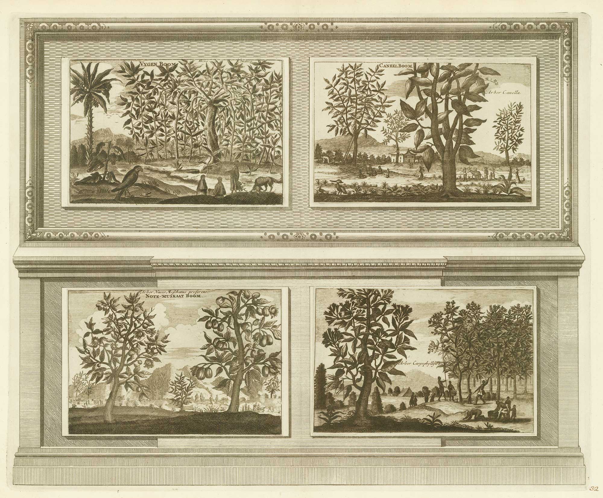
Illustrations of the flora and fauna of the East-Indies
AA, Pieter van der. Date: 1725 Stock #: 20089 £200.00
[ti_wishlists_addtowishlist]
Illustrations of the flora and fauna of the East-Indies
AA, Pieter van der. Date: 1725 Stock #: 20088 £200.00
[ti_wishlists_addtowishlist]
[ti_wishlists_addtowishlist]
[ti_wishlists_addtowishlist]
[ti_wishlists_addtowishlist]