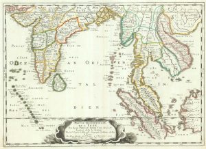
17th century map of the rivers of Asia
Tabula Geographica Hydrophylacium Asiae Majoris exhibens, quo Omnia Flumina sive proximè sive remotè per occultos maeandros Originem suam sortiuntur.
Amsterdam, c.1665. 345 x 410mm.
£975.00
1 in stock
x
Question About This Item?
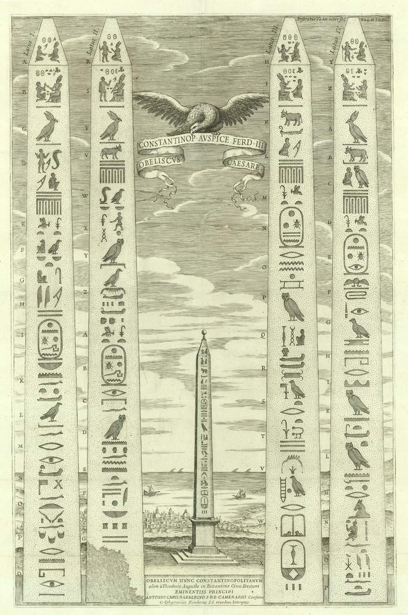
17th century map of the rivers of Asia & KIRCHER, Athanasius.Stock #: 20560Similar to Sell?
Description
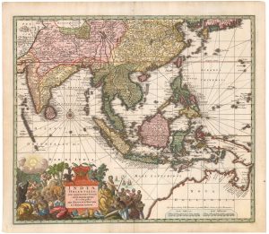
An unusual map of south Asia from Arabia to Japan, designed to show the major rivers of the continent. Kircher posits two discredited theories: that the Indus and Ganges share a source as a large subterranean lake in the Himalayas, illustrated with a vignette; and 'Chiamai lac' (Chiang Mai in northern Thailand) as the source of the other great rivers, including the Mekong, Irrawaddy and Chao Phraya.
Published in a Dutch-text edition of the 'Mundi Subterranei', first published 1665.
Condition:
A good example.Related products
-
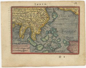
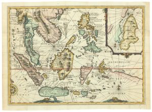
A 16th century miniature map of South East Asia
ORTELIUS, Abraham. Date: 1593Stock #: 24460 £350.00 -
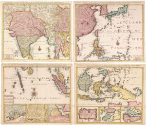
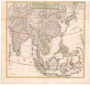
A striking four-sheet wall map of the Far East
OTTENS, Joachim. Date: 1792Stock #: 23571 £4,500.00 -
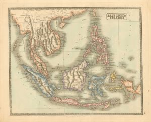
Mid 19th century map of the East India Islands
GELLATLY, John. Date: 1843Stock #: 19952 £175.00 -
Rare map of the interests of the V.O.C. in the East Indies
RENNEVILLE, René Auguste Constantin. Date: 1725Stock #: 22933 £1,650.00 -
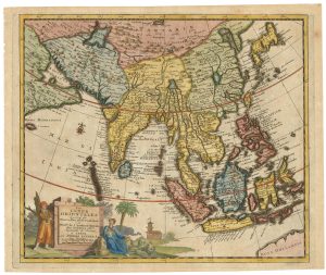
Early 18th century map of South East Asia
AA, Pieter van der. Date: 1719Stock #: 21650 £400.00 -
The East Indies with early evidence of the Dutch discovery of Australia
JANSSON, Jan. Date: 1807Stock #: 25082 £1,700.00 -
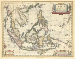
17th century map of the East Indies
SANSON, Nicolas. Date: 1658Stock #: 19813 £650.00 -
The Far East, with an elaborate title cartouche
SEUTTER, Matthaus. Date: 1741Stock #: 18156 £1,400.00 -
Early 18th century map of the East Indies
DELISLE, Guillaume. Date: 1705Stock #: 23907 £980.00
Items by the same author
[ti_wishlists_addtowishlist]
[ti_wishlists_addtowishlist]
[ti_wishlists_addtowishlist]