Antique Maps of California
Showing 1–6 of 6 products
Sort by:
[ti_wishlists_addtowishlist]
De Fer's large-format map of the island of California
FER, Nicolas de. Date: 1720 Stock #: 25088 £6,000.00
[ti_wishlists_addtowishlist]
[ti_wishlists_addtowishlist]
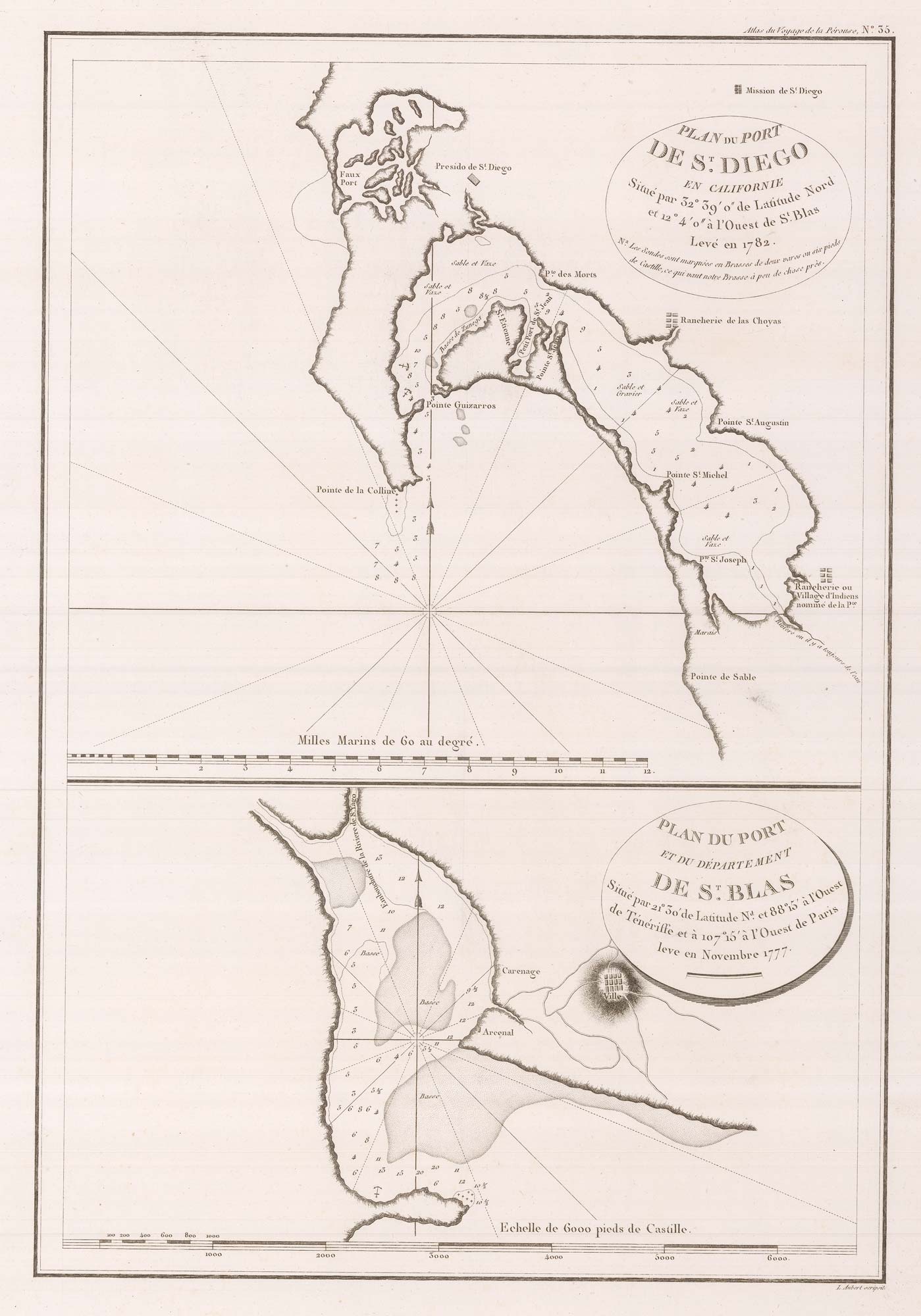
Early charts of San Diego and San Blas
LA PEROUSE, Jean-Francois de Galaup de. Date: 1797 Stock #: 22412 £340.00
[ti_wishlists_addtowishlist]
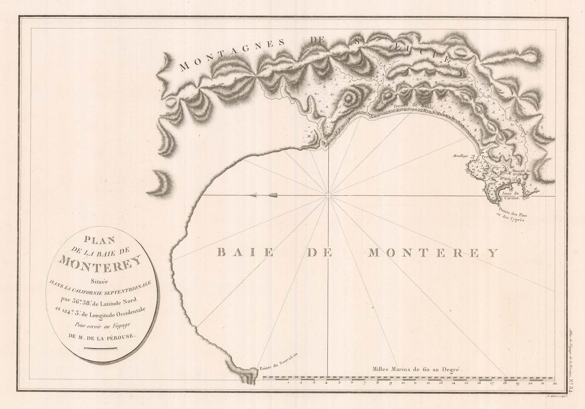
An early chart of Monterey Bay
LA PEROUSE, Jean-Francois de Galaup de. Date: 1797 Stock #: 22414 £400.00
[ti_wishlists_addtowishlist]
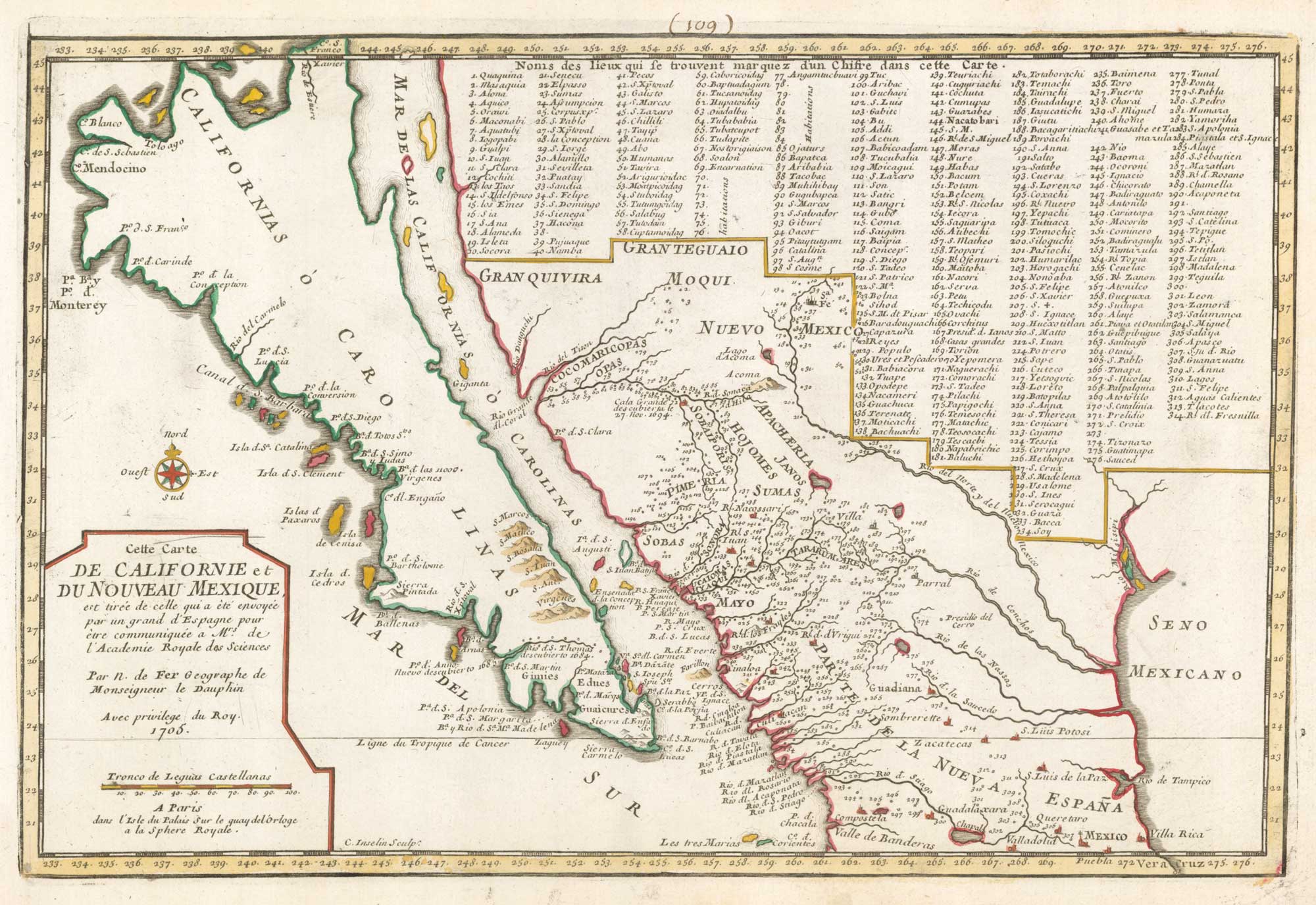
18th century French map of California as an Island
FER, Nicolas de. Date: 1700 Stock #: 18883 £920.00
[ti_wishlists_addtowishlist]
