Antique Maps of South Africa
Showing 1–22 of 22 products
Sort by:
[ti_wishlists_addtowishlist]
[ti_wishlists_addtowishlist]
[ti_wishlists_addtowishlist]
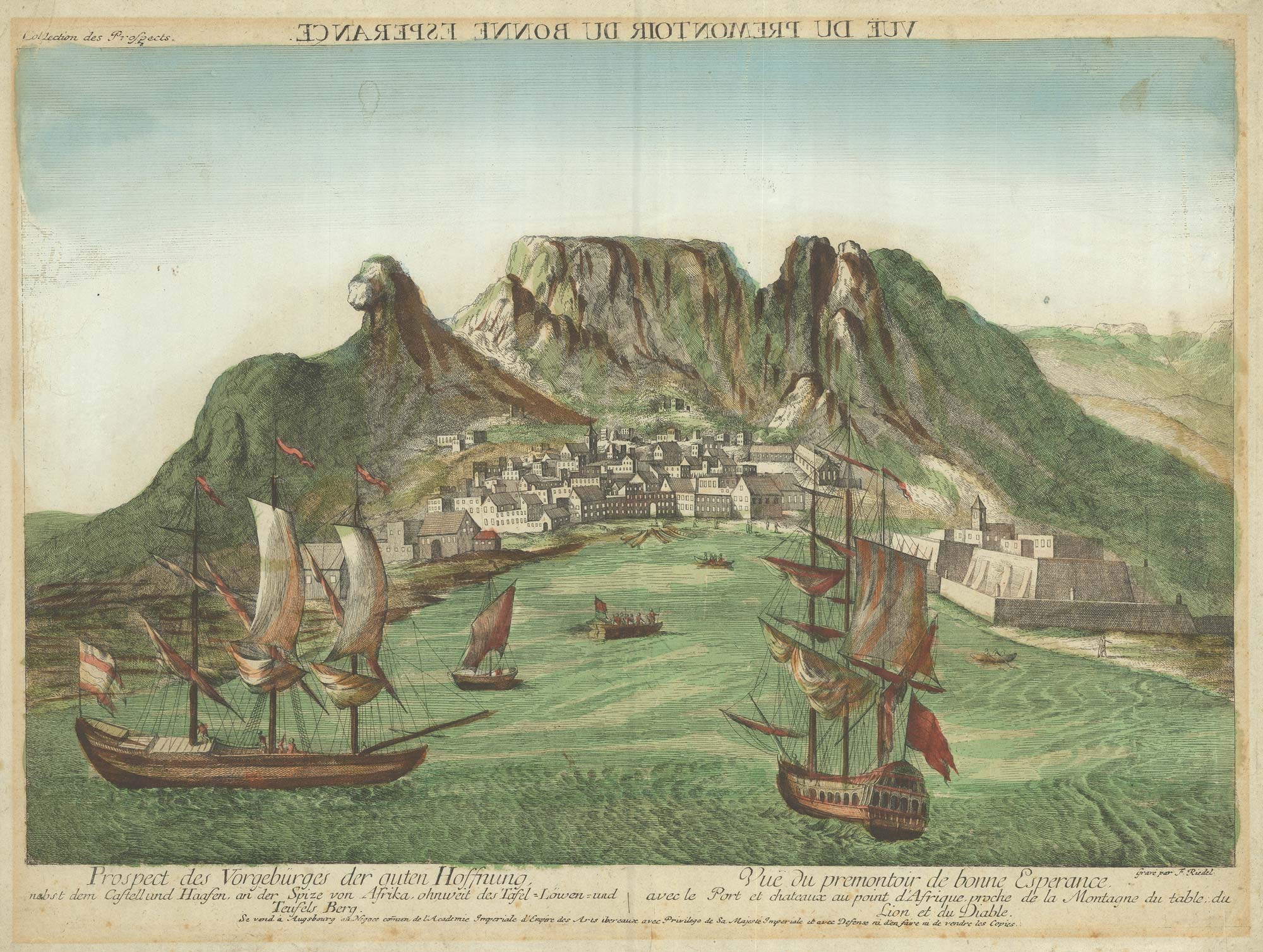
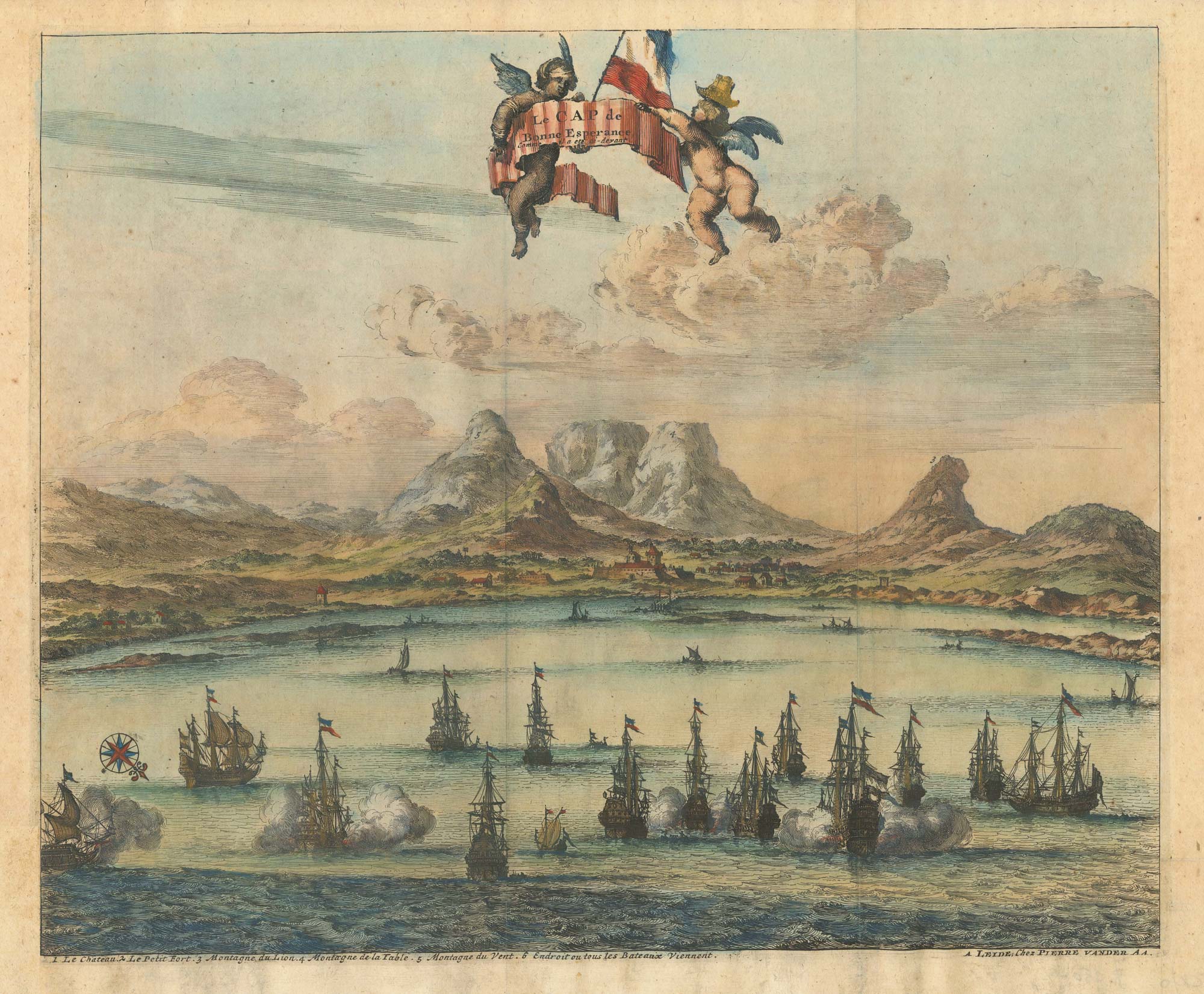
18th century vue d'optique of the Cape of Good Hope
RIEDEL, Gottlieb Friedrich. Date: 1780 Stock #: 23736 £600.00
[ti_wishlists_addtowishlist]
[ti_wishlists_addtowishlist]
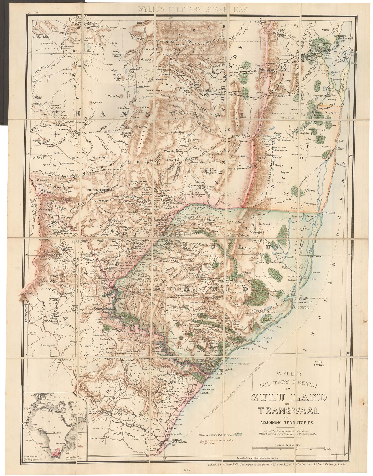
A contemporary military folding map for the Anglo-Zulu War of 1879.
WYLD, James. Date: 1879 Stock #: 22989 £650.00
[ti_wishlists_addtowishlist]
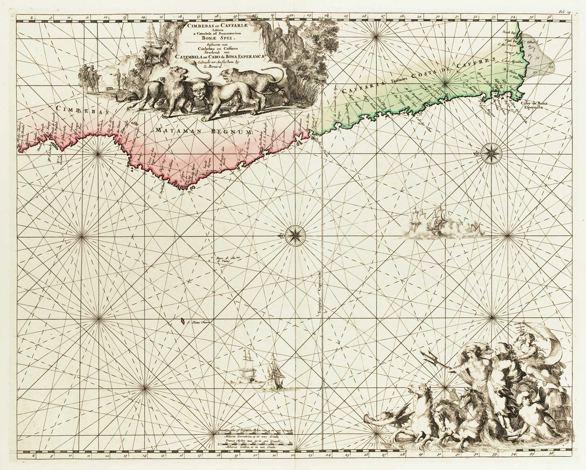
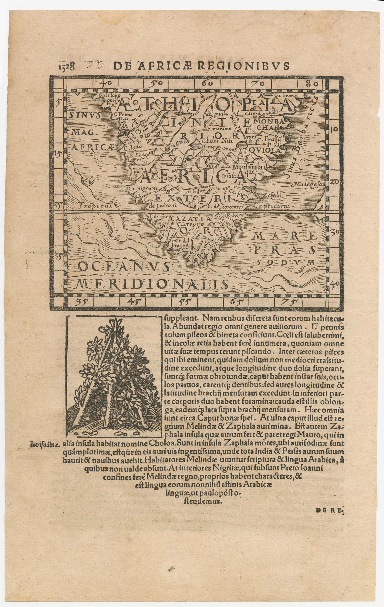
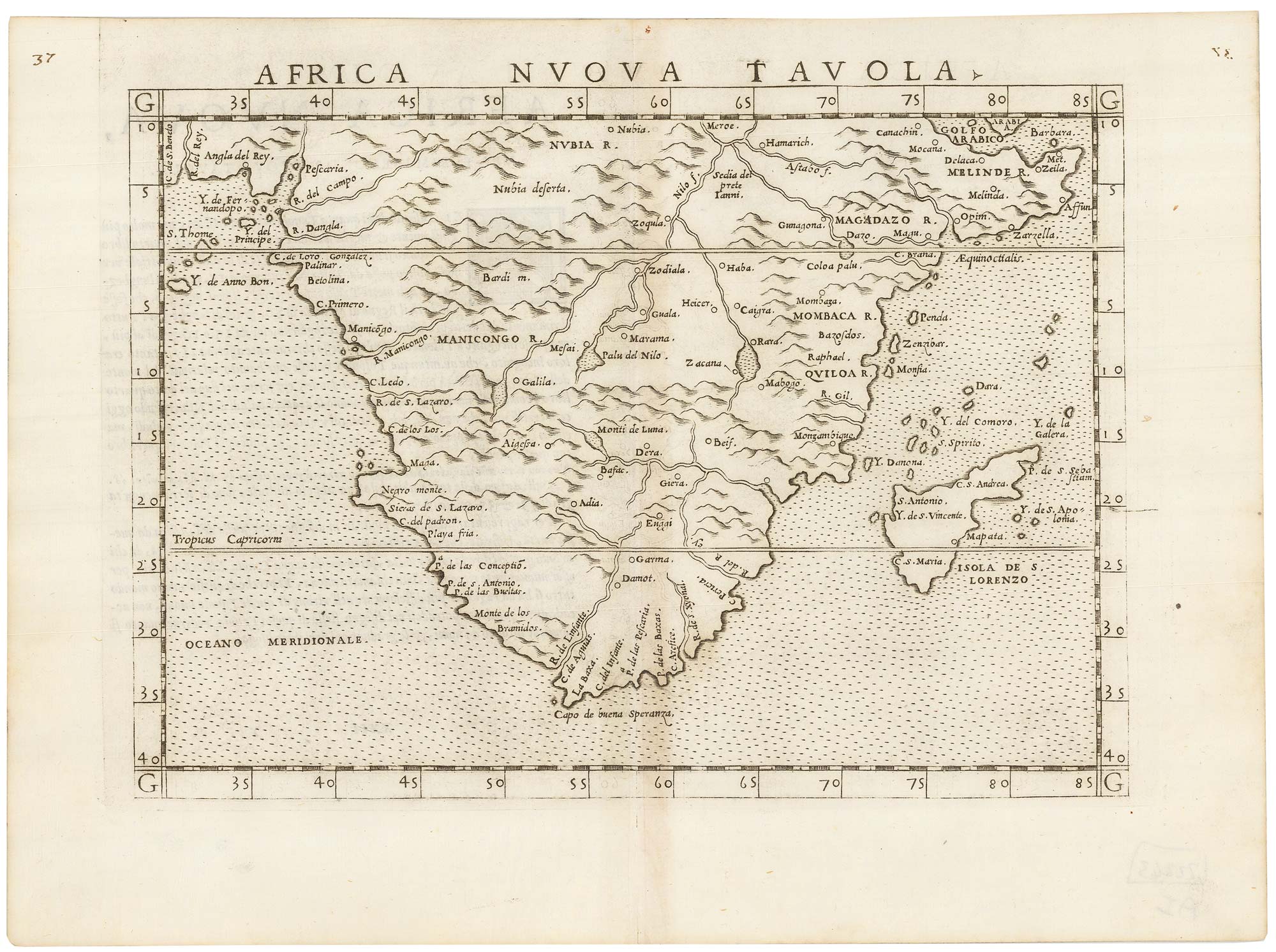
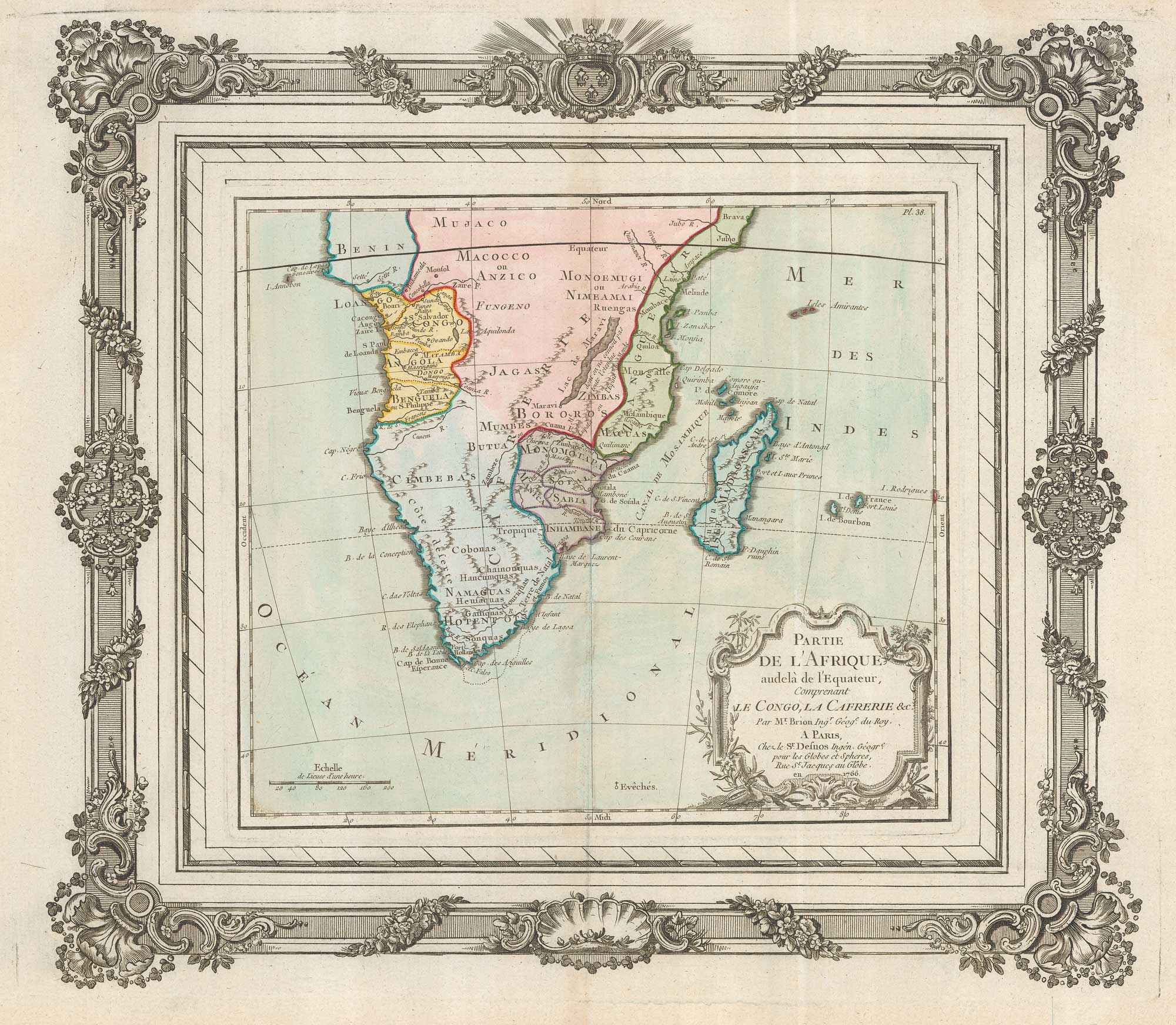
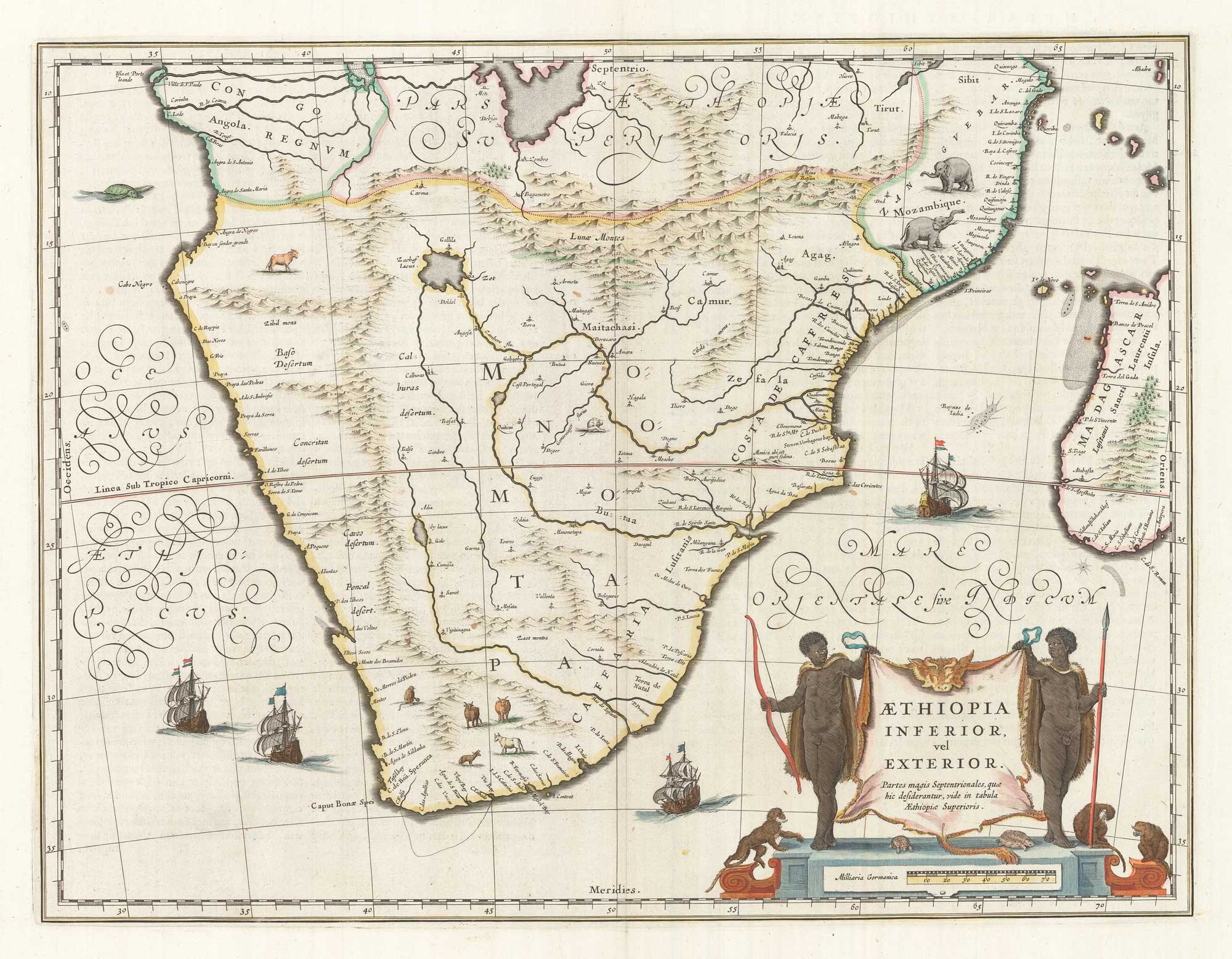
An 18th century map of Africa below the Equator
CHATELAIN, Henri Abraham. Date: 1720 Stock #: 22880 £380.00
[ti_wishlists_addtowishlist]
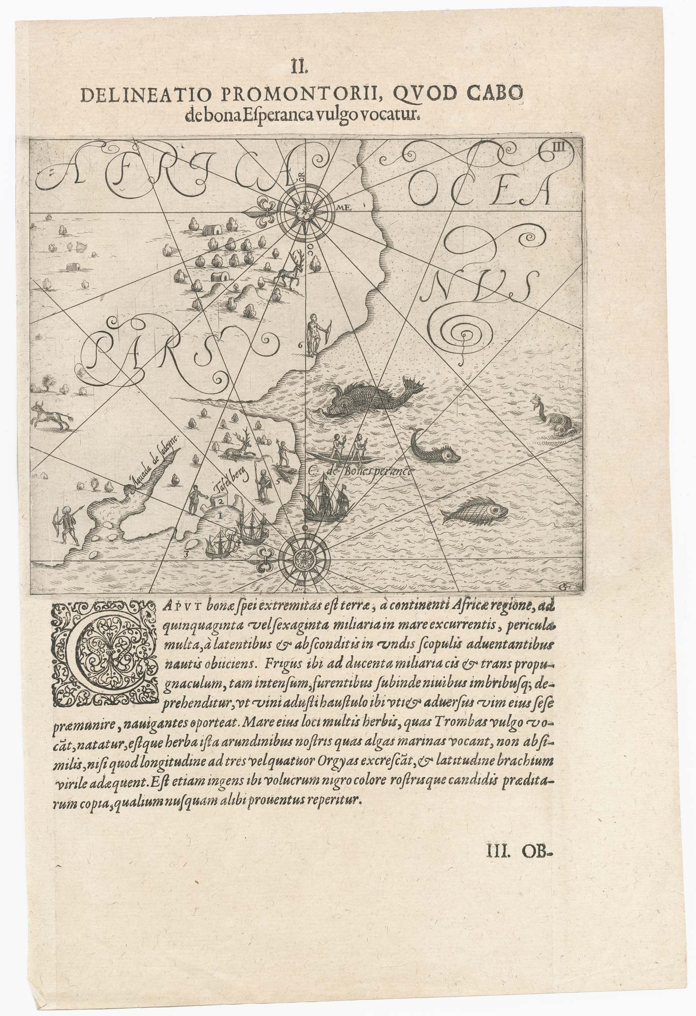
One of the earliest maps to depict the Cape of Good Hope
DE BRY, Theodore. Date: 1612 Stock #: 22976 £400.00
[ti_wishlists_addtowishlist]
[ti_wishlists_addtowishlist]
[ti_wishlists_addtowishlist]

[ti_wishlists_addtowishlist]
[ti_wishlists_addtowishlist]
[ti_wishlists_addtowishlist]

18th century Italian map of the Cape of Good Hope
ALBRIZZI, Giovanni Battista. Date: 1740 Stock #: 19893 £390.00
[ti_wishlists_addtowishlist]
[ti_wishlists_addtowishlist]
[ti_wishlists_addtowishlist]
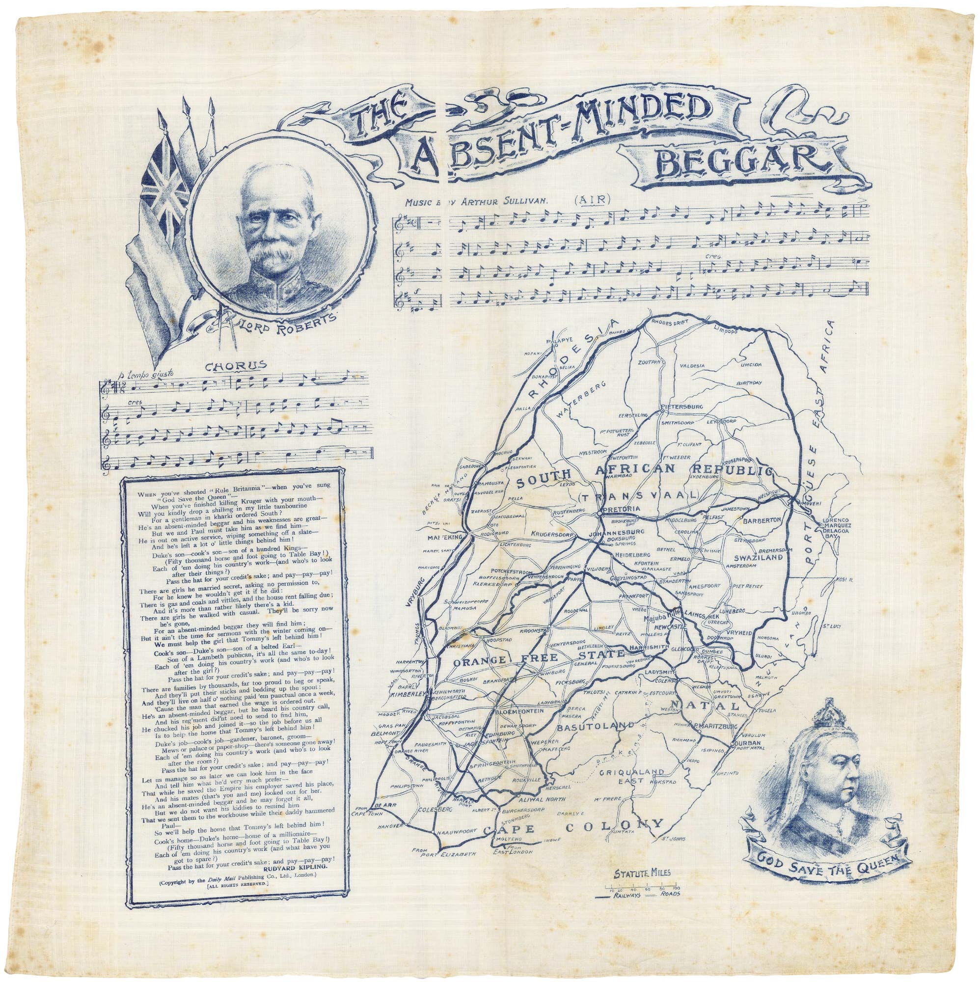
Handkerchief published to raise money for the families of Boer War Soldiers
DAILY MAIL PUBLISHING. Date: 1899 Stock #: 17963 £380.00
[ti_wishlists_addtowishlist]
[ti_wishlists_addtowishlist]
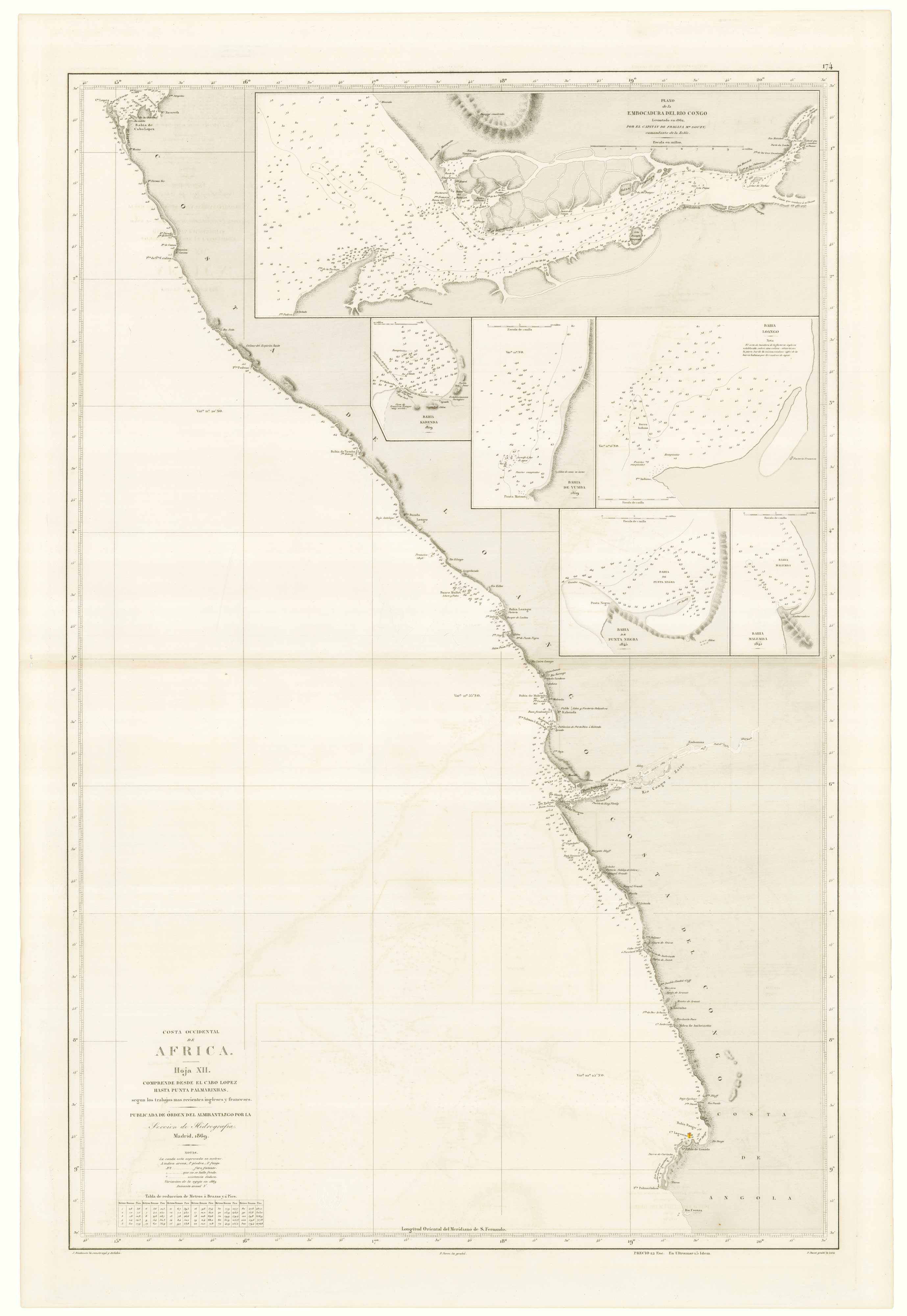
An uncommon Spanish sea chart of Angola, Namibia and South Africa
RIUDAVETS, José Maria. Date: 1870 Stock #: 18239 £700.00
[ti_wishlists_addtowishlist]
[ti_wishlists_addtowishlist]
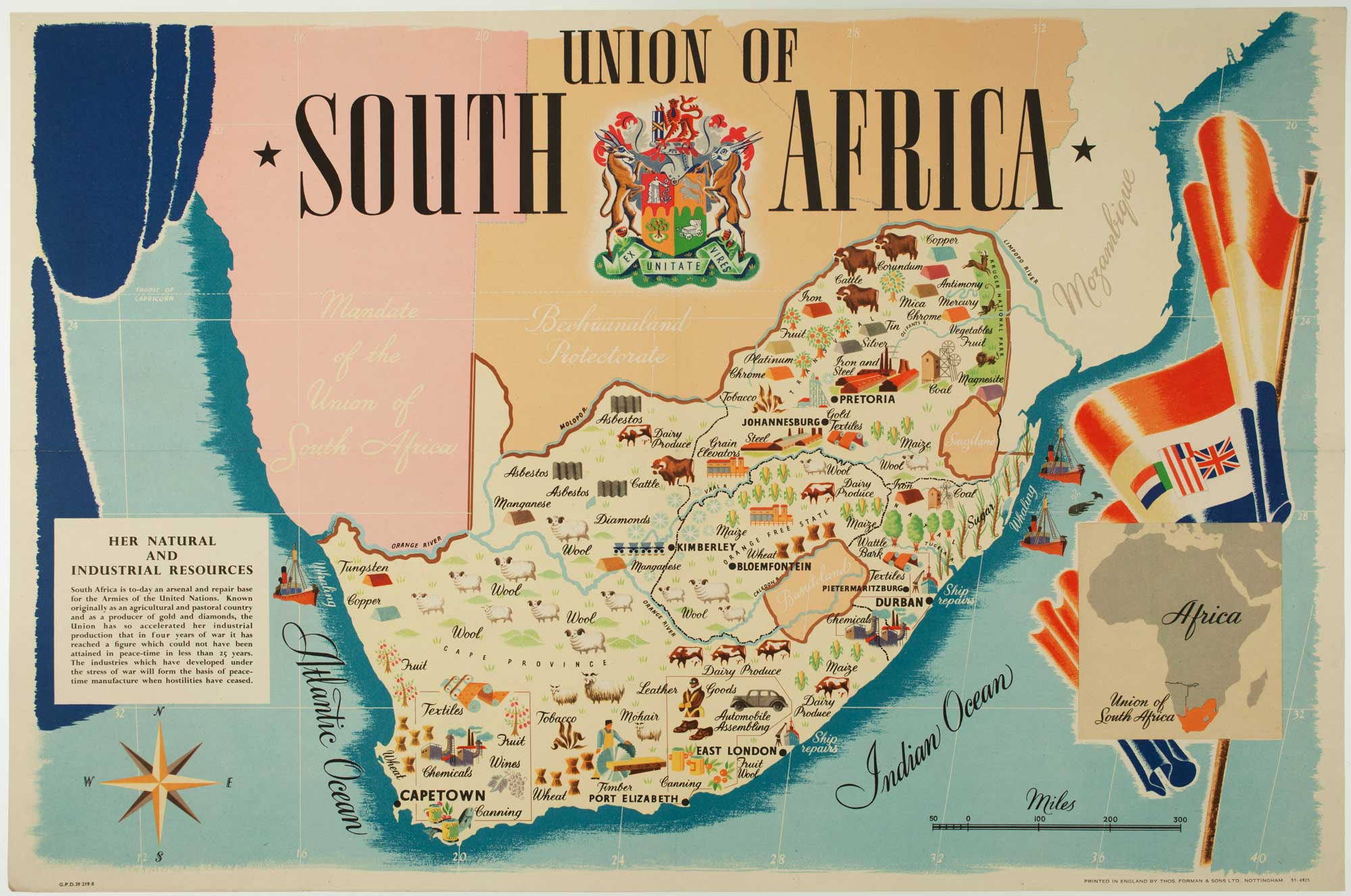
A pictorial map of South Africa from the Second World War
ANDERSON, W. Date: 1943 Stock #: 16656 £650.00
[ti_wishlists_addtowishlist]

Map of the Orange Free State published the day before the start of the Second...
STANFORD, Edward. Date: 1899 Stock #: 15864 £375.00
[ti_wishlists_addtowishlist]