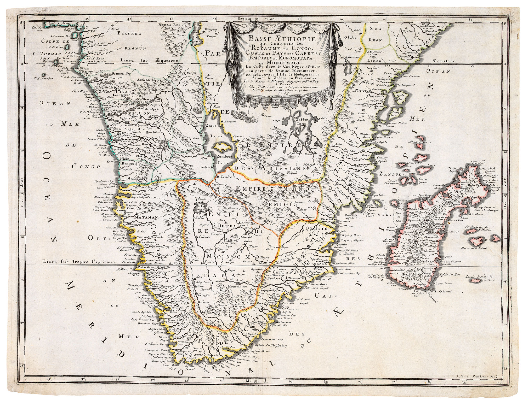


A 17th century French map of Southern Africa
Basse Aethiopie, qui comprend les Royaume de Congo, Coste, et Pays des Cafres, Empires du Monomatapa et Monoemugi.
Paris, Pierre Mariette, 1655. Original outline colour. 425 x 565mm.
£450.00
1 in stock
x
Question About This Item?
A 17th century French map of Southern Africa & SANSON, Nicolas.Stock #: 20794Similar to Sell?
Description
Africa south of the Equator, with the coastline below Cape Negro based on Blommaert and Madagascar on Sanuto. The interior detail is invented, with fictitious states, cities and rivers filling the void.
Condition:
A good example.References:
TOOLEY: Africa, p.100, plate 76; NORWICH: Africa 158.Related products
-
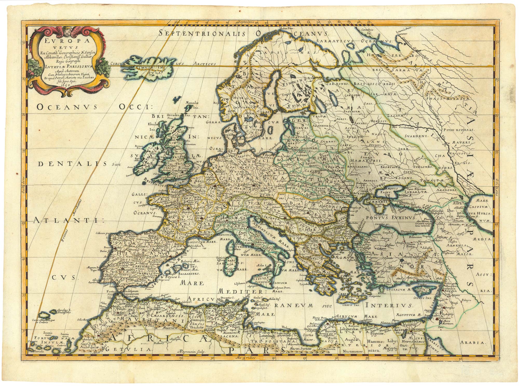
Cape of Good Hope naval prospect
AA, Pieter van der. Date: 1719Stock #: 24077 £400.00 -
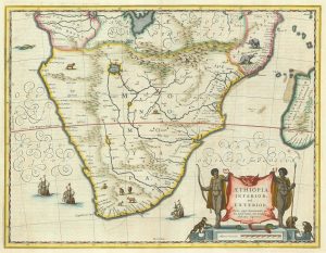
17th century Dutch map of South Africa
JANSSON, Jan. Date: 1807Stock #: 21825 £600.00 -
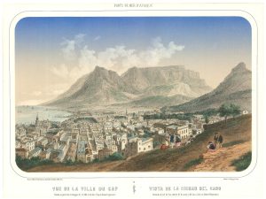
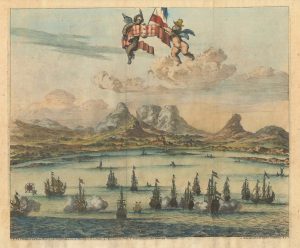
A mid-19th century view of Cape Town
DEROY, Isidore Laurent. Date: 1850Stock #: 24824 £950.00 -
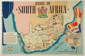
A pictorial map of South Africa from the Second World War
ANDERSON, W. Date: 1943Stock #: 16656 £650.00 -
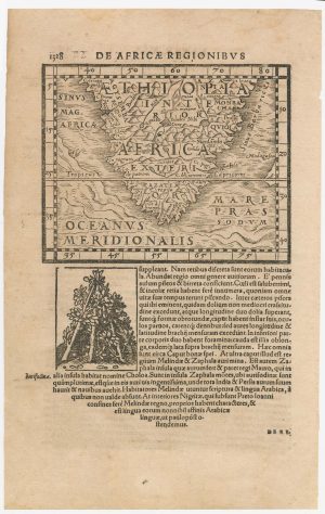
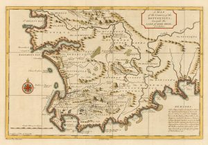
A 16th century woodcut map of Southern Africa
HONTER, Johannes. Date: 1572Stock #: 23059 £200.00 -
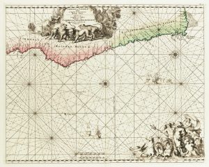
Sea chart of south west Africa
DE WIT, Frederick. Date: 1715Stock #: 11340 £650.00 -
Mid-18th century map of the Cape of Good Hope
SALMON, Thomas. Date: 1745Stock #: 20025 £260.00 -
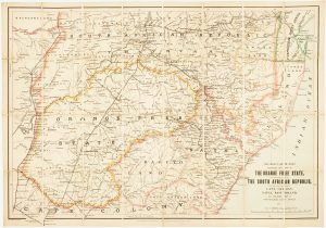
Map of the Orange Free State published the day before the start of the Second Boer War
STANFORD, Edward. Date: 1899Stock #: 15864 £375.00 -
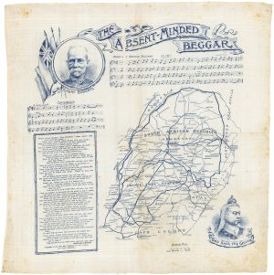
Handkerchief published to raise money for the families of Boer War Soldiers
DAILY MAIL PUBLISHING. Date: 1899Stock #: 17963 £380.00
Items by the same author
[ti_wishlists_addtowishlist]
[ti_wishlists_addtowishlist]
[ti_wishlists_addtowishlist]
[ti_wishlists_addtowishlist]
[ti_wishlists_addtowishlist]
[ti_wishlists_addtowishlist]