Antique Maps of the Pacific Ocean
Showing 1–14 of 14 products
Sort by:
[ti_wishlists_addtowishlist]
[ti_wishlists_addtowishlist]
[ti_wishlists_addtowishlist]
[ti_wishlists_addtowishlist]
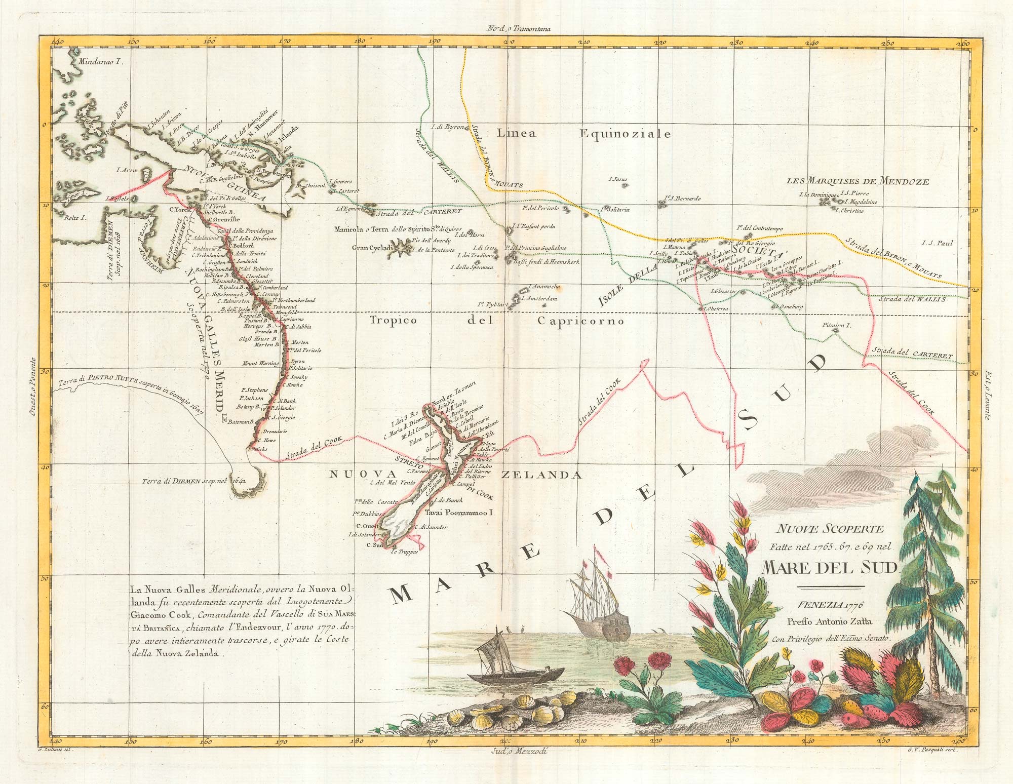
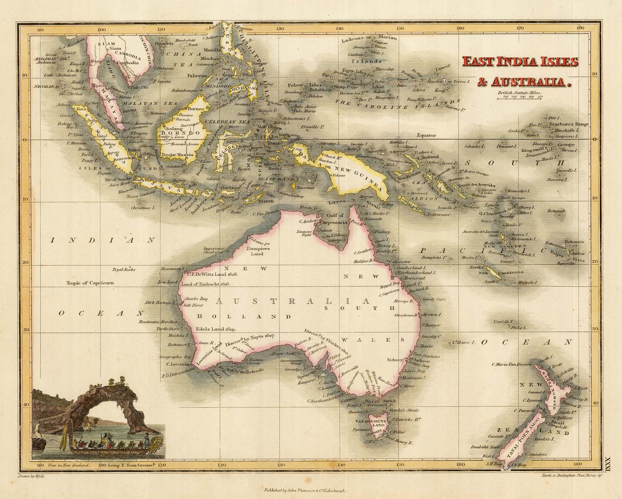
Map of Australia and New Zealand after Cook's First Voyage to the Pacific
ZATTA, Antonio. Date: 1776 Stock #: 24599 £1,000.00
[ti_wishlists_addtowishlist]
[ti_wishlists_addtowishlist]
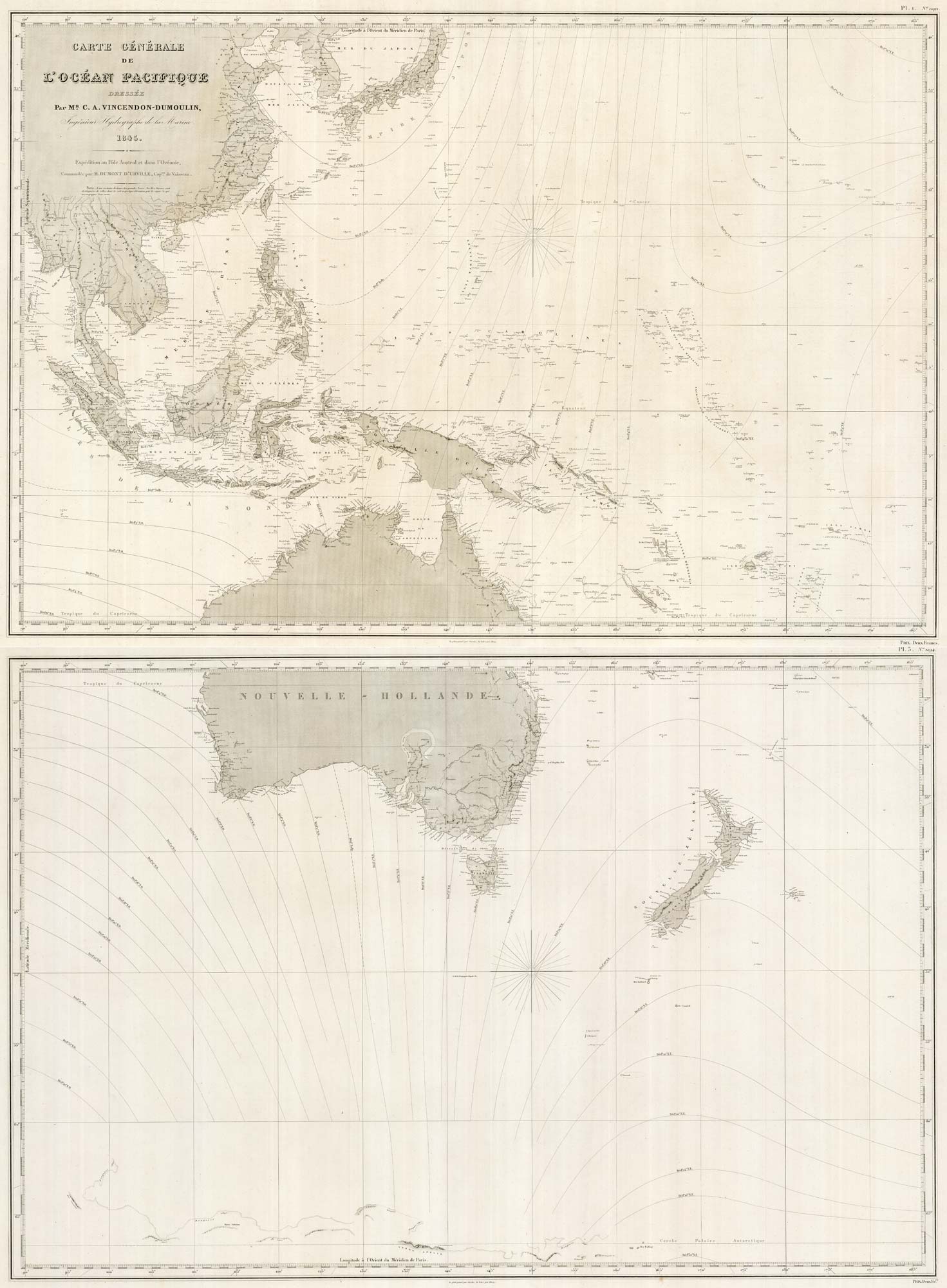
A detailed 19th century chart of the south west Pacific
VINCENDON-DUMOULIN, Clement Adrien. Date: 1874 Stock #: 22088 £1,600.00
[ti_wishlists_addtowishlist]
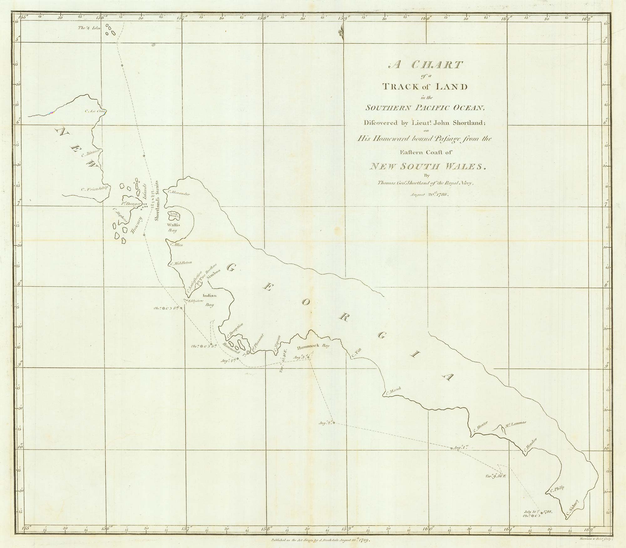
Chart from the return voyage of a 'First Fleet' ship
SHORTLAND, Thomas George. Date: 1789 Stock #: 21908 £120.00
[ti_wishlists_addtowishlist]
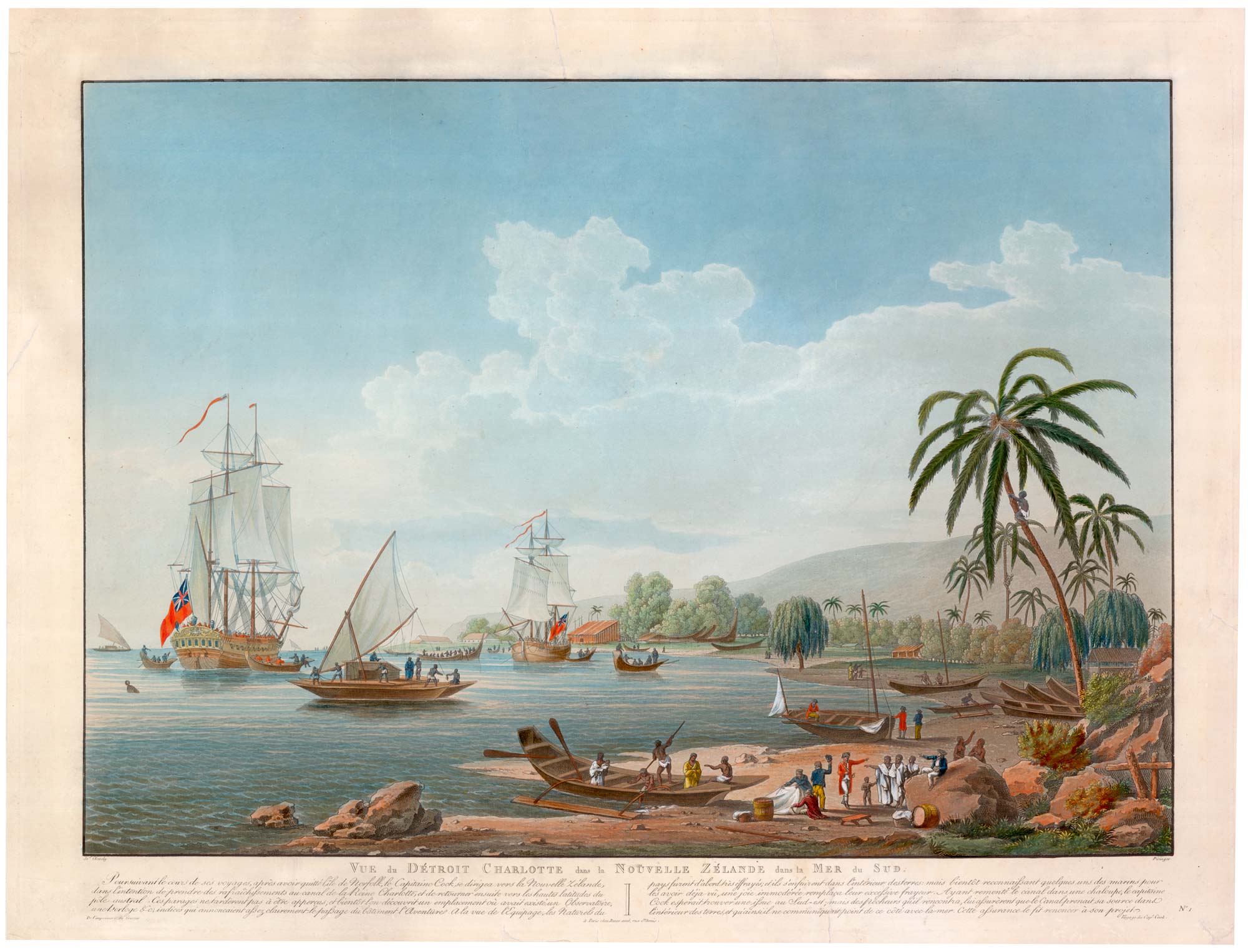
A French edition of Cleveley's famous view of Matavi Bay, Tahiti
CLEVELEY, James & John. Date: 1790 Stock #: 20326 £4,500.00
[ti_wishlists_addtowishlist]

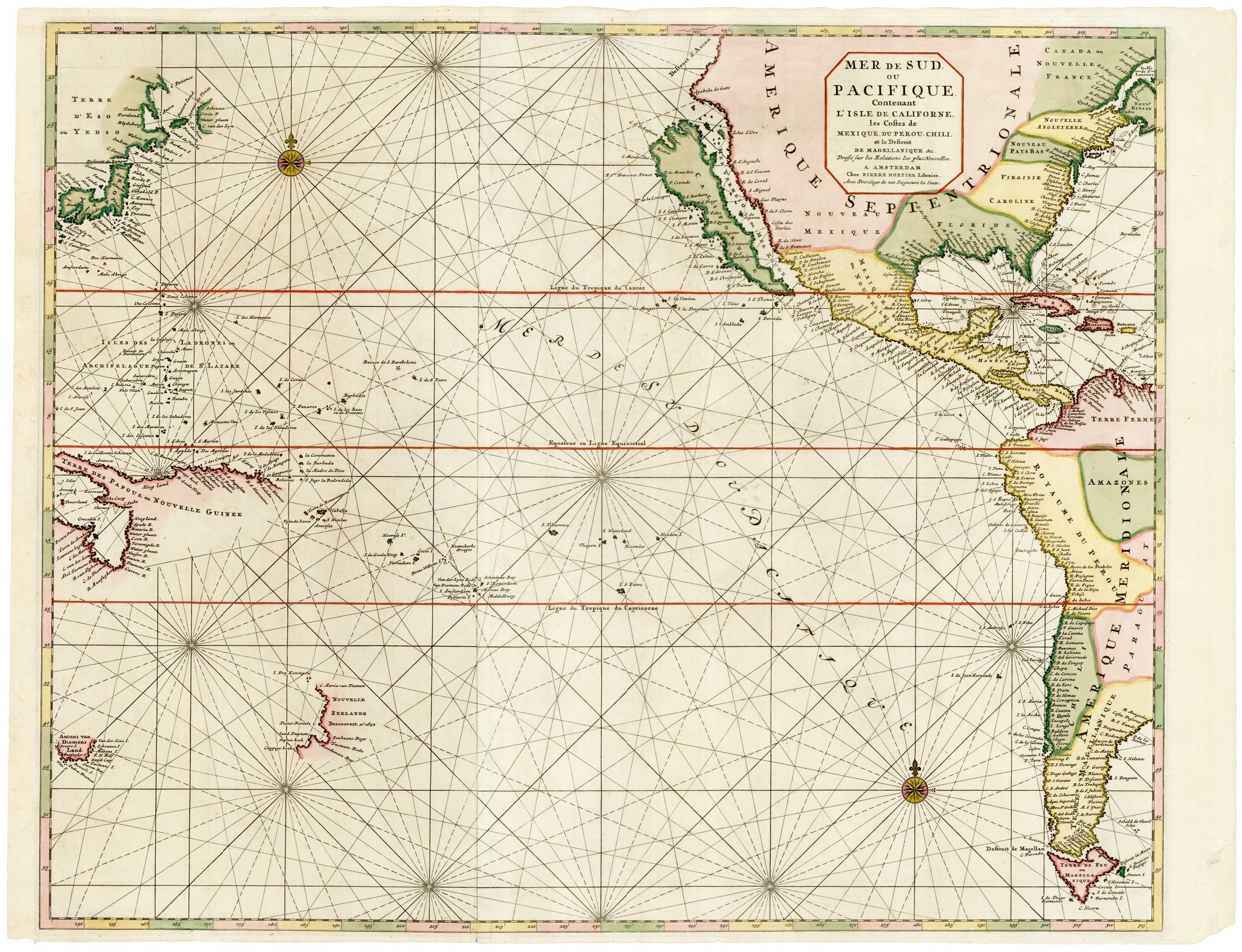
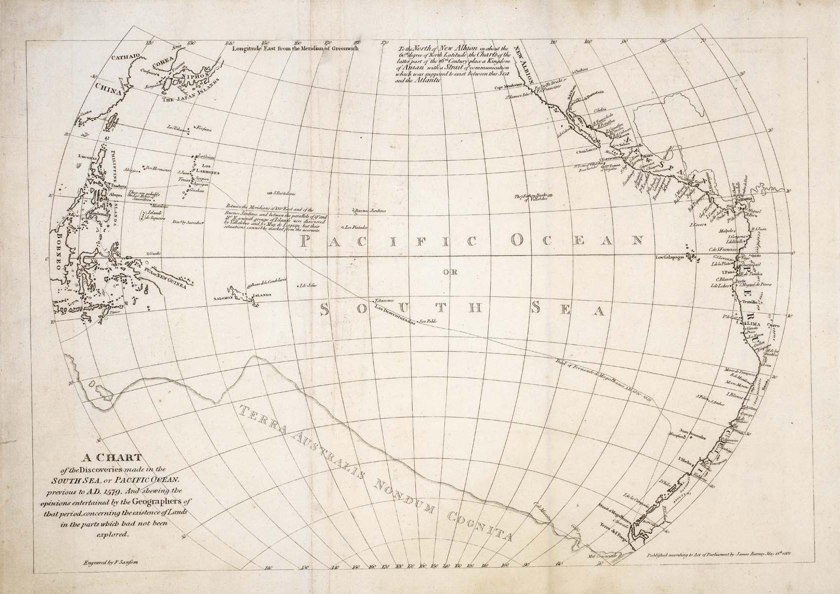
18th century map of the South Pacific Ocean
BELLIN, Jacques-Nicolas. Date: 1753 Stock #: 19908 £320.00
[ti_wishlists_addtowishlist]
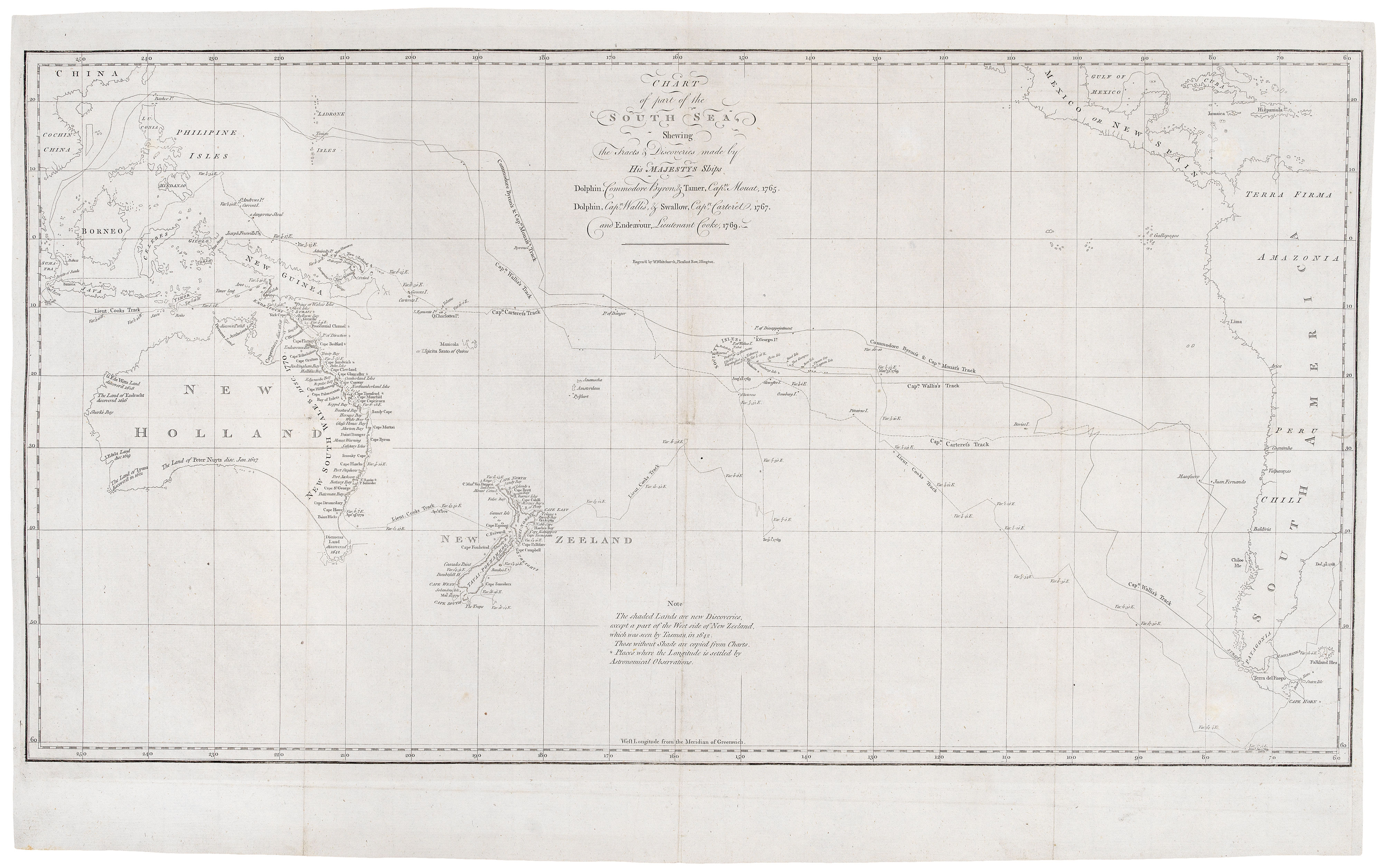
Cook's chart of the South Pacific from his First Voyage
COOK, James. Date: 1773 Stock #: 20839 £1,400.00
[ti_wishlists_addtowishlist]
[ti_wishlists_addtowishlist]
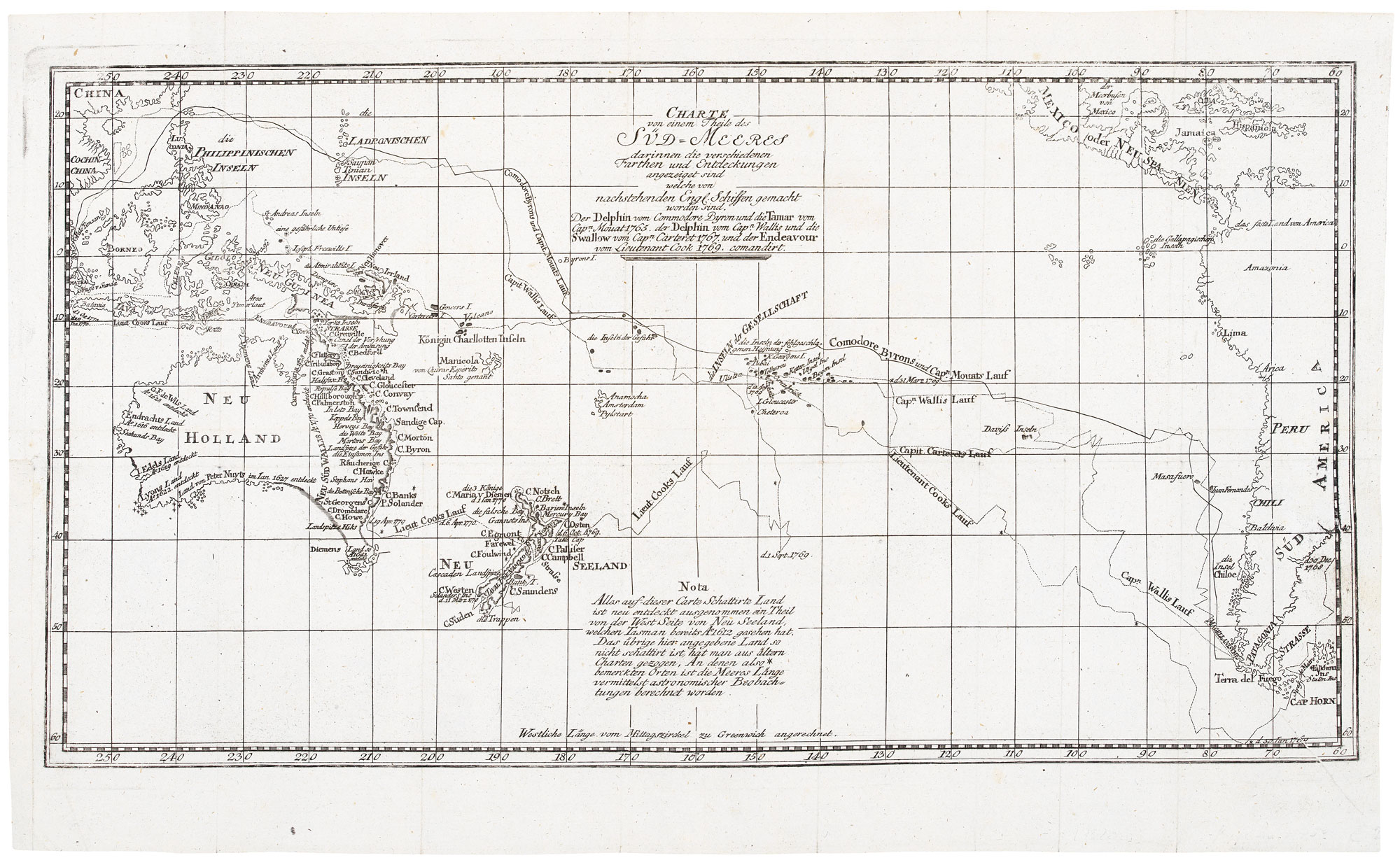
A German edition of Cook's chart of the South Pacific
COOK, James. Date: 1775 Stock #: 20470 £450.00
[ti_wishlists_addtowishlist]
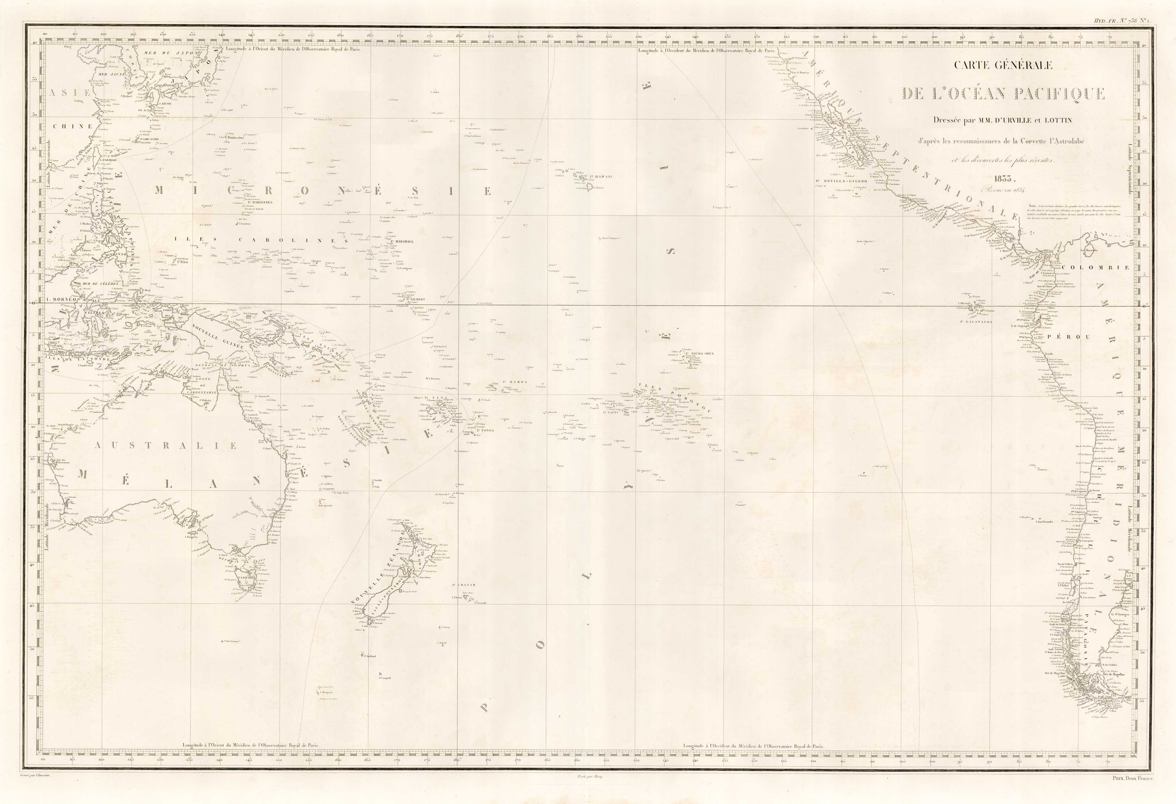
An French sea chart of the Pacific after Dumont D'Urville
Dépôt des Cartes et Plans de la Marine. Date: 1834 Stock #: 18866 £450.00
[ti_wishlists_addtowishlist]
