

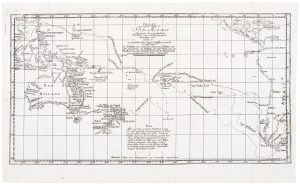
Cook’s chart of the South Pacific from his First Voyage
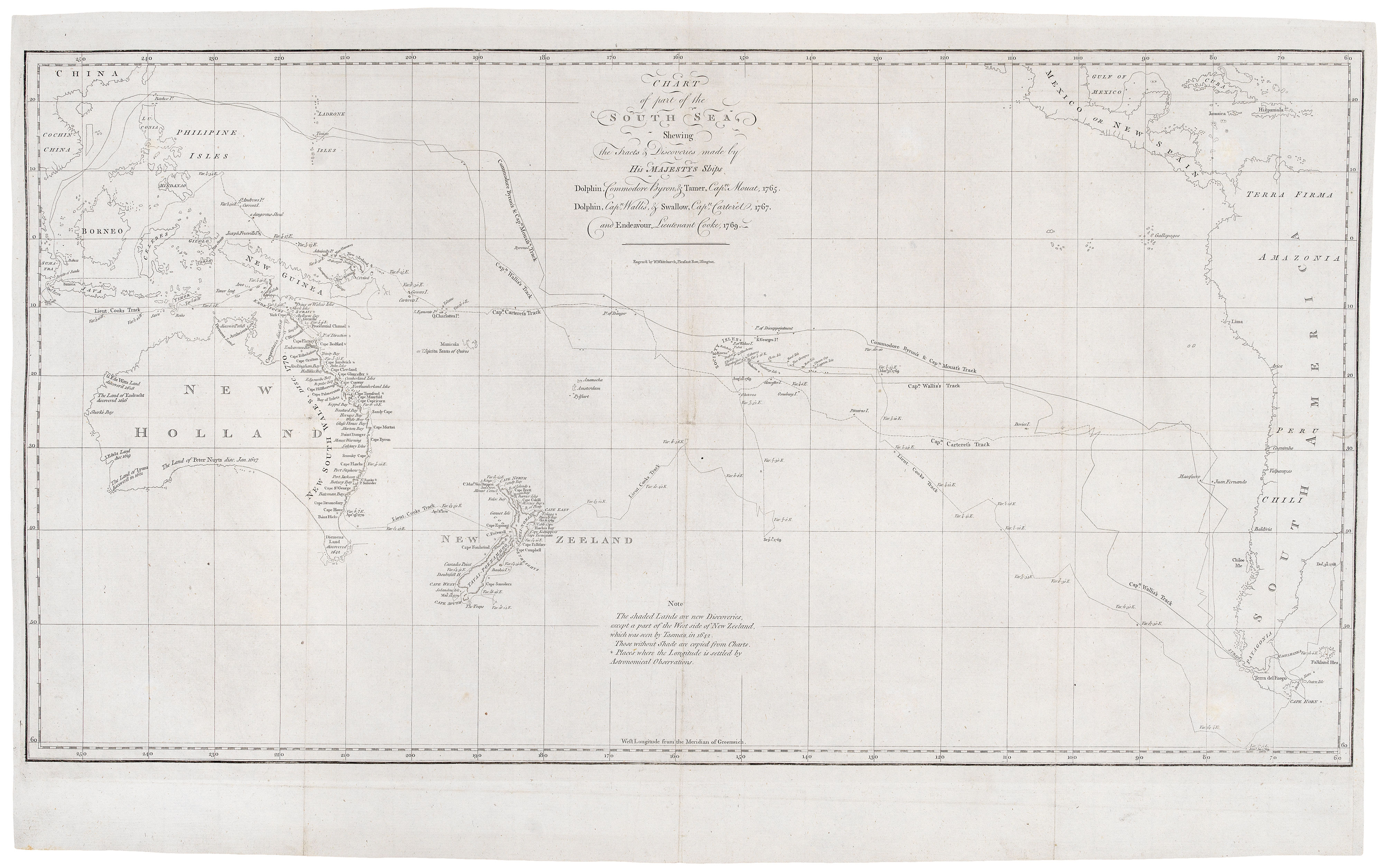
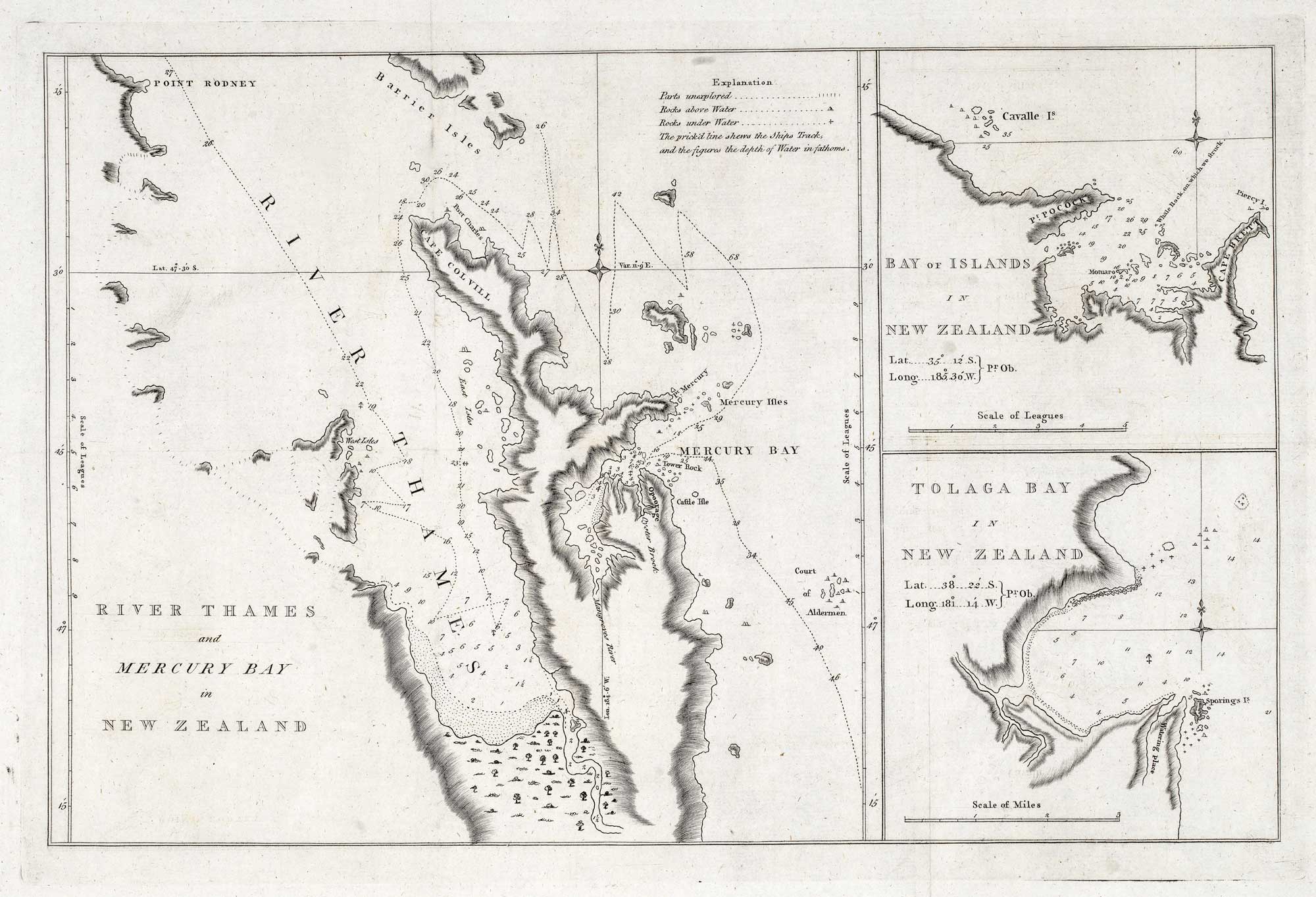
Chart of part of the South Sea, Shewing the Tracts and Discoveries made by His Majesty's Ships, Dolphin, Commodore Byron, & Tamer, Capt.n Mouat, 1765. Dolphin, Capt.n Wallis, & Swallow, Capt.n Carteret, 1767, and Endeavour, Lieutenant Cooke, 1769.
London: Strachan & Cadell, 1773. 370 x 655mm.
£1,400.00
1 in stock
x
Question About This Item?
Cook’s chart of the South Pacific from his First Voyage & COOK, James.Stock #: 20839Similar to Sell?
Description
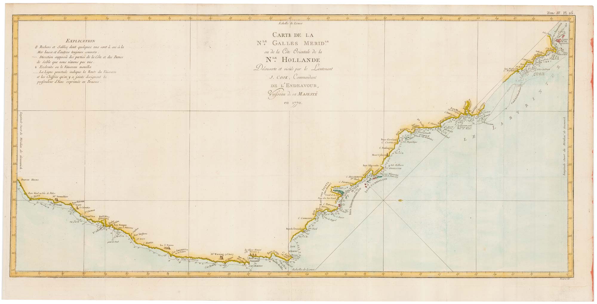
First edition Cook's chart of the South Pacific, engraved by William Whitchurch for the Official Account of Cook's First Voyage, which appeared in Hawkesworth's 'An Account of the Voyages... For making Discoveries in the Southern Hemisphere'. Cook's route across the South Pacific from Cape Horn to New Zealand Australia is marked.
Condition:
Binding folds flattened.Related products
-
18th century map of the South Pacific Ocean
BELLIN, Jacques-Nicolas. Date: 1753Stock #: 19908 £320.00 -
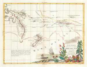
A scarce map of the Pacific
BURNEY, James. Date: 1803Stock #: 20985 £650.00 -
A German edition of Cook’s chart of the South Pacific
COOK, James. Date: 1775Stock #: 20470 £450.00 -
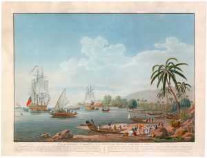
A French edition of Cleveley’s famous view of Matavi Bay, Tahiti
CLEVELEY, James & John. Date: 1790Stock #: 20326 £4,500.00 -
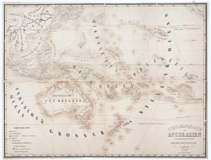
Wall map of Australasia
HOLLE, Leinhart. Date: 1860Stock #: 12843 £600.00 -
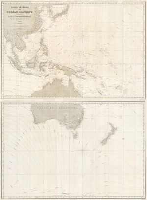
A detailed 19th century chart of the south west Pacific
VINCENDON-DUMOULIN, Clement Adrien. Date: 1874Stock #: 22088 £1,600.00 -
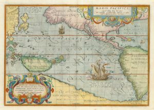
The first printed map of the Pacific
ORTELIUS, Abraham. Date: 1601Stock #: 25089 £5,500.00 -
Map of Australia and New Zealand after Cook’s First Voyage to the Pacific
ZATTA, Antonio. Date: 1776Stock #: 24599 £1,000.00 -
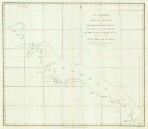
Chart from the return voyage of a ‘First Fleet’ ship
SHORTLAND, Thomas George. Date: 1789Stock #: 21908 £120.00
Items by the same author
[ti_wishlists_addtowishlist]
[ti_wishlists_addtowishlist]

[ti_wishlists_addtowishlist]
[ti_wishlists_addtowishlist]
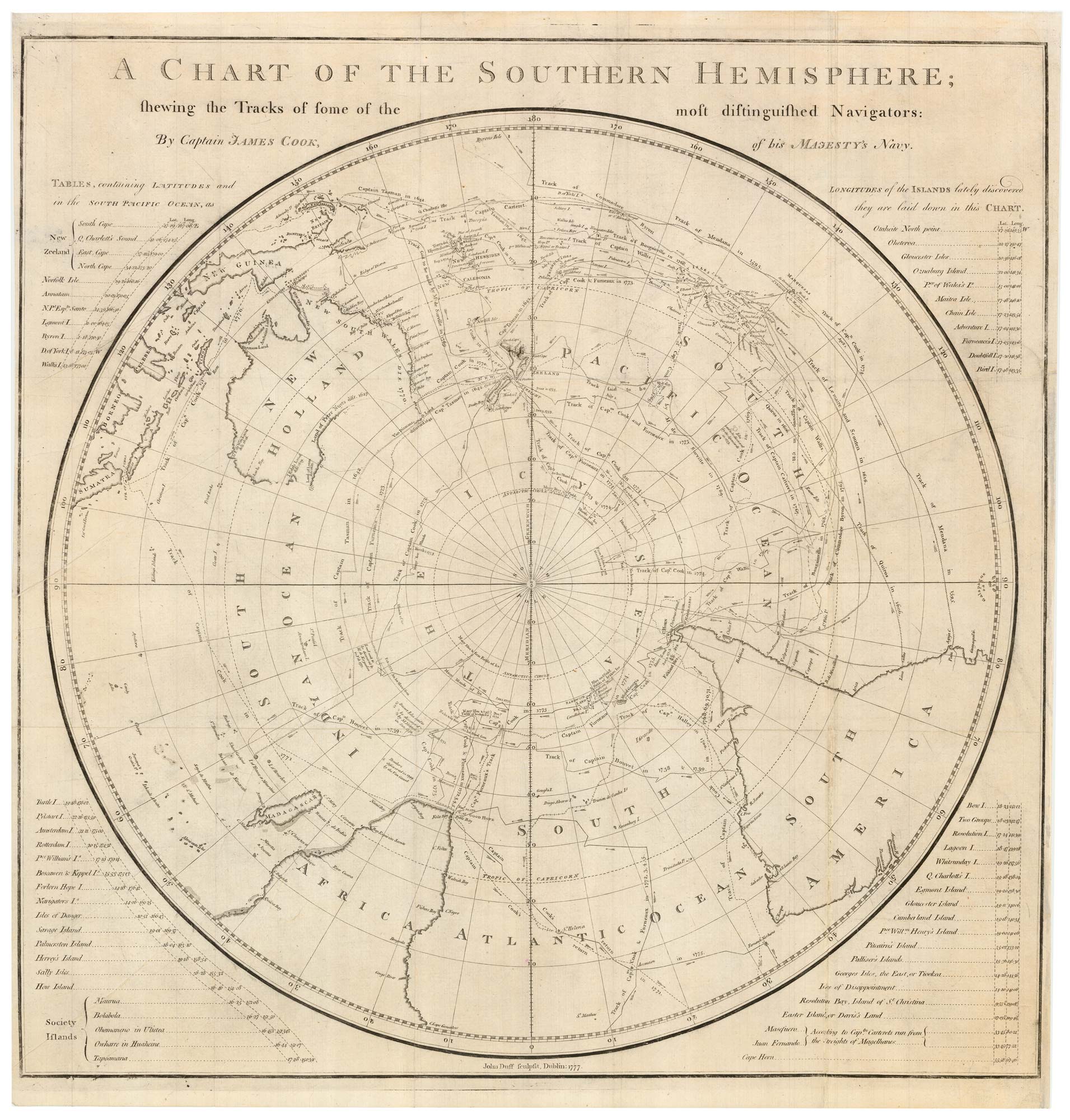
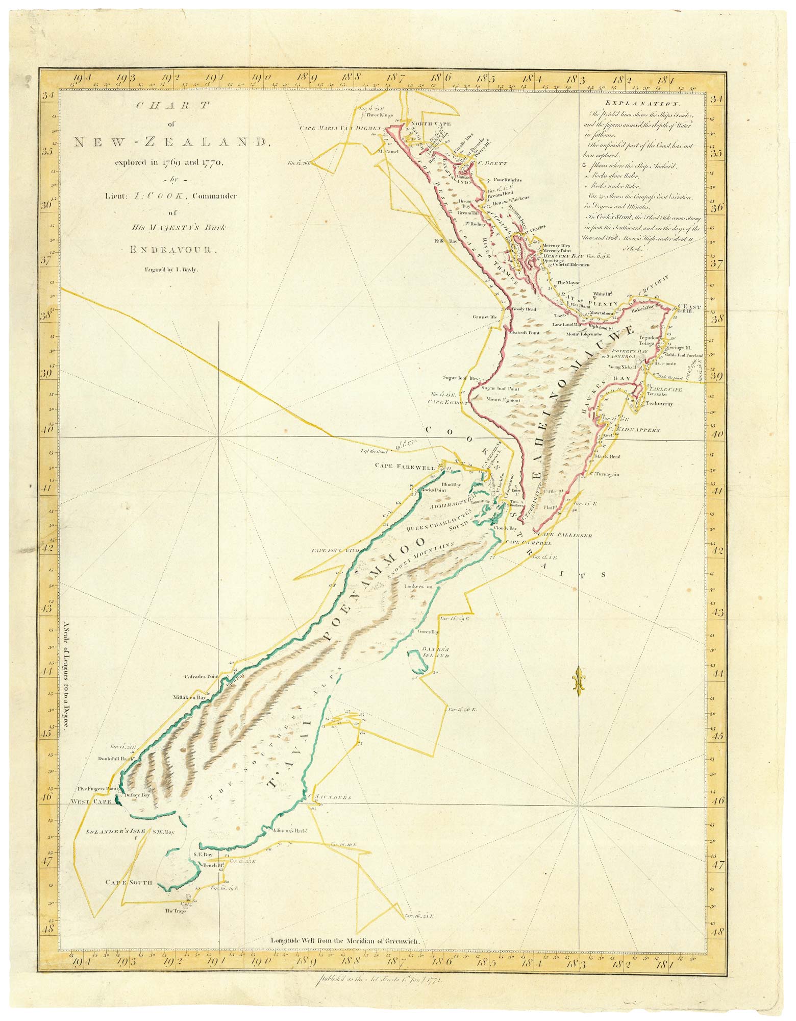
The scarce Dublin edition of Cook's map of the Southern Hemisphere
COOK, James. Date: 1777 Stock #: 21960 £1,200.00
[ti_wishlists_addtowishlist]
[ti_wishlists_addtowishlist]