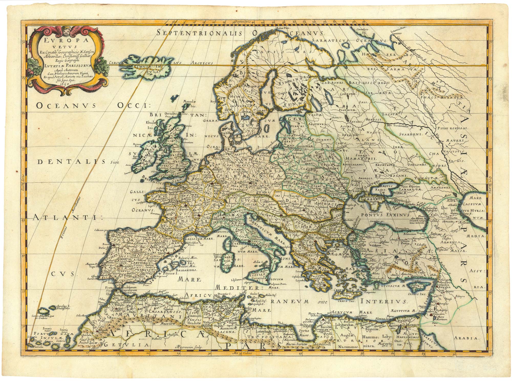


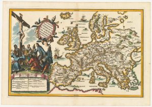
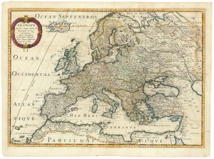
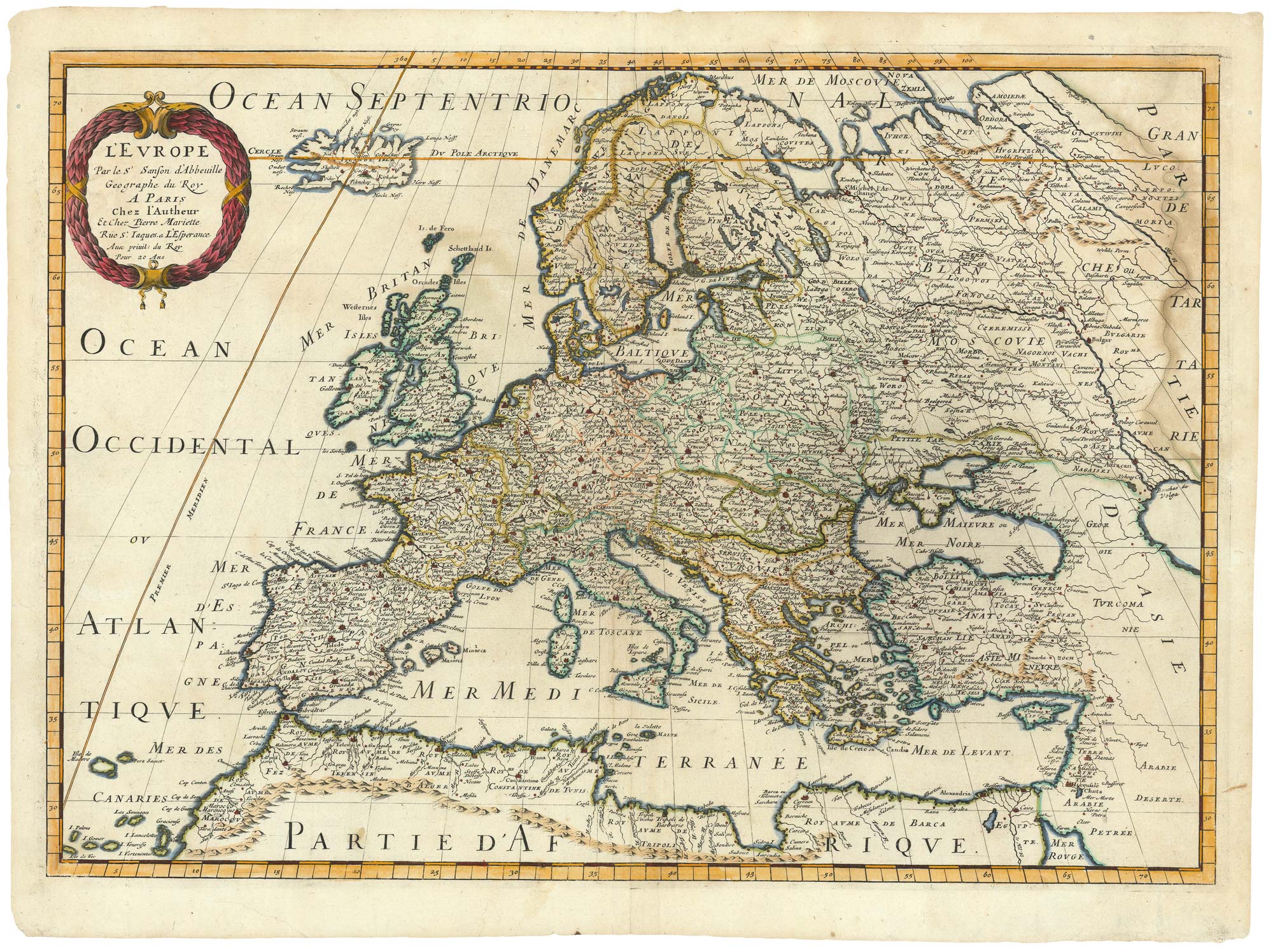
17th century map of classical Europe
Europa Vetus...
Paris: Pierre Mariette, c.1650. Coloured. 395 x 555mm.
£480.00
Description
A map of classical Europe, with Roman names. Iceland is named Thule. Enraved by Peyrounin
Condition:
A good example.Related products
-

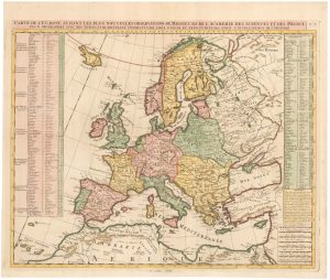
A Napoleonic edition of Robert de Vaugondy’s wall map of Europe
ROBERT DE VAUGONDY, Didier. Date: 1805Stock #: 20667 £900.00 -
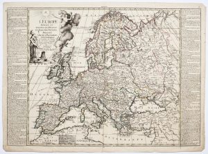
An 18th century map of Europe
CHATELAIN, Henri Abraham. Date: 1747Stock #: 23391 £500.00 -
A map of Europe in the late 18th century
NOLIN, Jean Baptiste. Date: 1795Stock #: 24501 £500.00 -
An early 18th century map of Catholic Europe
SCHERER, Heinrich. Date: 1700Stock #: 23250 £600.00 -
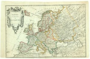
Extremely rare Russian edition of Bonne’s map of Europe
BONNE, Rigobert. Date: 1793Stock #: 20509 £500.00 -
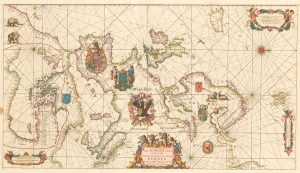
An exceptional 17th century sea chart of Europe
DE WIT, Frederick. Date: 1675Stock #: 23450 £7,500.00 -
A scarce woodcut map of Europe
BELLEFOREST, François de. Date: 1575Stock #: 20432 £1,200.00 -
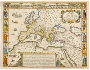
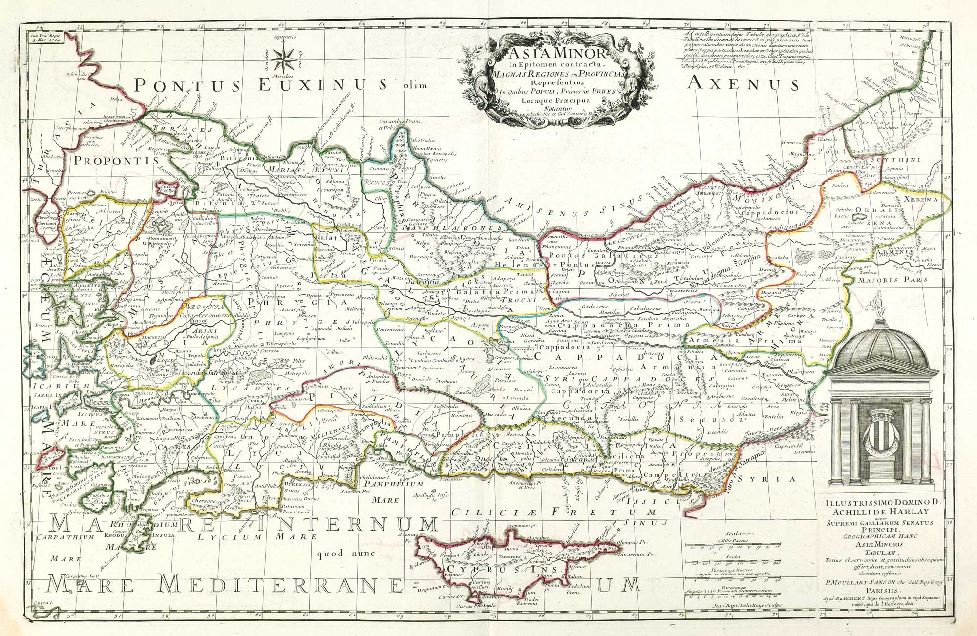
A 17th century map of the Roman Empire
SPEED, John. Date: 1676Stock #: 25079 £1,500.00 -
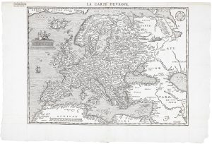
17th century map of Europe
SANSON, Nicolas. Date: 1658Stock #: 24738 £580.00
Items by the same author
[ti_wishlists_addtowishlist]
[ti_wishlists_addtowishlist]
[ti_wishlists_addtowishlist]
[ti_wishlists_addtowishlist]
[ti_wishlists_addtowishlist]
[ti_wishlists_addtowishlist]