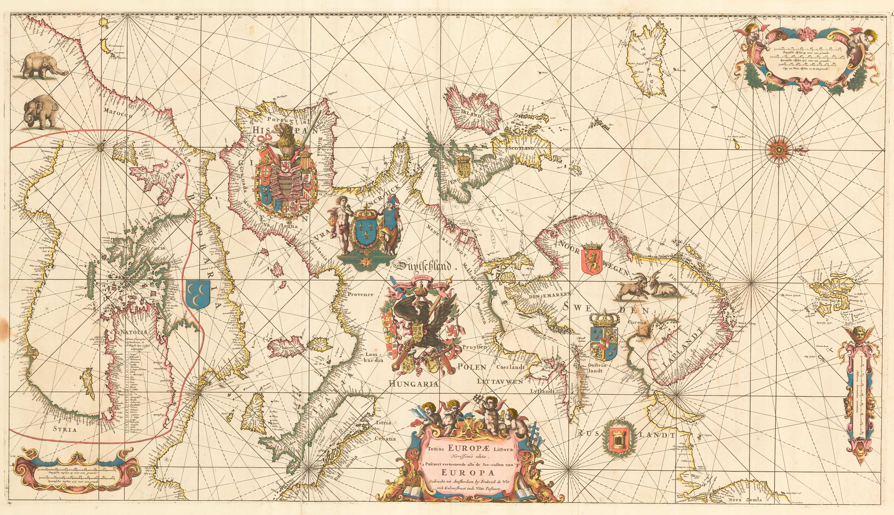


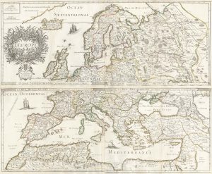
An exceptional 17th century sea chart of Europe
Totius Europae Littora Novissimè edita. Pascaert vertoonende alle de See-custen van Europa.
Amsterdam, c.1675. Fine original colour. Two sheets conjoined, total 495 x 890mm.
£7,500.00
1 in stock
x
Question About This Item?
An exceptional 17th century sea chart of Europe & DE WIT, Frederick.Stock #: 23450Similar to Sell?
Description
De Wit's superb sea-chart of Europe, published in the 'Orbis Maritimus ofte Zee Atlas', orientated with north to the right, with the eastern part in an inset in North Africa. The chart is notable for the decorative element, notably the large armorials for each of the principal countries contained, as well as elephants and goats, two scale cartouches and a large title cartouche of Cherubs.
A classic collector's map.
Condition:
Repairs to verdigris cracks, as usual on De Wit maps.References:
KOEMAN: Wit 16.Related products
-
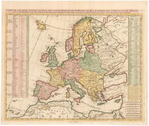
Extremely rare Russian edition of Bonne’s map of Europe
BONNE, Rigobert. Date: 1793Stock #: 20509 £500.00 -
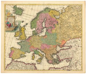
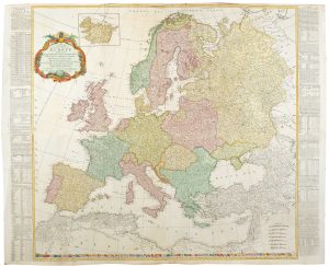
A four-sheet wall map of Europe
DE WIT, Frederick. Date: 1730Stock #: 20094 £6,500.00 -
A 17th century wall map of Europe on four sheets
DU VAL, Pierre. Date: 1668Stock #: 19780 £2,000.00 -
A 17th century Dutch map of Europe
ALLARD, Carel. Date: 1690Stock #: 24921 £900.00 -
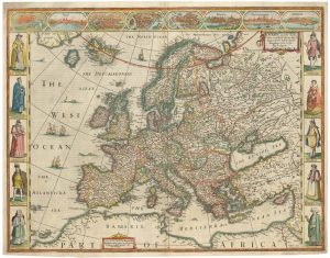
17th century English carte à figure map of Europe
SPEED, John. Date: 1665Stock #: 23986 £2,600.00 -
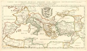
A scarce map of the Roman Empire based on Appian
DU VAL, Pierre. Date: 1663Stock #: 19777 £900.00 -
A four-sheet wall map of Europe in 1772
KITCHIN, Thomas. Date: 1772Stock #: 20727 £1,500.00 -
An 18th century map of Europe
CHATELAIN, Henri Abraham. Date: 1747Stock #: 23391 £500.00 -

Munster’s famous ‘Upside-down’ map of Europe
MUNSTER, Sebastian. Date: 1572Stock #: 24568 £1,350.00
Items by the same author
[ti_wishlists_addtowishlist]

[ti_wishlists_addtowishlist]

[ti_wishlists_addtowishlist]
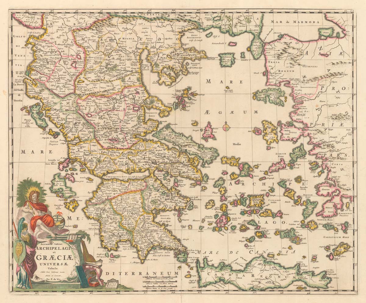
A late 17th century map of Greece in fine colour
DE WIT, Frederick. Date: 1680 Stock #: 20417 £750.00
[ti_wishlists_addtowishlist]
[ti_wishlists_addtowishlist]
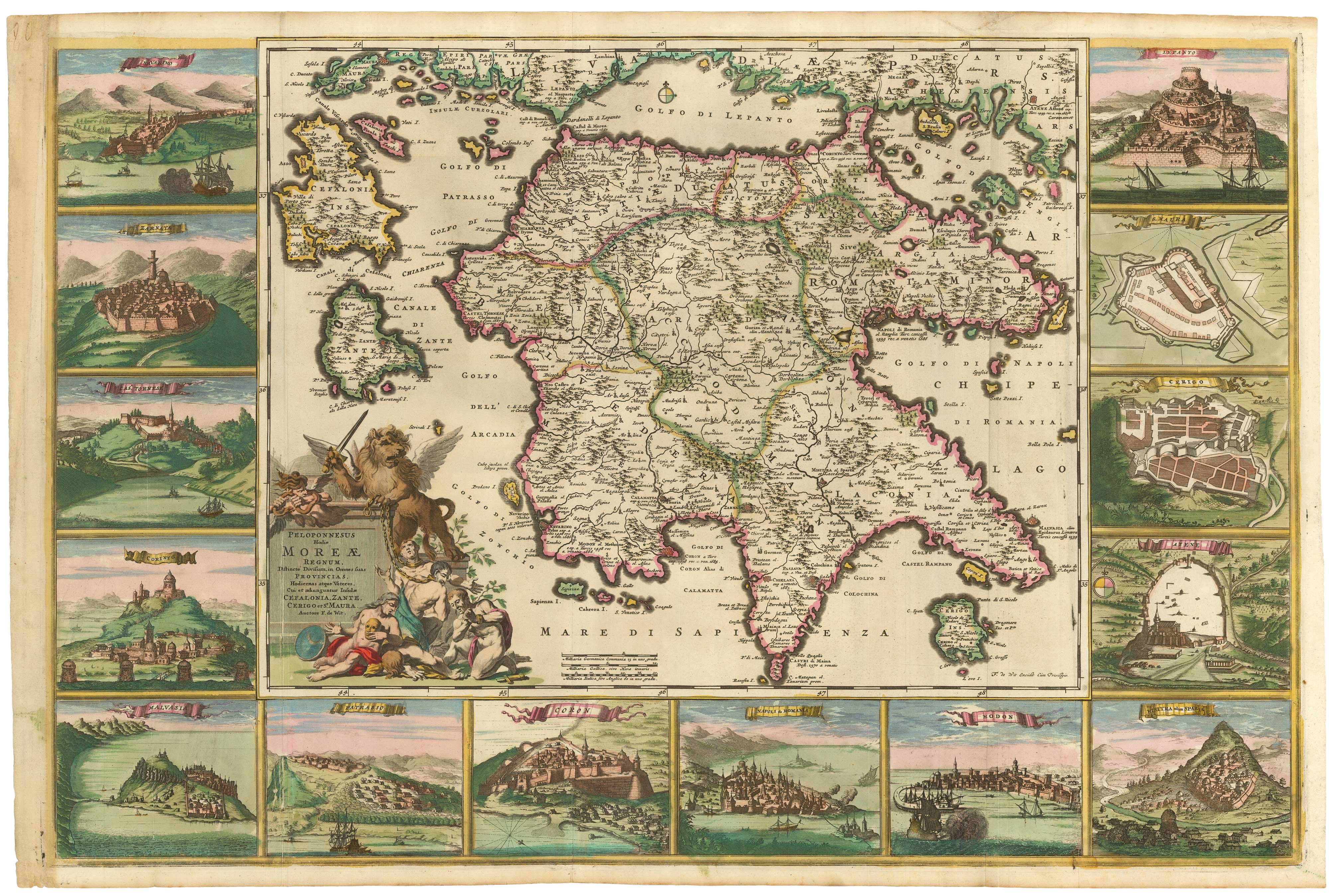
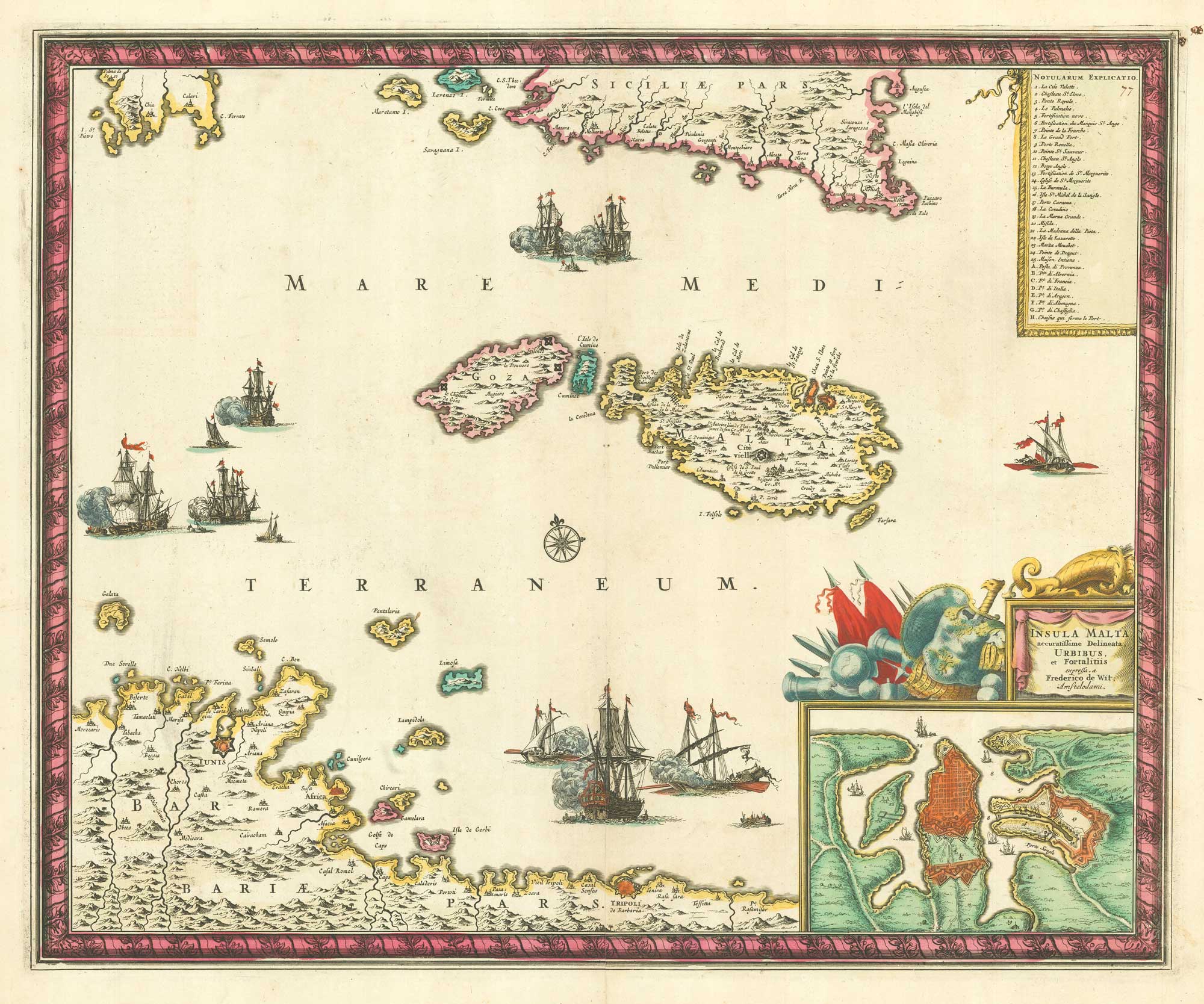
The Morea in fine original colour, surrounded by prospects of towns
DE WIT, Frederick. Date: 1685 Stock #: 21953 £4,500.00
[ti_wishlists_addtowishlist]