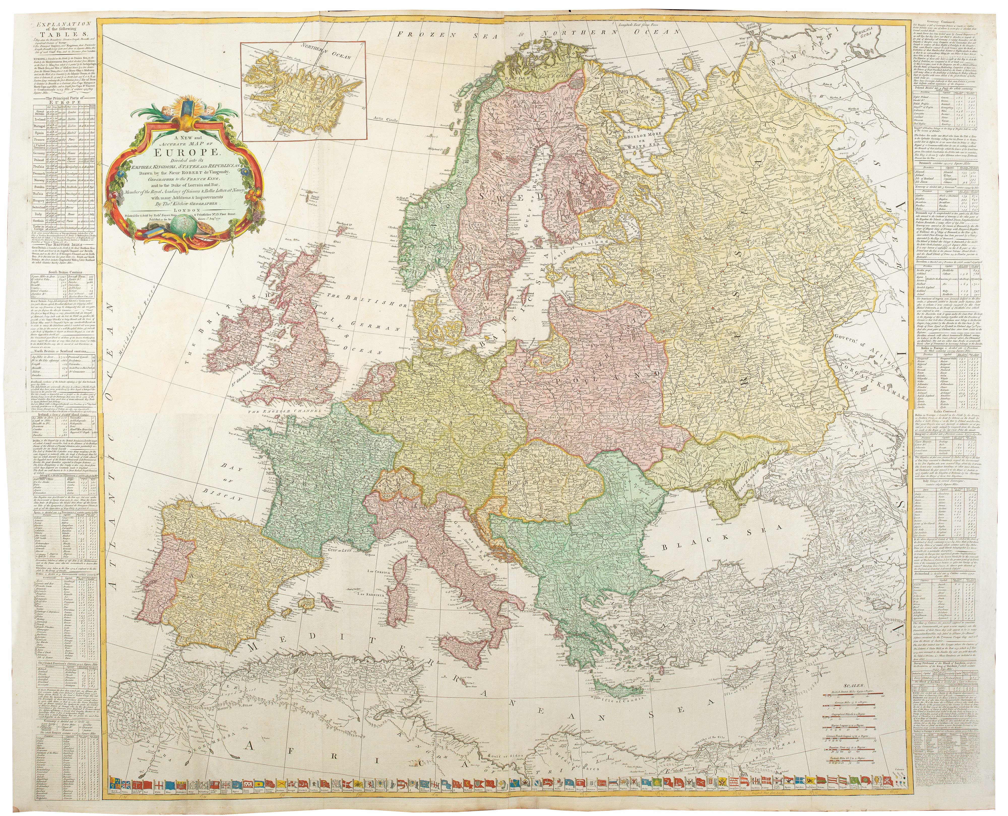


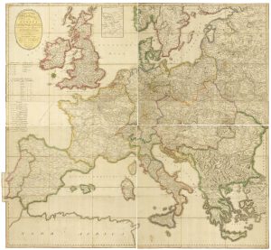
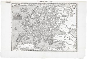
A four-sheet wall map of Europe in 1772
A New and Accurate Map of Europe, Divided into Its Empires, Kingdoms, States and Republics &c Drawn by the Sieur Robert de Vaugondy, Geographer to the French King, and to the Duke of Lorraine and Bar, Member of the Royal Academy of Sciences & Belles Letters at Nancy, with many Additions & Improvements.
London: Robert Sayer, 1772. Coloured. Four sheets conjoined, total 1020 x 1200mm.
£1,500.00
Description
A large and detailed map of Europe, with an inset of Iceland. Down the sides are engraved-text statistics; along the bottom are 70 coloured ensigns of European, Asian and African countries.
Condition:
A good example.Related products
-
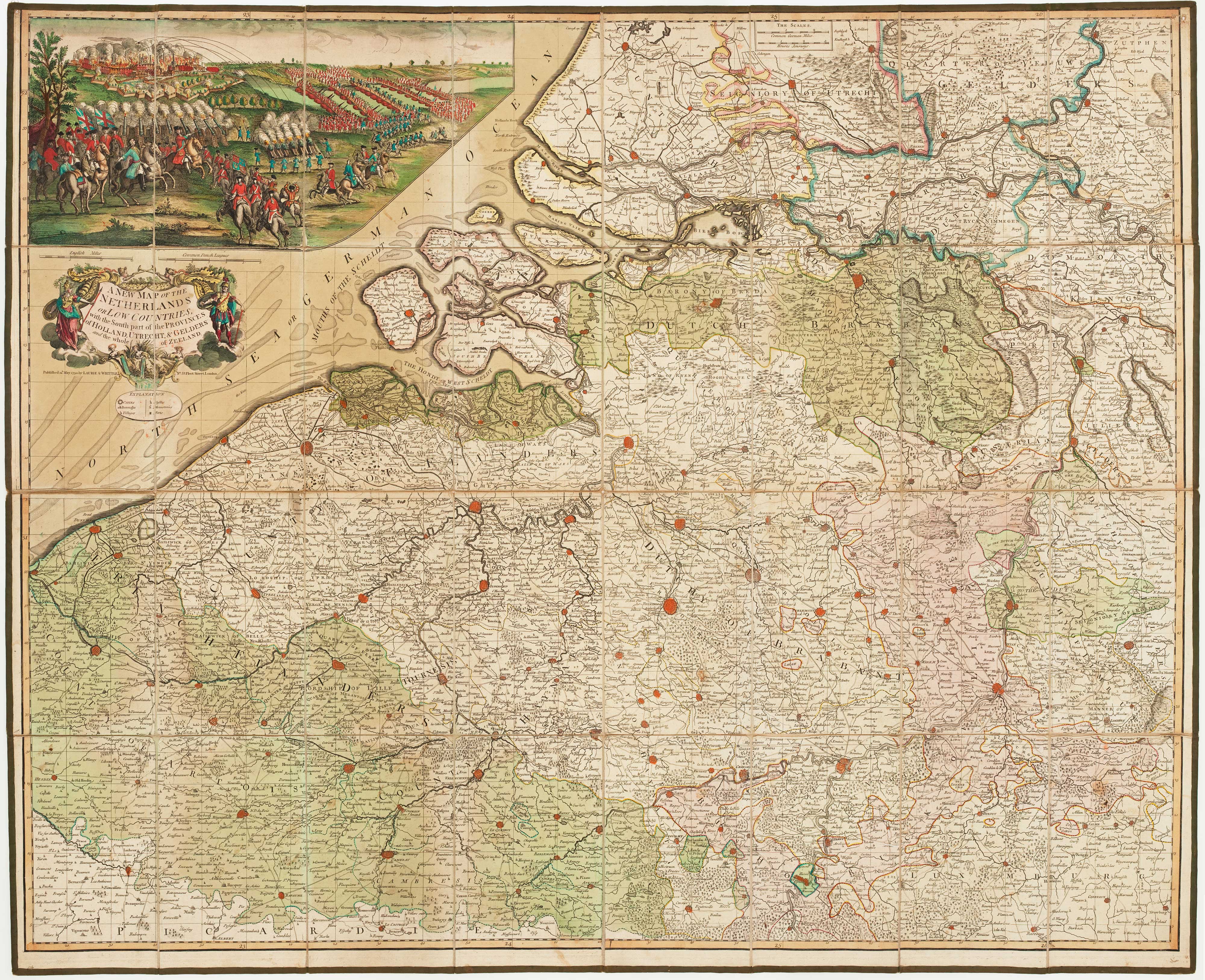
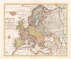
An early 18th century map of Catholic Europe
SCHERER, Heinrich. Date: 1700Stock #: 23250 £600.00 -
A wall map of Europe according to the Congress of Vienna
TRAUX, Maximilian de. Date: 1818Stock #: 17177 £1,400.00 -
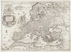
18th century map of Europe
ALBRIZZI, Giovanni Battista. Date: 1740Stock #: 23165 £280.00 -
Rare map of the postal routes of Europe
PONGRATZ, Janos. Date: 1806Stock #: 25161 £550.00 -
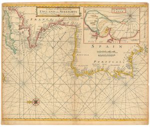
An 18th century sea chart of the Atlantic coasts of Europe
MOUNT & PAGE. Date: 1760Stock #: 24819 £460.00 -
First folio altas map of Europe to be engraved & published in England
BLOME, Richard. Date: 1669Stock #: 15151 £850.00 -
A scarce woodcut map of Europe
BELLEFOREST, François de. Date: 1575Stock #: 20432 £1,200.00 -
17th century map of Europe
SANSON, Nicolas. Date: 1658Stock #: 24738 £580.00 -
An uncommon 17th century map of Europe
MERIAN, Matthaus. Date: 1640Stock #: 22936 £750.00
Items by the same author
[ti_wishlists_addtowishlist]
[ti_wishlists_addtowishlist]
[ti_wishlists_addtowishlist]
[ti_wishlists_addtowishlist]
[ti_wishlists_addtowishlist]