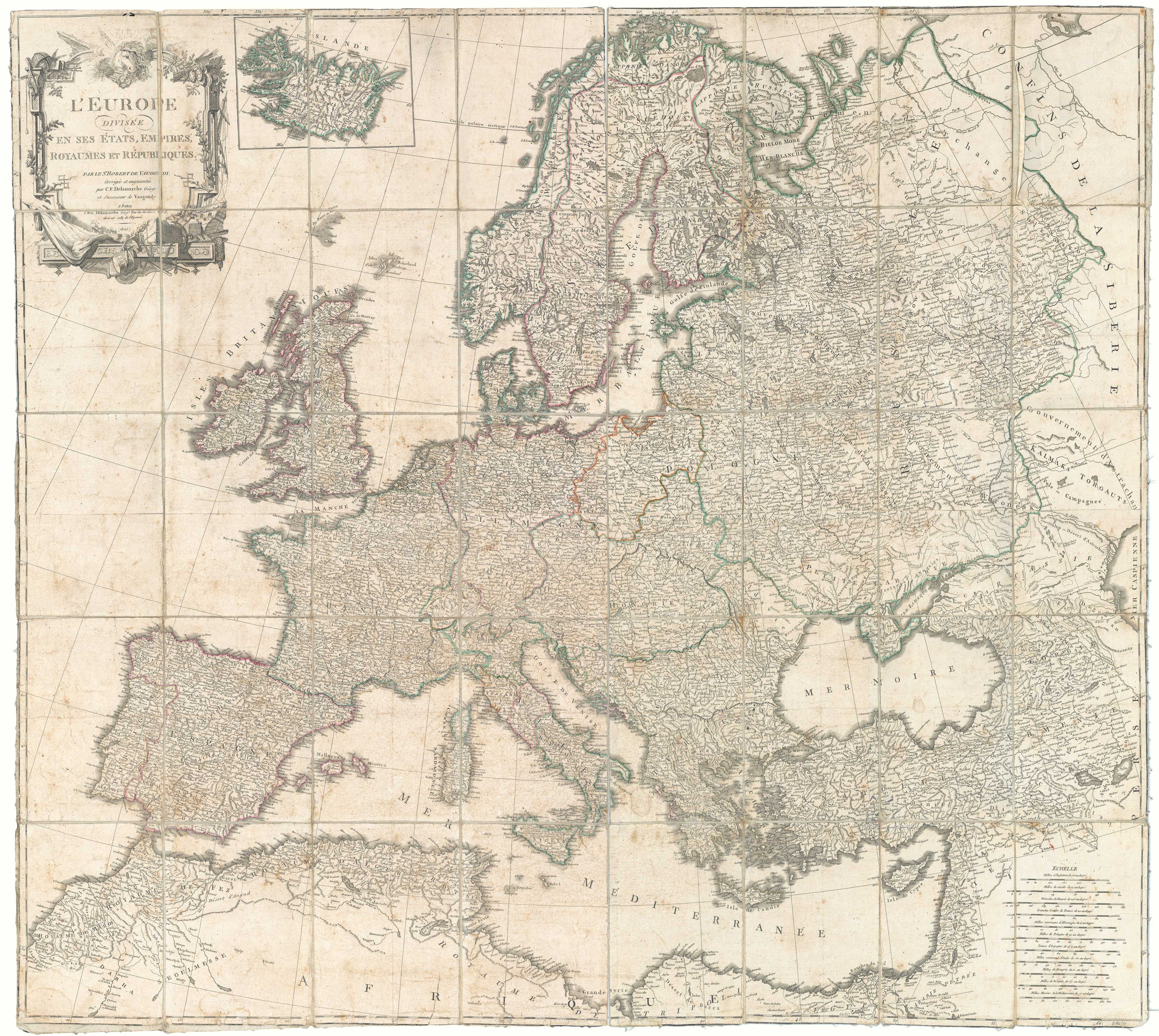


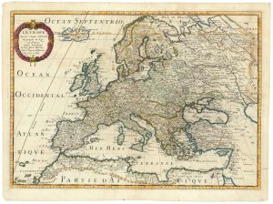
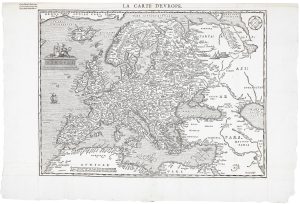
A Napoleonic edition of Robert de Vaugondy’s wall map of Europe
L'Europe Divisée en ses États, Empires, Royaumes et Républiques. Par S.r Robert de Vaugondy, Corrigée et augmentée par C.F. Delamarche Géogr. et Successeur de Vaugondy.
Paris, 1805. Original colour. Dissected and laid on linen, as issued. total 960 x 1115mm, with hanging loops and slipcase.
£900.00
1 in stock
x
Question About This Item?
A Napoleonic edition of Robert de Vaugondy’s wall map of Europe & ROBERT DE VAUGONDY, Didier.Stock #: 20667Similar to Sell?
Description
A large and detailed wall map of Europe, first published c.1767, but his example dated 1805, the year after Napoleon was crowned Emperor. France is shown with its acquisitions including Belgium, Piedmont and Liguria.
Condition:
Some toning and wear, slipcase distressed.Related products
-
18th century map of Europe
ALBRIZZI, Giovanni Battista. Date: 1740Stock #: 23165 £280.00 -
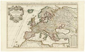
Extremely rare Russian edition of Bonne’s map of Europe
BONNE, Rigobert. Date: 1793Stock #: 20509 £500.00 -
17th century map of Europe
SANSON, Nicolas. Date: 1658Stock #: 24738 £580.00 -
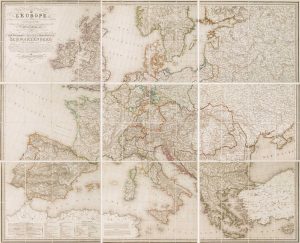
A large map of Europe at the end of the Napoleonic Wars
MAIRE, Nicolas. Date: 1817Stock #: 22250 £900.00 -
An exceptional 17th century sea chart of Europe
DE WIT, Frederick. Date: 1675Stock #: 23450 £7,500.00 -
An uncommon 17th century map of Europe
MERIAN, Matthaus. Date: 1640Stock #: 22936 £750.00 -
A scarce woodcut map of Europe
BELLEFOREST, François de. Date: 1575Stock #: 20432 £1,200.00 -
A two-sheet map of Europe
JAILLOT, Alexis-Hubert. Date: 1705Stock #: 24059 £1,000.00 -
A wall map of Europe according to the Congress of Vienna
TRAUX, Maximilian de. Date: 1818Stock #: 17177 £1,400.00
Items by the same author
[ti_wishlists_addtowishlist]
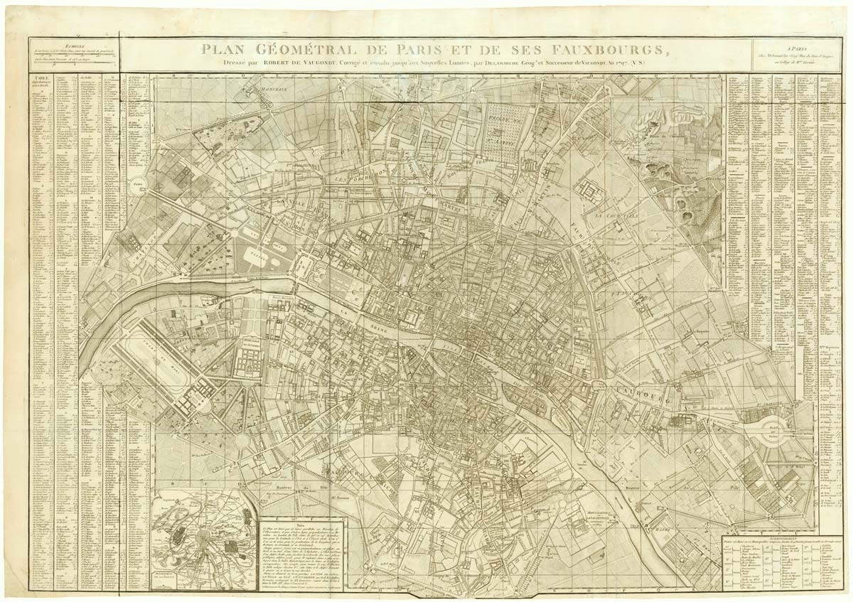
A large plan of Paris during the Rise of Napoleon
ROBERT DE VAUGONDY, Didier. Date: 1797 Stock #: 20620 £1,000.00
[ti_wishlists_addtowishlist]
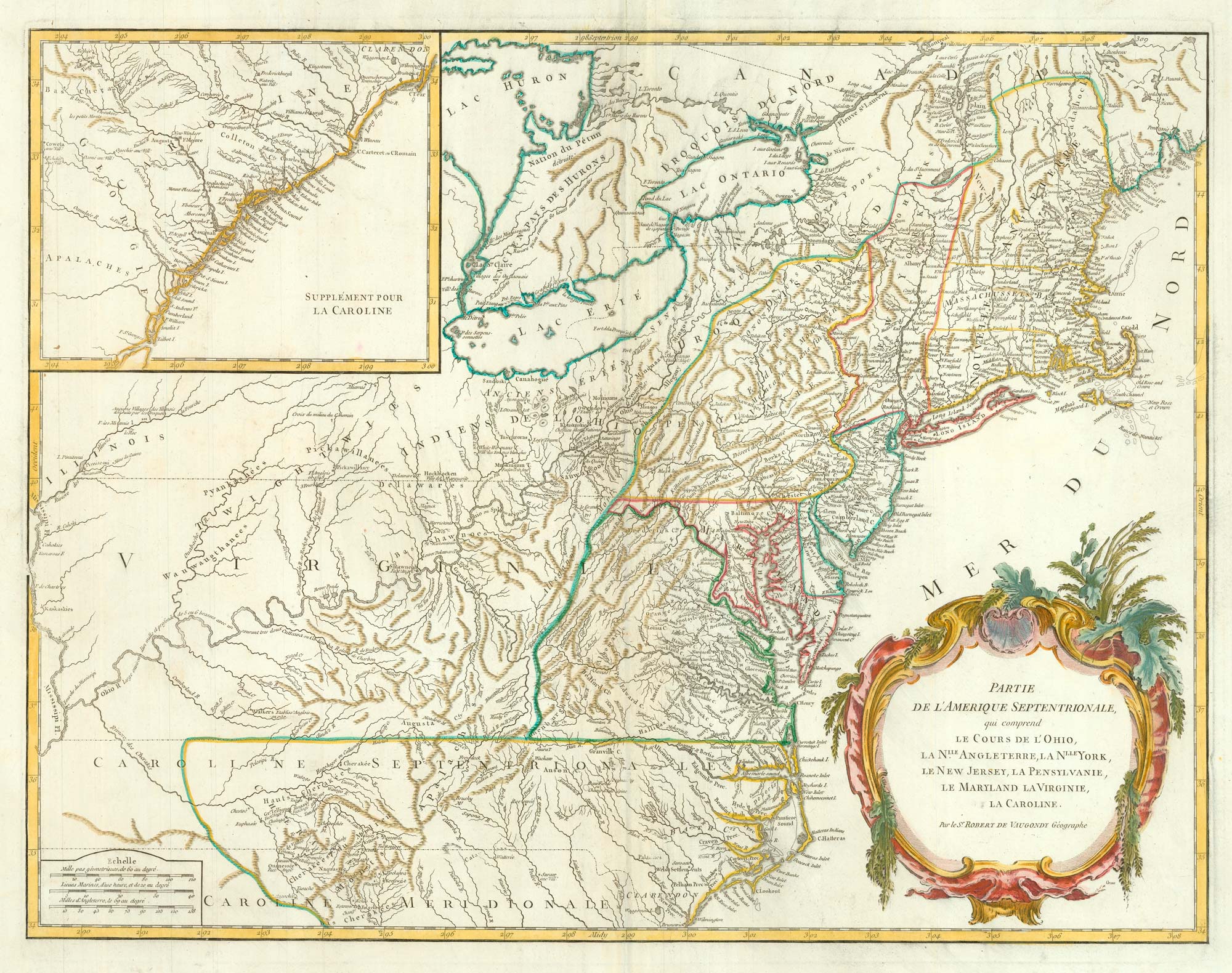
18th century map of the Eastern Seaboard
ROBERT DE VAUGONDY, Didier. Date: 1770 Stock #: 24555 £750.00
[ti_wishlists_addtowishlist]
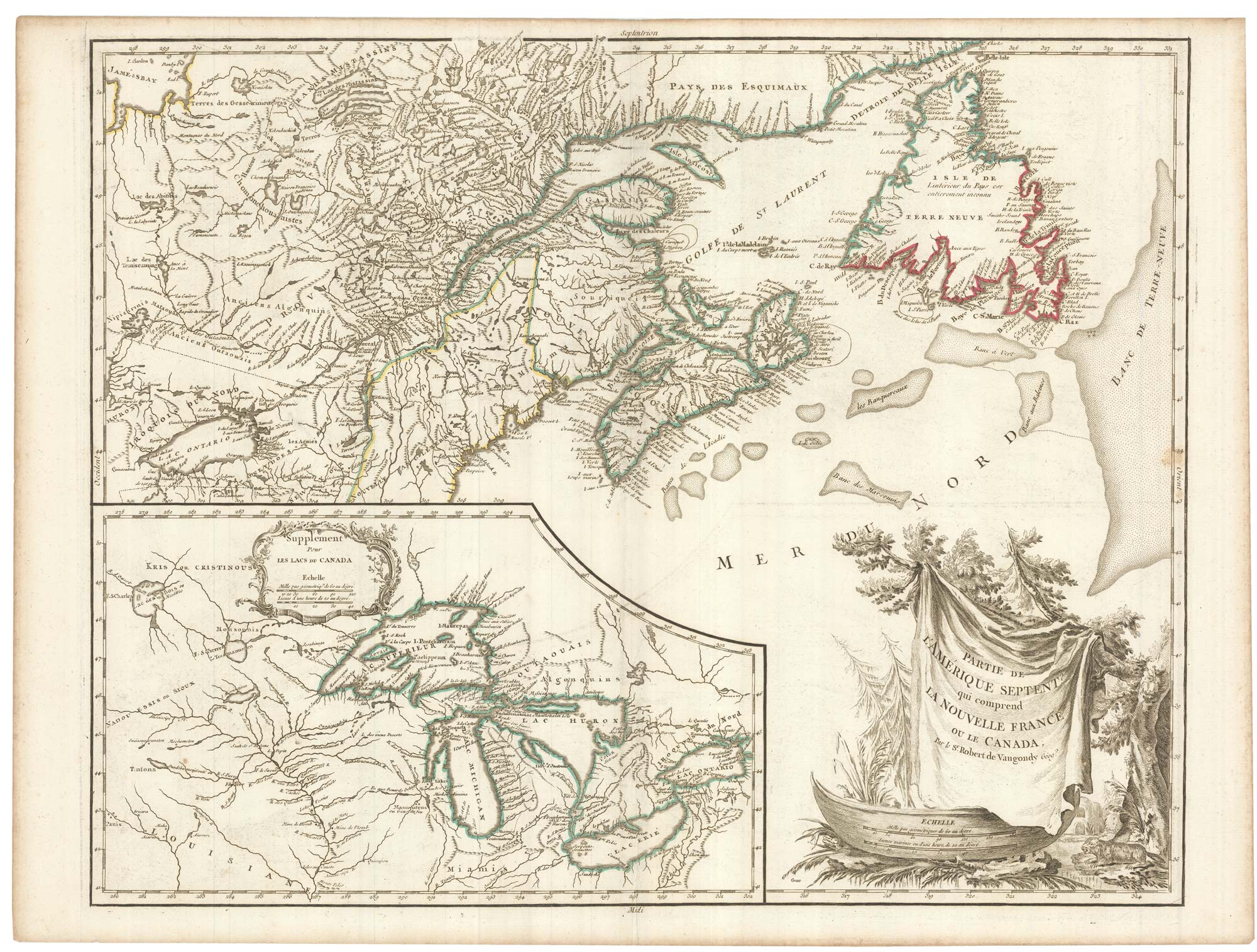
A late 18th century map of Canada and the Great Lakes
ROBERT DE VAUGONDY, Didier. Date: 1793 Stock #: 23279 £550.00
[ti_wishlists_addtowishlist]