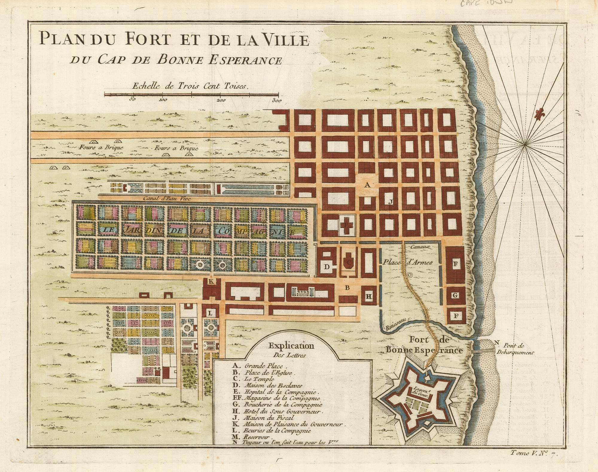


The Dutch Fort at Capetown
Plan du Fort et de la Ville du Cap de Bonne Esperance.
Paris, c.1748. Coloured. 225 x 280mm.
£160.00
Description
An early plan of Capetown, with a 13-point key, marking the defences of the Dutch Fort. From Prevost's 'Histoire générale des Voyages'.
Condition:
A good example.Related products
-
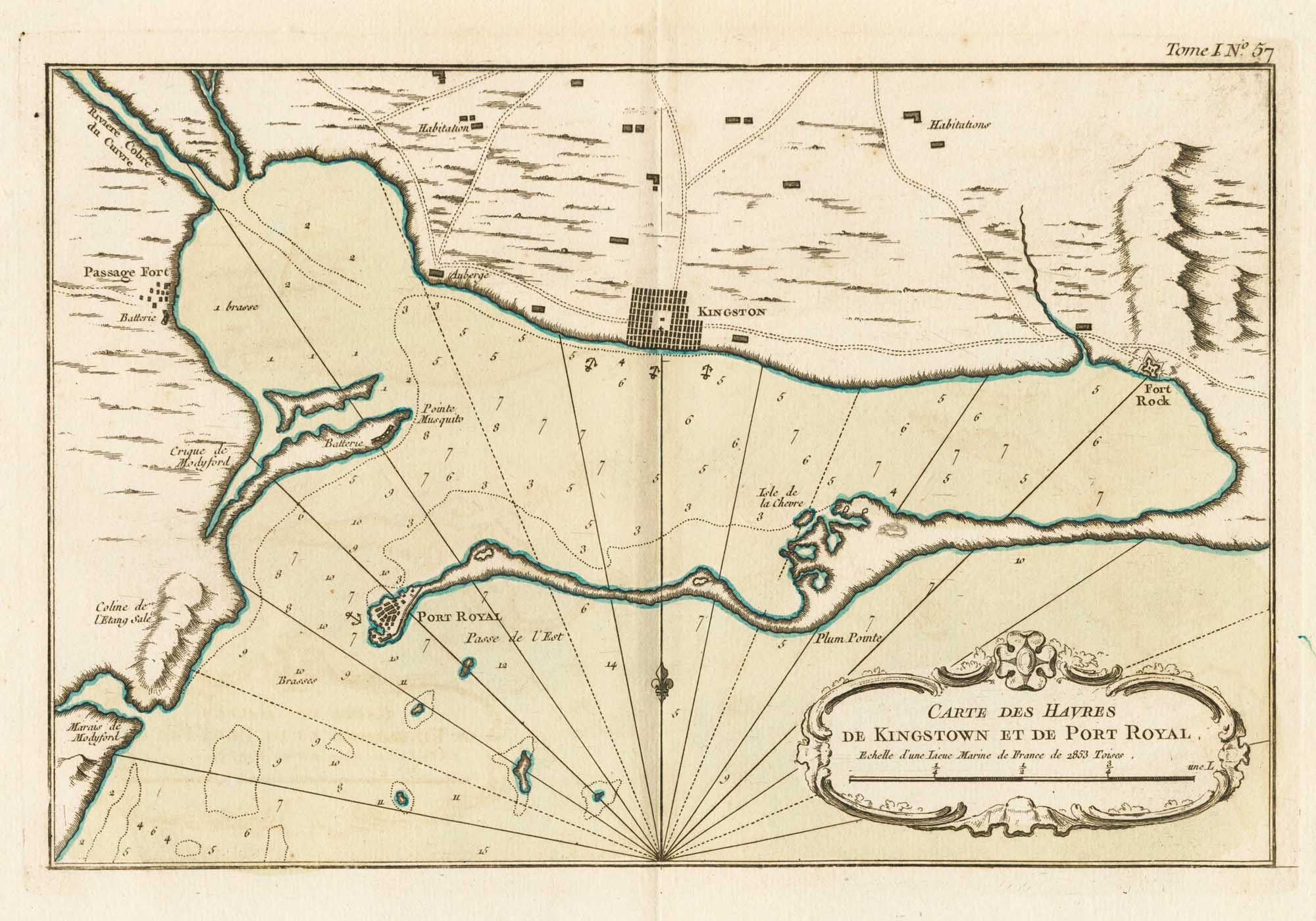
18th century vue d’optique of the Cape of Good Hope
RIEDEL, Gottlieb Friedrich. Date: 1780Stock #: 23736 £600.00 -
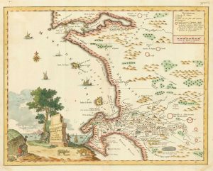
18th century Italian map of the Cape of Good Hope
ALBRIZZI, Giovanni Battista. Date: 1740Stock #: 19893 £390.00 -
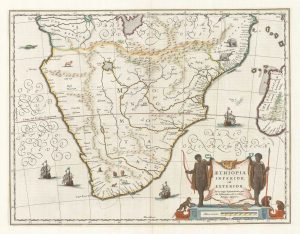
17th century map of Southern Africa
BLAEU, Willem Janszoon. Date: 1665Stock #: 17998 £765.00 -
An 18th century map of Africa below the Equator
CHATELAIN, Henri Abraham. Date: 1720Stock #: 22880 £380.00 -
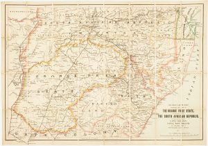
Map of the Orange Free State published the day before the start of the Second Boer War
STANFORD, Edward. Date: 1899Stock #: 15864 £375.00 -

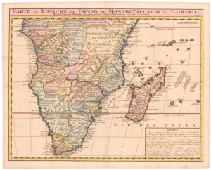
A decorative map of South Africa
BRION DE LA TOUR, Louis. Date: 1786Stock #: 19597 £165.00 -
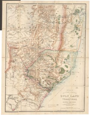
A contemporary military folding map for the Anglo-Zulu War of 1879.
WYLD, James. Date: 1879Stock #: 22989 £650.00 -
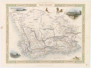
Map of Cape Colony with vignettes
TALLIS, John. Date: 1851Stock #: 18542 £150.00 -
Mid-18th century map of the Cape of Good Hope
SALMON, Thomas. Date: 1745Stock #: 20025 £260.00
Items by the same author
[ti_wishlists_addtowishlist]
[ti_wishlists_addtowishlist]
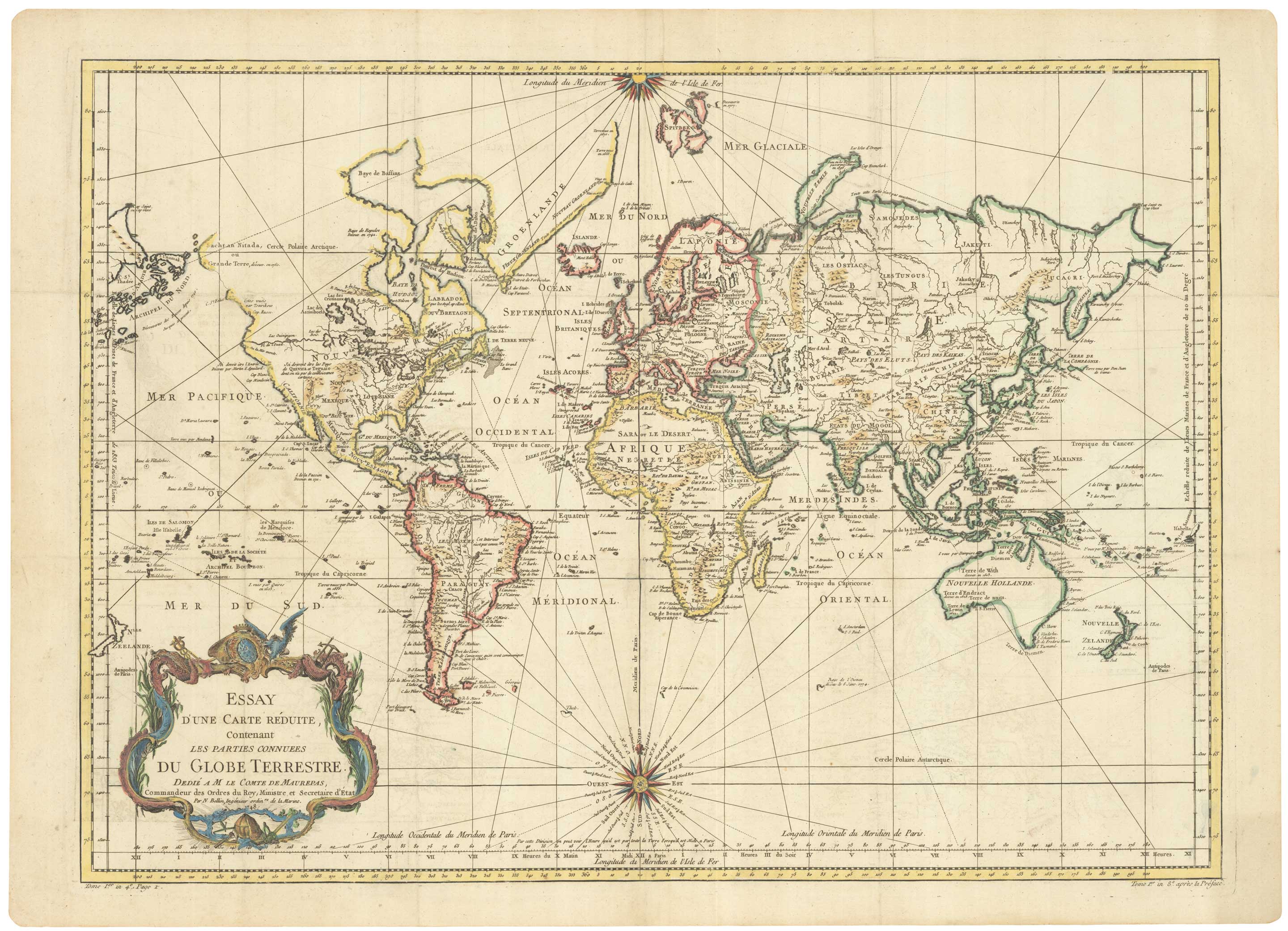
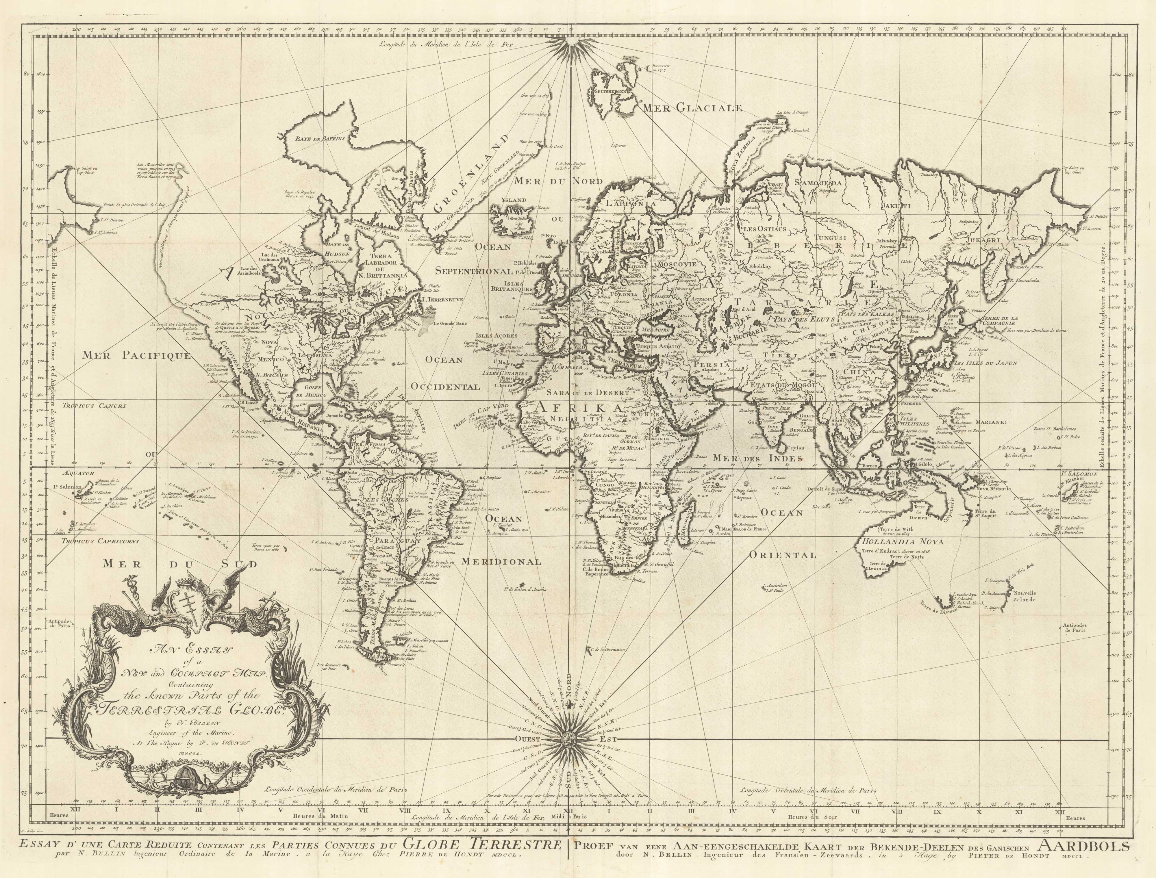
A large sea chart of the World on Mercator's Projection
BELLIN, Jacques-Nicolas. Date: 1775 Stock #: 25116 £1,600.00
[ti_wishlists_addtowishlist]
18th century nautical chart on Mercator's Projection
BELLIN, Jacques-Nicolas. Date: 1750 Stock #: 25151 £1,600.00
[ti_wishlists_addtowishlist]
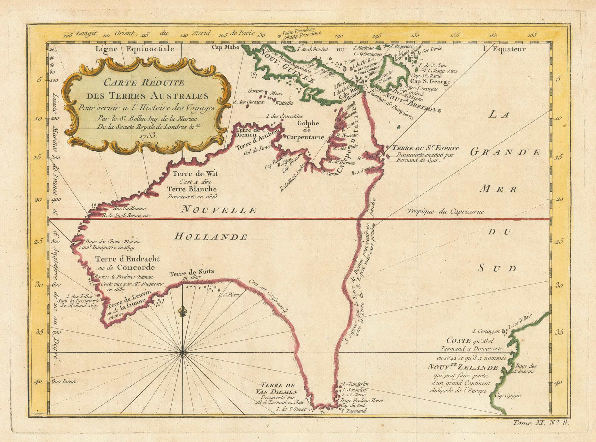
A pre-Cook discoveries map of Australia
BELLIN, Jacques-Nicolas. Date: 1753 Stock #: 25052 £1,000.00
[ti_wishlists_addtowishlist]
[ti_wishlists_addtowishlist]