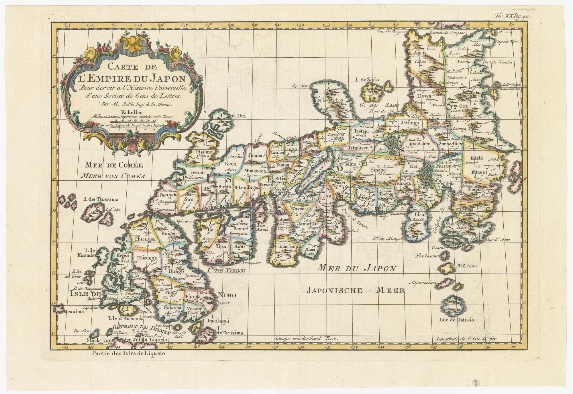


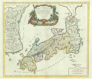
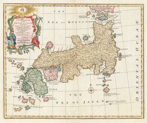
18th century map of Japan
Carte de L'Empire du Japon.
Paris, c.1752. Coloured. 220 x 320mm.
£320.00
Description
Map of Japan showing provinces, islands, towns, mountains, rivers,etc. From Prevost's 'Histoire Générale des Voyages'.
Condition:
A good example.Related products
-
A Jesuit missionary’s contribution to the mapping of Japan
CARDIM, Antonio Francisco. Date: 1646Stock #: 24221 £6,000.00 -
17th century miniature map of Japan
DU VAL, Pierre. Date: 1690Stock #: 24849 £380.00 -
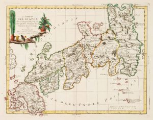
An 18th century Italian map of Japan
ZATTA, Antonio. Date: 1785Stock #: 17390 £450.00 -
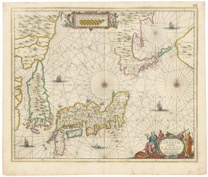
A fine early sea chart of Japan
JANSSON, Jan. Date: 1658Stock #: 22584 £1,800.00 -
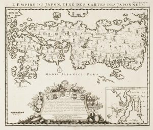
An early 18th century map of Japan
CHATELAIN, Henri Abraham. Date: 1719Stock #: 17371 £1,200.00 -
18th century map of Japan
SANTINI, Francesco & Paolo. Date: 1778Stock #: 9315 £500.00 -
18th century English map of Japan
BOWEN, Emanuel. Date: 1747Stock #: 17975 £900.00 -
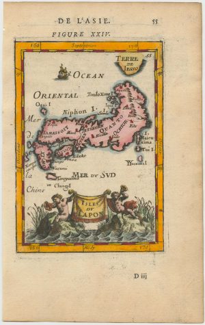
17th century miniature map of Japan
MALLET, Alain Manesson. Date: 1683Stock #: 24704 £275.00 -
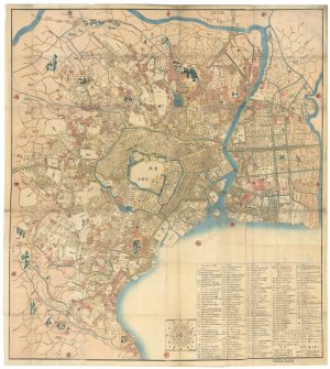
A Japanese woodblock wall map of Edo
TAKAI RANZAN. Date: 1859Stock #: 23071 £4,500.00
Items by the same author
[ti_wishlists_addtowishlist]
[ti_wishlists_addtowishlist]
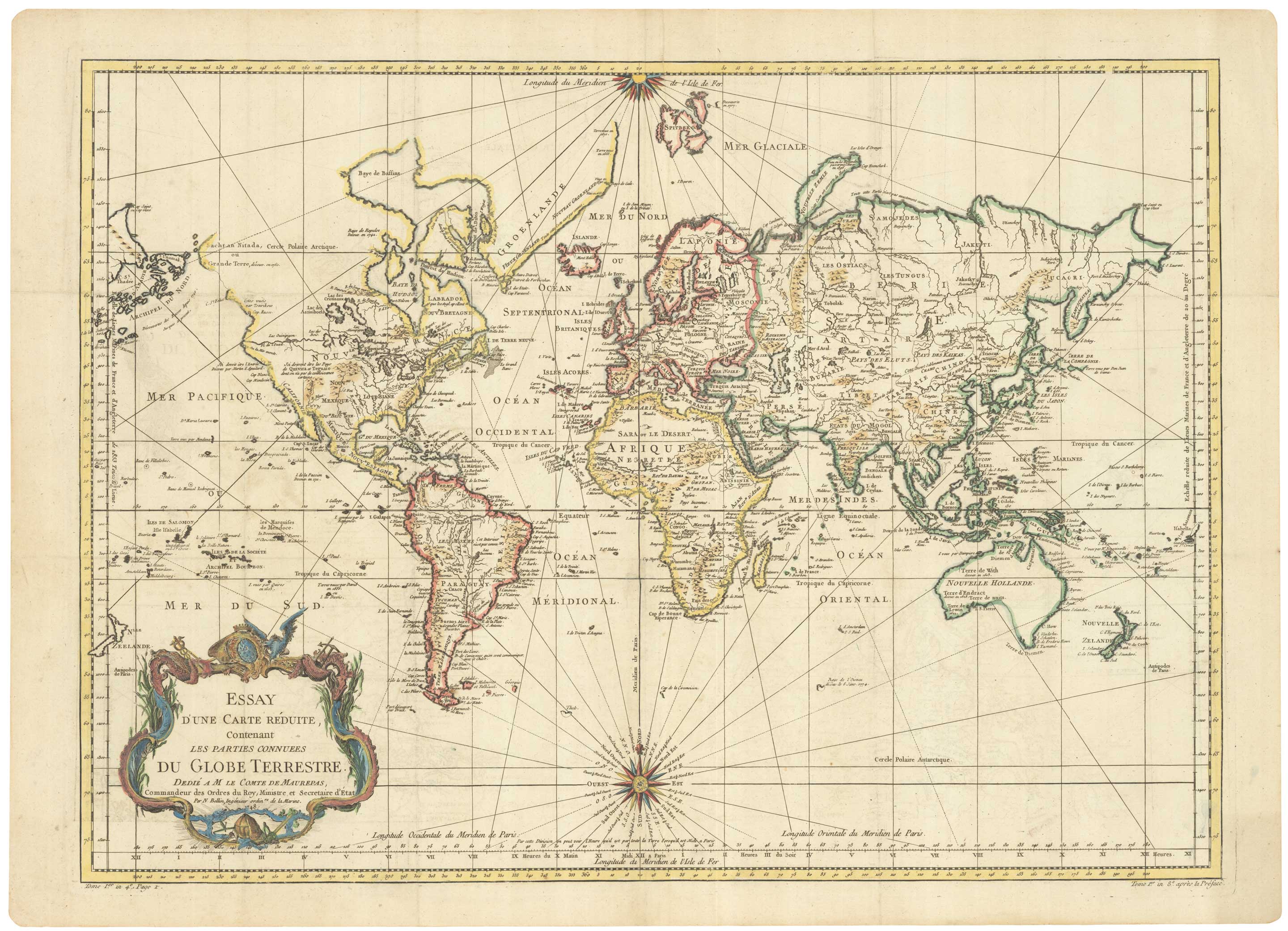
A large sea chart of the World on Mercator's Projection
BELLIN, Jacques-Nicolas. Date: 1775 Stock #: 25116 £1,600.00
[ti_wishlists_addtowishlist]
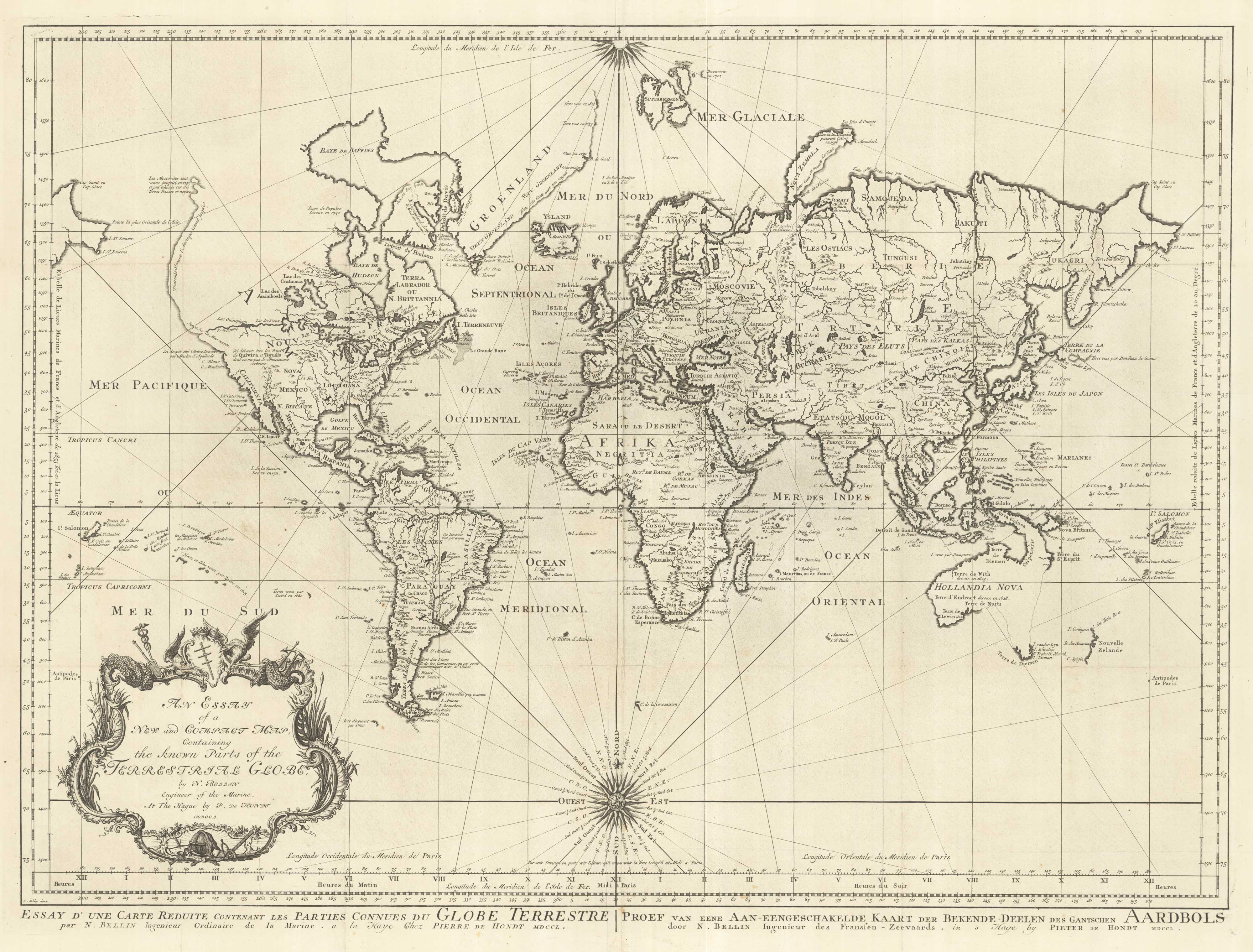
18th century nautical chart on Mercator's Projection
BELLIN, Jacques-Nicolas. Date: 1750 Stock #: 25151 £1,600.00
[ti_wishlists_addtowishlist]
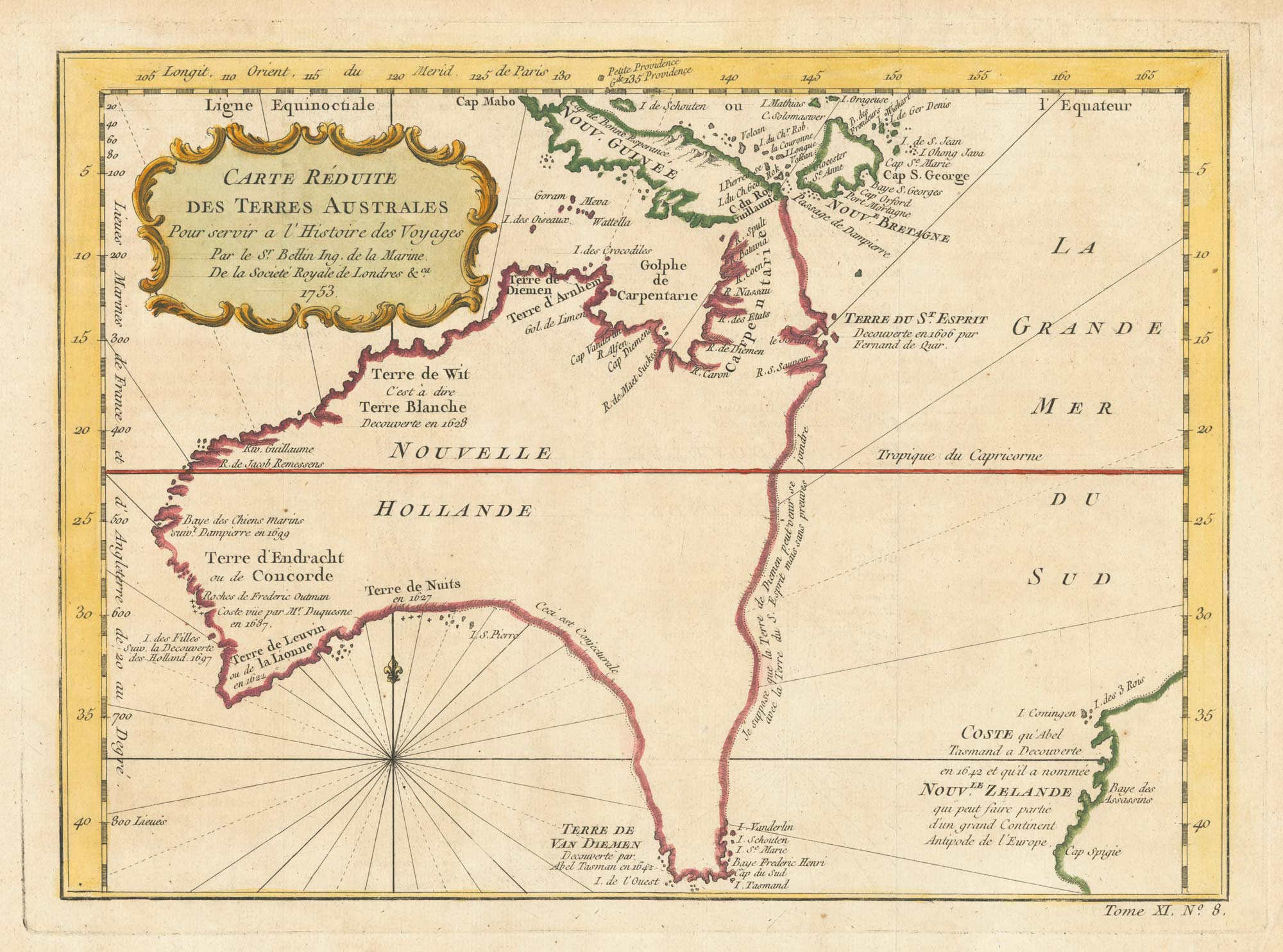
A pre-Cook discoveries map of Australia
BELLIN, Jacques-Nicolas. Date: 1753 Stock #: 25052 £1,000.00
[ti_wishlists_addtowishlist]
[ti_wishlists_addtowishlist]