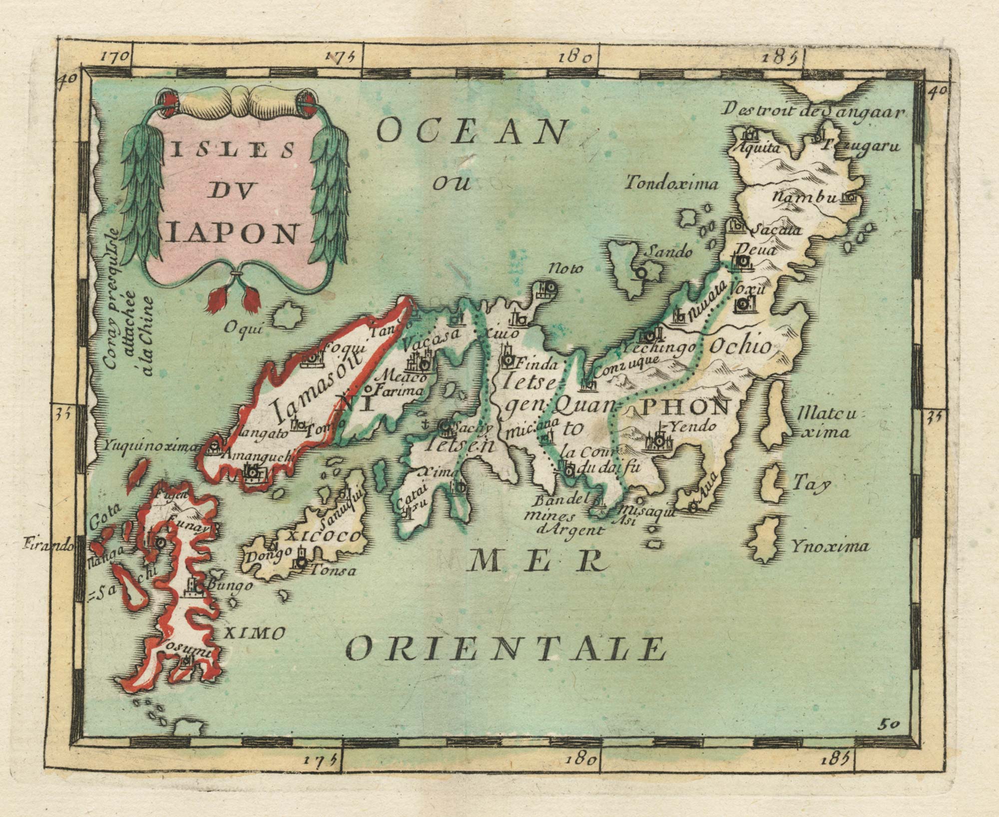


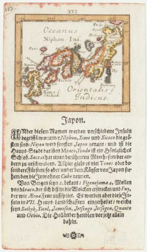
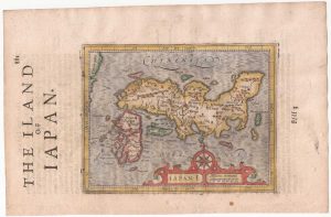
17th century miniature map of Japan
Isles du Japon.
Paris, c.1690. Original colour. 100 x 125mm.
£380.00
Description
A miniature map of Japan divided into its regions with principal town and cities marked. Published in Du Val's 'Géographie Universelle'.
Condition:
Hole at centre fold.References:
HUBBARD: Japan, 32, state 5 of 5.Related products
-
An important 18th century map of Japan
KAEMPFER, Engelbert. Date: 1727Stock #: 19726 £1,600.00 -
A Jesuit missionary’s contribution to the mapping of Japan
CARDIM, Antonio Francisco. Date: 1646Stock #: 24221 £6,000.00 -
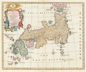
18th century English map of Japan
BOWEN, Emanuel. Date: 1747Stock #: 17975 £900.00 -
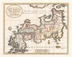
Uncommon miniature map of Japan
MULLER, Johann Ulrich. Date: 1692Stock #: 17994 £380.00 -
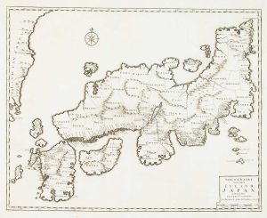
The first state of the Tirion-Albrizzi map of Japan
TIRION, Isaak. Date: 1734Stock #: 23413 £500.00 -
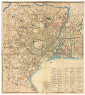
A Japanese woodblock wall map of Edo
TAKAI RANZAN. Date: 1859Stock #: 23071 £4,500.00 -
Japan from the first English Edition of the ‘Atlas Minor’
HONDIUS, Jodocus. Date: 1635Stock #: 22388 £300.00 -
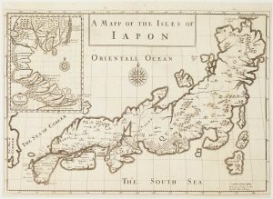
Pitt’s English edition of Tavernier’s map of Japan
TAVERNIER, Jean-Baptiste. Date: 1680Stock #: 17526 £3,000.00 -
Japan according to the Dutch East India Company
VALENTYN, François. Date: 1726Stock #: 16469 £1,250.00
Items by the same author
[ti_wishlists_addtowishlist]

Crete with a plan of Heraklion under siege by the Ottomans
DU VAL, Pierre. Date: 1677 Stock #: 24834 £550.00
[ti_wishlists_addtowishlist]
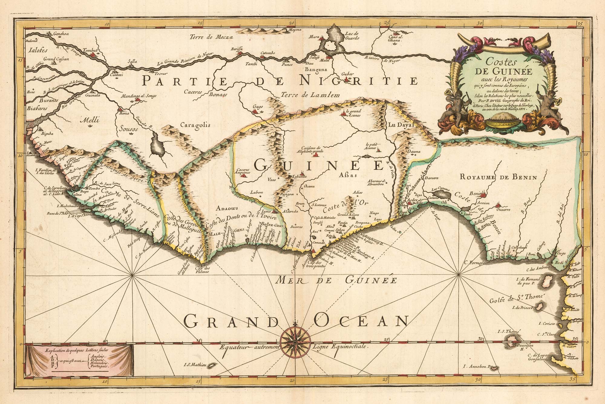
Du Val's folio map of the slave forts of the Gulf of Guinea
DU VAL, Pierre. Date: 1671 Stock #: 23256 £480.00
[ti_wishlists_addtowishlist]
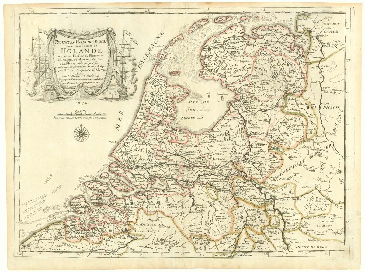
The Netherlands during the Anglo-Dutch War of 1672
DU VAL, Pierre. Date: 1672 Stock #: 20503 £900.00
[ti_wishlists_addtowishlist]
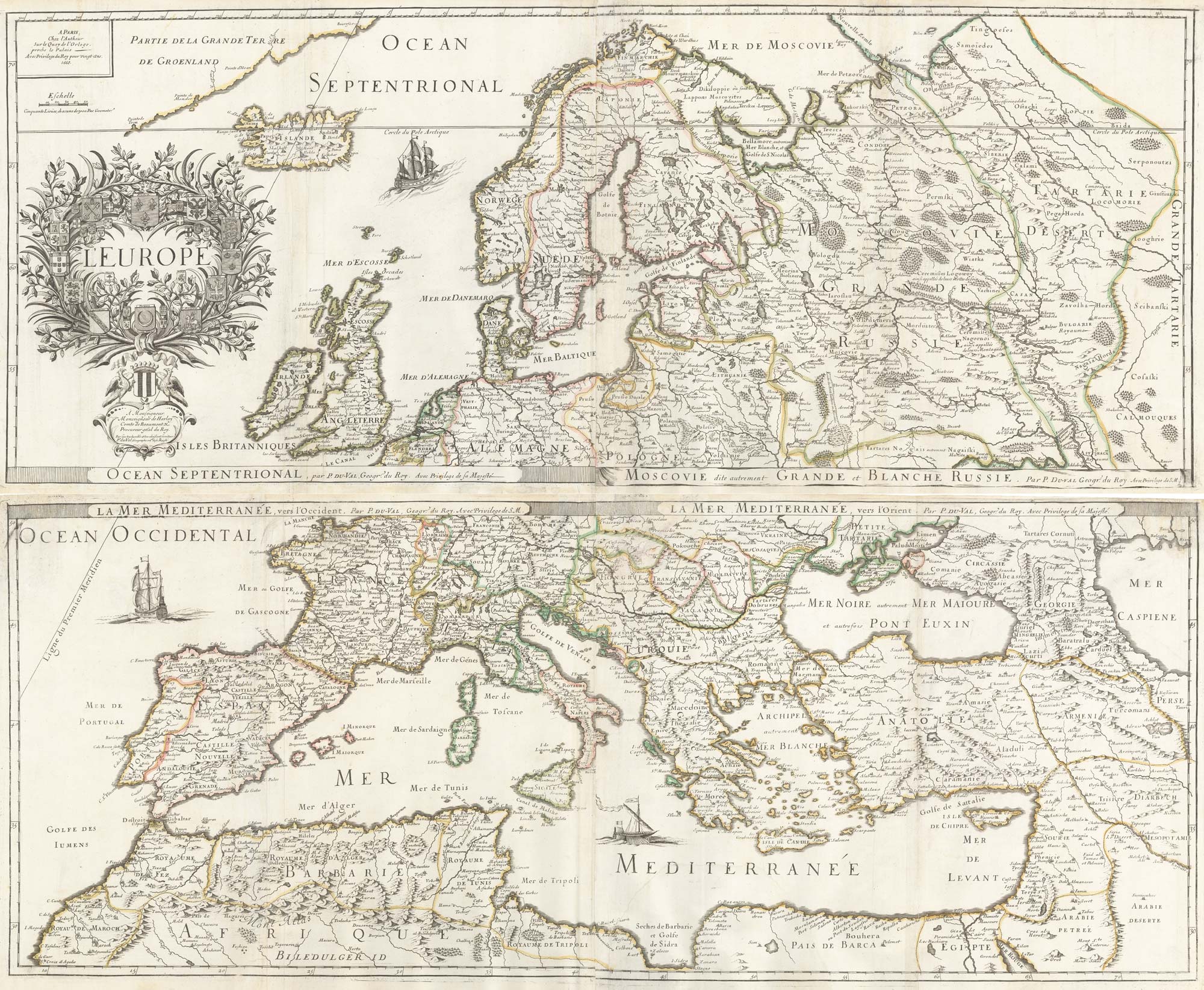
A 17th century wall map of Europe on four sheets
DU VAL, Pierre. Date: 1668 Stock #: 19780 £2,000.00
[ti_wishlists_addtowishlist]