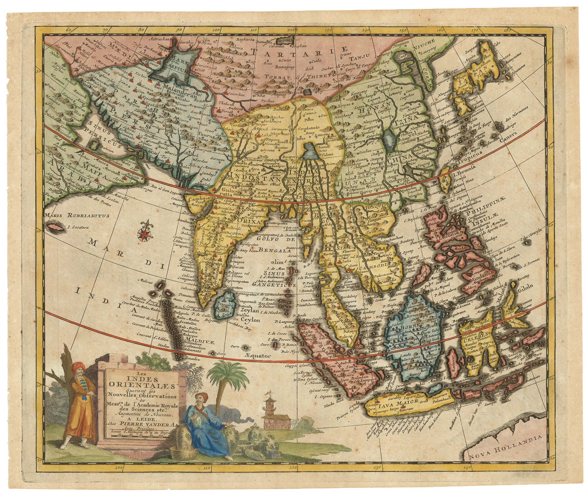


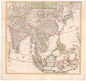
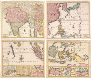
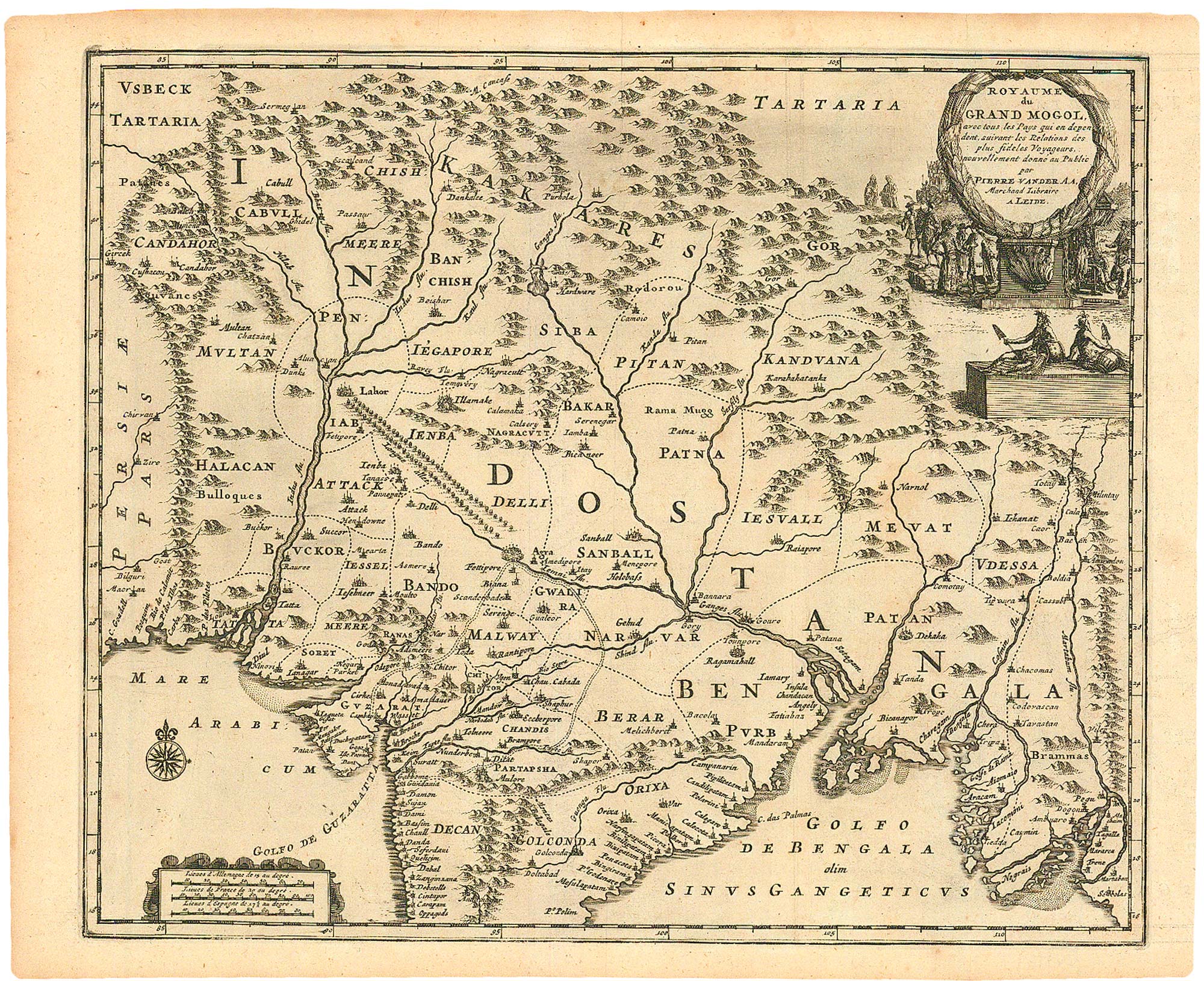
Early 18th century map of South East Asia
Les Indes Orientales Suivant les Nouvelles Observations de Mess.rs de l'Academie Royale des Sciences etc. Augmentées de nouveau.
Leiden, c.1719. Coloured. 290 x 350mm.
£400.00
1 in stock
x
Question About This Item?
Early 18th century map of South East Asia & AA, Pieter van der.Stock #: 21650Similar to Sell?
Description
Detailed map of southern Asia and the Far East, showing from the Persian Gulf to Japan, with India, Indochina, Indonesia, China, Korea and the Philippines.
Condition:
A good example.Related products
-
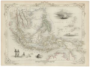
A mid-19th century map of the East Indies with decorative vignettes
TALLIS, John. Date: 1851Stock #: 21611 £240.00 -
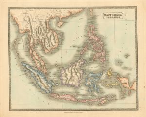
Mid 19th century map of the East India Islands
GELLATLY, John. Date: 1843Stock #: 19952 £175.00 -
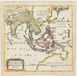
Early 18th century map of the East Indies
DELISLE, Guillaume. Date: 1705Stock #: 23907 £980.00 -
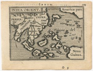
The scarce second Galle plate for the Far East used in the ‘Epitome’
ORTELIUS, Abraham. Date: 1598Stock #: 23197 £450.00 -
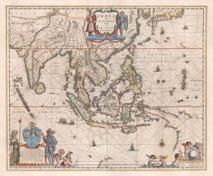
A 17th century map of the trading empire of the Dutch East India Company
BLAEU, Willem Janszoon. Date: 1650Stock #: 22918 £1,650.00 -
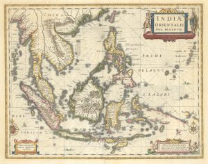
The East Indies with early evidence of the Dutch discovery of Australia
JANSSON, Jan. Date: 1807Stock #: 25082 £1,700.00 -
A striking four-sheet wall map of the Far East
OTTENS, Joachim. Date: 1792Stock #: 23571 £4,500.00 -
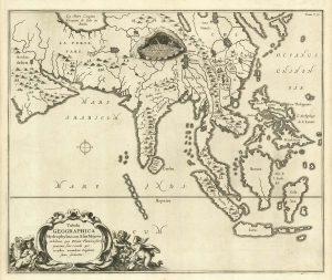
17th century miniature map of the East Indies
CLUVER, Philip. Date: 1659Stock #: 18843 £650.00 -
17th century map of the rivers of Asia
KIRCHER, Athanasius. Date: 1665Stock #: 20560 £975.00
Items by the same author
[ti_wishlists_addtowishlist]

A fine plan of Rome after Falda with exceptional colouring
AA, Pieter van der. Date: 1695 Stock #: 25236 £3,000.00
[ti_wishlists_addtowishlist]
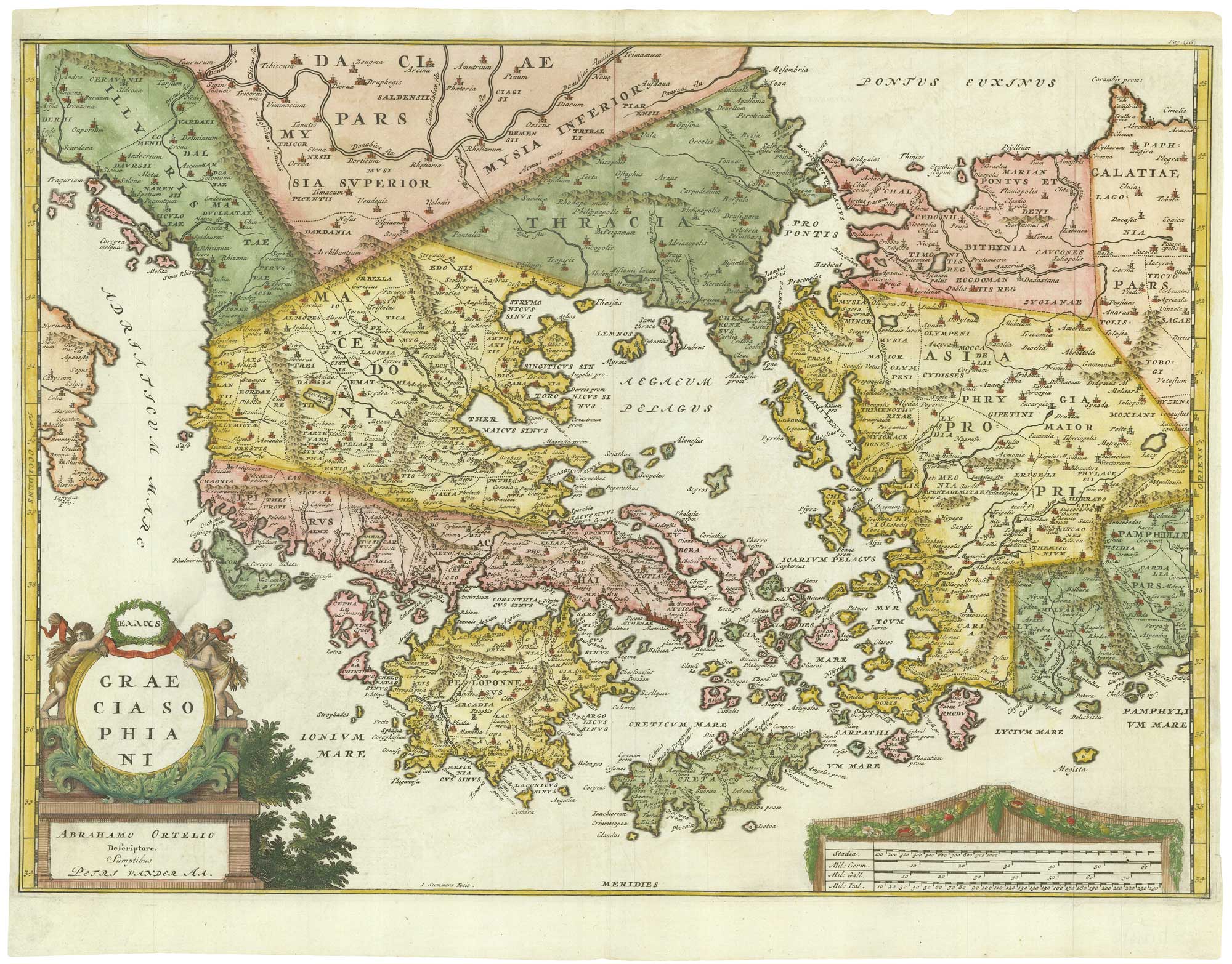
Early 18th century map of Ancient Greece after Ortelius
AA, Pieter van der. Date: 1712 Stock #: 21219 £400.00
[ti_wishlists_addtowishlist]
[ti_wishlists_addtowishlist]
[ti_wishlists_addtowishlist]
[ti_wishlists_addtowishlist]