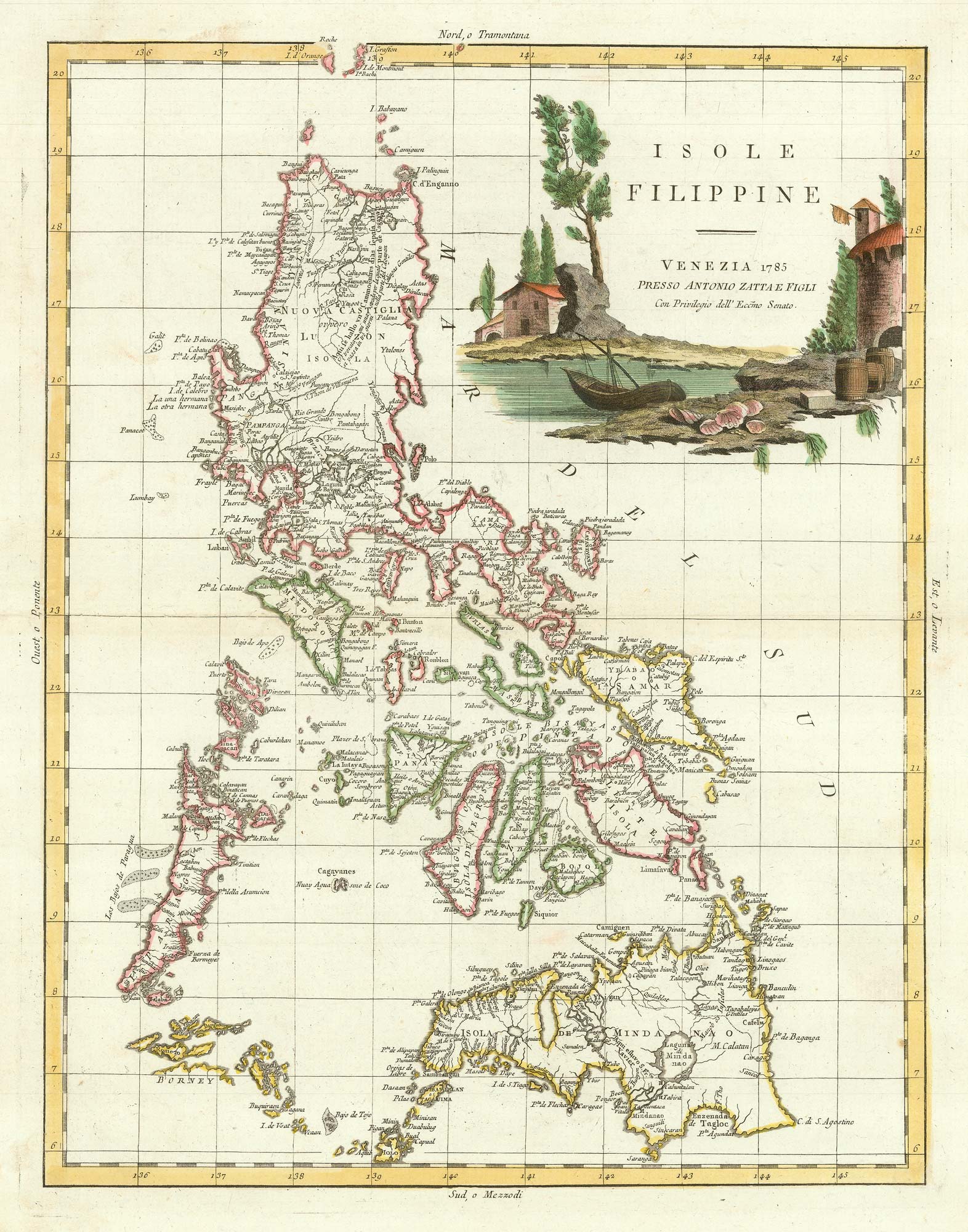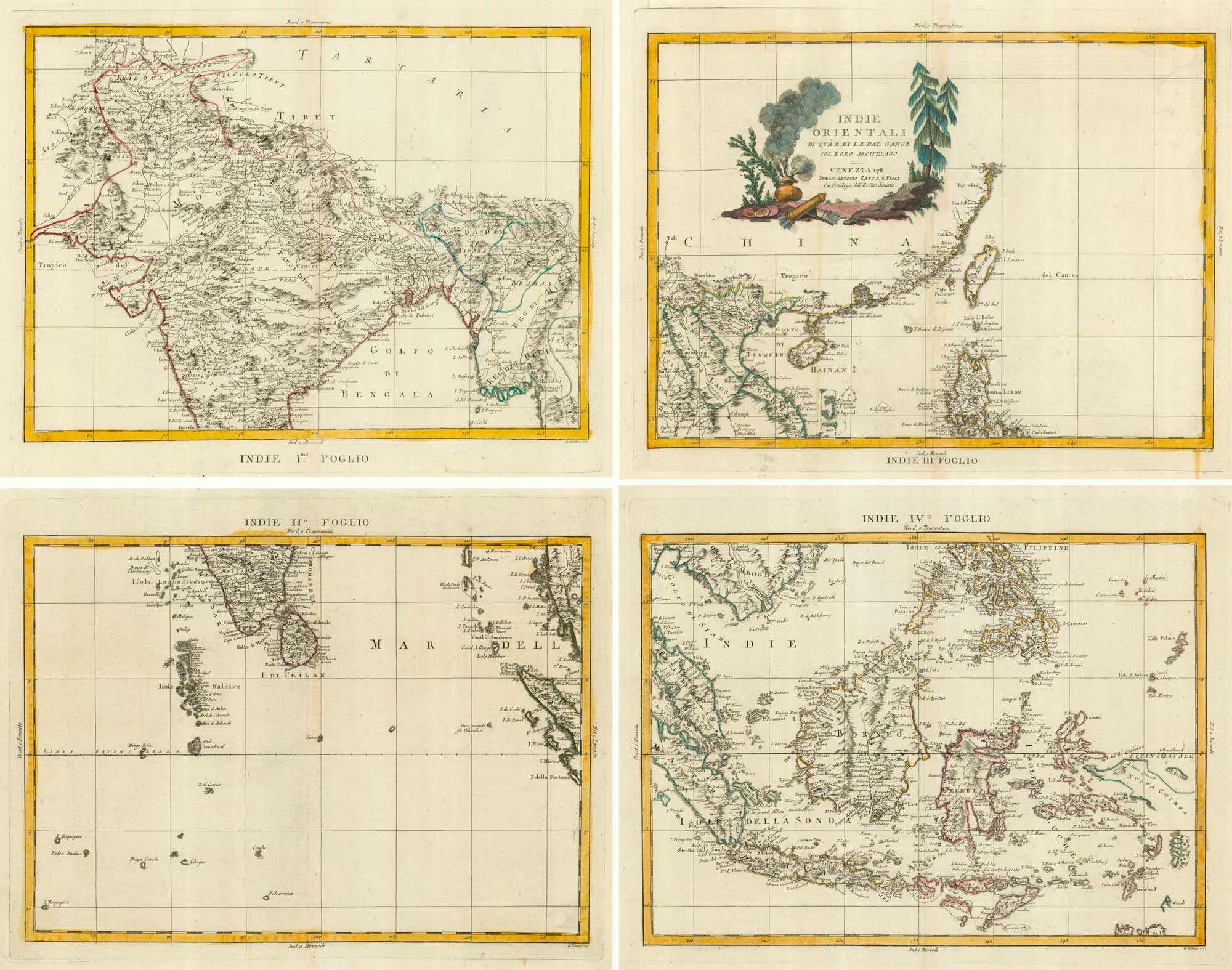


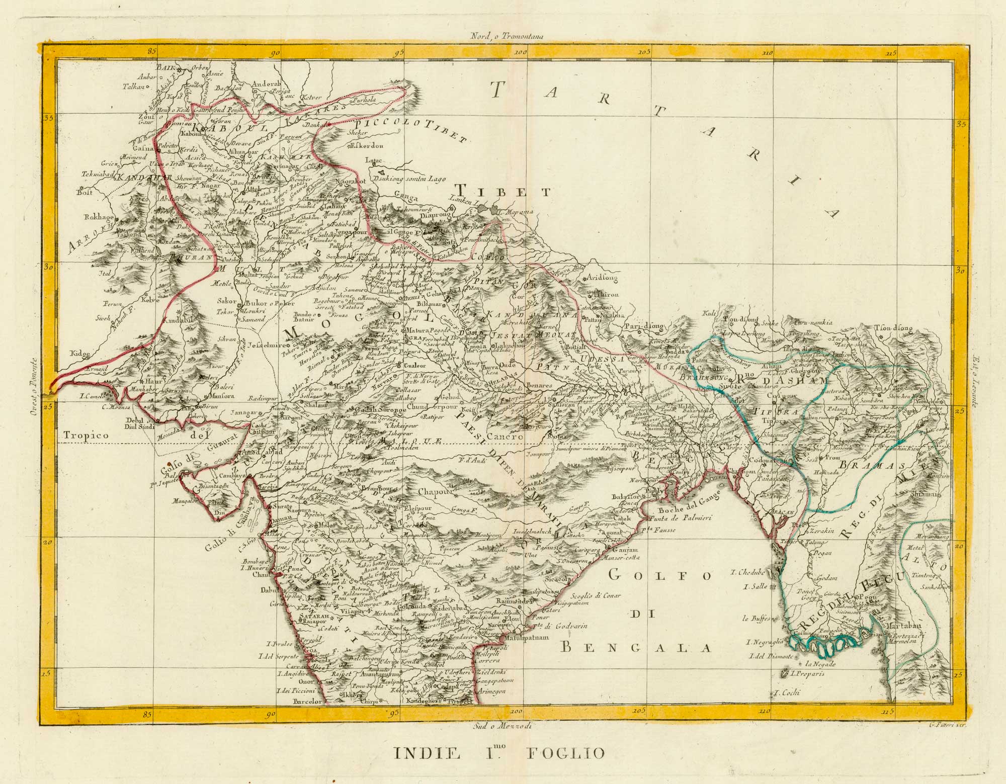
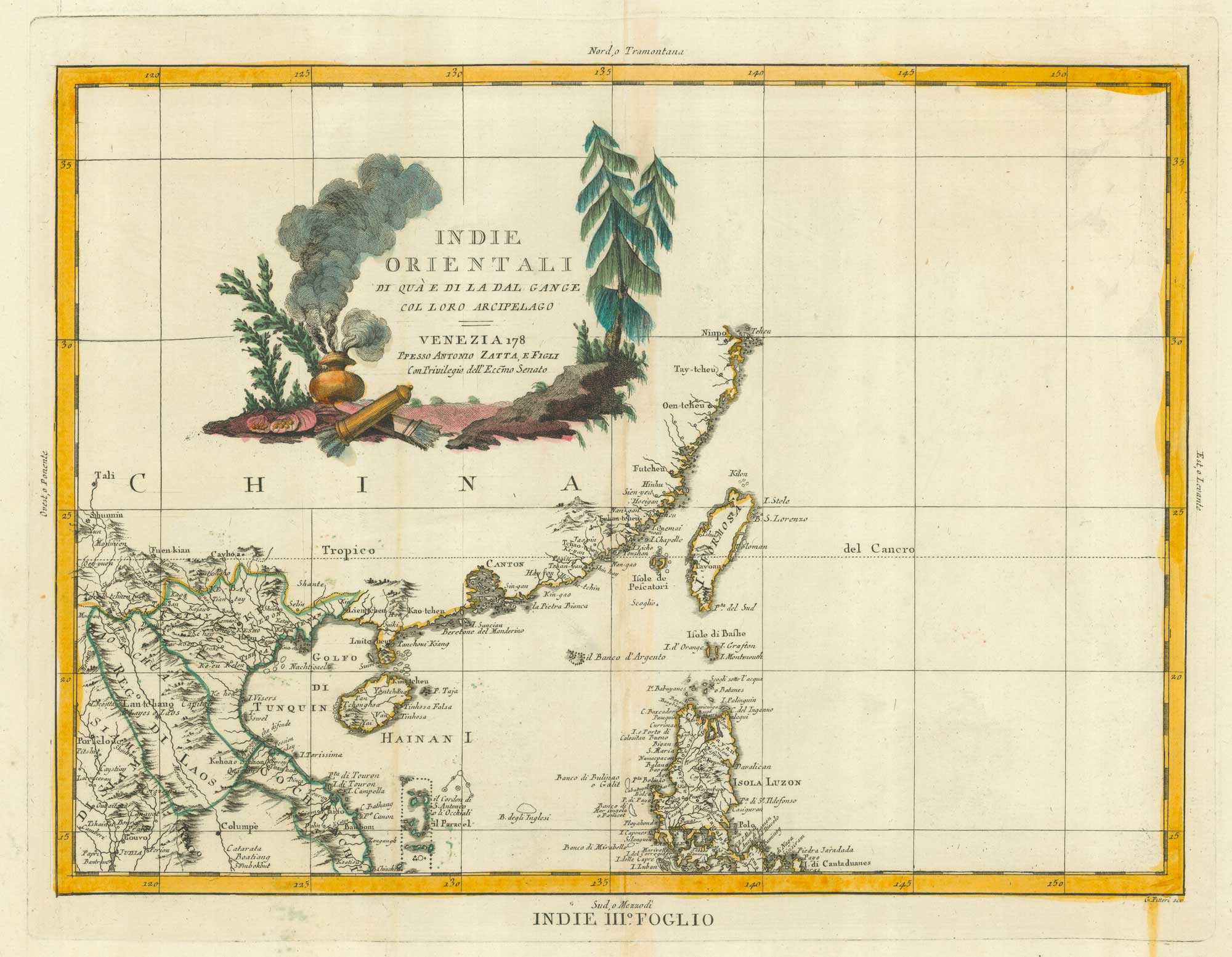
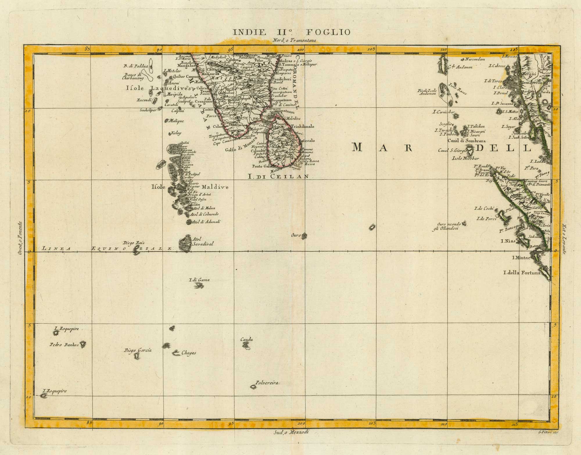
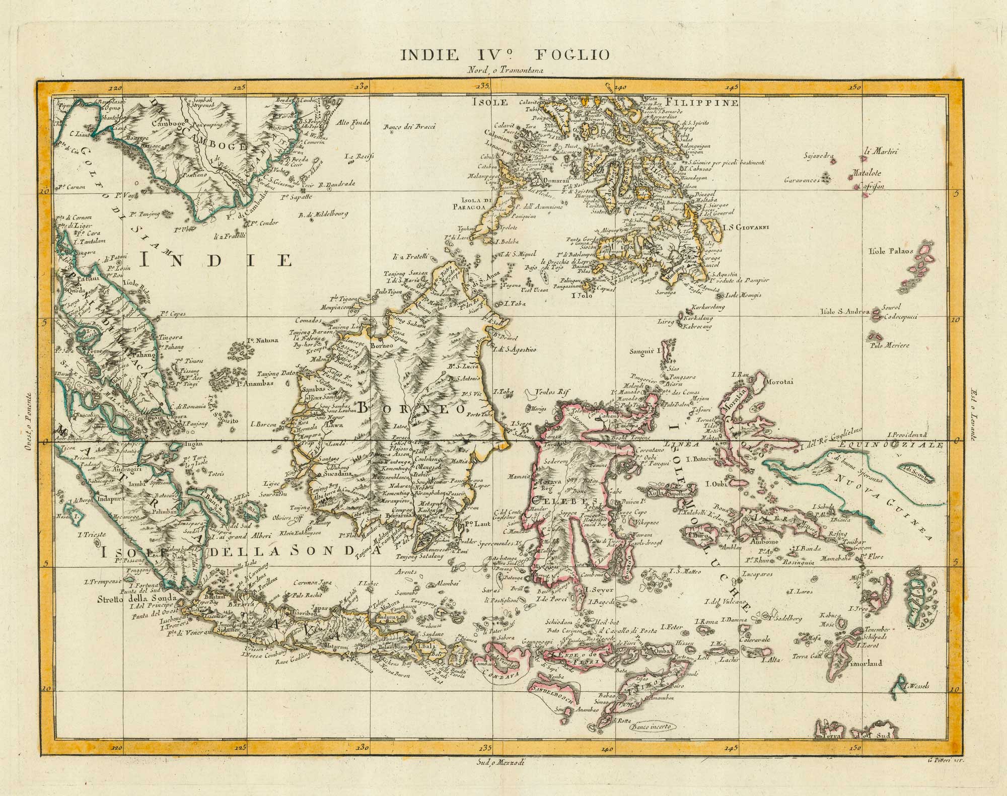
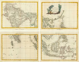
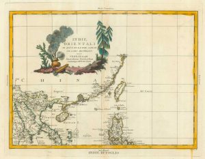
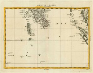
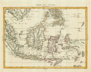
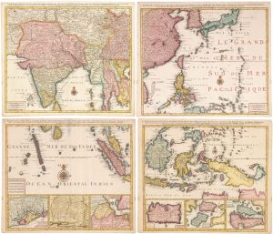
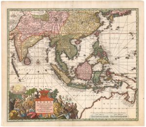
18th century four-sheet map of the East Indies
Indie Orientali di Quà e di la Dal Gange col Loro Arcipelago.
Venice, c.1784. Original colour. Four sheets, each 325 x 420mm.
£725.00
1 in stock
x
Question About This Item?
18th century four-sheet map of the East Indies & ZATTA, Antonio.Stock #: 9423Similar to Sell?
Description
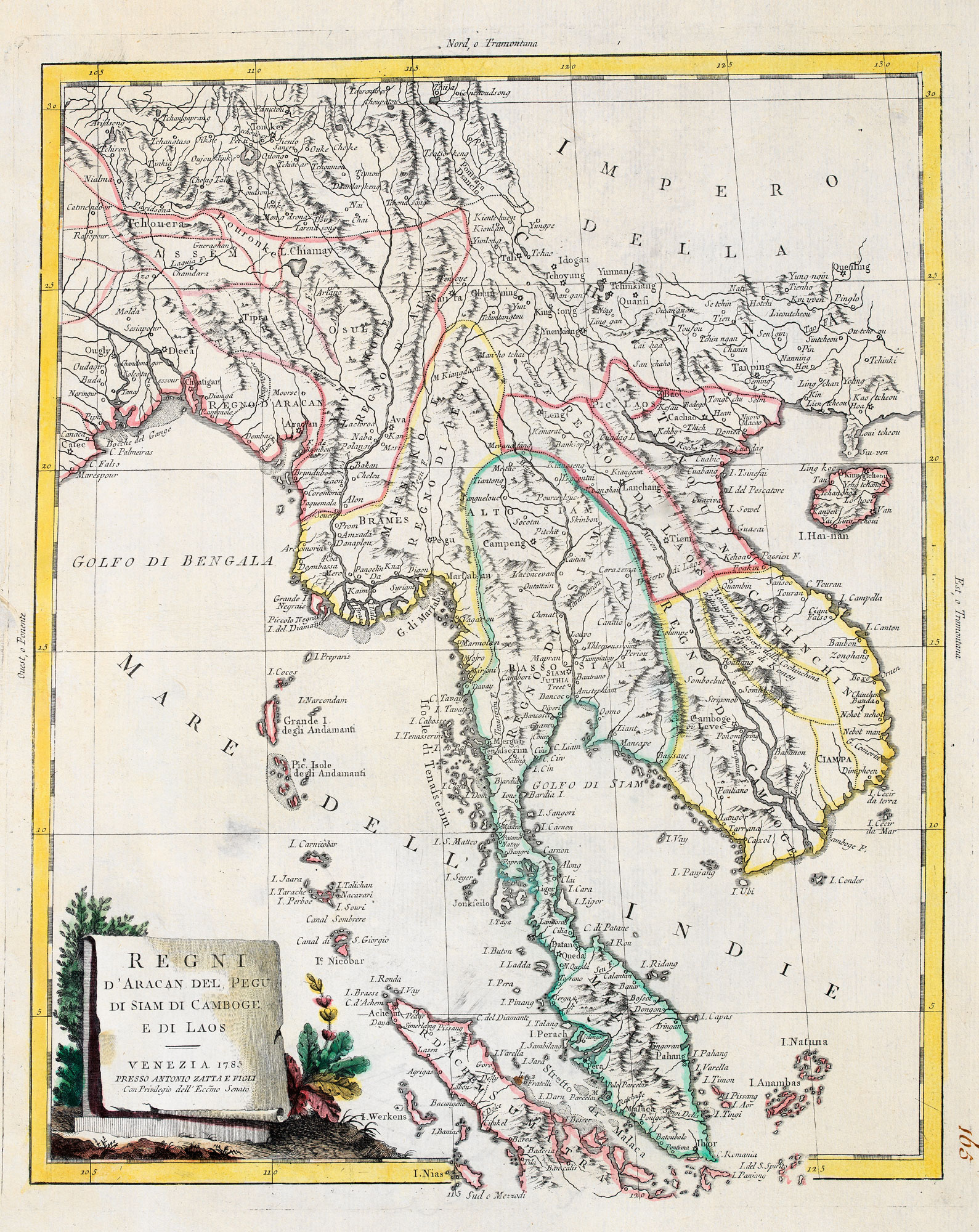
A four-sheet map of south-east Asia, showing Afghanistan, India and the Maldives in the west, Indochina, the Philippines and Indonesia in the east.
Condition:
A good example.Related products
-
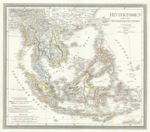
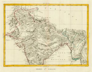
A mid-19th century map of the East Indies
WEILAND, Carl Ferdinand. Date: 1847Stock #: 21922 £240.00 -
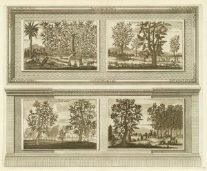
Illustrations of the flora and fauna of the East-Indies
AA, Pieter van der. Date: 1725Stock #: 20088 £200.00 -
A mid-17th century map of the Far East
MERIAN, Matthaus. Date: 1650Stock #: 22920 £700.00 -
A striking four-sheet wall map of the Far East
OTTENS, Joachim. Date: 1792Stock #: 23571 £4,500.00 -
The East Indies with early evidence of the Dutch discovery of Australia
JANSSON, Jan. Date: 1807Stock #: 25082 £1,700.00 -
The Far East, with an elaborate title cartouche
SEUTTER, Matthaus. Date: 1741Stock #: 18156 £1,400.00 -
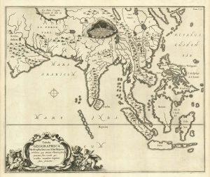
17th century map of the rivers of Asia
KIRCHER, Athanasius. Date: 1665Stock #: 20560 £975.00 -
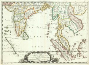
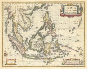
17th century map of the East Indies
SANSON, Nicolas. Date: 1658Stock #: 19813 £650.00 -
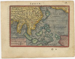
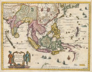
A 16th century miniature map of South East Asia
ORTELIUS, Abraham. Date: 1593Stock #: 24460 £350.00
Items by the same author
[ti_wishlists_addtowishlist]
[ti_wishlists_addtowishlist]
[ti_wishlists_addtowishlist]
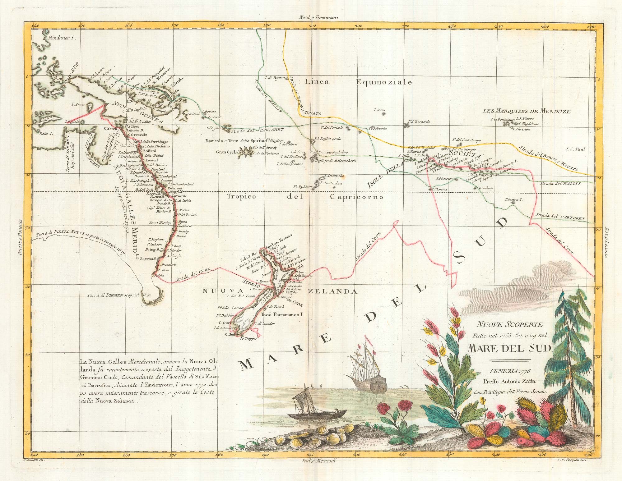
Map of Australia and New Zealand after Cook's First Voyage to the Pacific
ZATTA, Antonio. Date: 1776 Stock #: 24599 £1,000.00
[ti_wishlists_addtowishlist]
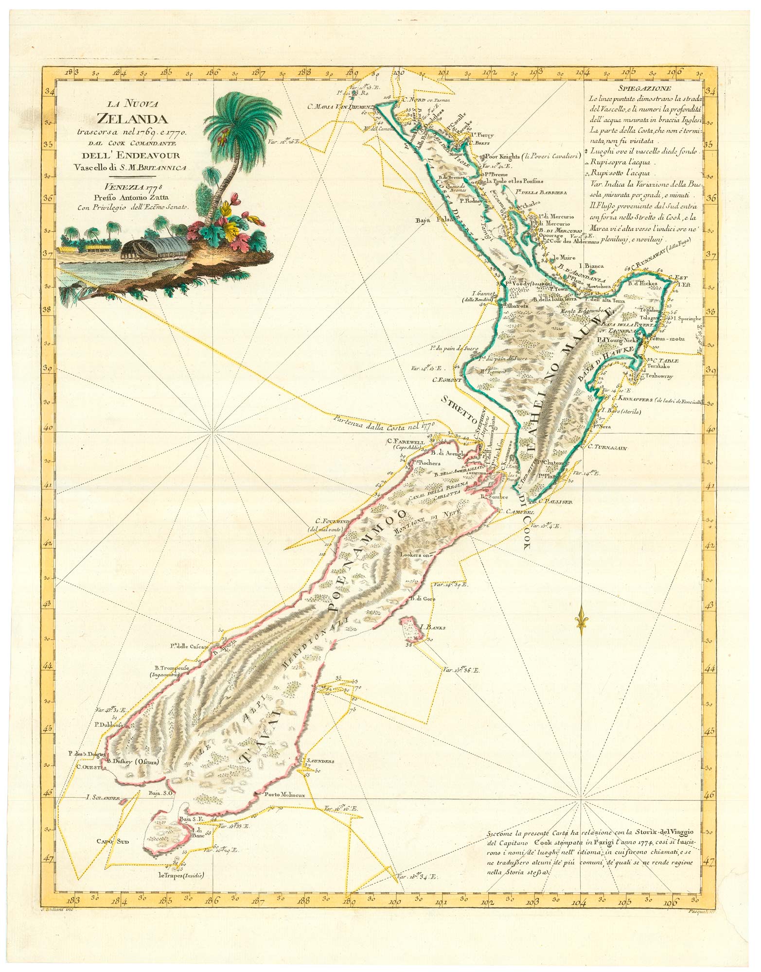
Zatta's important map showing Cook's charting of New Zealand
ZATTA, Antonio. Date: 1778 Stock #: 24601 £1,750.00
[ti_wishlists_addtowishlist]

[ti_wishlists_addtowishlist]