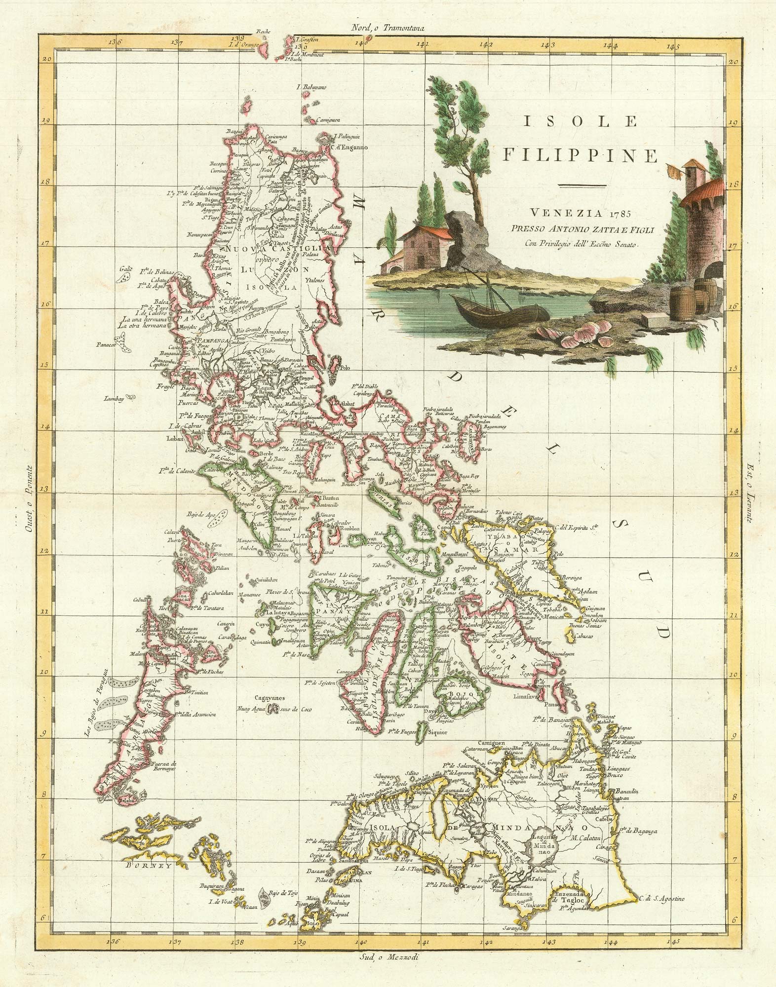


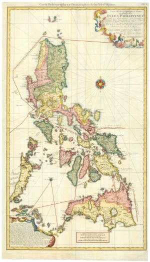
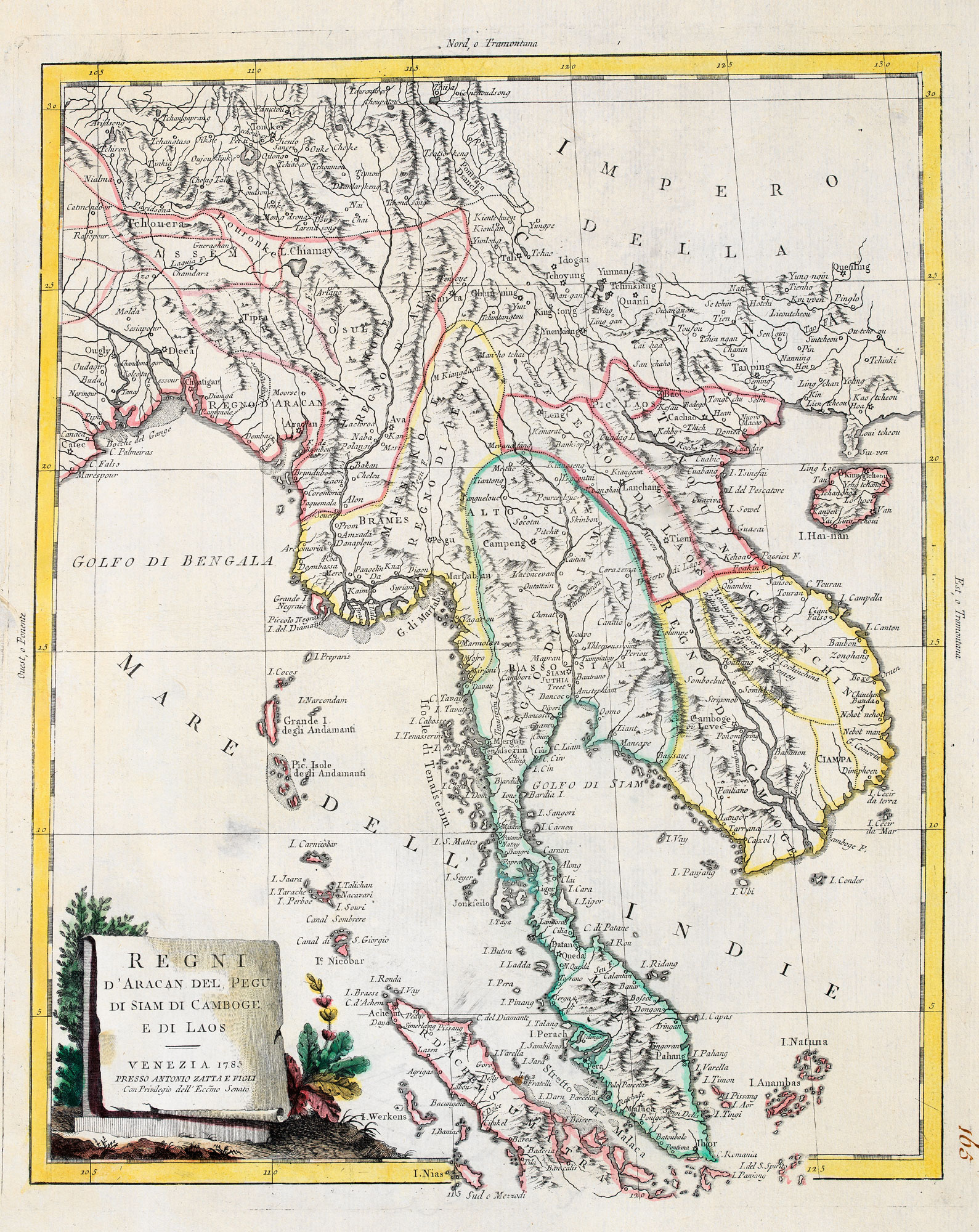
18th century Italian map of the Philippines
Isole Filippine.
Venice, 1785. Original outline colour. 410 x 320mm.
£1,650.00
1 in stock
x
Question About This Item?
18th century Italian map of the Philippines & ZATTA, Antonio.Stock #: 21225Similar to Sell?
Description
A decorative map of the Philippines, wth a large illustrated title cartouche in full colour. It was published in Zatta's famous atlas, the 'Altante Novissimo'.
Condition:
A good example.Related products
-
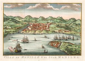
Dutch edition of Bellin’s view of Manila
BELLIN, Jacques-Nicolas. Date: 1756Stock #: 20177 £450.00 -
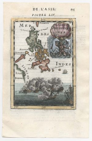
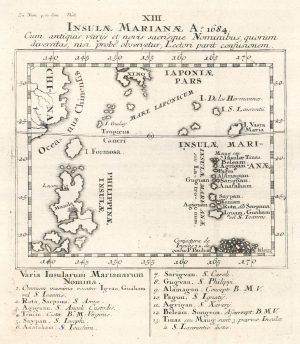
17th century miniature map of the Philippines
MALLET, Alain Manesson. Date: 1682Stock #: 22332 £450.00 -
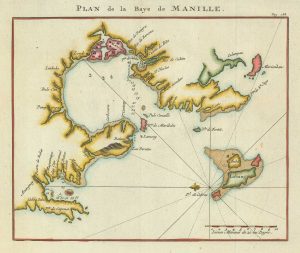
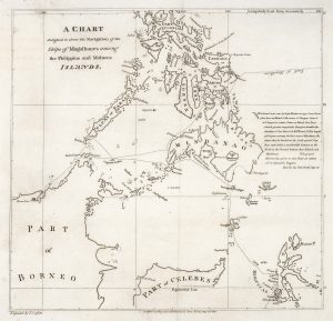
Admiral Anson’s plan of the Bay of Manila
ANSON, George. Date: 1750Stock #: 21190 £260.00 -
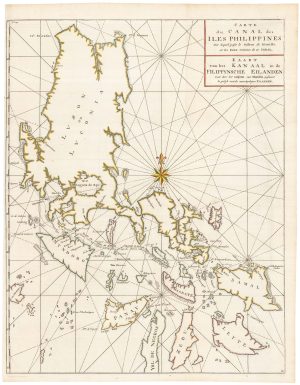
An 18th century map of the Philippines on two sheets
LOWITZ, Georg Moritz. Date: 1760Stock #: 25153 £5,500.00 -
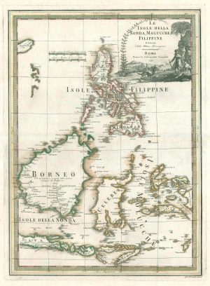
A scarce 18th century Italian map of the Philippines and Indonesia
CASSINI, Giovanni Maria. Date: 1797Stock #: 18460 £1,400.00 -
A scarce map of the Philippines
STOCKLEIN, Joseph. Date: 1740Stock #: 18773 £625.00 -
Magellan’s route through the Philippines
BURNEY, James. Date: 1803Stock #: 20895 £1,750.00 -
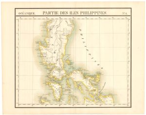
The ‘complete’ set of 6 maps of the Philippines
VANDERMAELEN, Philippe. Date: 1827Stock #: 21698 £2,000.00 -
An unusual variant of Anson’s chart of the Philippines
ANSON, George. Date: 1750Stock #: 22306 £750.00
Items by the same author
[ti_wishlists_addtowishlist]
[ti_wishlists_addtowishlist]
[ti_wishlists_addtowishlist]
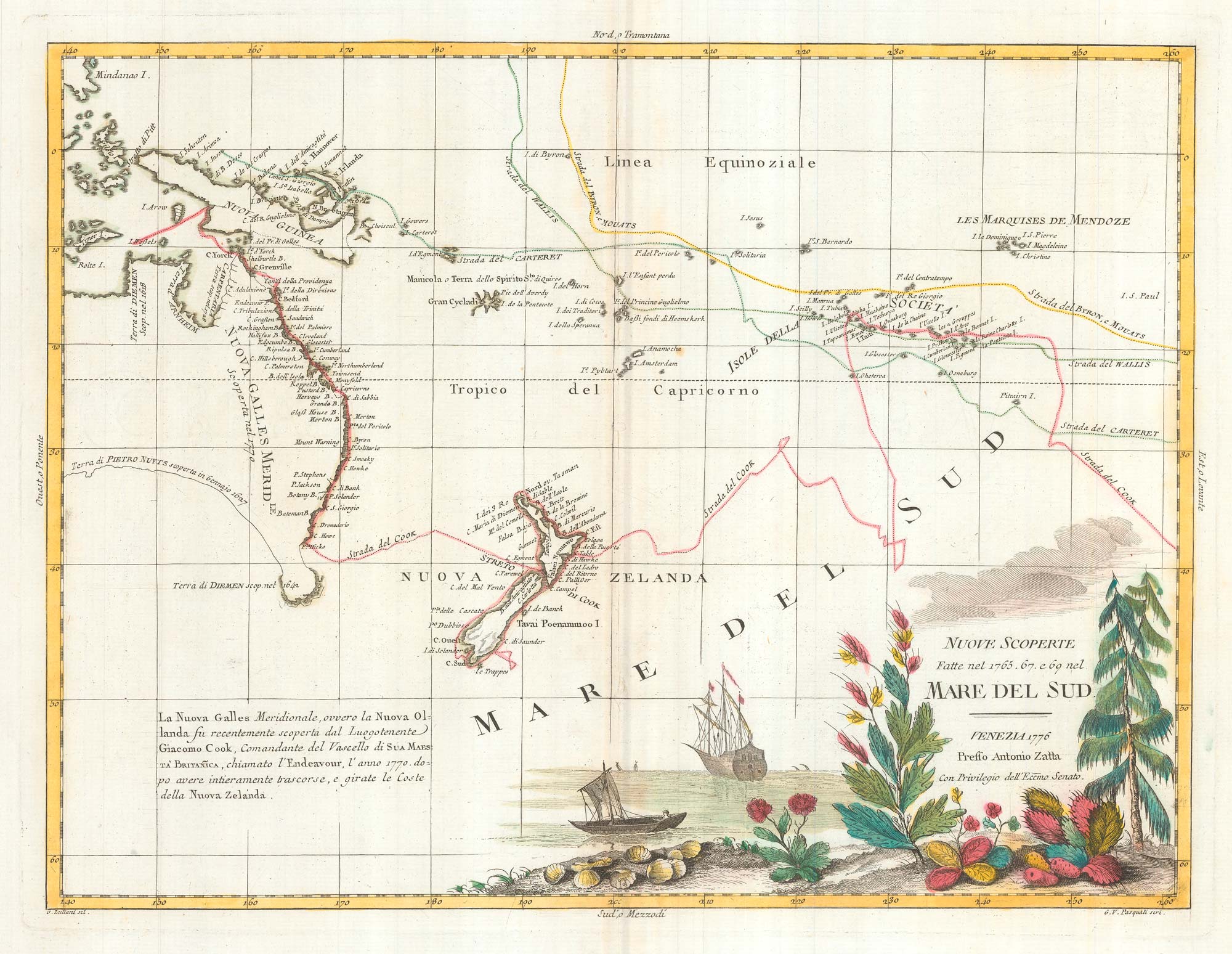
Map of Australia and New Zealand after Cook's First Voyage to the Pacific
ZATTA, Antonio. Date: 1776 Stock #: 24599 £1,000.00
[ti_wishlists_addtowishlist]
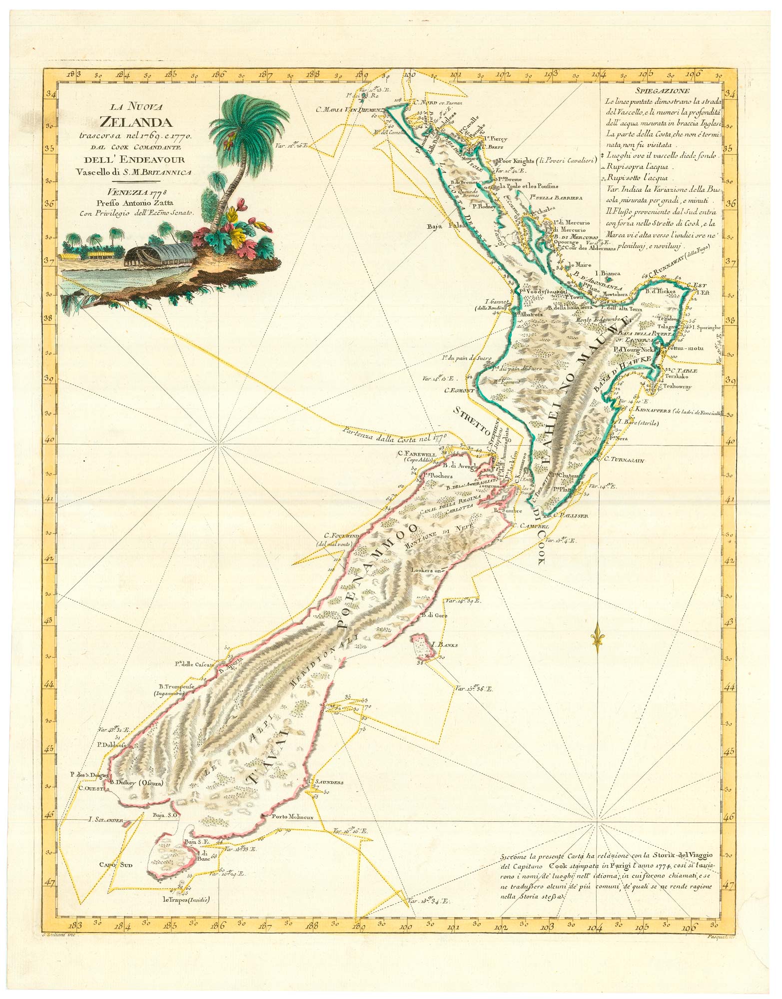
Zatta's important map showing Cook's charting of New Zealand
ZATTA, Antonio. Date: 1778 Stock #: 24601 £1,750.00
[ti_wishlists_addtowishlist]

[ti_wishlists_addtowishlist]