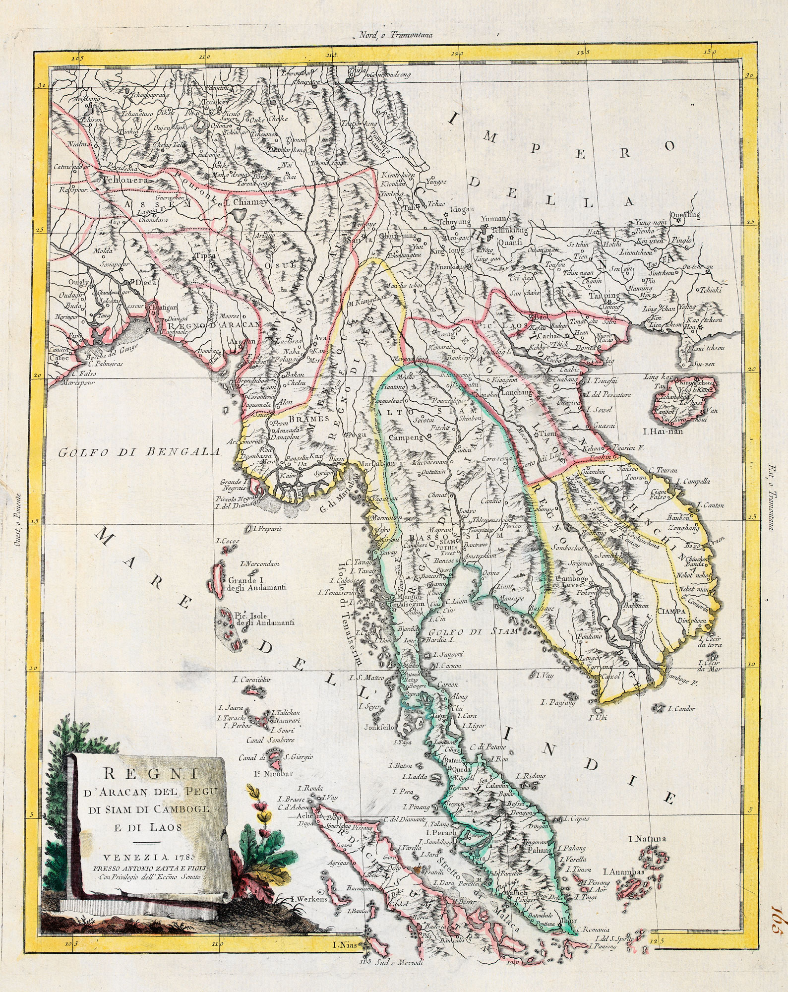


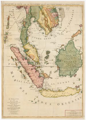
18th century map of Indo-China
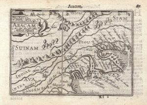
Regni d'Aracan del Pegu di Siam di Camboge e di Laos.
Venice, 1785. Original outline colour. 415 x 335mm.
£420.00
Description
A map of Burma, Laos, Thailand, Cambodia, Vietnam and the Malay Peninsula, published in the ''Atlante Nuovissimo'', one of the last decorative atlases.
Condition:
A good example.Related products
-
An 18th century playing-card map of the Malay Peninsula
RABATTA, Augusto & BAILOU, Jean Baptist de. Date: 1779Stock #: 12985 £350.00 -
An 18th century map of Indochina
MOLL, Herman. Date: 1727Stock #: 22426 £400.00 -
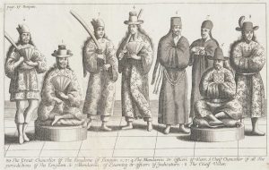
17th century Illustration of Tunquin Dignitaries
TAVERNIER, Jean-Baptiste. Date: 1678Stock #: 19919 £190.00 -
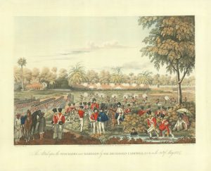
Attacking the stockade, Rangoon
MOORE, Joseph. Date: 1825Stock #: 18623 £650.00 -
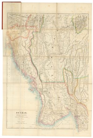
A detailed Victorian map of Burma
ARROWSMITH, John. Date: 1875Stock #: 23852 £425.00 -
Two-sheet sea chart of the Malay Peninsula
MORTIER, Pierre. Date: 1705Stock #: 22900 £2,000.00 -
Sea chart of the Malacca Strait
LECLERCQ, C. Date: 1864Stock #: 12461 £400.00 -
A 16th century miniature map of Burma
LANGENES, Barent. Date: 1599Stock #: 21276 £220.00 -
17th century Illustration of Temples and Pagodas in Tunquin
TAVERNIER, Jean-Baptiste. Date: 1678Stock #: 19917 £190.00
Items by the same author
[ti_wishlists_addtowishlist]
[ti_wishlists_addtowishlist]
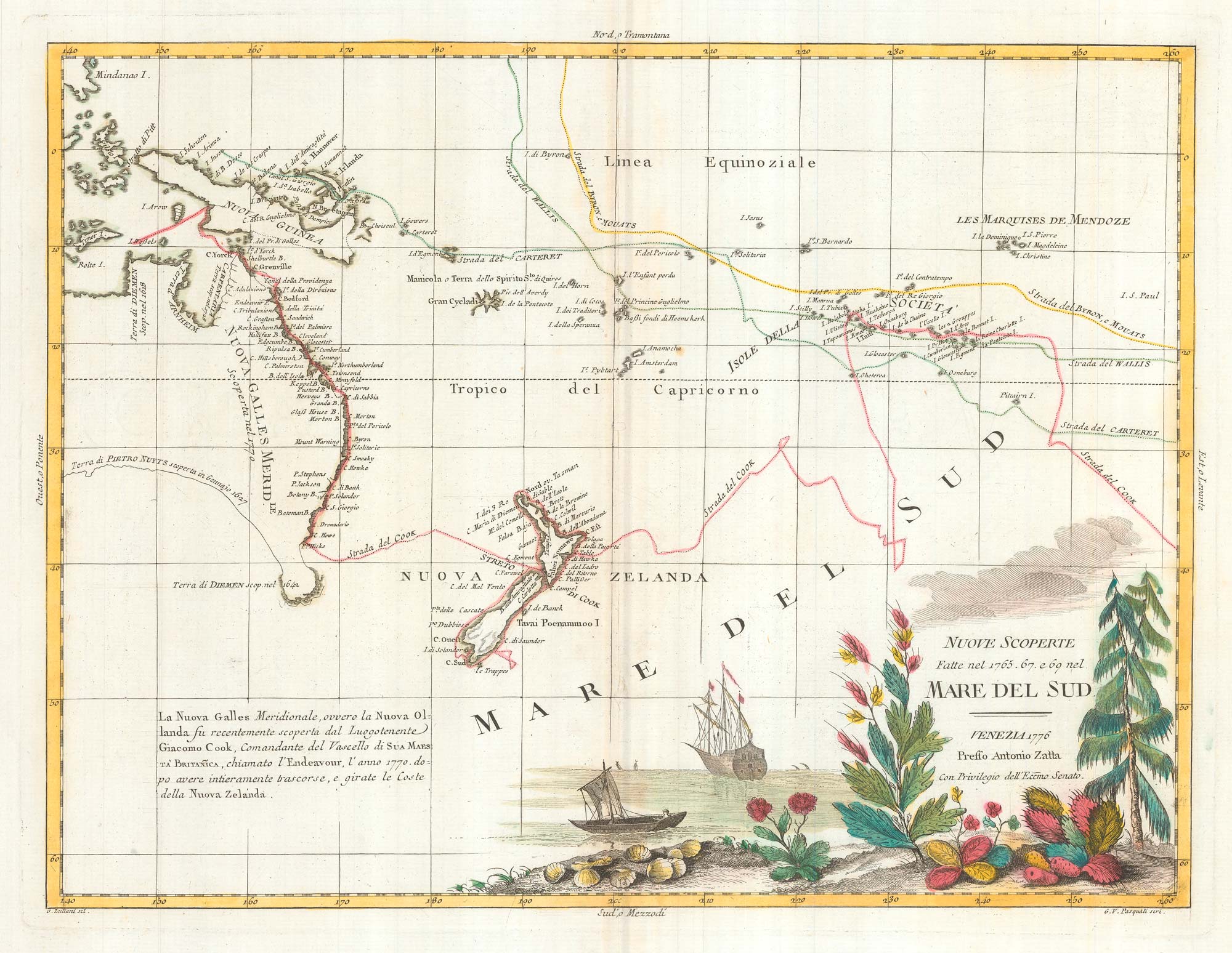
Map of Australia and New Zealand after Cook's First Voyage to the Pacific
ZATTA, Antonio. Date: 1776 Stock #: 24599 £1,000.00
[ti_wishlists_addtowishlist]
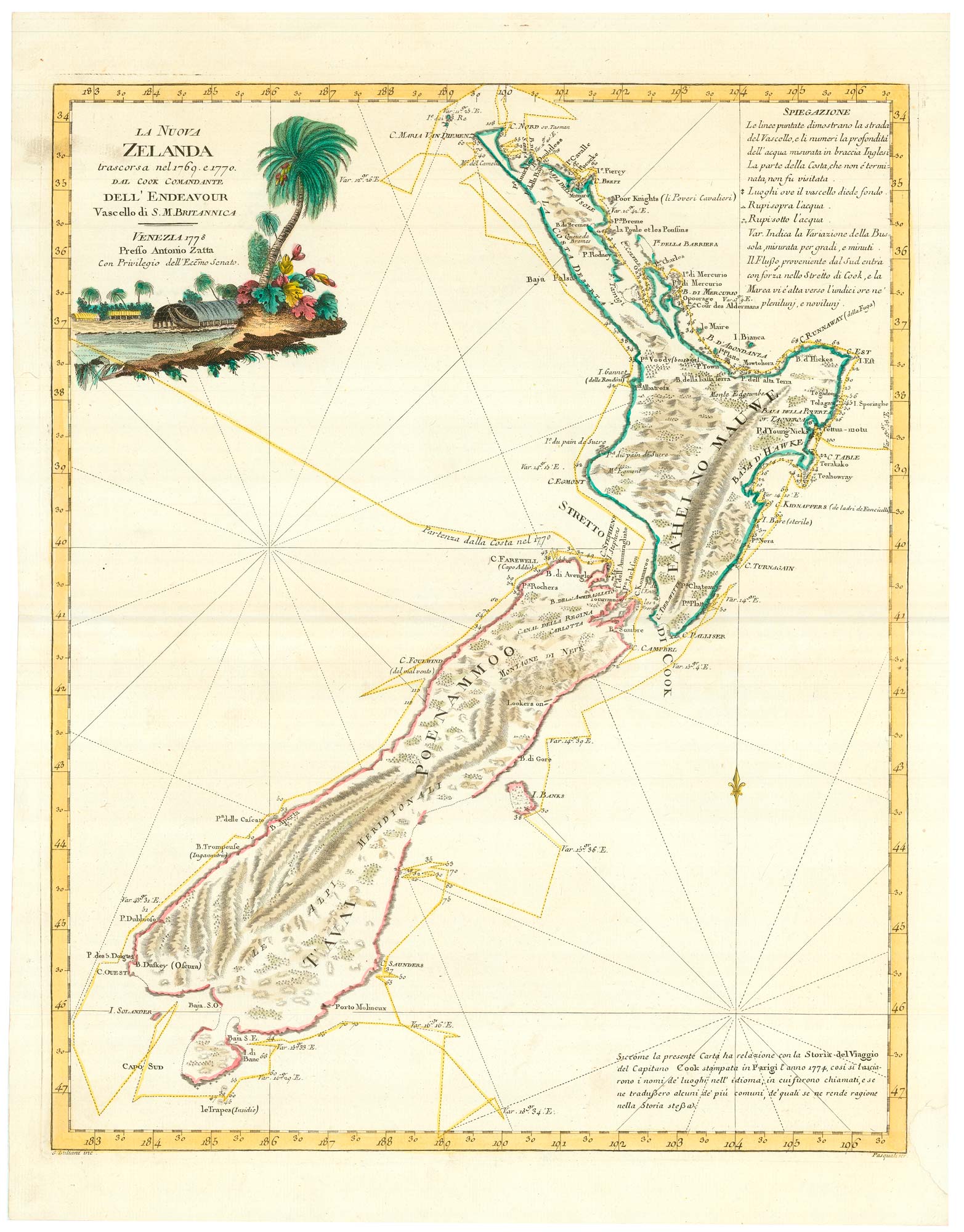
Zatta's important map showing Cook's charting of New Zealand
ZATTA, Antonio. Date: 1778 Stock #: 24601 £1,750.00
[ti_wishlists_addtowishlist]

[ti_wishlists_addtowishlist]
[ti_wishlists_addtowishlist]