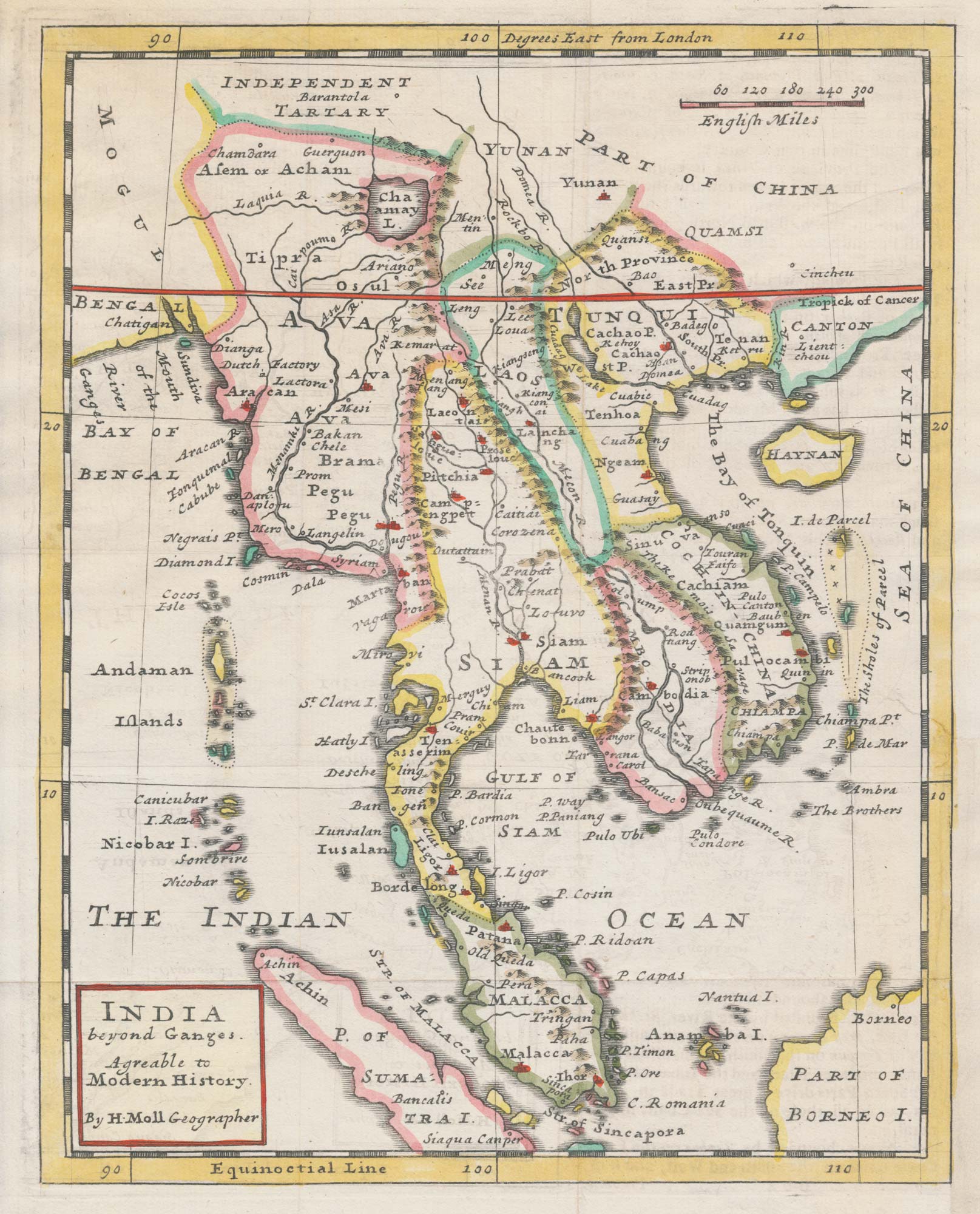


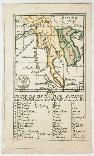
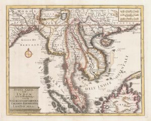
An 18th century map of Indochina
India beyond Ganges. Agreable to Modern History.
London, c.1727. Coloured. 260 x 205mm.
£400.00
Description
A map of Indochina, with Burma, the Malay Peninsula with Siam, Malacca and Singapore, Cambodia and Vietnam.
Condition:
Trimmed to printed border lower right, new margin added.Related products
-
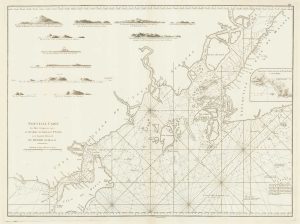
A sea chart of the environs of Singapore
APRÈS DE MANNEVILLETTE, Jean Baptiste d'. Date: 1775Stock #: 19834 £2,000.00 -
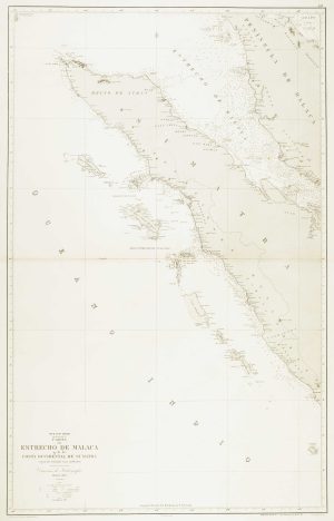
Sea chart of the Malacca Strait
DE LORENZO, J. Date: 1867Stock #: 12463 £480.00 -
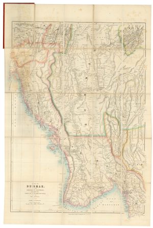
A detailed Victorian map of Burma
ARROWSMITH, John. Date: 1875Stock #: 23852 £425.00 -
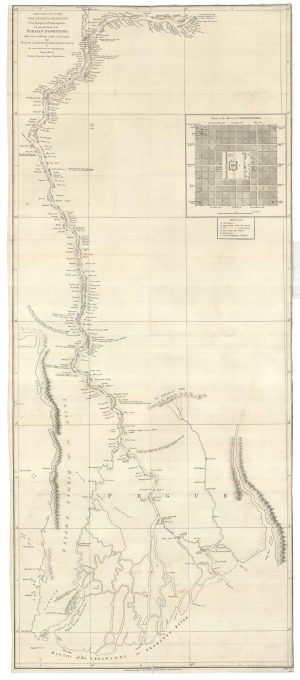
The first accurate map of the Irrawaday River
WOOD, Thomas. Date: 1800Stock #: 25086 £900.00 -
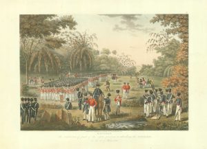
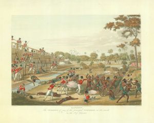
British troops preparing to attack the stockades of Rangoon
MOORE, Joseph. Date: 1825Stock #: 18627 £750.00 -
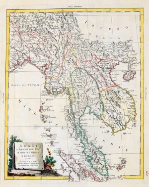
18th century map of Indo-China
ZATTA, Antonio. Date: 1785Stock #: 20722 £420.00 -
An 18th century playing-card map of the Malay Peninsula
RABATTA, Augusto & BAILOU, Jean Baptist de. Date: 1779Stock #: 12985 £350.00 -
18th century map of Indochina
TIRION, Isaak. Date: 1734Stock #: 23412 £450.00 -
Storming the stockades, Rangoon
MOORE, Joseph. Date: 1825Stock #: 18622 £650.00
Items by the same author
[ti_wishlists_addtowishlist]
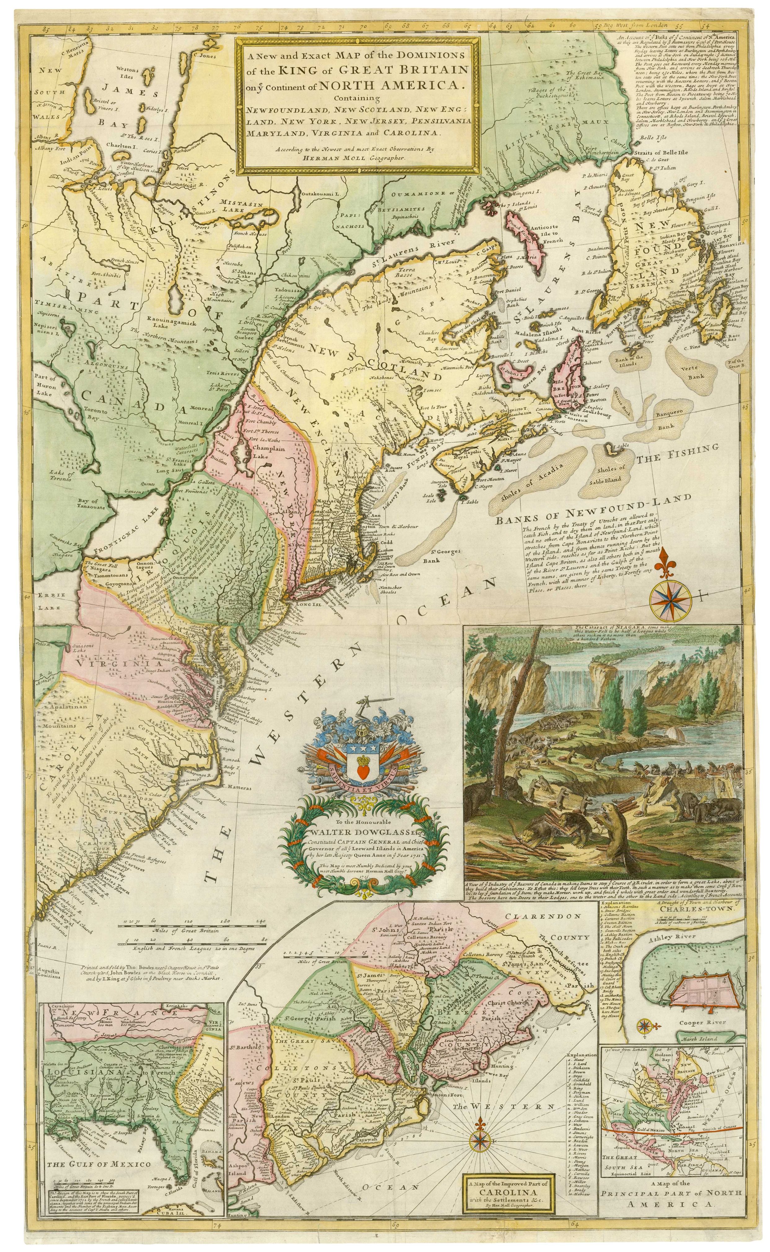
The famous 'Beaver Map' of the British Colonies in America
MOLL, Herman. Date: 1731 Stock #: 25405 £8,500.00
[ti_wishlists_addtowishlist]
[ti_wishlists_addtowishlist]

[ti_wishlists_addtowishlist]
