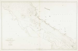
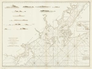
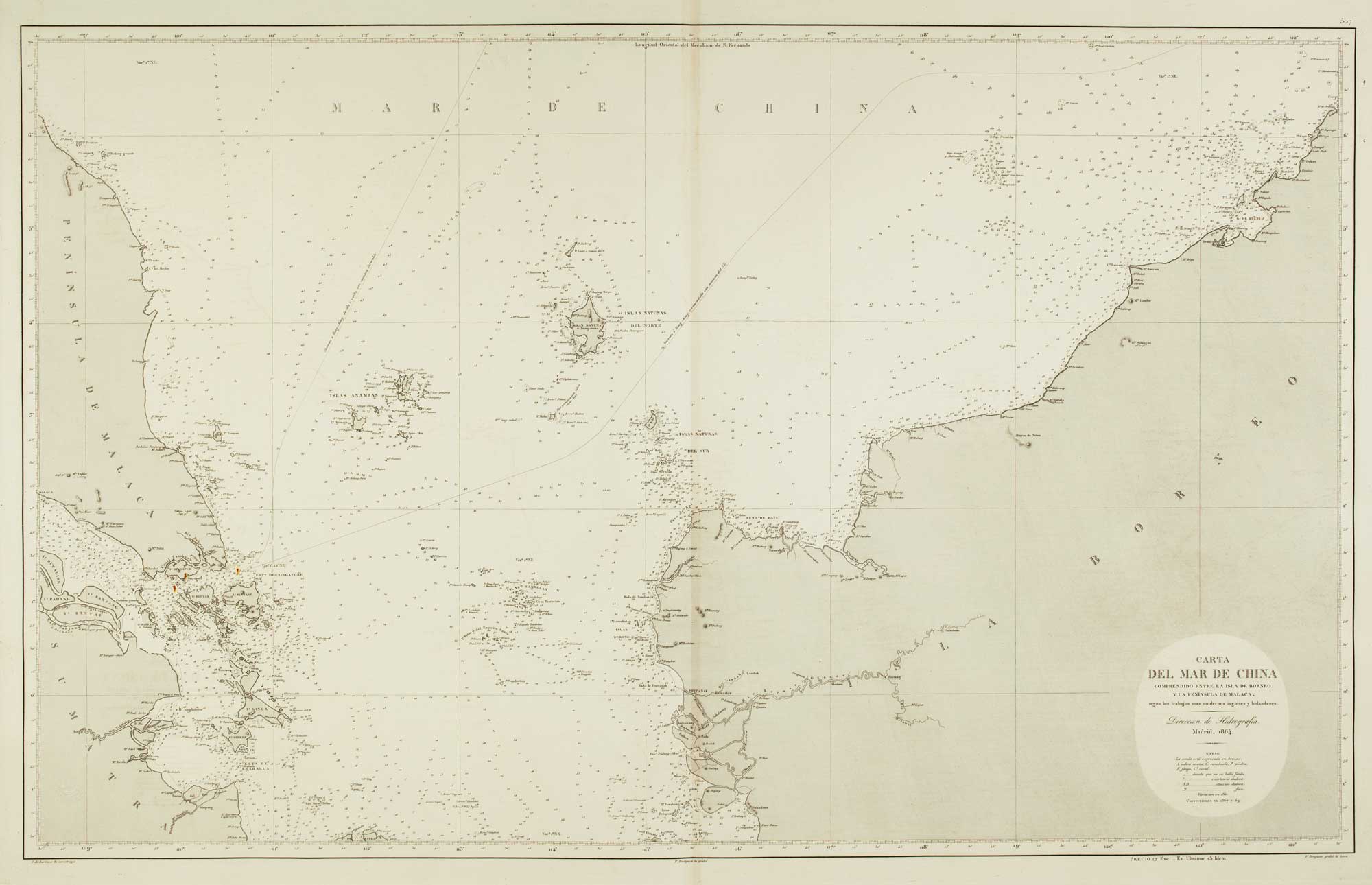
Sea chart of the Malacca Strait
Oceano Indio. Carta del Estrechio de Malaca y de la Costa Occidentale de Sumatra segun los trabajos mas modernos.
Madrid: Direccion de Hidrografia, 1863-7. Touches of original colour. 980 x 640mm. Blind stamp of the Direccion de Hidrografia.
£480.00
Description
Sea chart of part of the northern approaches to the Malacca Strait, between Malaysia and Sumatra, marking Malacca and Penang. The Klang River is marked, but Kuala Lumpur is yet of sufficient importance to be shown: founded in 1857 it was not until 1880 it even became state capital. Much of the western coastline of Sumatra is also marked. The lighthouses are marked in colour.
Condition:
A good example.Related products
-
Sea chart of the Malacca Strait
LECLERCQ, C. Date: 1864Stock #: 12461 £400.00 -

17th century Illustration of Temples and Pagodas in Tunquin
TAVERNIER, Jean-Baptiste. Date: 1678Stock #: 19916 £180.00 -
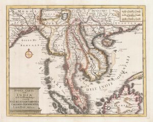
18th century map of Indo-China
ZATTA, Antonio. Date: 1785Stock #: 20722 £420.00 -

17th century Illustration of Tunquin Dignitaries
TAVERNIER, Jean-Baptiste. Date: 1678Stock #: 19919 £190.00 -
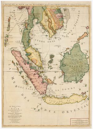
An 18th century map of Indochina
MOLL, Herman. Date: 1727Stock #: 22426 £400.00 -
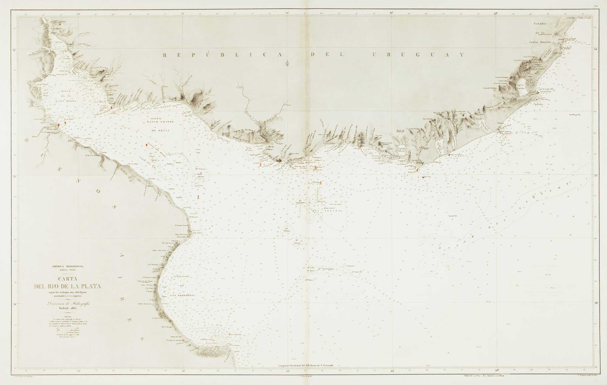
Two-sheet sea chart of the Malay Peninsula
MORTIER, Pierre. Date: 1705Stock #: 22900 £2,000.00 -
A sea chart of the environs of Singapore
APRÈS DE MANNEVILLETTE, Jean Baptiste d'. Date: 1775Stock #: 19834 £2,000.00 -
18th century map of Indochina
TIRION, Isaak. Date: 1734Stock #: 23412 £450.00 -

Storming the stockade at Kemmendine
MOORE, Joseph. Date: 1825Stock #: 18626 £750.00
Items by the same author
[ti_wishlists_addtowishlist]
[ti_wishlists_addtowishlist]

[ti_wishlists_addtowishlist]
[ti_wishlists_addtowishlist]