The first detailed map of Uruguay
Carta Geografica del Estado Oriental del Uruguay y Posesiones Adyacentes Trazada segun los documentes mas recentes y exactos. Publicada bajo la direccion del S.or A. Roger Consul de Francia dedicata al Ex.mo S.or Presidente G.al D.r Fructuoso Rivera.
£6,000.00
Description
A very rare map of Uruguay, lithographed by Napoléon Chaix, with the western border following the Parama river from Rio de la Plata to Asunción.
It was published under the direction of Aimé Roger, the French consul, and was dedicated to Fructoso Rivera, who had been the first president of the country. This was a mark of French support for Rivera, during the Uruguayan Civil War, when he controlled very little outside Montevideo. Two years later the Rivera's opponents had the city was under a siege that lasted nine years.
Related products
-
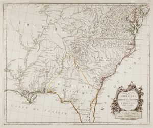
18th century map of the American South East
SANTINI, Francesco & Paolo. Date: 1776Stock #: 9346 £500.00 -
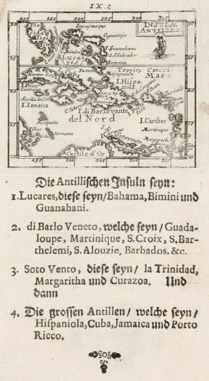
Uncommon miniature map of the West Indies
MULLER, Johann Ulrich. Date: 1692Stock #: 8928 £175.00 -
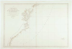
An uncommon Spanish sea chart of the Eastern Seaboard
NOGUERA, C. Date: 1860Stock #: 11858 £1,700.00 -
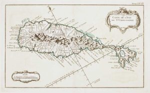
18th century French chart of St Kitts
BELLIN, Jacques-Nicolas. Date: 1764Stock #: 11377 £300.00 -
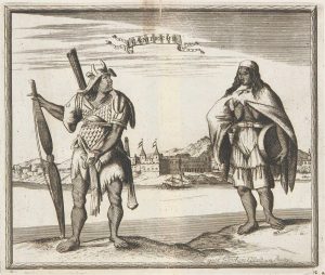
Campeche
ALLARD, Carel. Date: 1720Stock #: 9995 £50.00 -
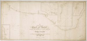
A detailed American ‘blue-back’ sea chart of the Brazilian coastline
BLUNT, E. & G.W. Date: 1840Stock #: 10336 £1,200.00 -
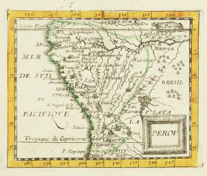
Miniature map of Peru
DU VAL, Pierre. Date: 1682Stock #: 10824 £80.00 -
An uncommon 19th century Spanish sea chart of the Dominican Republic
MOUCHEZ, Amédée Ernest Barthémy. Date: 1865Stock #: 11846 £100.00 -
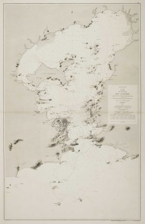
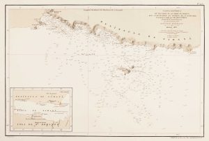
An uncommon 19th century Spanish sea chart of the Bay of Rio de Janeiro
TUBAU, I. Date: 1869Stock #: 12499 £1,200.00