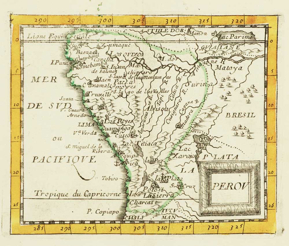


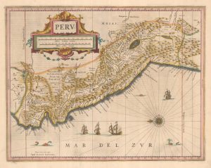
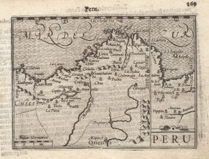
Miniature map of Peru
Perou.
Paris, 1682, original outline colour, 105 x 130mm.
£80.00
Description
A miniature map of Peru, marking its topography, tribal lands, rivers and settlements. From Du Val's miniature atlas 'La Géographie Universelle'.
Condition:
A good example.Related products
-
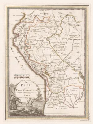
18th century map of Peru & Ecuador
CASSINI, Giovanni Maria. Date: 1798Stock #: 15543 £200.00 -
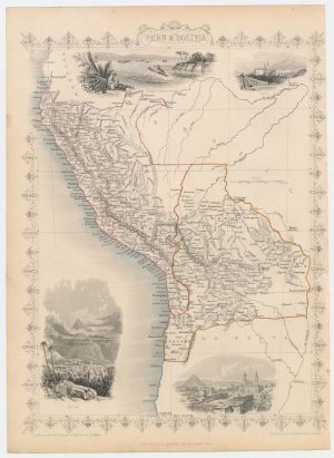
Map of Peru and Bolivia with vignette scenes
TALLIS, John. Date: 1851Stock #: 23528 £140.00 -
A classic 17th century map of Peru
JANSSON, Jan. Date: 1642Stock #: 25304 £600.00 -
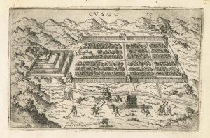
A 16th century Italian plan of Cusco
VALEGIO, Francesco. Date: 1598Stock #: 24137 £380.00 -
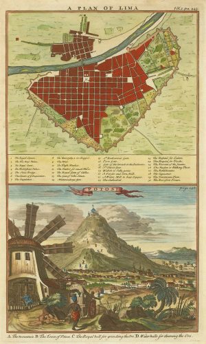
A plan of Lima and a view of the silver mines of Potosi
HARRIS, John. Date: 1746Stock #: 21869 £150.00 -
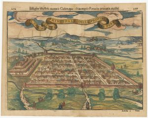
Early decorative bird’s-eye view of Cusco
MUNSTER, Sebastian. Date: 1572Stock #: 24566 £380.00 -
A 16th century miniature map of Peru
LANGENES, Barent. Date: 1599Stock #: 21258 £200.00
Items by the same author
[ti_wishlists_addtowishlist]
[ti_wishlists_addtowishlist]

Crete with a plan of Heraklion under siege by the Ottomans
DU VAL, Pierre. Date: 1677 Stock #: 24834 £550.00
[ti_wishlists_addtowishlist]
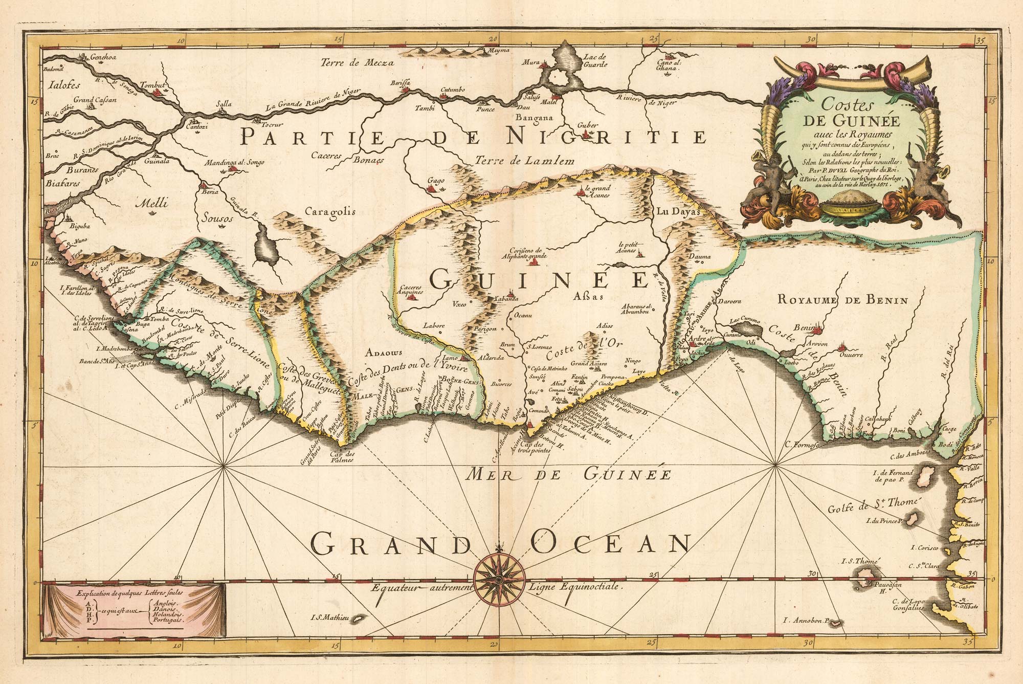
Du Val's folio map of the slave forts of the Gulf of Guinea
DU VAL, Pierre. Date: 1671 Stock #: 23256 £480.00
[ti_wishlists_addtowishlist]
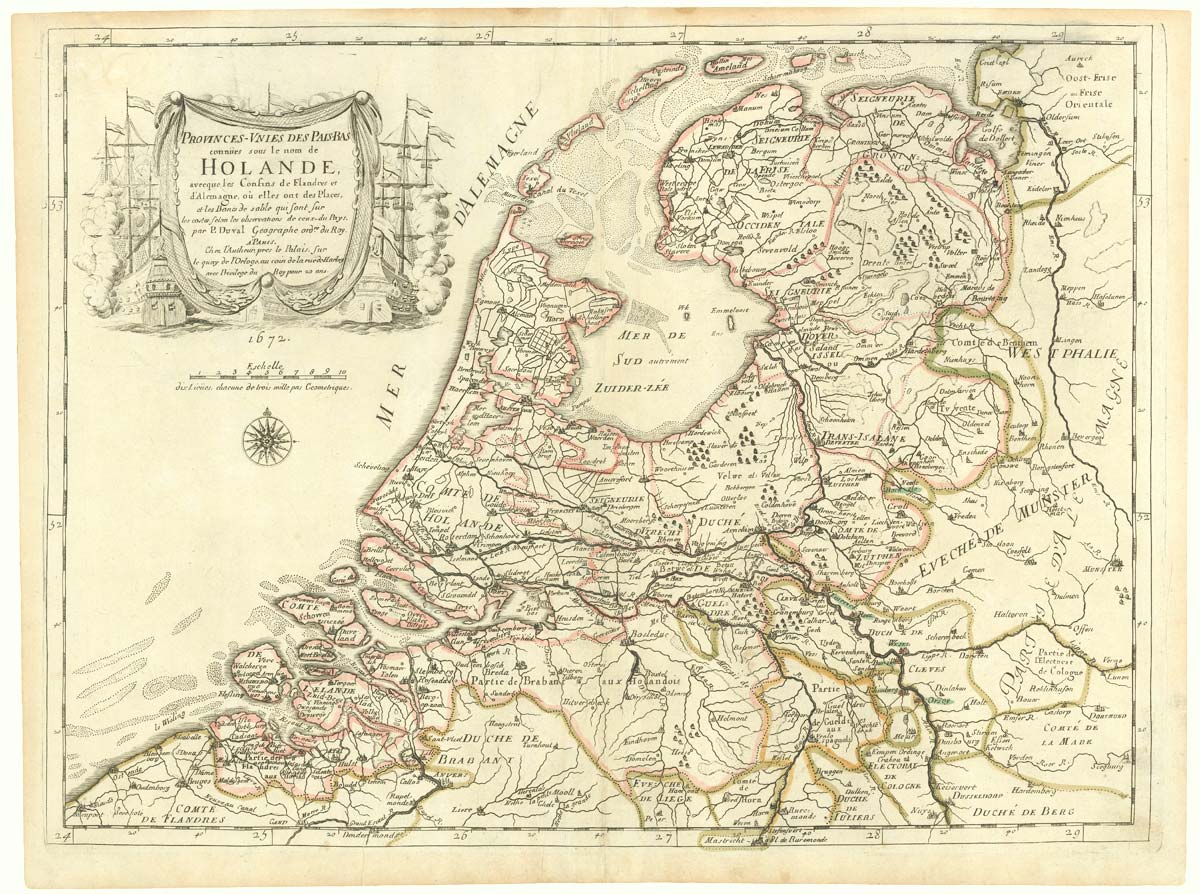
The Netherlands during the Anglo-Dutch War of 1672
DU VAL, Pierre. Date: 1672 Stock #: 20503 £900.00
[ti_wishlists_addtowishlist]