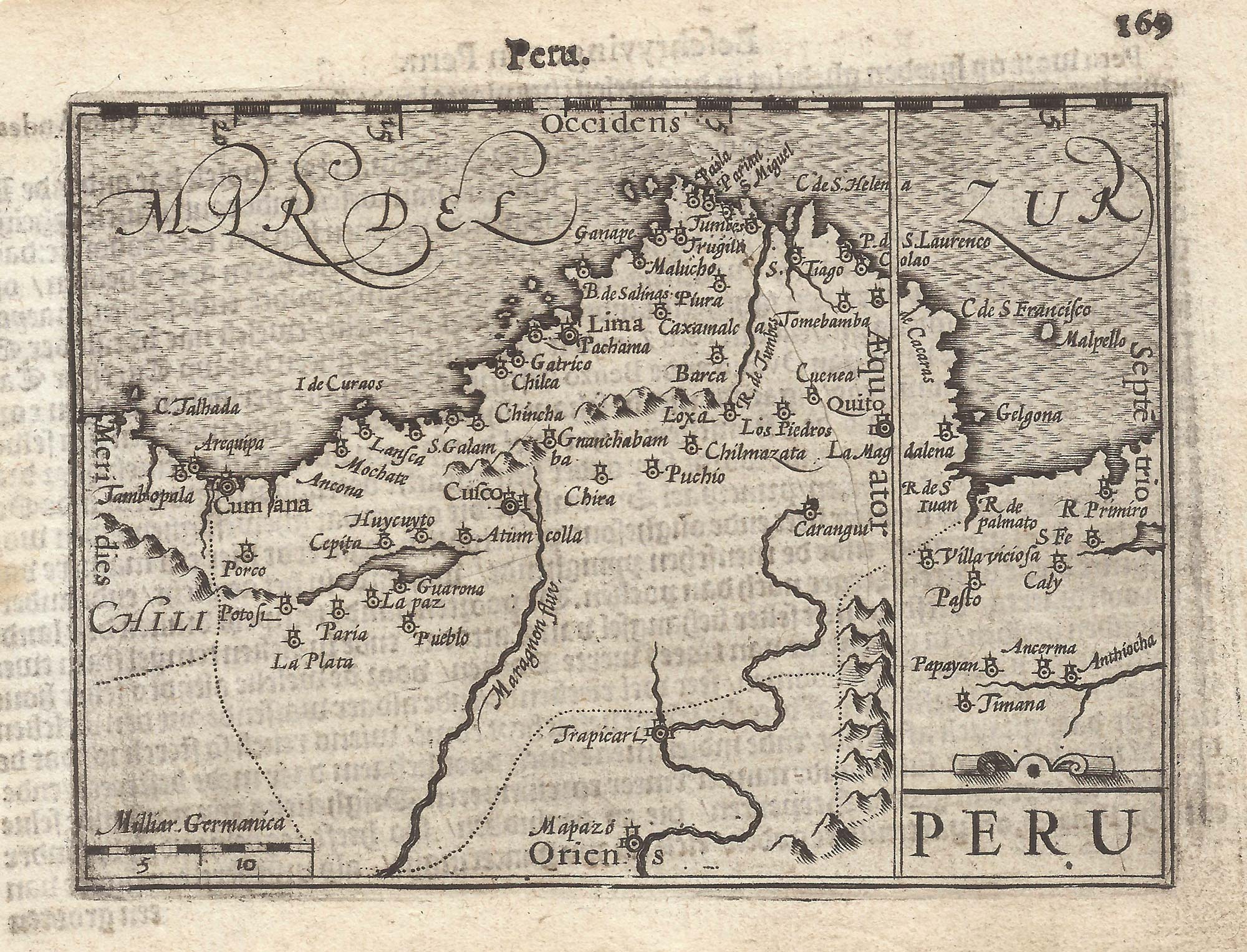


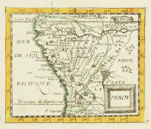
A 16th century miniature map of Peru
Peru.
Amsterdam, Cornelis Claez, 1599, Dutch text edition. 85 x 125mm, with letterpress surtitle and pagination.
£200.00
Description
A scarce map of Peru, orientated with north to the right, marking Lima and Cusco. It was .engraved by either Jodocus Hondius or Pieter van den Keere for the 1598 'Caert-Thresoor', with a text by an unknown author. Despite being published only a year after the first edition, this is a second state: the top border has been re-engraved with latitude graduations.
By 1600 this map was being published in the 'Tabularum Geographicarum Contractarum' with a text by Petrus Bertius, and in 1616 a new plate was engraved by Jodocus Hondius II, slightly larger and with wider borders with scales of longitude and latitude.
Condition:
A good example.Related products
-
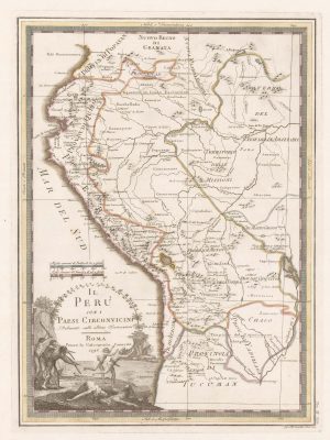
18th century map of Peru & Ecuador
CASSINI, Giovanni Maria. Date: 1798Stock #: 15543 £200.00 -
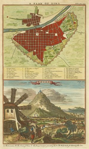
A plan of Lima and a view of the silver mines of Potosi
HARRIS, John. Date: 1746Stock #: 21869 £150.00 -
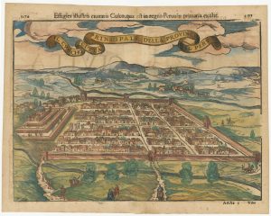
Early decorative bird’s-eye view of Cusco
MUNSTER, Sebastian. Date: 1572Stock #: 24566 £380.00 -
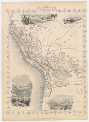
Map of Peru and Bolivia with vignette scenes
TALLIS, John. Date: 1851Stock #: 23528 £140.00 -
Miniature map of Peru
DU VAL, Pierre. Date: 1682Stock #: 10824 £80.00 -
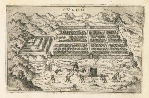
A 16th century Italian plan of Cusco
VALEGIO, Francesco. Date: 1598Stock #: 24137 £380.00 -
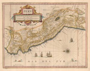
A classic 17th century map of Peru
JANSSON, Jan. Date: 1642Stock #: 25304 £600.00
Items by the same author
[ti_wishlists_addtowishlist]

[ti_wishlists_addtowishlist]

A 16th century miniature map of Saxony, Thuringia & Meissen
LANGENES, Barent. Date: 1599 Stock #: 21173 £50.00
[ti_wishlists_addtowishlist]

[ti_wishlists_addtowishlist]

[ti_wishlists_addtowishlist]

A 16th century miniature map of the Comtat Venaissin
LANGENES, Barent. Date: 1599 Stock #: 21137 £55.00
[ti_wishlists_addtowishlist]
