Antique Maps of America
Showing 31–60 of 243 products
Sort by:
[ti_wishlists_addtowishlist]
[ti_wishlists_addtowishlist]
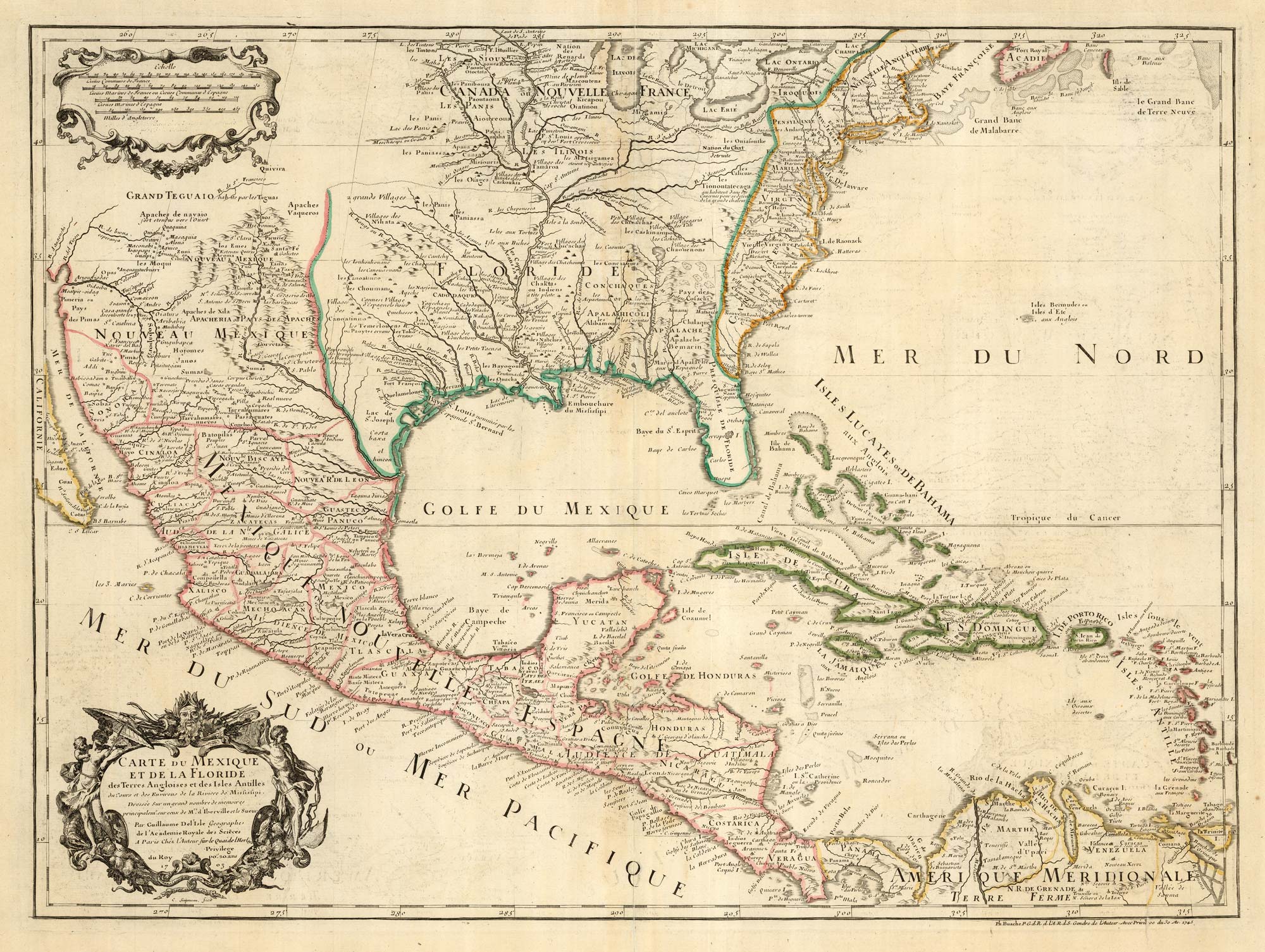
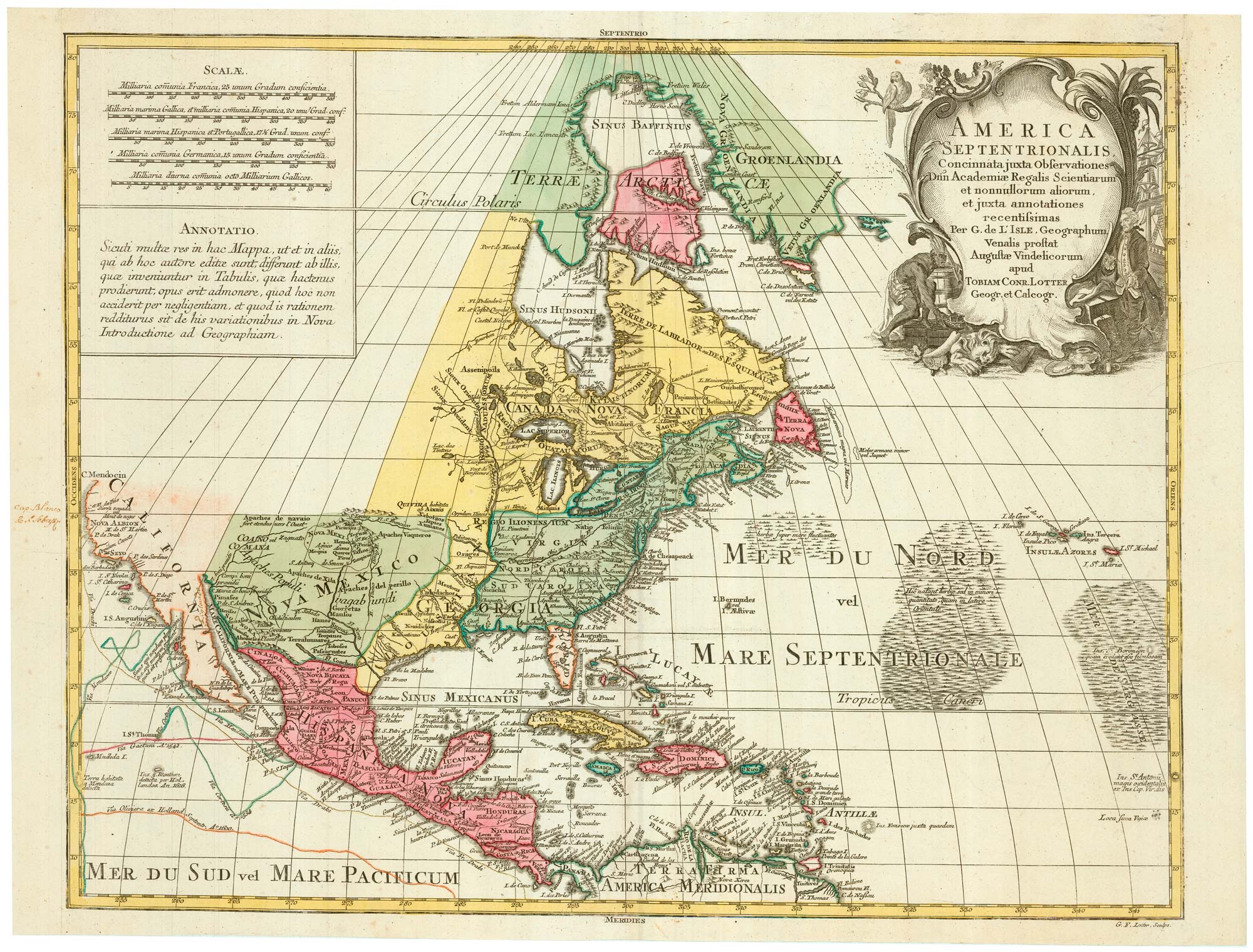
The first printed map to accurately map the Mississippi River
DELISLE, Guillaume. Date: 1745 Stock #: 25238 £850.00
[ti_wishlists_addtowishlist]
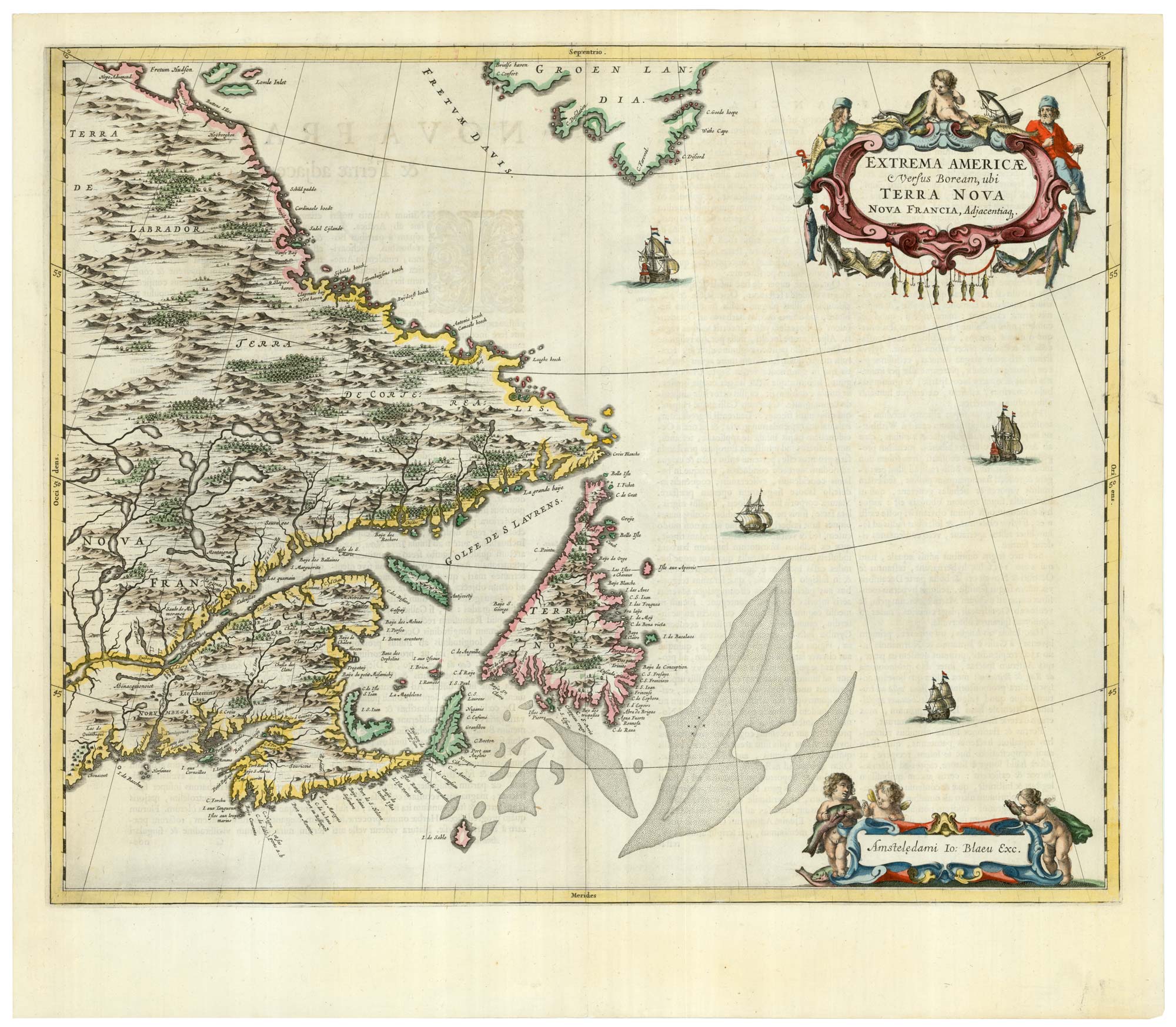
A scarce 17th century map of Newfoundland and Nova Scotia
BLAEU, Johannes. Date: 1662 Stock #: 22716 £1,500.00
[ti_wishlists_addtowishlist]

[ti_wishlists_addtowishlist]
[ti_wishlists_addtowishlist]
[ti_wishlists_addtowishlist]
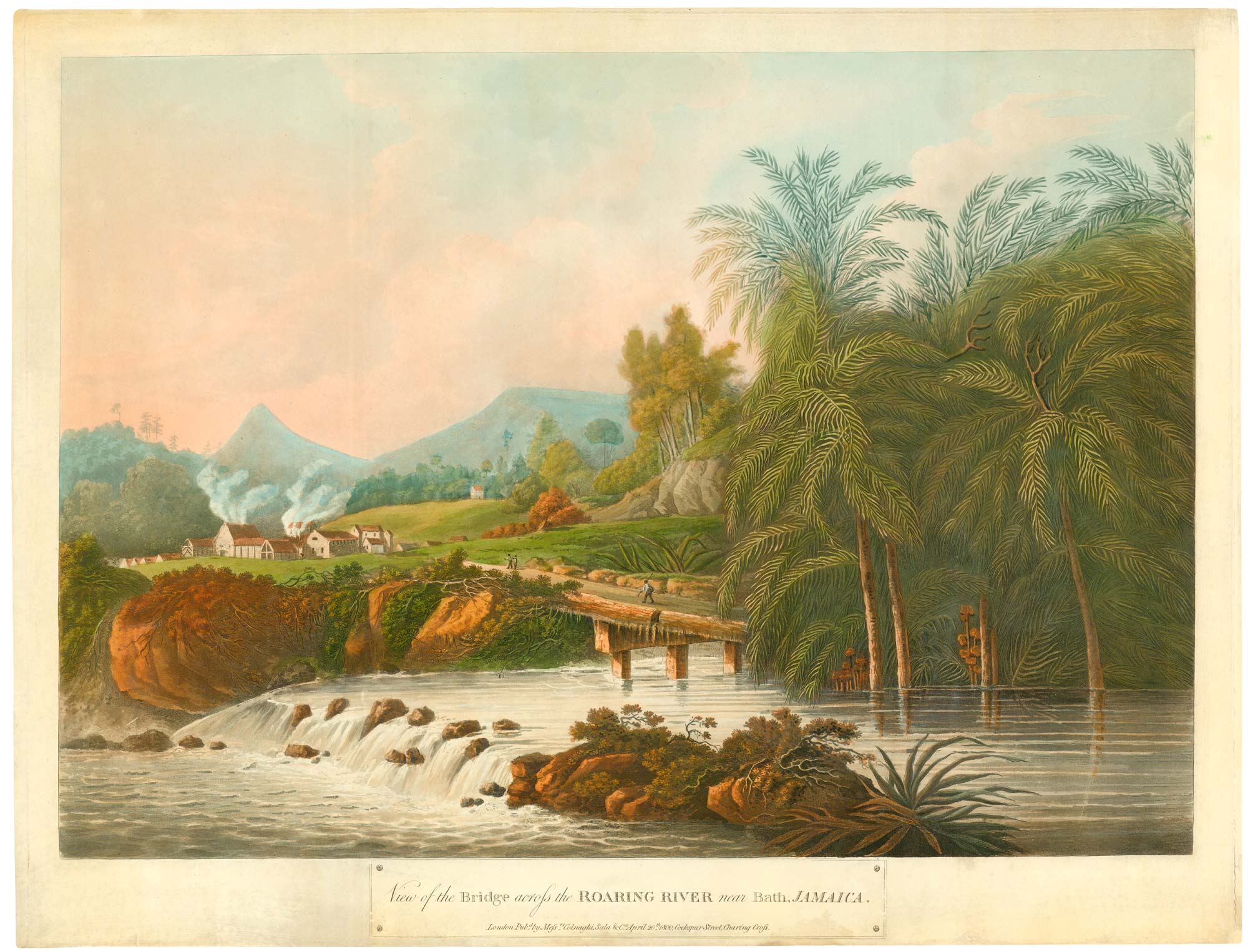
An uncommon view of the Roaring River in Jamaica
BELANGER, Louis. Date: 1800 Stock #: 25035 £1,500.00
[ti_wishlists_addtowishlist]
[ti_wishlists_addtowishlist]
[ti_wishlists_addtowishlist]
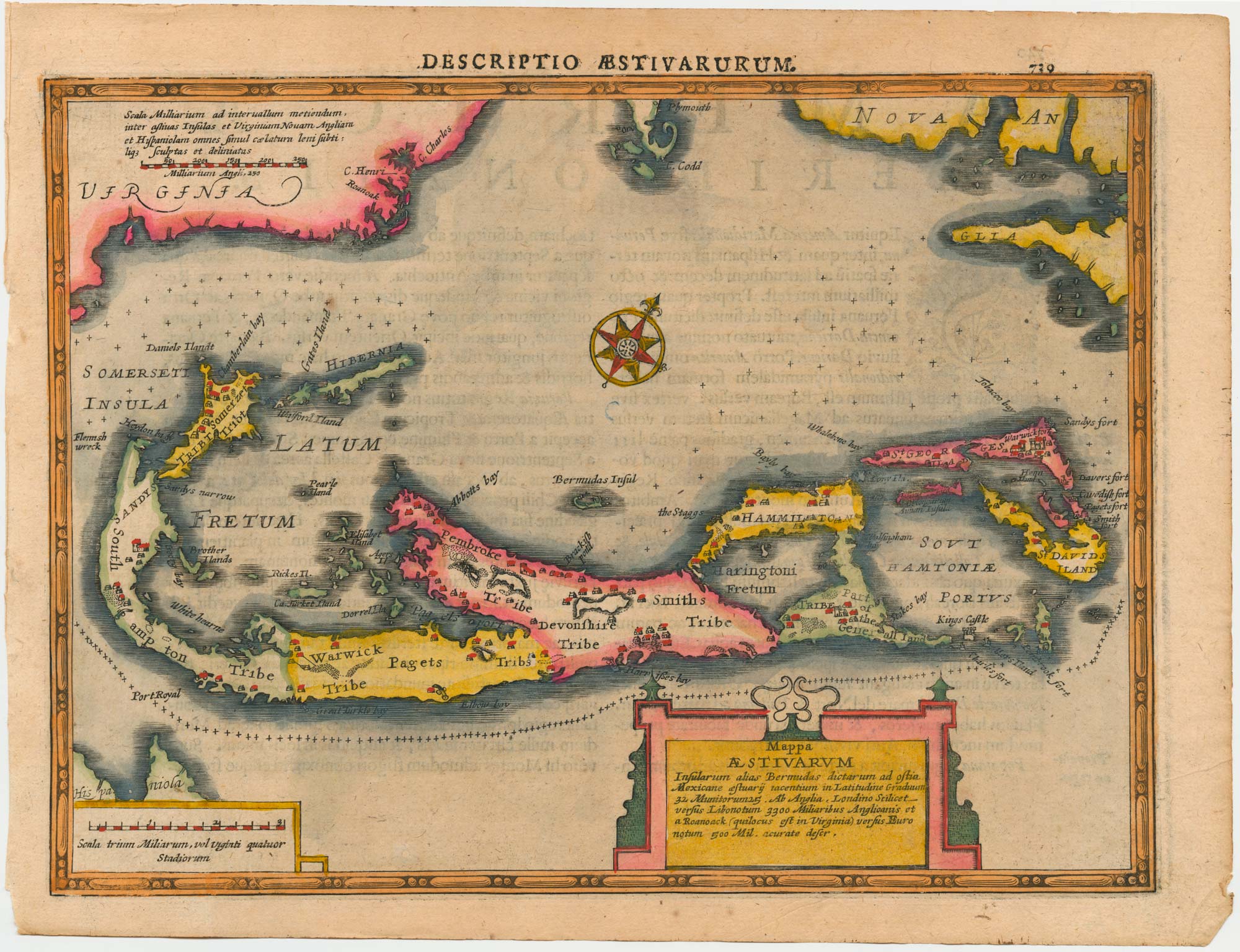
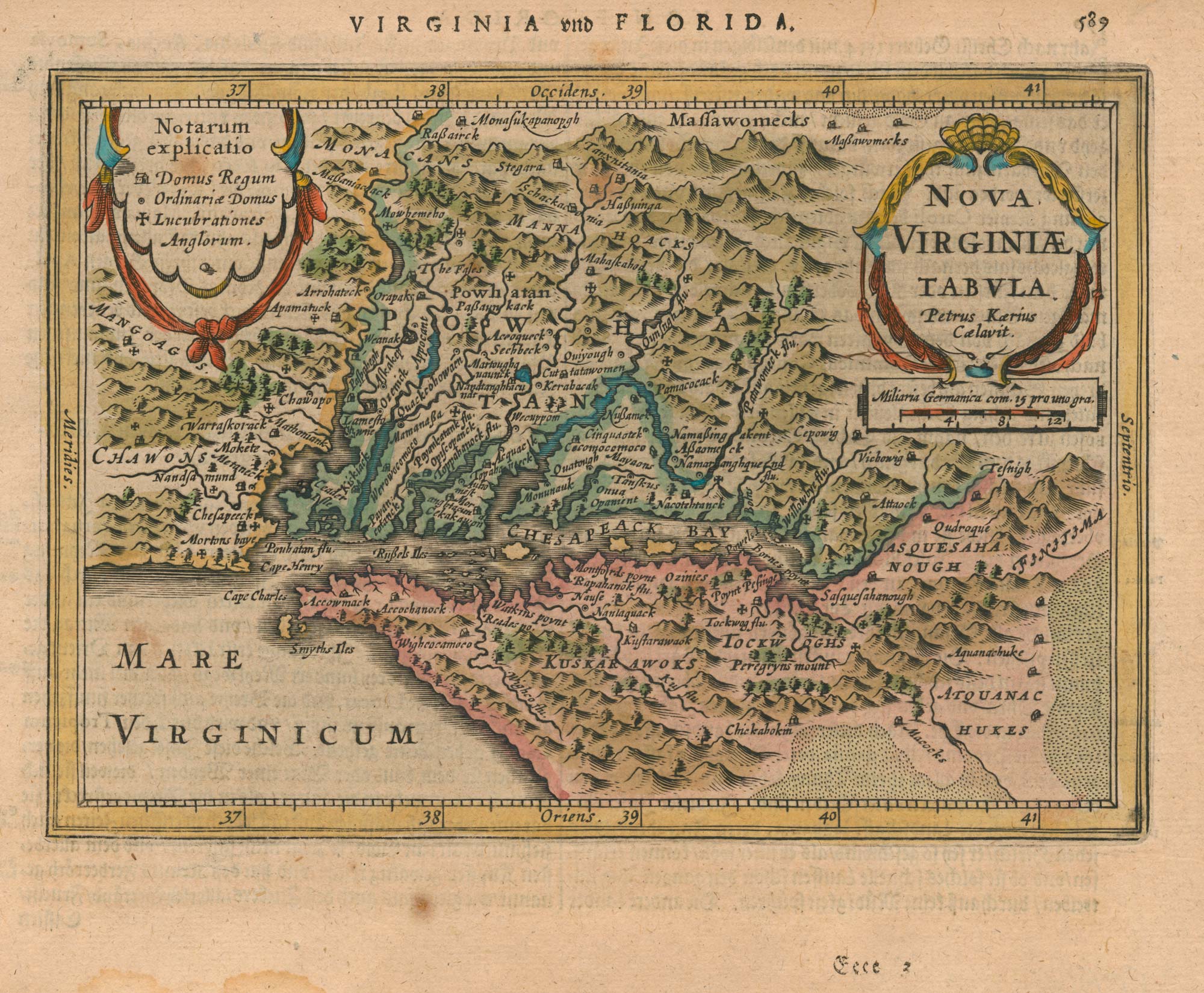
Bermuda from Cloppenburg's edition of Mercator's Atlas
CLOPPENBURG, Johannes. Date: 1632 Stock #: 25072 £850.00
[ti_wishlists_addtowishlist]
[ti_wishlists_addtowishlist]
[ti_wishlists_addtowishlist]

[ti_wishlists_addtowishlist]
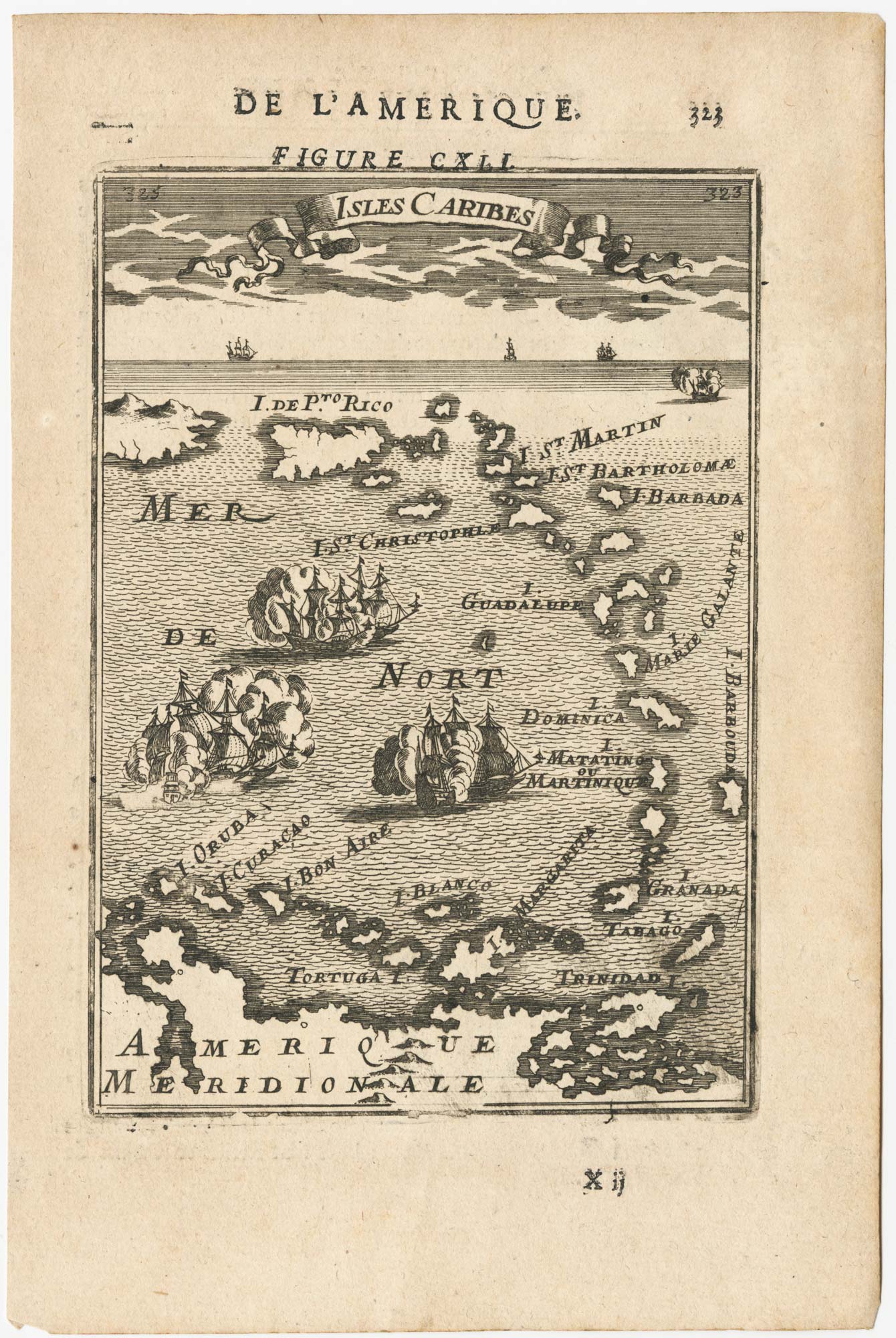
17th century miniature map of the Antilles
MALLET, Alain Manesson. Date: 1683 Stock #: 24840 £180.00
[ti_wishlists_addtowishlist]
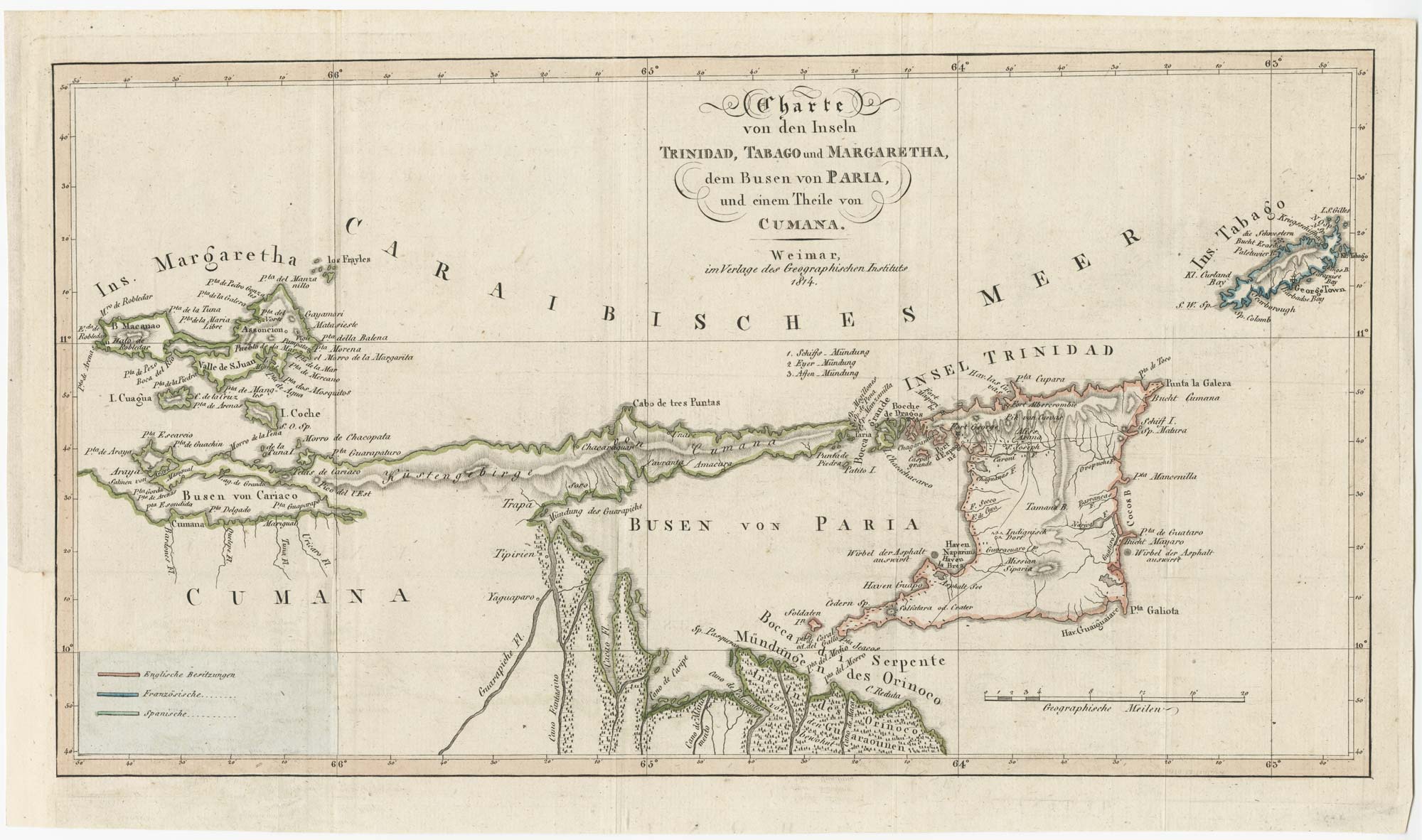
Early 19th century map of Trinidad and Tobago
DAUXION-LAVAYSSE, Jean-Francois. Date: 1814 Stock #: 24860 £220.00
[ti_wishlists_addtowishlist]
[ti_wishlists_addtowishlist]
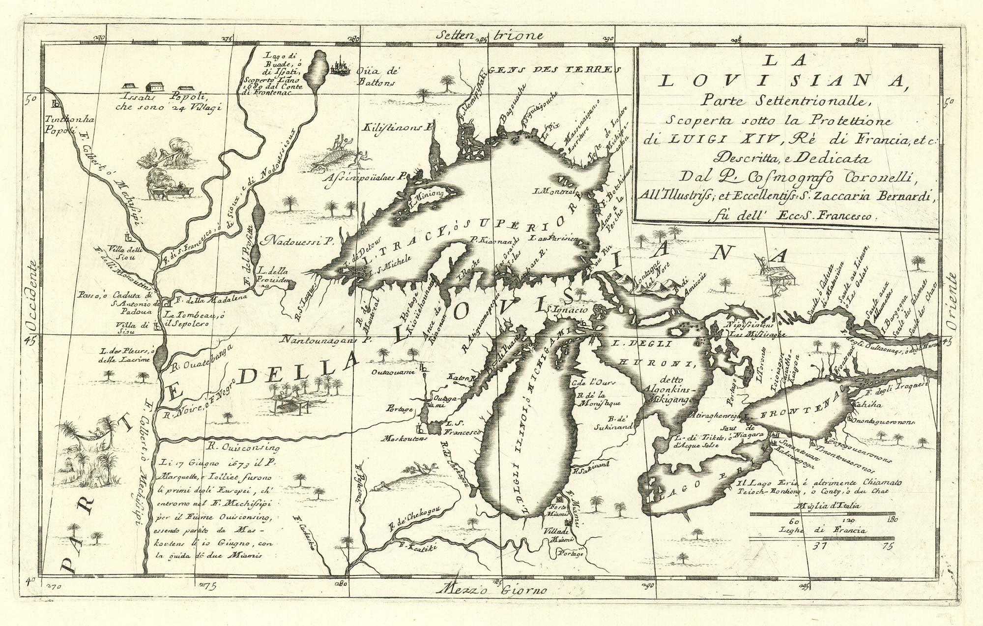
The first map to show the five Great Lakes
CORONELLI, Vincenzo Maria. Date: 1695 Stock #: 24767 £4,400.00
[ti_wishlists_addtowishlist]

17th century map of Martinique in fine colour
VISSCHER, Nicolas Jansz. Date: 1657 Stock #: 24747 £600.00
[ti_wishlists_addtowishlist]
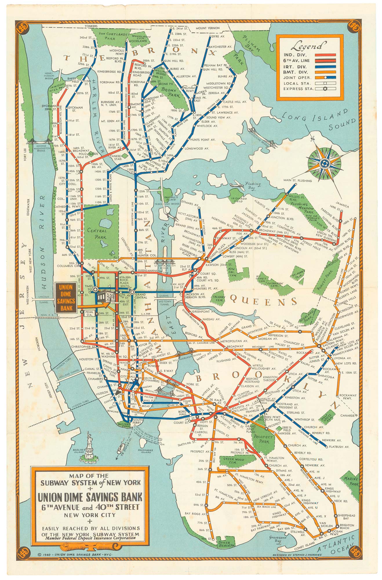
Map of the New York Subway System in 1940
VOORHIES, Stephen Jerome. Date: 194 Stock #: 24773 £480.00
[ti_wishlists_addtowishlist]
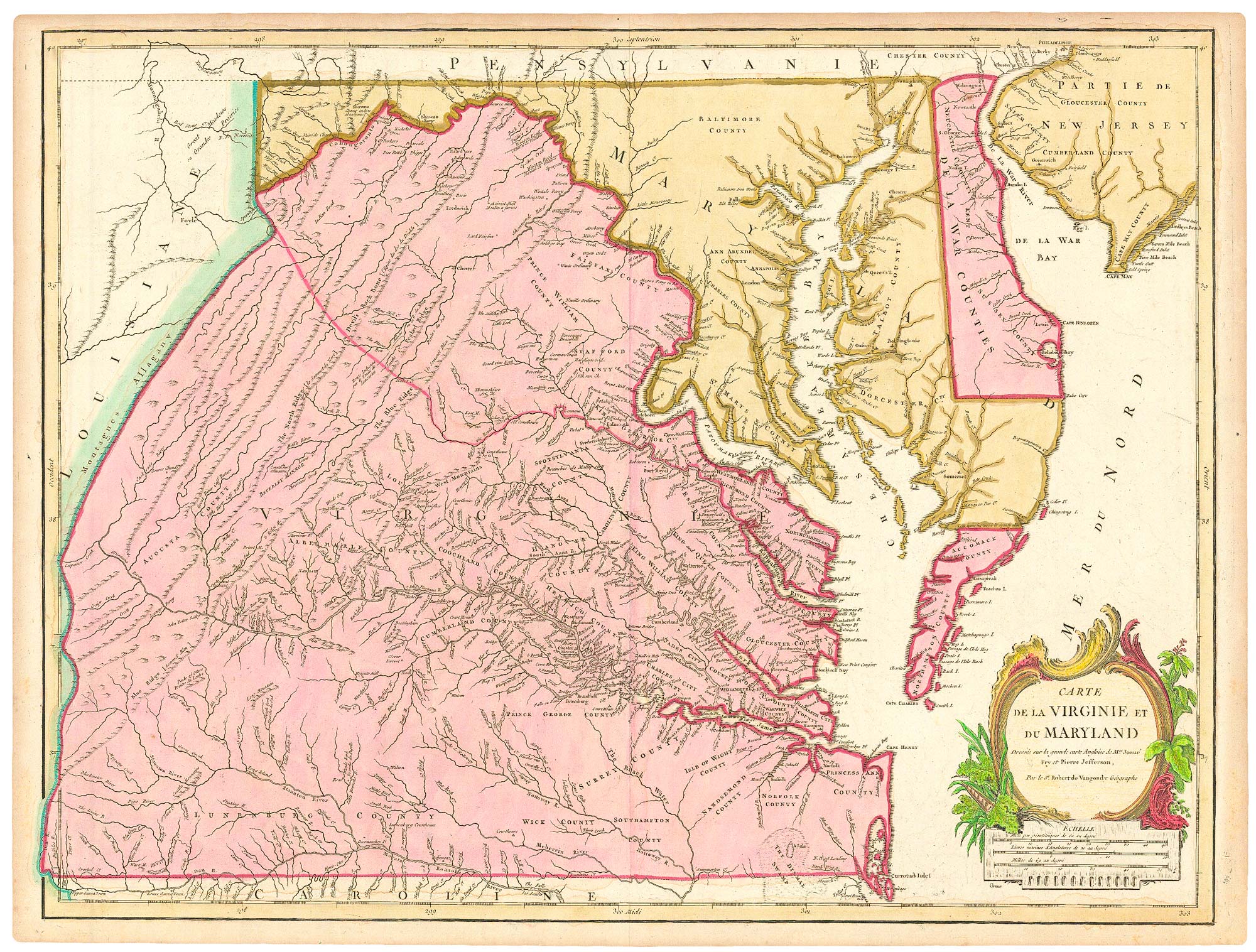
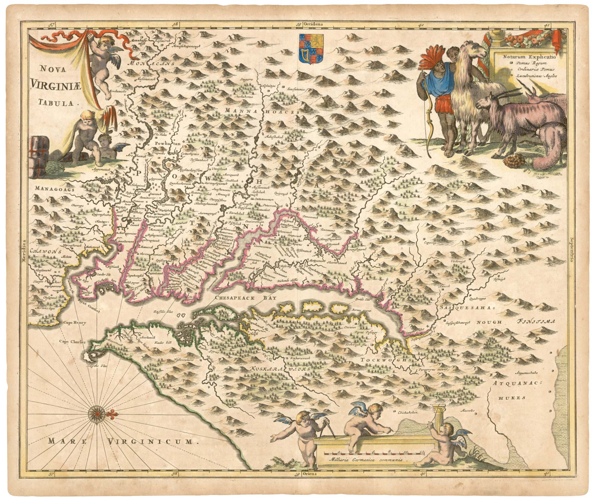
A French edition of an important map of Virginia
FRY, Joshua & JEFFERSON, Peter. Date: 1793 Stock #: 24838 £1,300.00
[ti_wishlists_addtowishlist]
[ti_wishlists_addtowishlist]
[ti_wishlists_addtowishlist]
[ti_wishlists_addtowishlist]
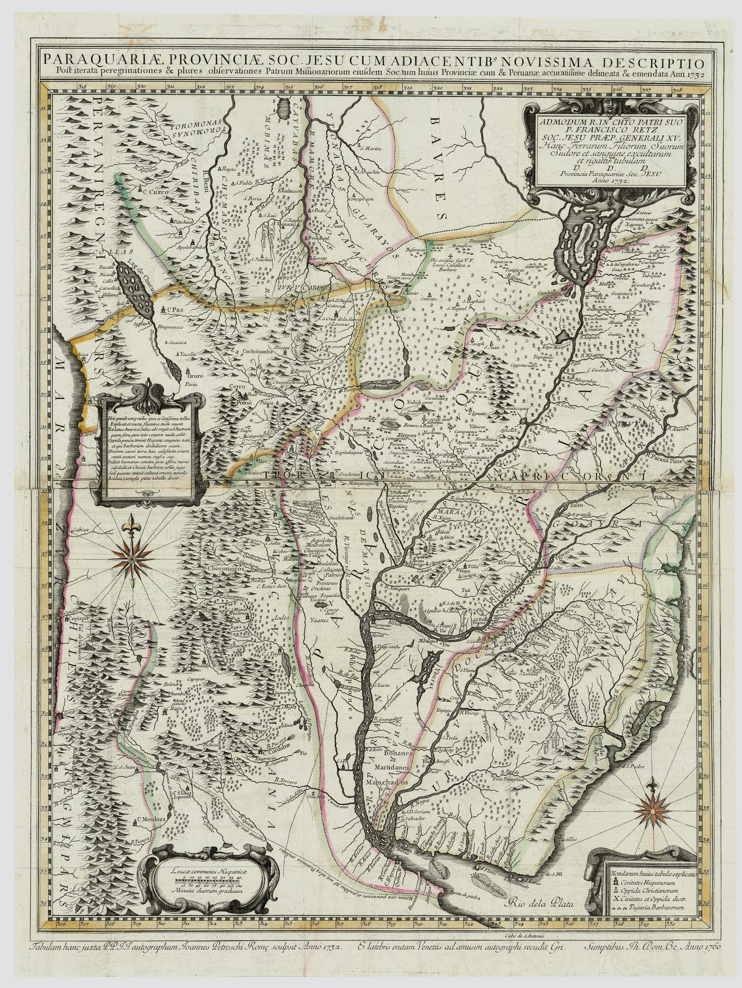
An important map of the 'War of the Seven Reductions'
PETROSCHI, Giovanni. Date: 1760 Stock #: 24764 £1,800.00
[ti_wishlists_addtowishlist]
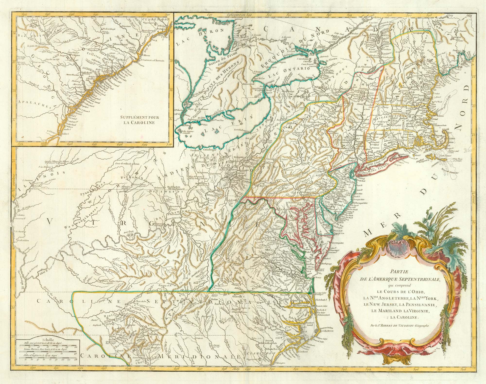
18th century map of the Eastern Seaboard
ROBERT DE VAUGONDY, Didier. Date: 1770 Stock #: 24555 £750.00
[ti_wishlists_addtowishlist]
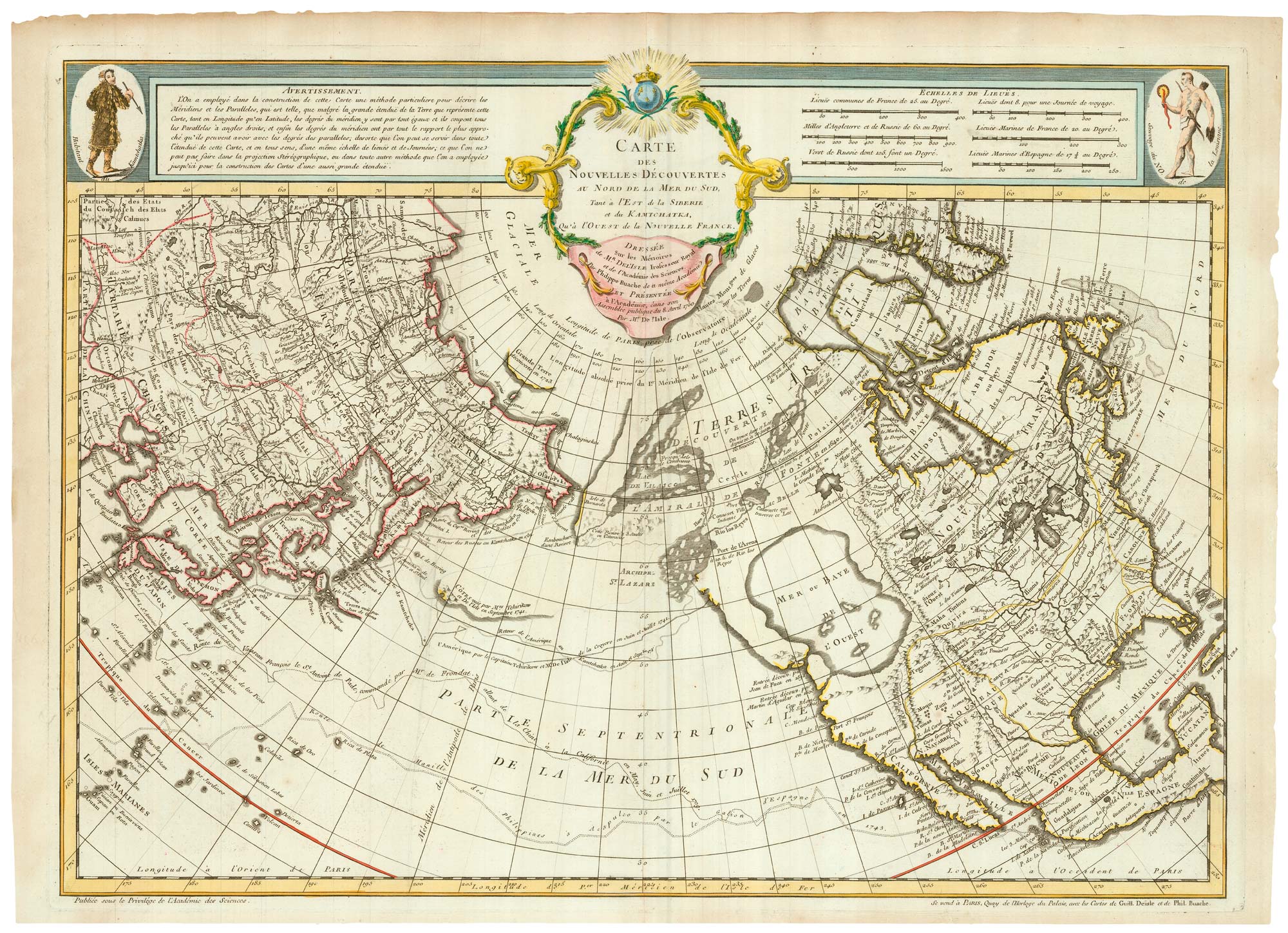
The first issue of an influential map, the first to show the 'Mer de l'Ouest'
BUACHE, Philippe. Date: 1752 Stock #: 24615 £4,500.00
[ti_wishlists_addtowishlist]
[ti_wishlists_addtowishlist]
[ti_wishlists_addtowishlist]
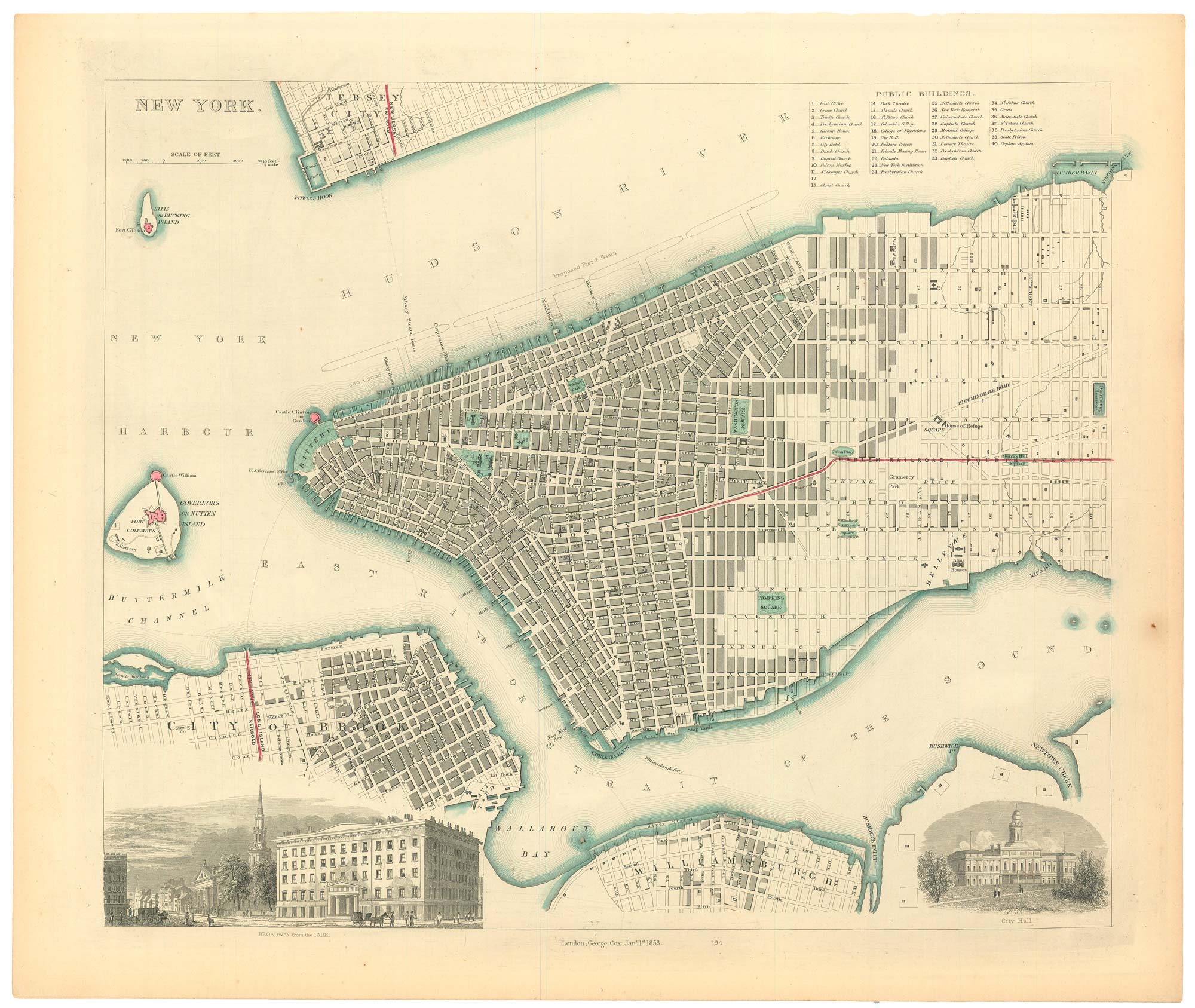
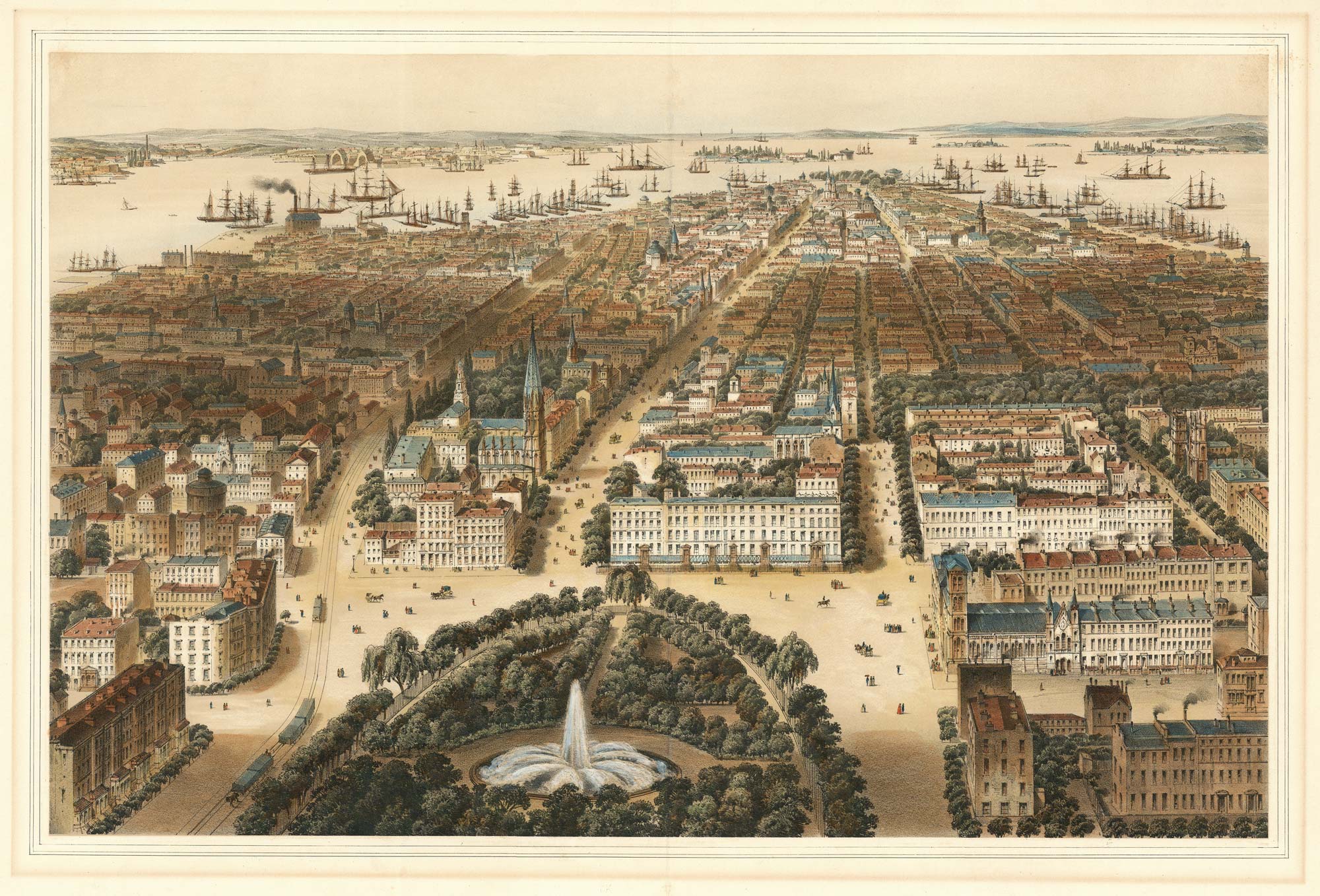
19th century town plan of New York
Society for the Diffusion of Useful Knowledge. Date: 1853 Stock #: 24871 £485.00
[ti_wishlists_addtowishlist]
