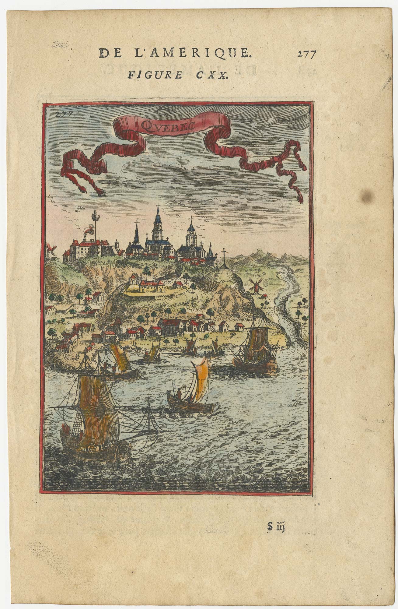


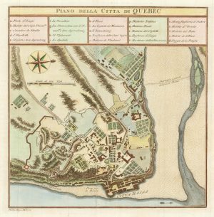
A 17th century prospect of Quebec
Quebec.
Paris, 1683. Coloured. 140 x 100mm, set in text.
£220.00
Description
A miniature view of Quebec from the St Lawrence River, published in the 'Description de l'Univers'
Condition:
A good example.Related products
-

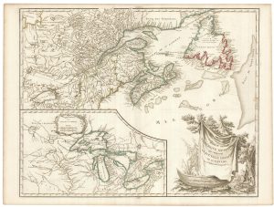
A French edition of an important map of the St Lawrence valley
CARVER, Jonathan. Date: 1777Stock #: 23477 £1,600.00 -
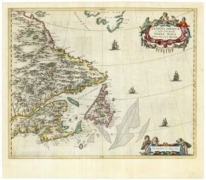
A scarce 17th century map of Newfoundland and Nova Scotia
BLAEU, Johannes. Date: 1662Stock #: 22716 £1,500.00 -
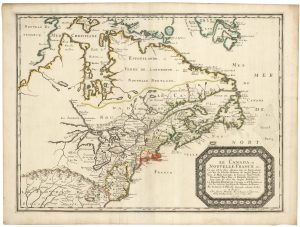
Sanson’s map of Canada with an early depiction of the Great Lakes
SANSON, Nicolas. Date: 1662Stock #: 23067 £4,750.00 -
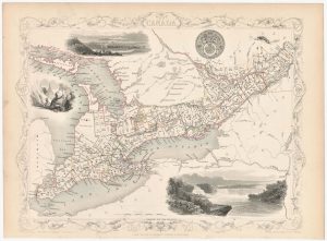
A mid 19th century map of West Canada with vignettes
TALLIS, John. Date: 1851Stock #: 23498 £160.00 -
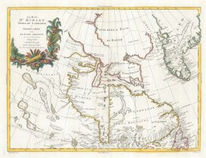
18th century map of Hudson Bay
ZATTA, Antonio. Date: 1778Stock #: 19023 £220.00 -
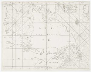
An early English chart of northern Canada with Hudson Bay
THORNTON, John. Date: 1748Stock #: 15550 £300.00 -
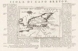
A 17th century map of Cape Breton Island
CORONELLI, Vincenzo Maria. Date: 1696Stock #: 21640 £160.00 -
An 18th century Italian plan of Quebec
GAZZETTIERE AMERICANO. Date: 1763Stock #: 22467 £250.00 -
A late 18th century map of Canada and the Great Lakes
ROBERT DE VAUGONDY, Didier. Date: 1793Stock #: 23279 £550.00
Items by the same author
[ti_wishlists_addtowishlist]
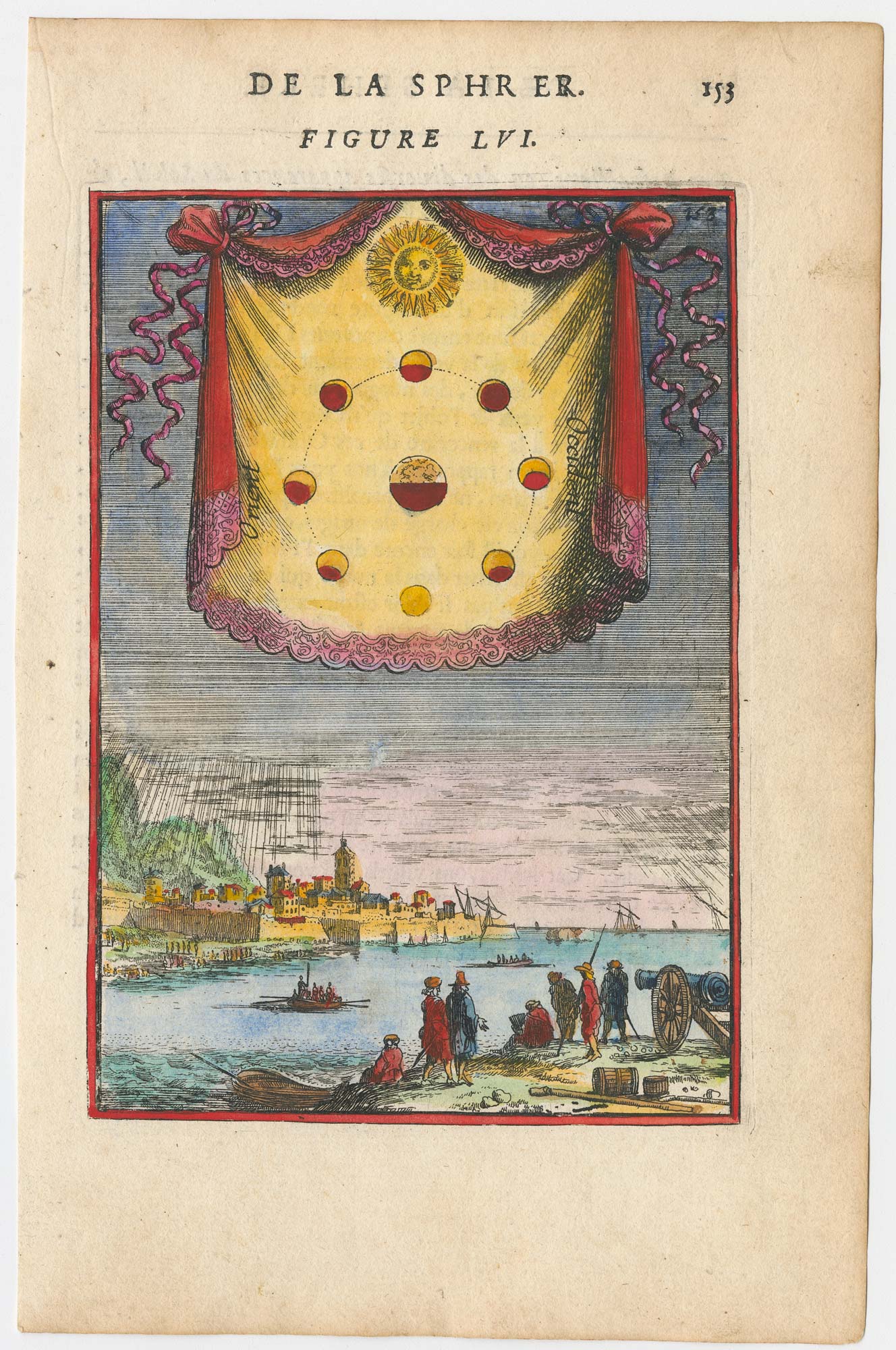
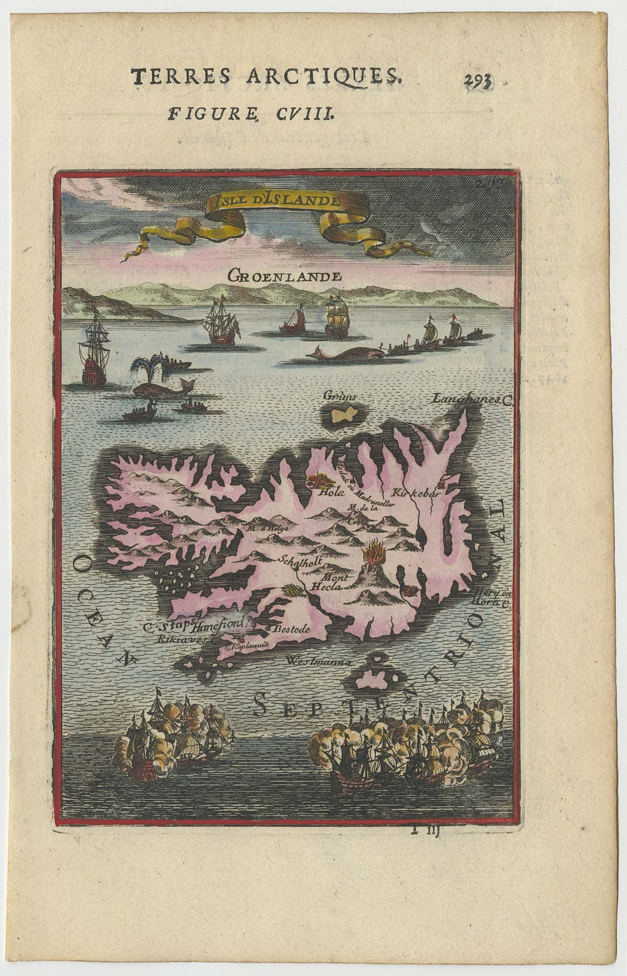
A 17th century plate illustrating the Moon phases
MALLET, Alain Manesson. Date: 1683 Stock #: 23933 £180.00
[ti_wishlists_addtowishlist]

A pair of 17th century celestial hemispheres
MALLET, Alain Manesson. Date: 1683 Stock #: 25073 £350.00
[ti_wishlists_addtowishlist]
[ti_wishlists_addtowishlist]
[ti_wishlists_addtowishlist]
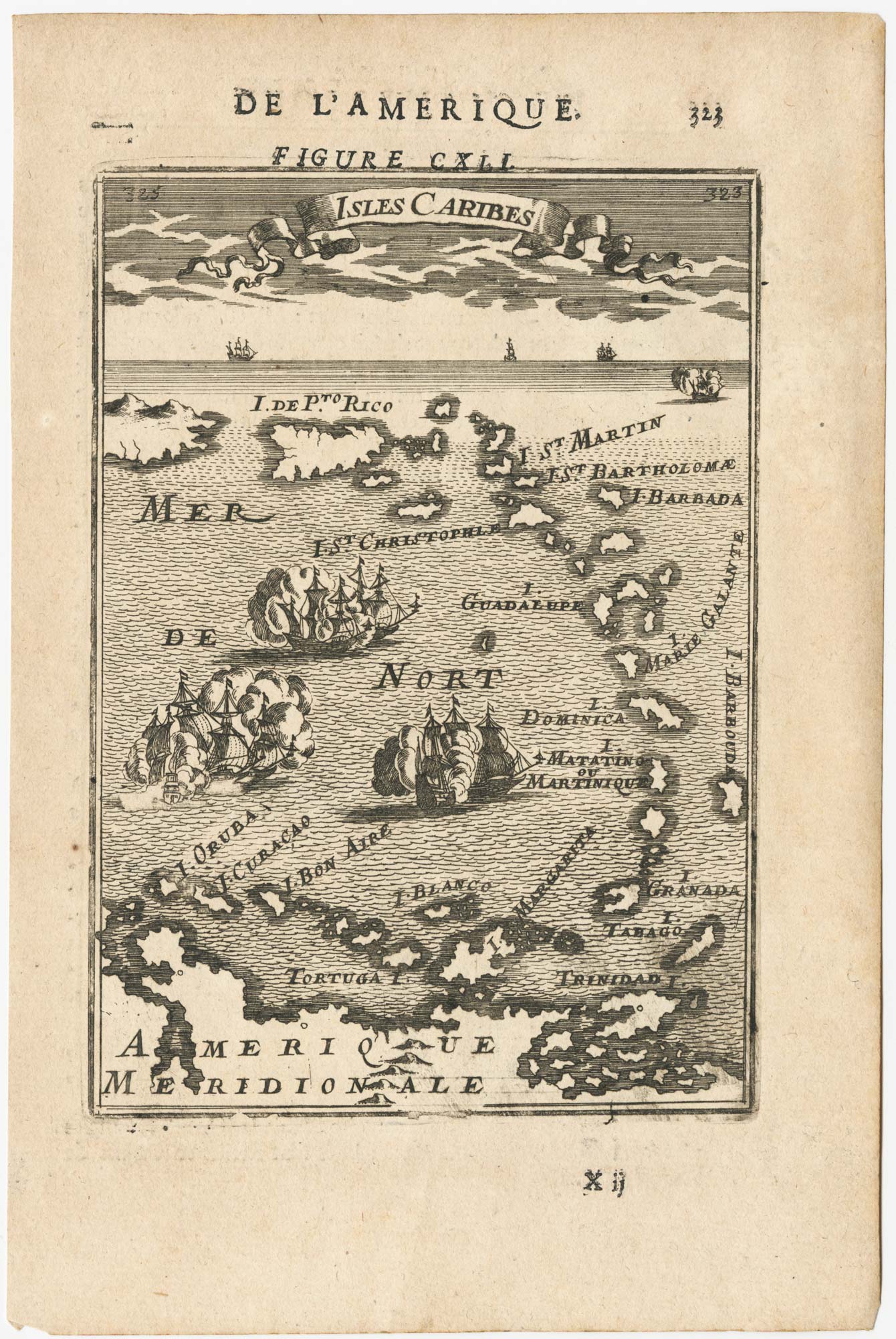
17th century miniature map of the Antilles
MALLET, Alain Manesson. Date: 1683 Stock #: 24840 £180.00
[ti_wishlists_addtowishlist]