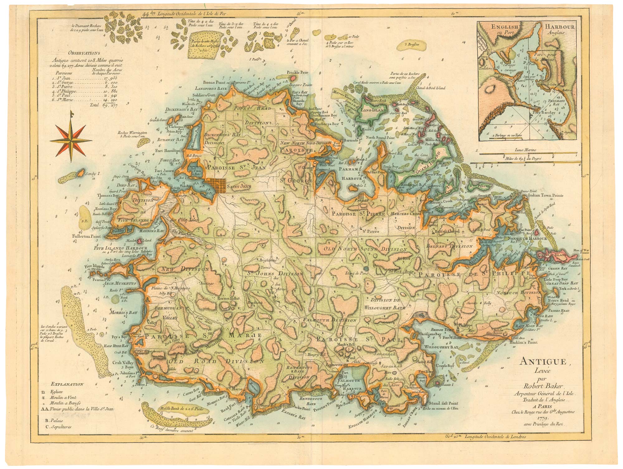


A Revolutionary War map of Antigua
Antigue, Levée par Robert Baker, Arpenteur Général de l'Isle. Traduit de l'Anglais...
Paris: Georges-Louis.Le Rouge, 1779. Coloured. 475 x 625mm.
£980.00
Description
A detailed map of Antigua surveyed by the Surveyor-General of the island, Robert Baker in 1746 and originally issued in Jefferys' 'West India Atlas in 1775. This French edition was published during the American Revolution, when France, fighting with the rebels, targeted British possessions in the West Indies.
Condition:
Trimmed within plate at top.Related products
-
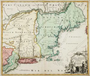
The English colonies on the north-east seaboard of America
HOMANN, Johann Baptist. Date: 1725Stock #: 11207 £1,450.00 -
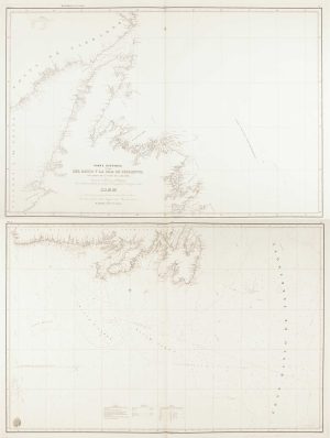
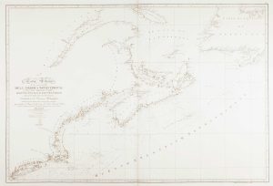
A scarce Spanish chart of Newfoundland
MORENO, Miguel. Date: 1860Stock #: 11852 £1,200.00 -
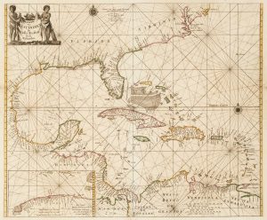
17th century sea-chart of the West Indies
GOOS, Pieter. Date: 1666Stock #: 11906 £2,500.00 -
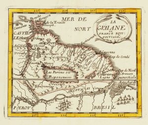
Miniature map of Guiana
DU VAL, Pierre. Date: 1682Stock #: 10856 £125.00 -
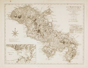
Map of 18th-century Martinique
JEFFERYS, Thomas. Date: 1779Stock #: 12317 £550.00 -
An uncommon Spanish sea chart of the Eastern Seaboard
NOGUERA, C. Date: 1860Stock #: 11859 £550.00 -
Campeche
ALLARD, Carel. Date: 1720Stock #: 9995 £50.00 -
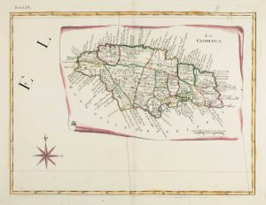
18th century Italian map of Jamaica
ZATTA, Antonio. Date: 1784Stock #: 9445 £380.00 -
A detailed American ‘blue-back’ sea chart of the Brazilian coastline
BLUNT, E. & G.W. Date: 1840Stock #: 10336 £1,200.00