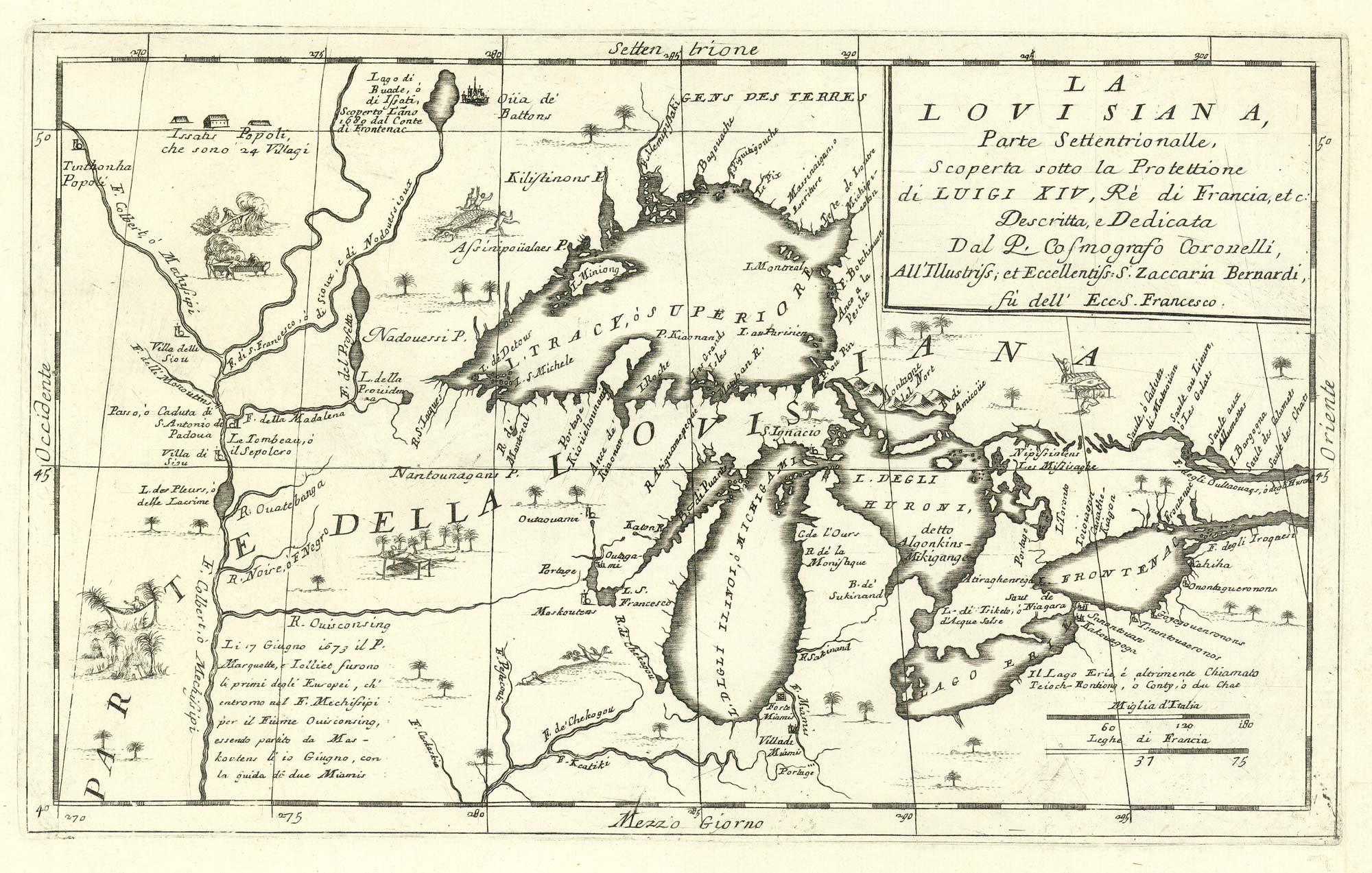


The first map to show the five Great Lakes
La Lovisiana, Parte Settentrionalle, Scoperta sotto la Prottettione di Luigi XIV, Rè di Francia, etc.
Venice, 1695. 265 x 425mm.
£4,400.00
1 in stock
x
Question About This Item?
The first map to show the five Great Lakes & CORONELLI, Vincenzo Maria.Stock #: 24767Similar to Sell?
Description
An important map of 'Upper Louisiana', containing tthe Great Lakes and the upper reaches of the Mississippi, with the river of 'Chakagou' marked. Vignettes around the map include a native in a hammock, burning out a canoe and an alligator eating a native.
Condition:
Bottom right margin restored.References:
KERSHAW: 163. GOSS: Mapping of North America, 45.Related products
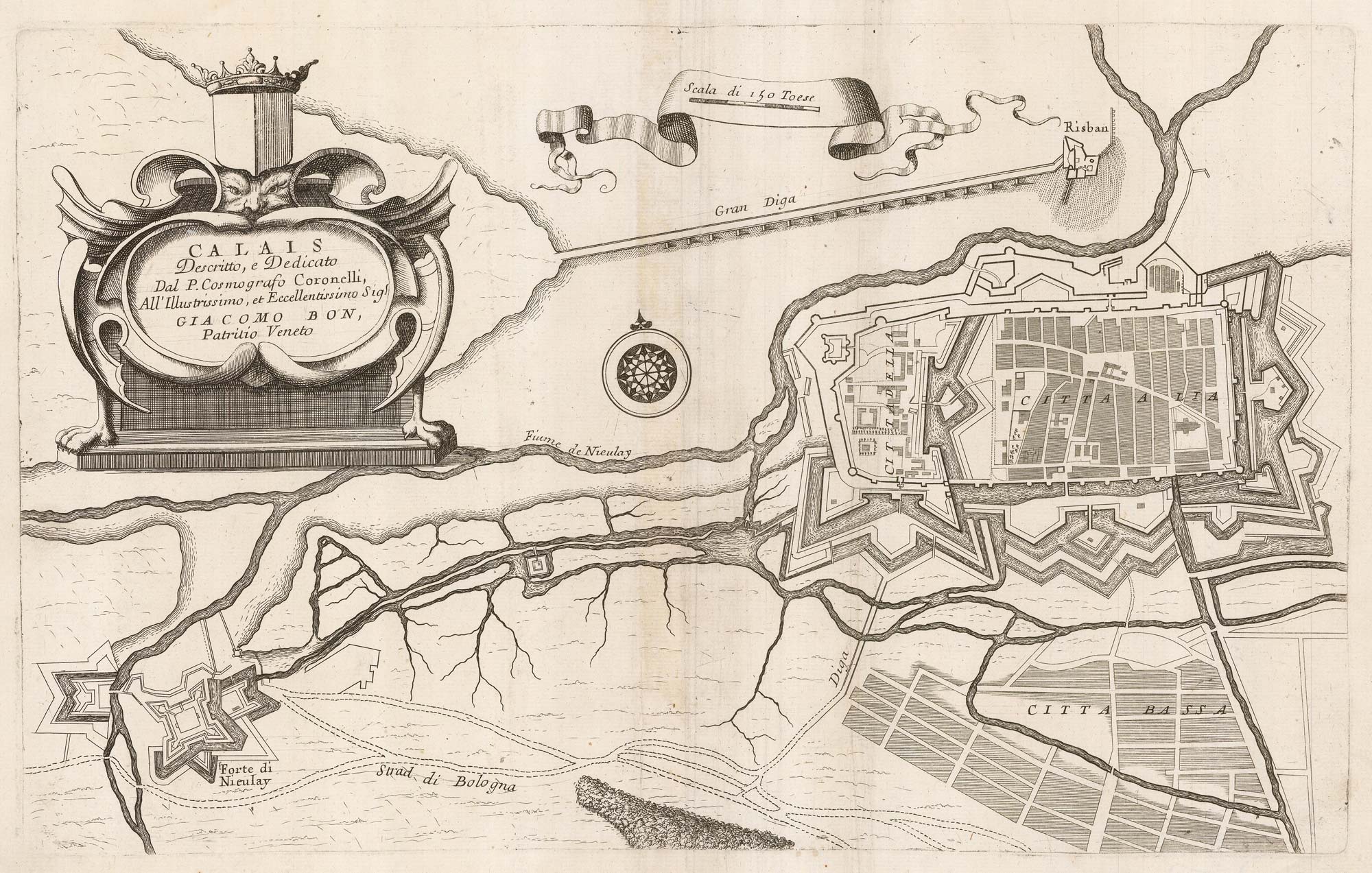
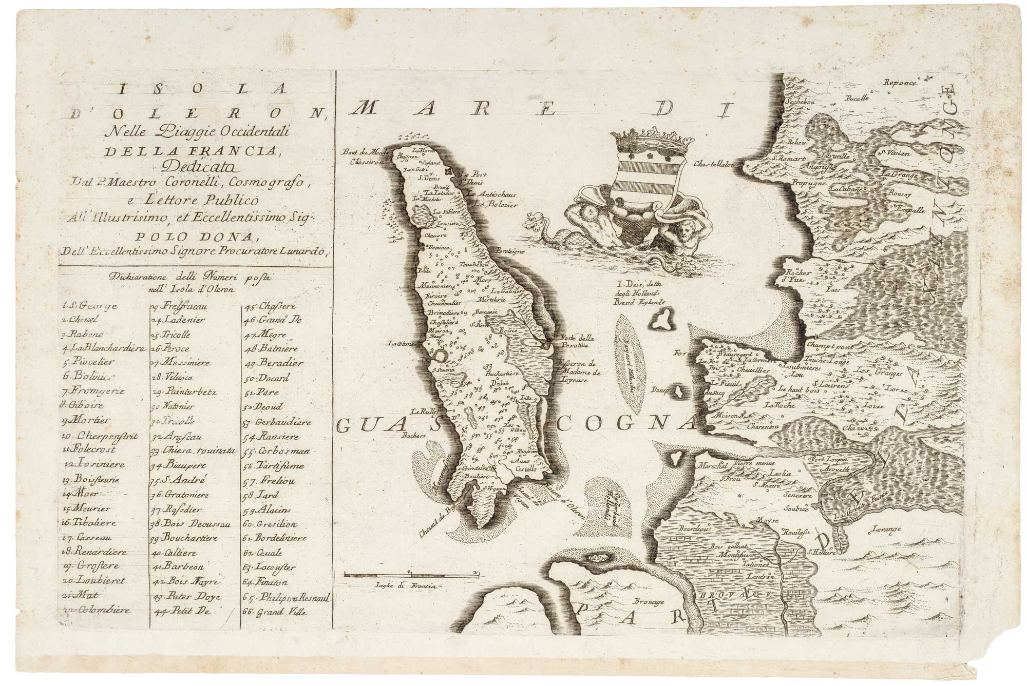
Items by the same author
[ti_wishlists_addtowishlist]
[ti_wishlists_addtowishlist]
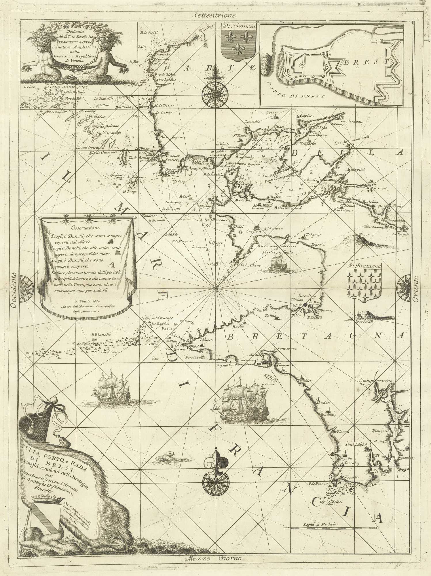
A decorative sea chart of the environs of Brest
CORONELLI, Vincenzo Maria. Date: 1689 Stock #: 21213 £550.00
[ti_wishlists_addtowishlist]
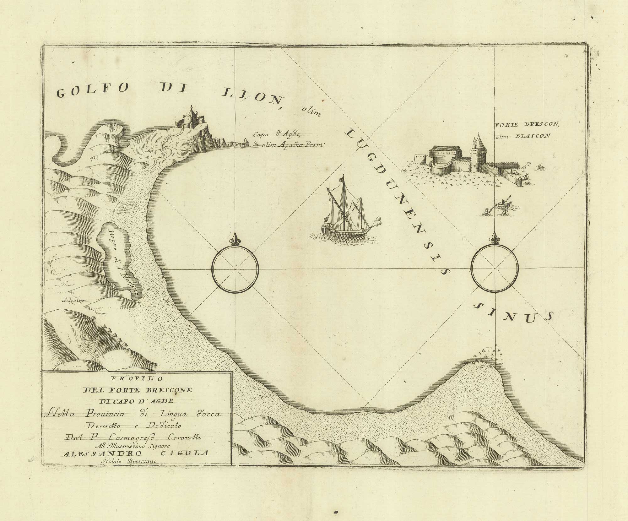
A sketch map of Cap d'Agde and Fort de Brescou
CORONELLI, Vincenzo Maria. Date: 1688 Stock #: 21226 £180.00
[ti_wishlists_addtowishlist]
[ti_wishlists_addtowishlist]
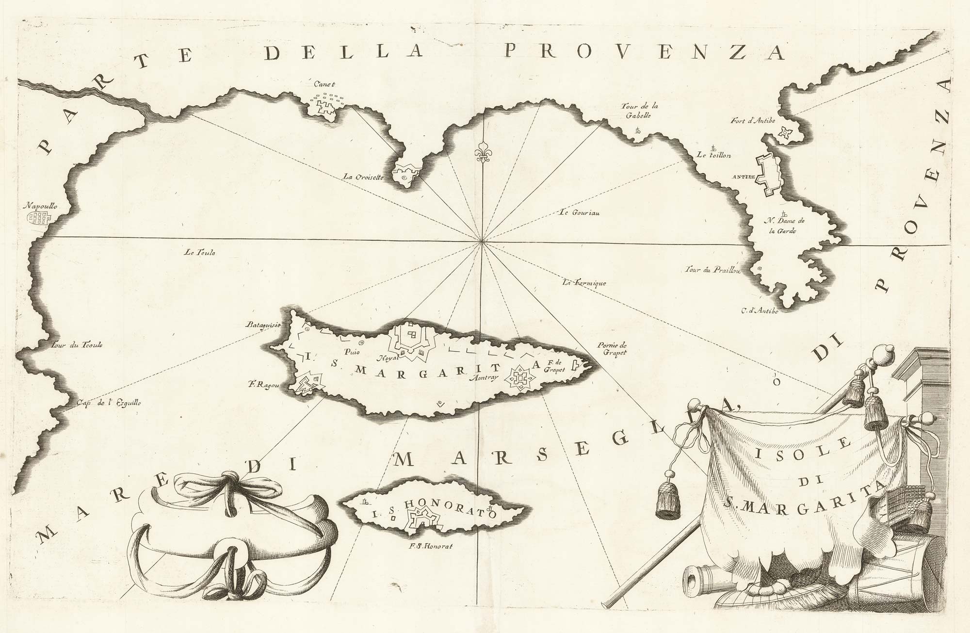
A map of Saint Marguerite with Cannes and Antibes
CORONELLI, Vincenzo Maria. Date: 1690 Stock #: 20625 £280.00
[ti_wishlists_addtowishlist]