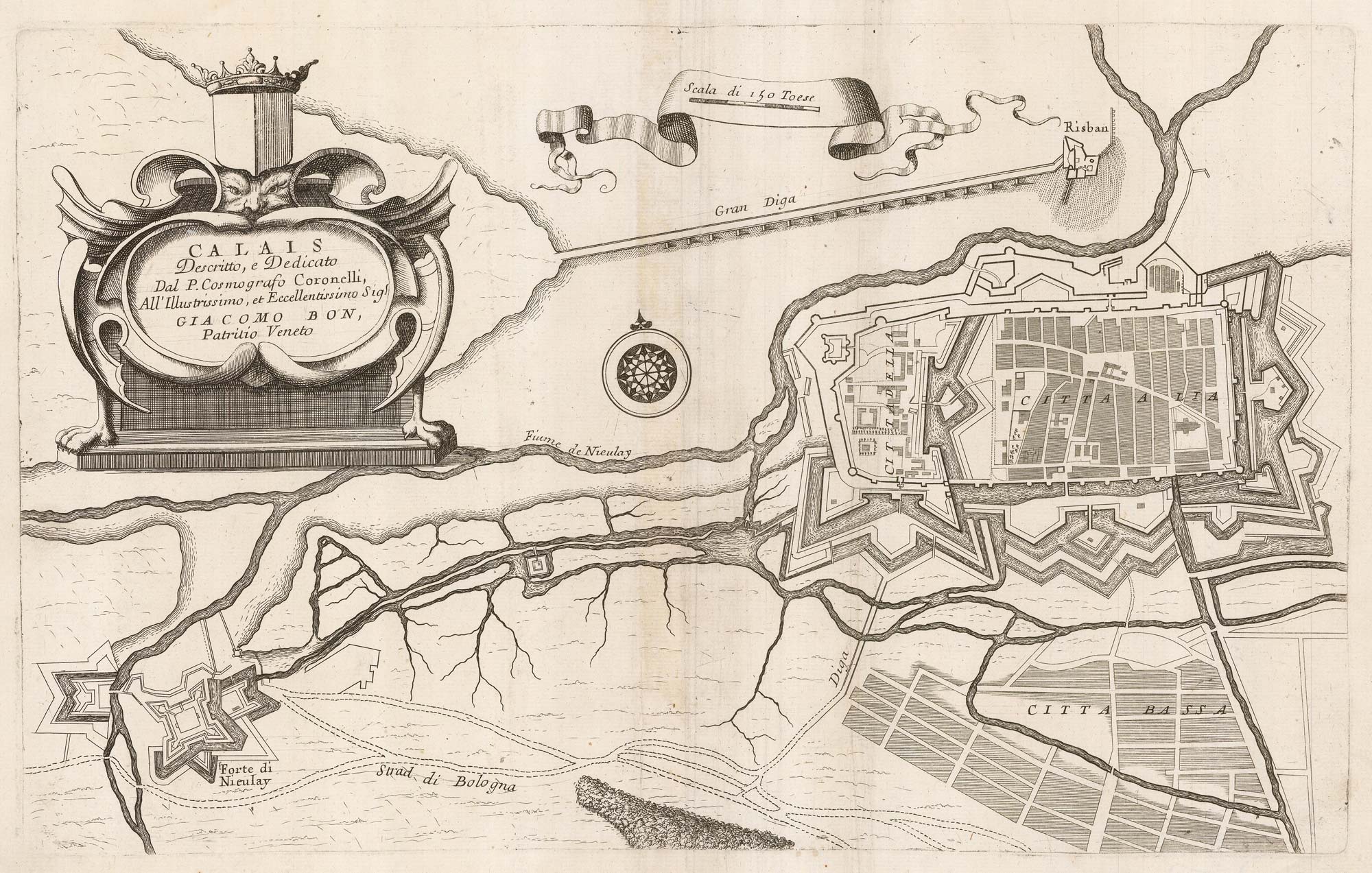


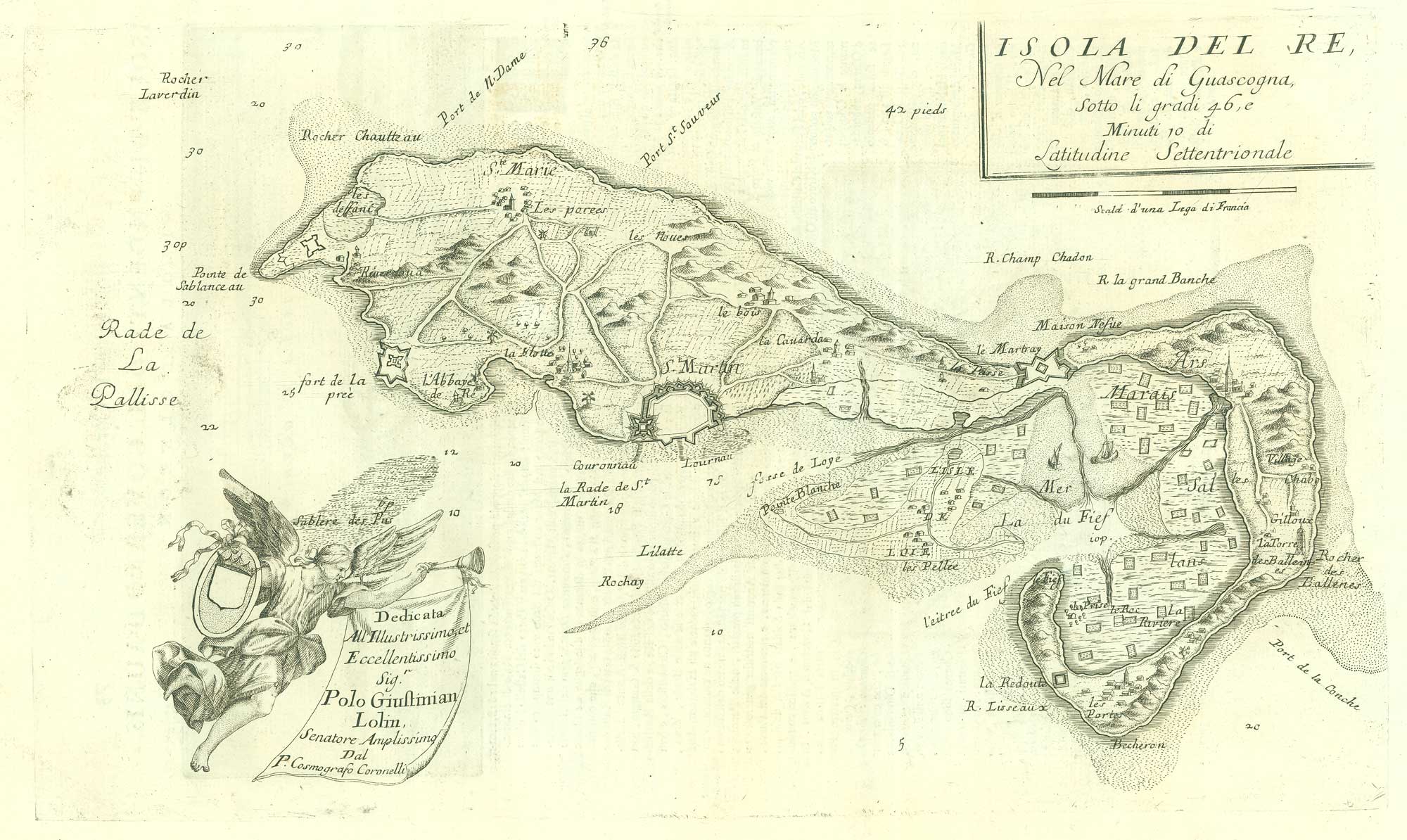
A 17th century plan of the defences of Calais
Calais.
Venice: Domenico Padovani, c.1689. 265 x 430mm.
£280.00
1 in stock
x
Question About This Item?
A 17th century plan of the defences of Calais & CORONELLI, Vincenzo Maria.Stock #: 21662Similar to Sell?
Description
A plan of Calais highlighting the defences, published in Coronelli's rare work, 'Citta fortezze e Isole,e porti principali dell'Europa'.
Condition:
A good example.Related products
-
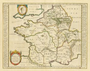
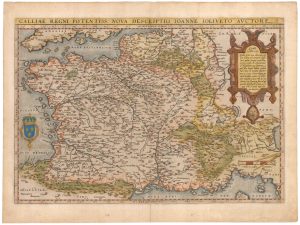
17th century Dutch map of Gaul after Ortelius
BLAEU, Willem Janszoon. Date: 1645Stock #: 25335 £250.00 -

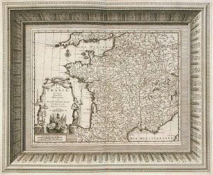
French Post Roads
LOTTER, Tobias Conrad. Date: 1750Stock #: 8713 £280.00 -
France
AA, Pieter van der. Date: 1715Stock #: 9943 £340.00 -
A decorative four-sheet map of France in fine colour
INSELIN, Charles. Date: 1713Stock #: 11666 £2,000.00 -
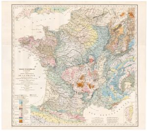
The index map of the first geological map of France
DUFRENOY, P.A. & ELIE DE BEAUMONT, J.B. Date: 1817Stock #: 22488 £650.00 -
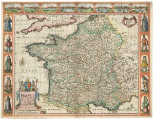
A 17th century English panelled map of France
SPEED, John. Date: 1665Stock #: 23995 £1,000.00 -
An early edition of Ortelius’s map of France
ORTELIUS, Abraham. Date: 1570Stock #: 23234 £650.00 -
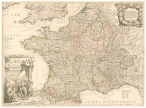
A rare four-sheet wall map of France dedicated to the Sun King
NOLIN, Jean Baptiste. Date: 1705Stock #: 19443 £2,200.00 -
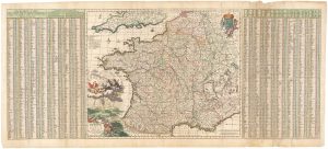
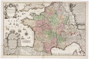
A 17th century map of France with rare gazzetteer side-panels
VISSCHER, Nicolas. Date: 1690Stock #: 23744 £750.00
Items by the same author
[ti_wishlists_addtowishlist]
[ti_wishlists_addtowishlist]
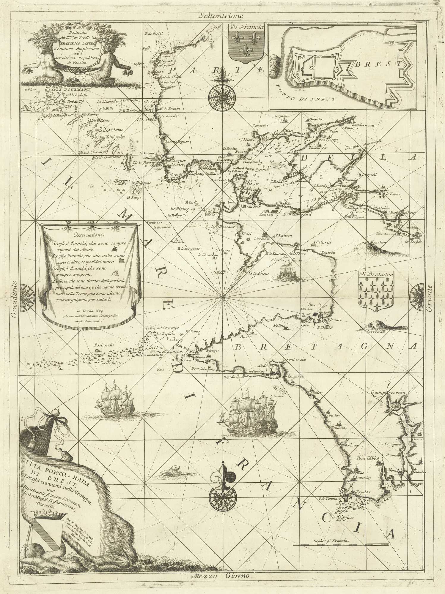
A decorative sea chart of the environs of Brest
CORONELLI, Vincenzo Maria. Date: 1689 Stock #: 21213 £550.00
[ti_wishlists_addtowishlist]
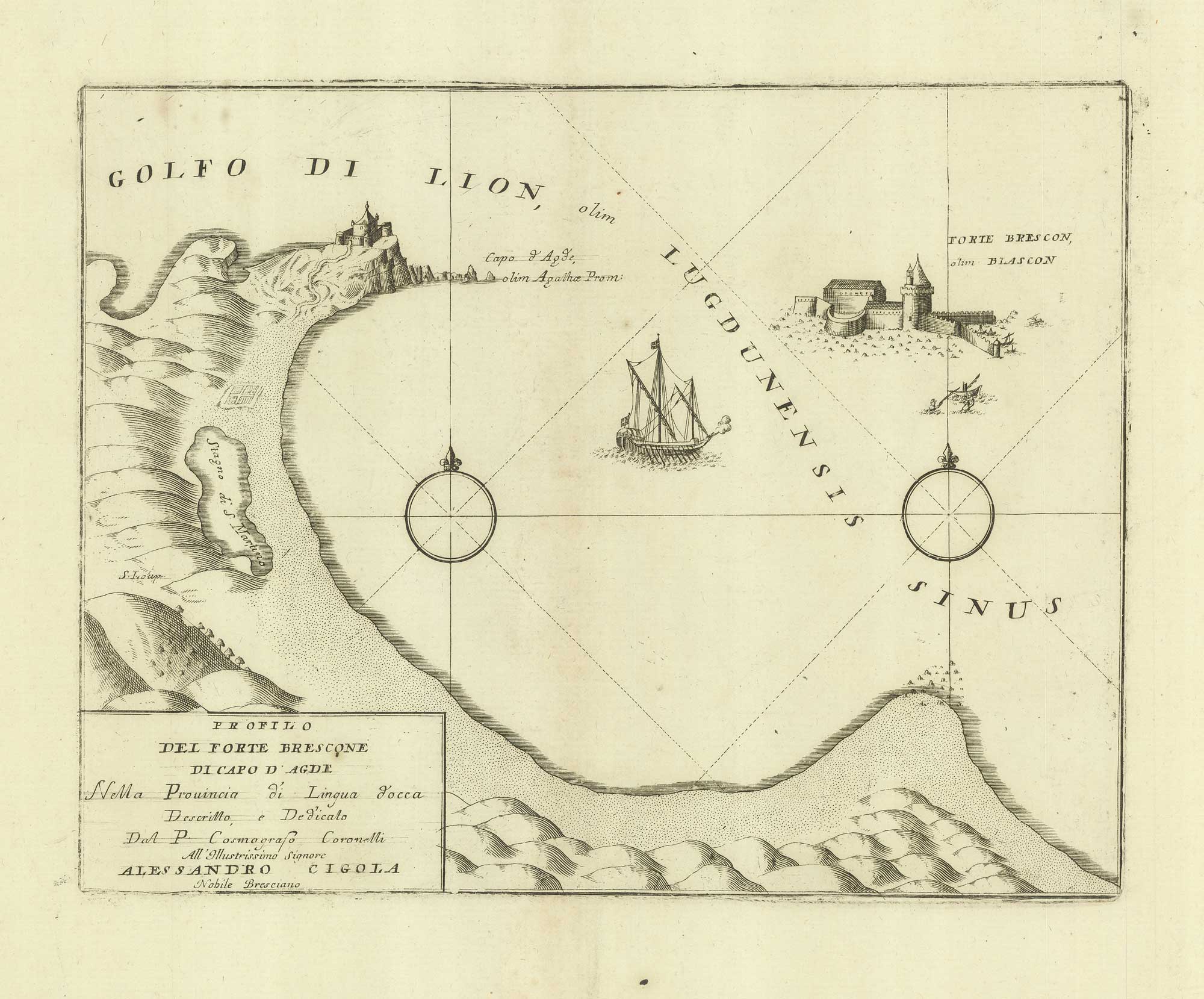
A sketch map of Cap d'Agde and Fort de Brescou
CORONELLI, Vincenzo Maria. Date: 1688 Stock #: 21226 £180.00
[ti_wishlists_addtowishlist]
[ti_wishlists_addtowishlist]
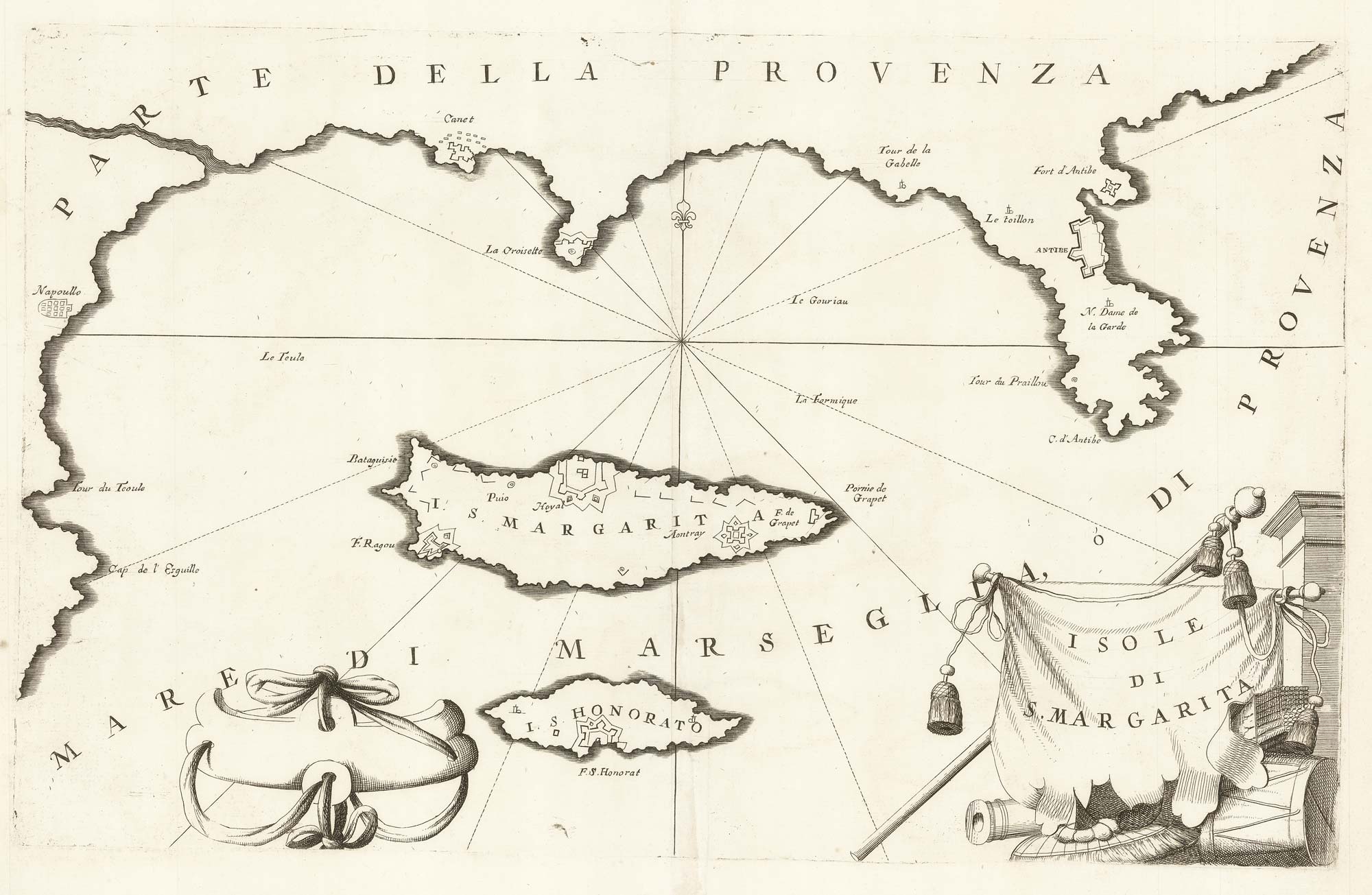
A map of Saint Marguerite with Cannes and Antibes
CORONELLI, Vincenzo Maria. Date: 1690 Stock #: 20625 £280.00
[ti_wishlists_addtowishlist]
