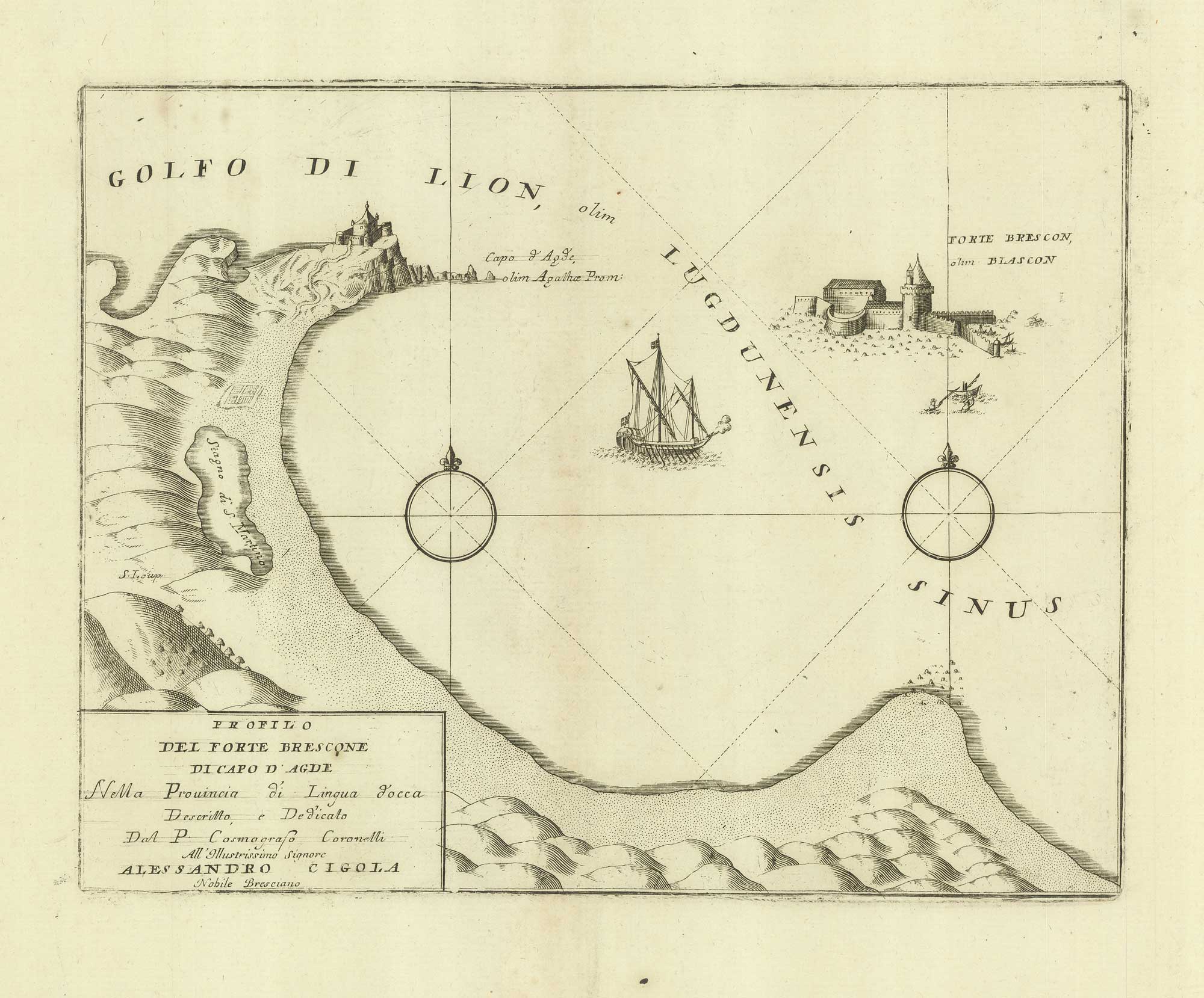


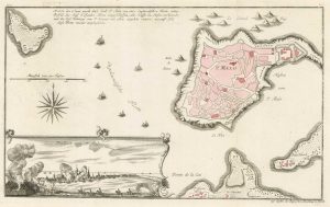
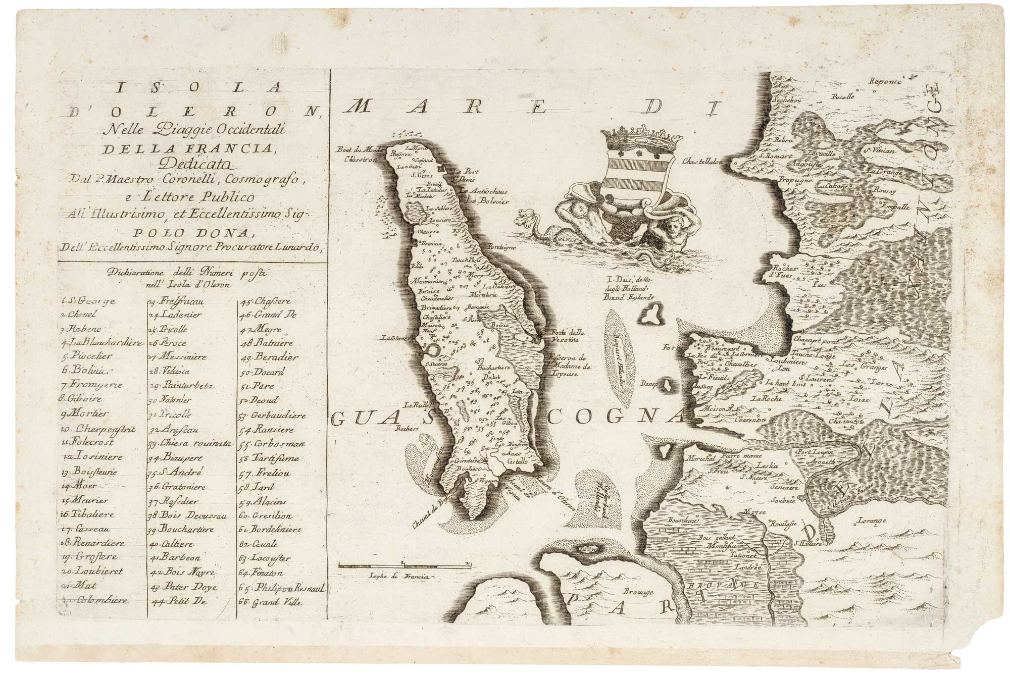
A sketch map of Cap d’Agde and Fort de Brescou
Profilo del Forte Brescone di Capo d'Agde.
Venice, c.1688. 230 x 295mm.
£180.00
1 in stock
x
Question About This Item?
A sketch map of Cap d’Agde and Fort de Brescou & CORONELLI, Vincenzo Maria.Stock #: 21226Similar to Sell?
Description
A map showing the Fort de Brescou off the coast of France near Agde, Hérault. Built in the 1680s, it was used as a prison
Condition:
A good example.Related products
-
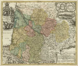
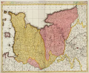
A map of Aquitaine in fine colour
HOMANN, Johann Baptist. Date: 1720Stock #: 21233 £350.00 -
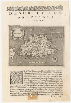
A 16th century map of Corsica
PORCACCHI, Tomaso. Date: 1590Stock #: 23212 £260.00 -
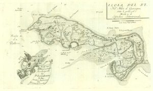
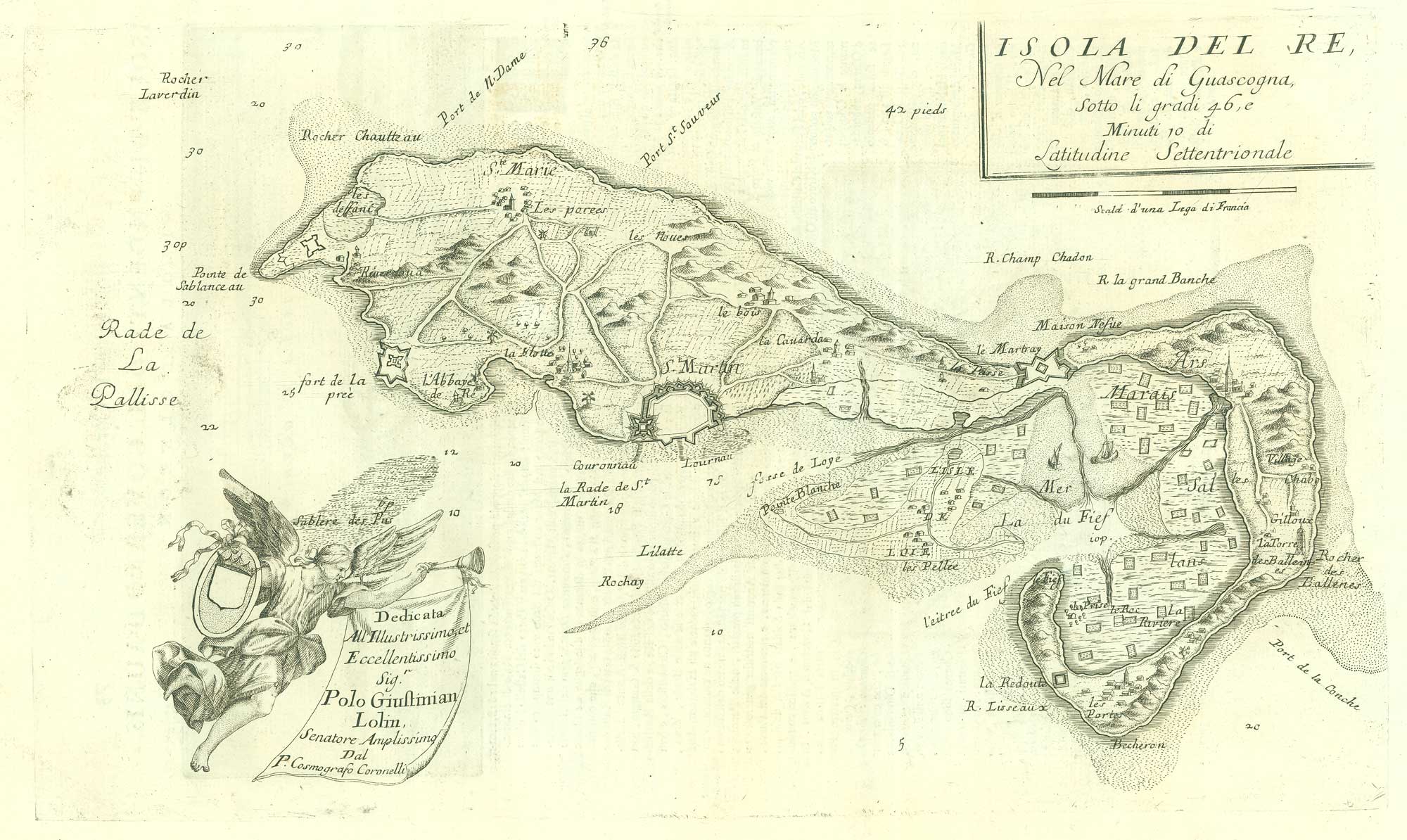
17th century map of the Ile de Ré
CORONELLI, Vincenzo Maria. Date: 1690Stock #: 19540 £260.00 -
The British ‘Descent’ on St Malo during the Seven Years’ War
RASPE, Gabriel Nikolaus. Date: 1760Stock #: 18856 £250.00 -
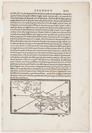
The first printed map of Corsica
BORDONE, Benedetto. Date: 1534Stock #: 11217 £800.00 -
A 16th century miniature map of northern Picardy
LANGENES, Barent. Date: 1599Stock #: 21145 £60.00 -
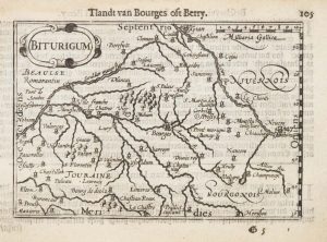
A 16th century miniature map of Berry
LANGENES, Barent. Date: 1599Stock #: 21135 £55.00 -
Early 18th century map of Normandy in fine colour
VALK, Gerard & Leonard. Date: 1700Stock #: 15399 £250.00 -
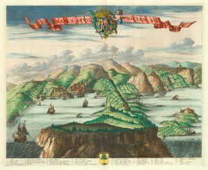
A scarce 17th century prospect of Villefranche-sur-Mer
BLAEU, Johannes. Date: 1682Stock #: 24159 £1,500.00
Items by the same author
[ti_wishlists_addtowishlist]
[ti_wishlists_addtowishlist]
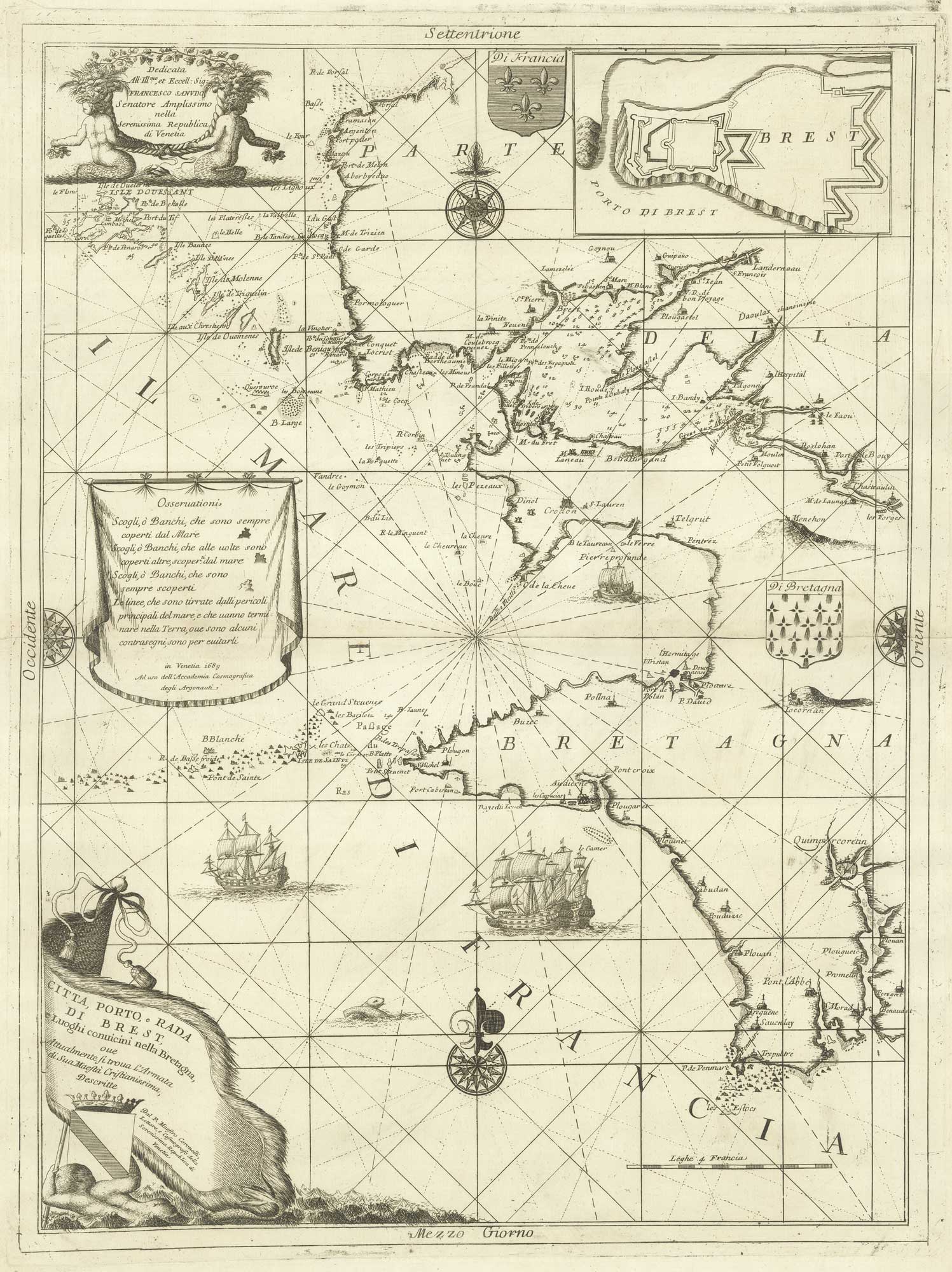
A decorative sea chart of the environs of Brest
CORONELLI, Vincenzo Maria. Date: 1689 Stock #: 21213 £550.00
[ti_wishlists_addtowishlist]
[ti_wishlists_addtowishlist]
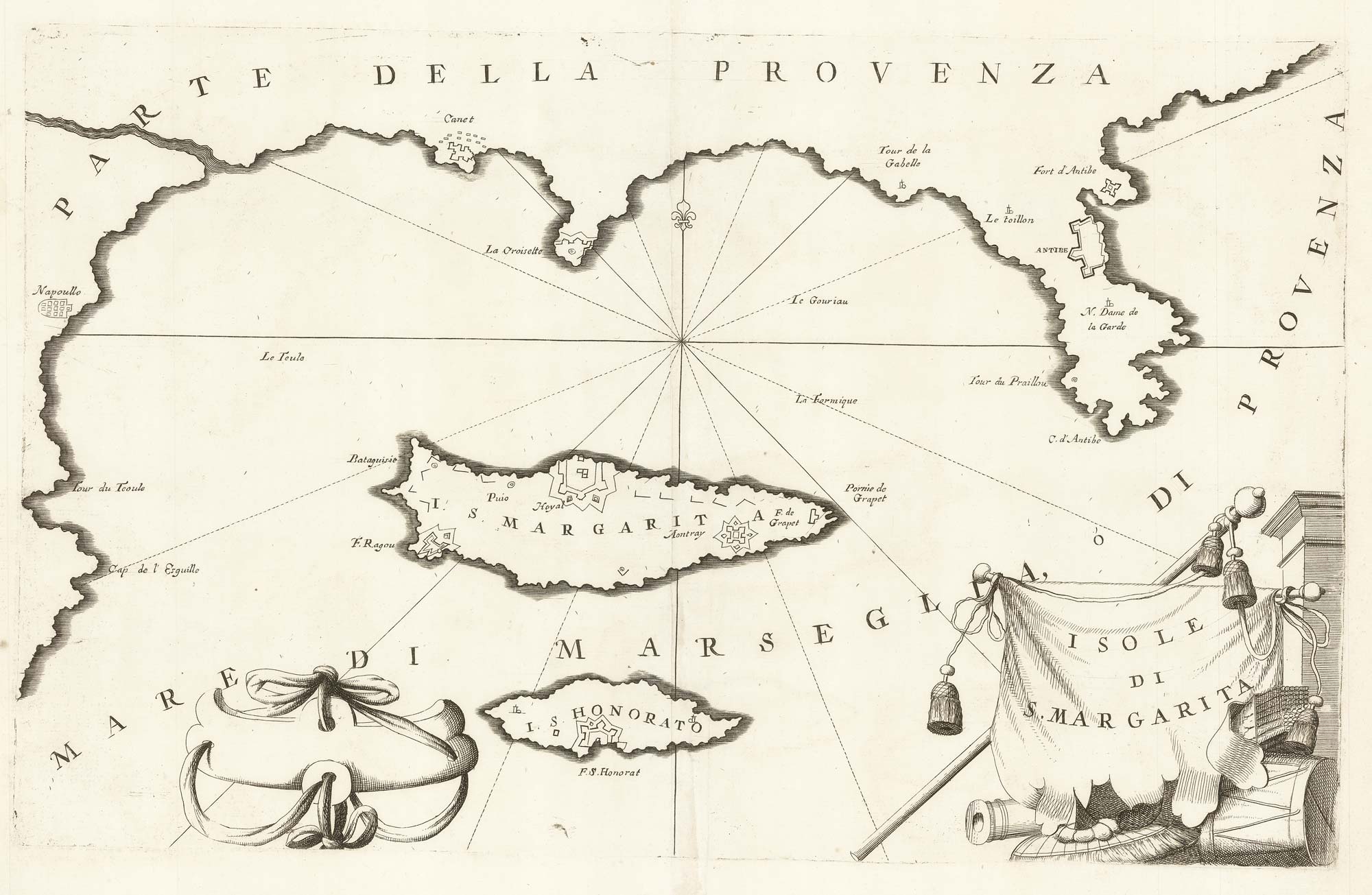
A map of Saint Marguerite with Cannes and Antibes
CORONELLI, Vincenzo Maria. Date: 1690 Stock #: 20625 £280.00
[ti_wishlists_addtowishlist]
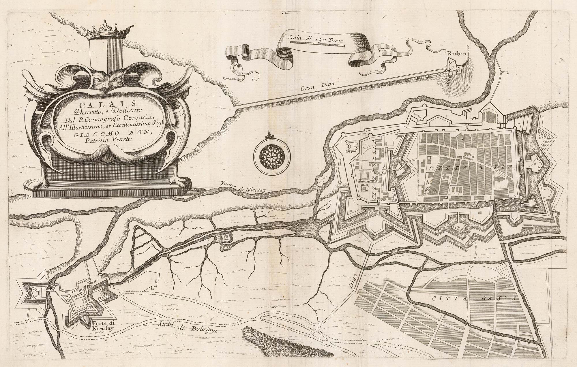
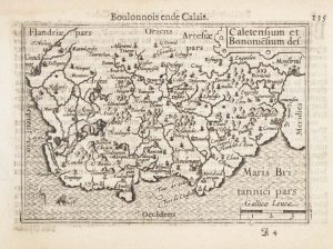
A 17th century plan of the defences of Calais
CORONELLI, Vincenzo Maria. Date: 1689 Stock #: 21662 £280.00
[ti_wishlists_addtowishlist]
