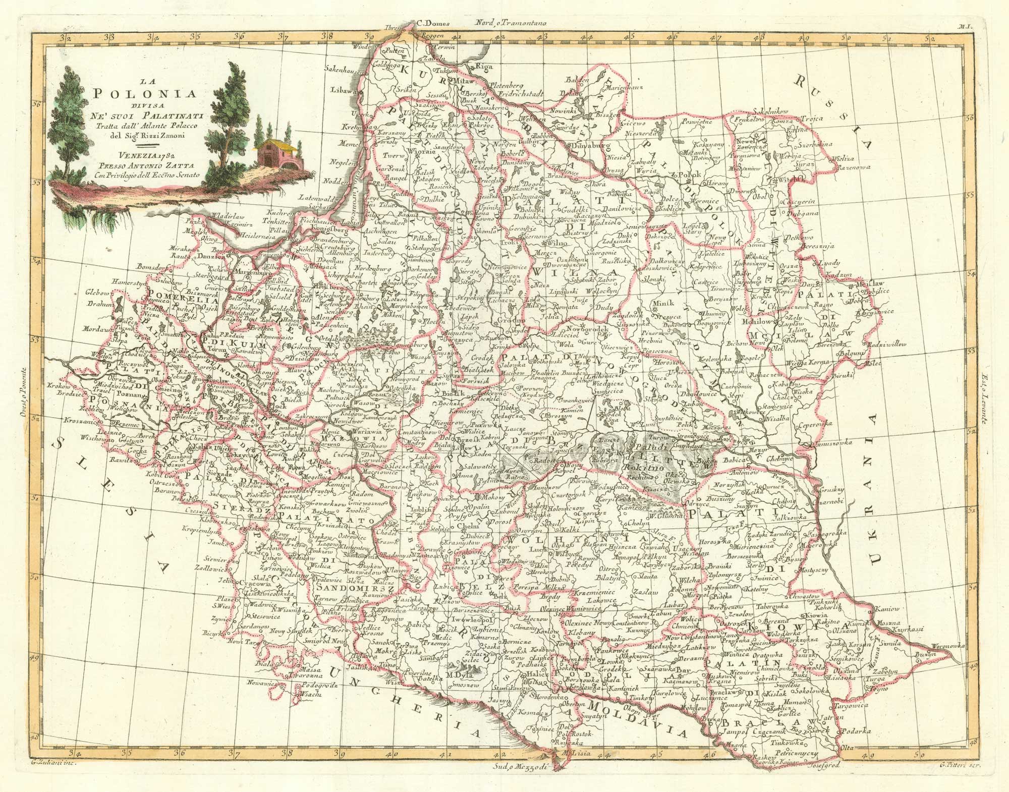


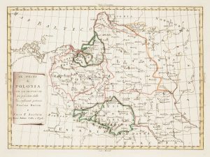
An 18th century Italian map of Poland
La Polonia Divisa Ne' Suoi Palatinati Tratta dall' Atlante Polacco del Sig.r Rizzi Zannoni.
Venice, 1782. Original colour. 325 x 420mm.
£320.00
Description
A map of Poland, based upon the work of Antonio Rizzi Zannoni and published in Zatta's 'Atlante Nuovissimo'. Engraved by Pitteri.
Condition:
A good example.Related products
-
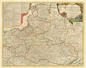
A scarce 18th century map of the Polish-Lithuanian Commonwealth
NOLIN, Jean Baptiste jnr. Date: 1742Stock #: 24544 £950.00 -
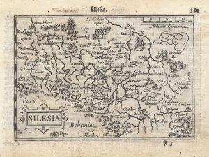
A 16th century miniature map of Silesia
LANGENES, Barent. Date: 1599Stock #: 21325 £160.00 -
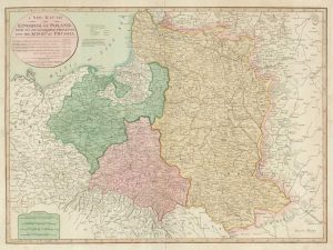
Map of the Partitions of Poland
LAURIE & WHITTLE. Date: 1799Stock #: 19028 £450.00 -
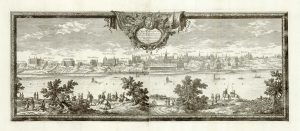
A prospect of 17th century Warsaw on two sheets
DAHLBERGH, Erik Jonsson. Date: 1696Stock #: 25083 £1,250.00 -
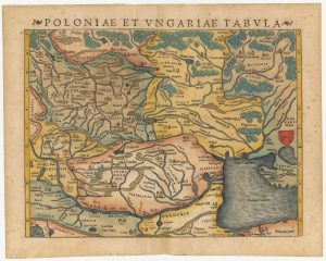
A 16th century woodcut map of Poland, Lithuania and Hungary
MUNSTER, Sebastian. Date: 1572Stock #: 24574 £700.00 -
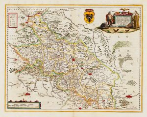
Detailed map of Silesia
JANSSON, Jan. Date: 1645Stock #: 14909 £450.00 -
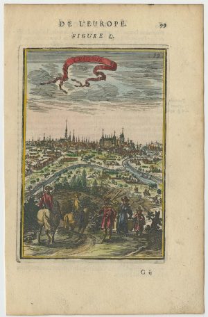
A 17th century prospect of Krakow
MALLET, Alain Manesson. Date: 1683Stock #: 24768 £250.00 -
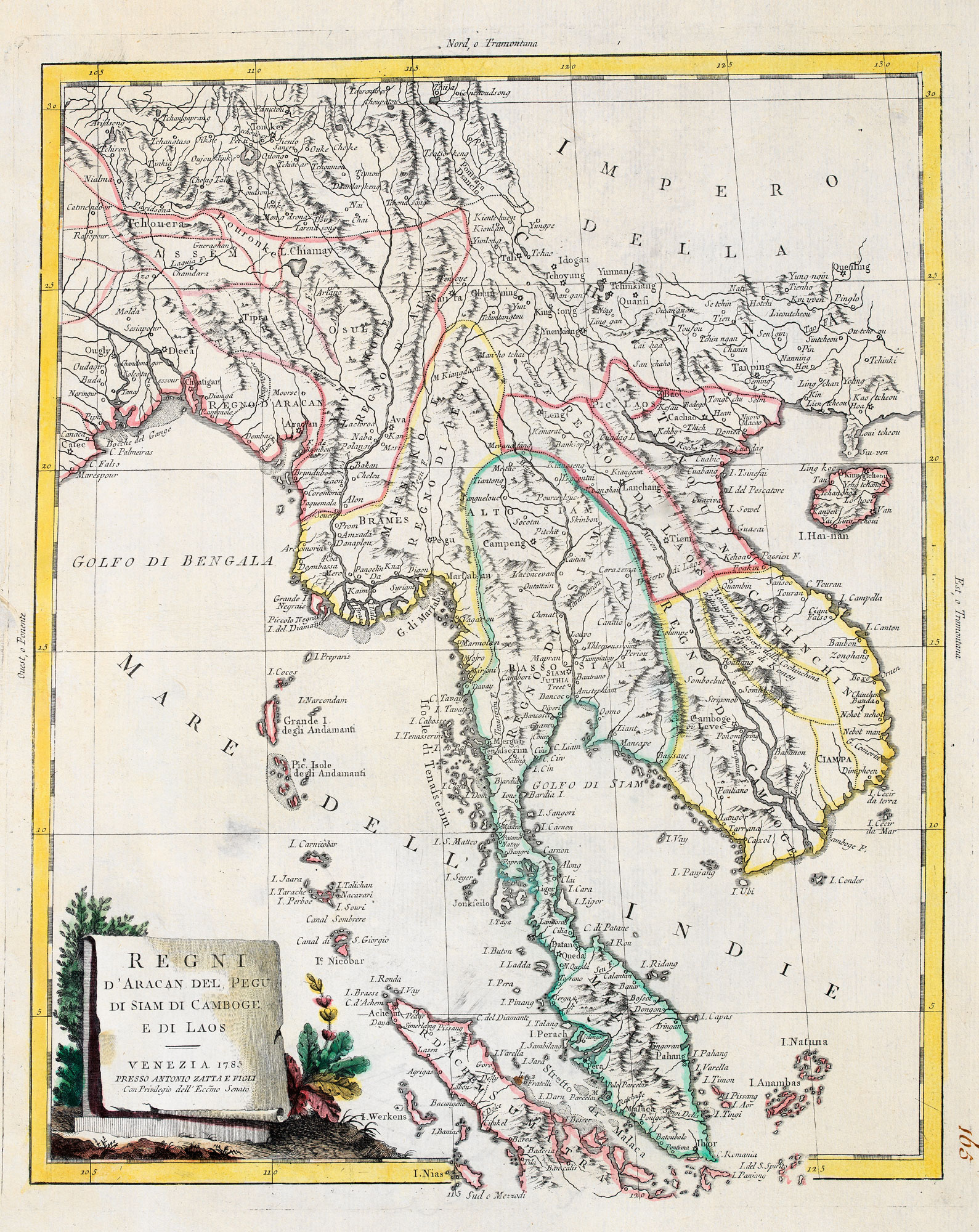
Uncommon map of Poland with the First Partition
ZATTA, Antonio. Date: 1780Stock #: 13853 £160.00 -
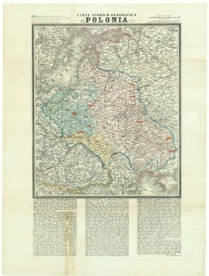
A map of the Partition of Poland
VALLARDI, Antonio. Date: 1863Stock #: 20570 £700.00
Items by the same author
[ti_wishlists_addtowishlist]
[ti_wishlists_addtowishlist]
[ti_wishlists_addtowishlist]
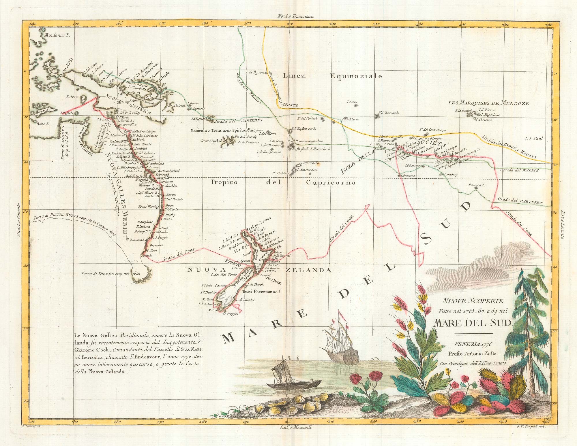
Map of Australia and New Zealand after Cook's First Voyage to the Pacific
ZATTA, Antonio. Date: 1776 Stock #: 24599 £1,000.00
[ti_wishlists_addtowishlist]
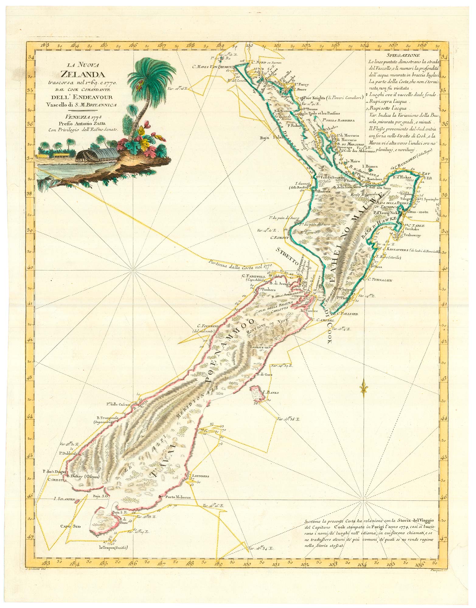
Zatta's important map showing Cook's charting of New Zealand
ZATTA, Antonio. Date: 1778 Stock #: 24601 £1,750.00
[ti_wishlists_addtowishlist]

[ti_wishlists_addtowishlist]