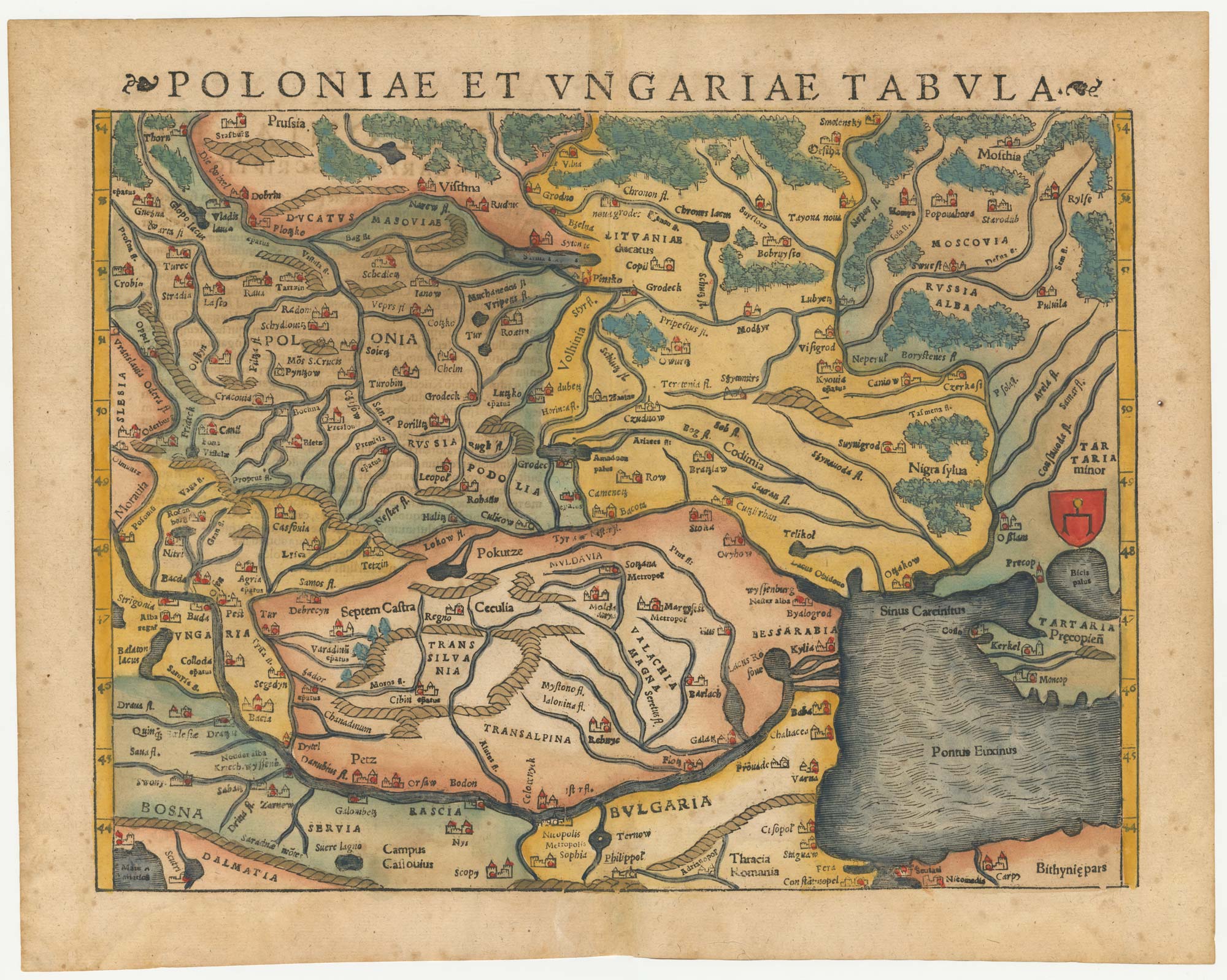


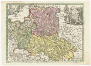
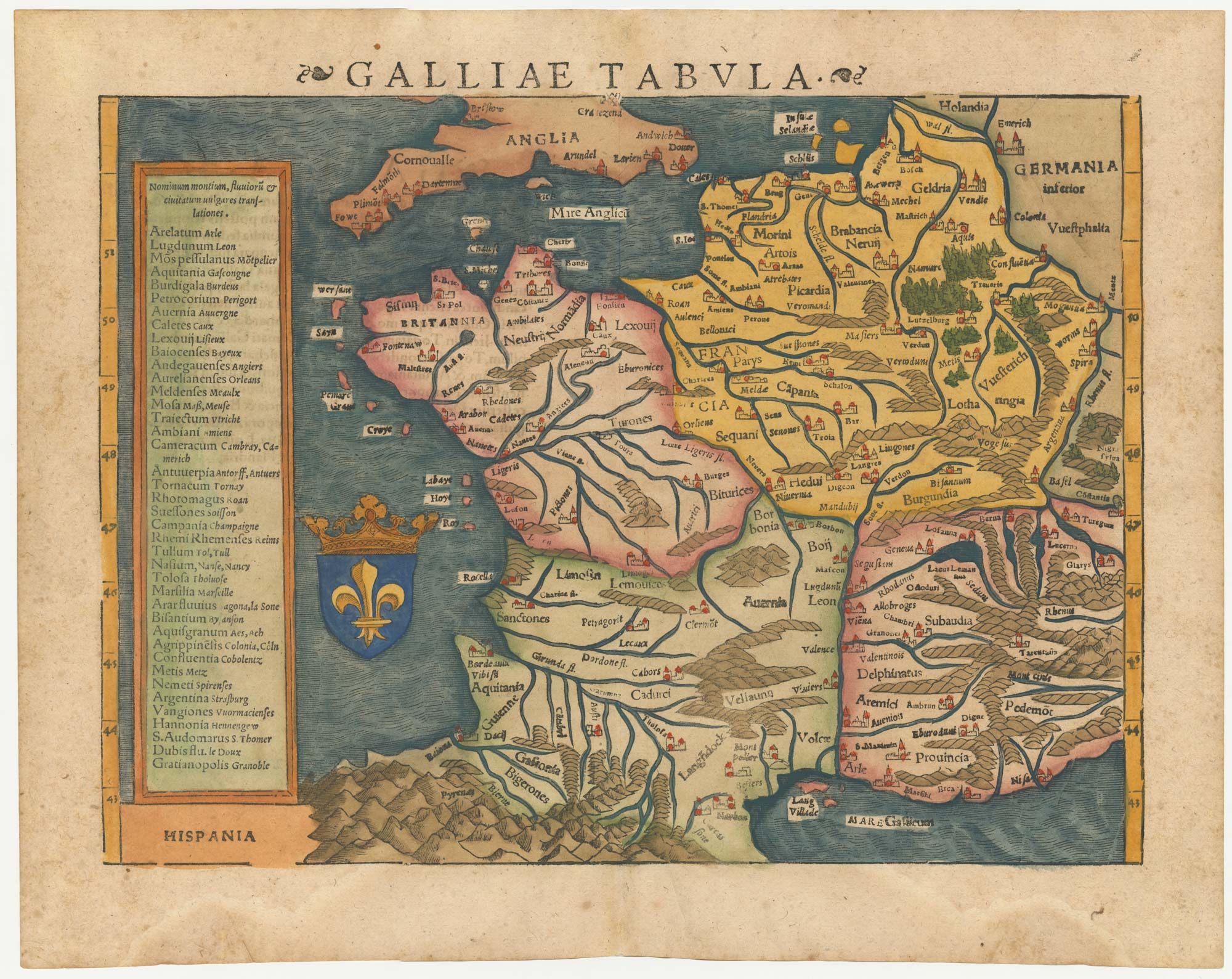
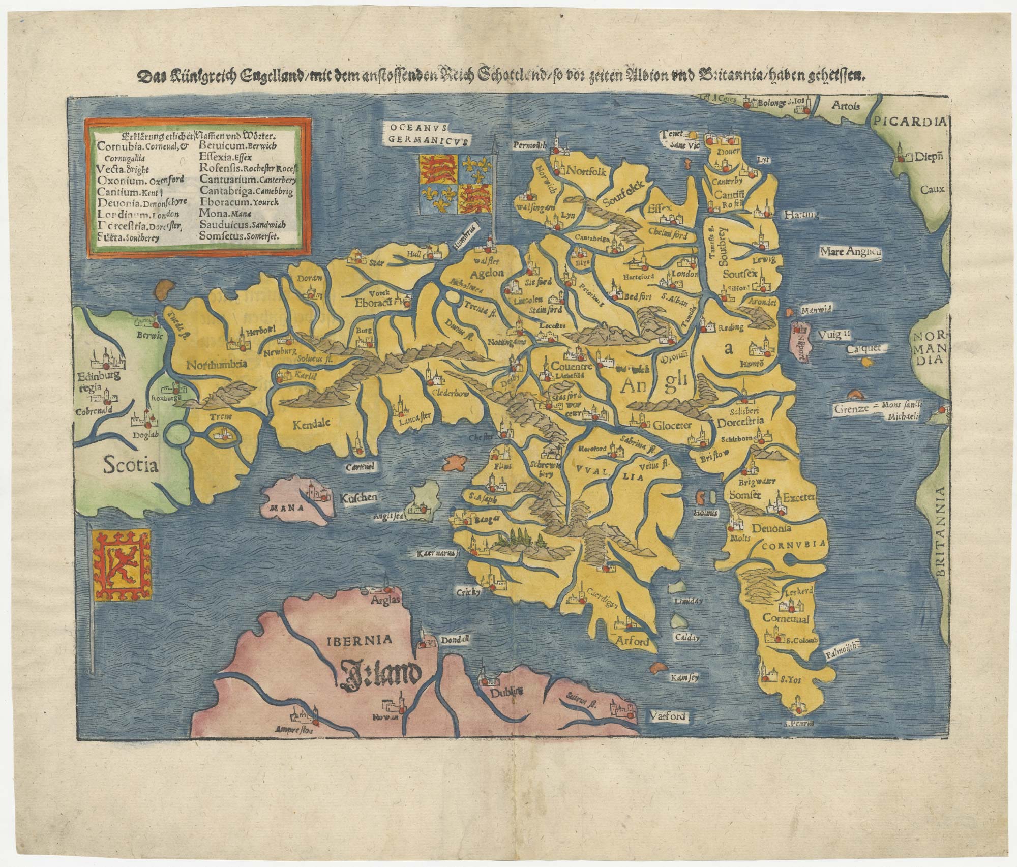
A 16th century woodcut map of Poland, Lithuania and Hungary
Poloniae et Ungariae Tabula.
Basle, 1572. Coloured woodcut, printed area 275 x 350mm.
£700.00
1 in stock
x
Question About This Item?
A 16th century woodcut map of Poland, Lithuania and Hungary & MUNSTER, Sebastian.Stock #: 24574Similar to Sell?
Description
An early map of eastern Europe, covering from Prussia and Moscow south to the Danube, the Black Sea and Constantinople.
From Munster's 'Cosmographia'.
Condition:
A good example.Related products
-
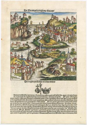
An incunable ‘view’ of Poland
SCHEDEL, D. Hartmann. Date: 1493Stock #: 23232 £650.00 -
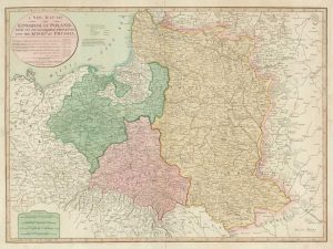
Map of the Partitions of Poland
LAURIE & WHITTLE. Date: 1799Stock #: 19028 £450.00 -

An atlas of the Partitioning of Poland
CHODZKO, Leonard & DUFOUR, Auguste-Henri. Date: 1832Stock #: 21937 £1,800.00 -
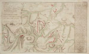
The Battle of Burkersdorf during the Seven Years’ War
RASPE, Gabriel Nikolaus. Date: 1762Stock #: 12939 £250.00 -
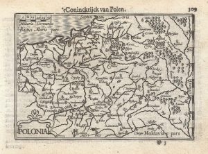
A 16th century miniature map of Poland
LANGENES, Barent. Date: 1599Stock #: 21314 £250.00 -
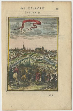
A 17th century prospect of Krakow
MALLET, Alain Manesson. Date: 1683Stock #: 24768 £250.00 -
18th century map of Poland & Lithuania
SEUTTER, Matthaus. Date: 1740Stock #: 24690 £250.00 -
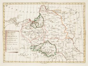
Uncommon map of Poland with the First Partition
ZATTA, Antonio. Date: 1780Stock #: 13853 £160.00 -
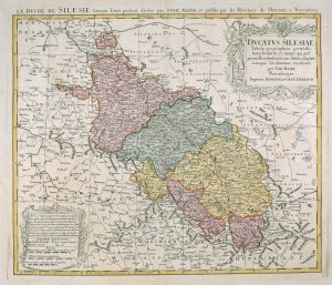
18th century map of Silesia
MAYER, Tobias. Date: 1751Stock #: 17592 £380.00
Items by the same author
[ti_wishlists_addtowishlist]
[ti_wishlists_addtowishlist]
[ti_wishlists_addtowishlist]
[ti_wishlists_addtowishlist]