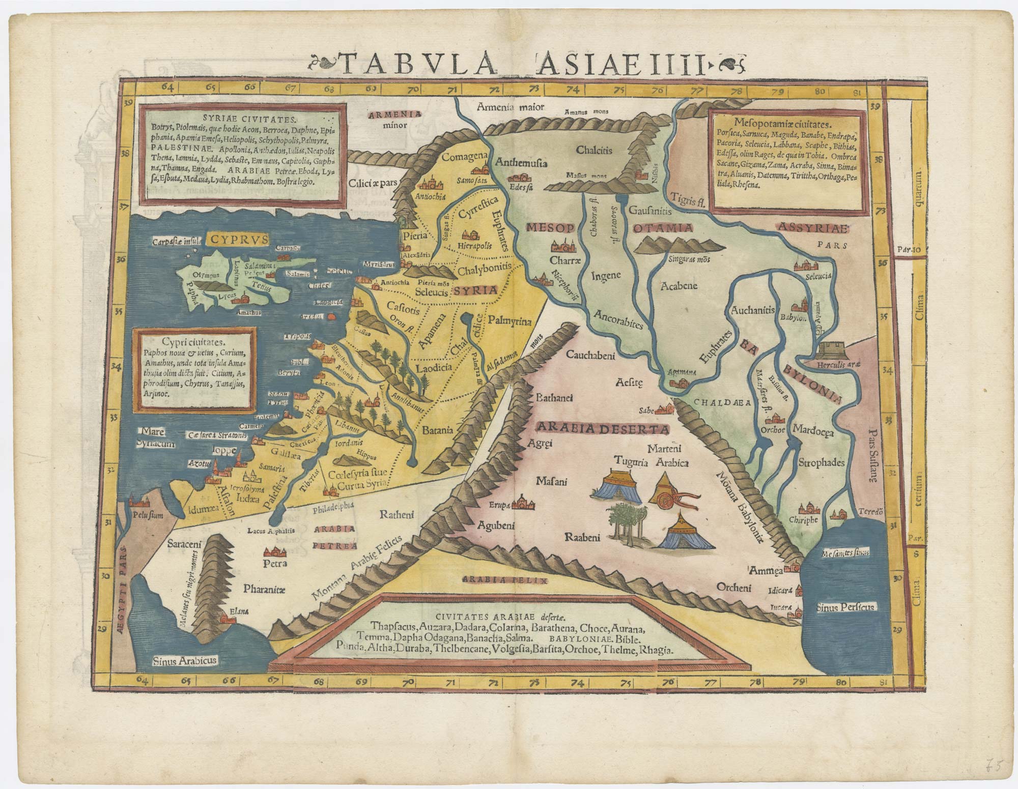
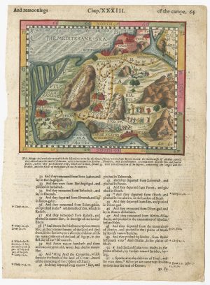
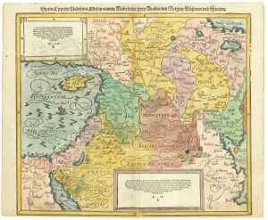
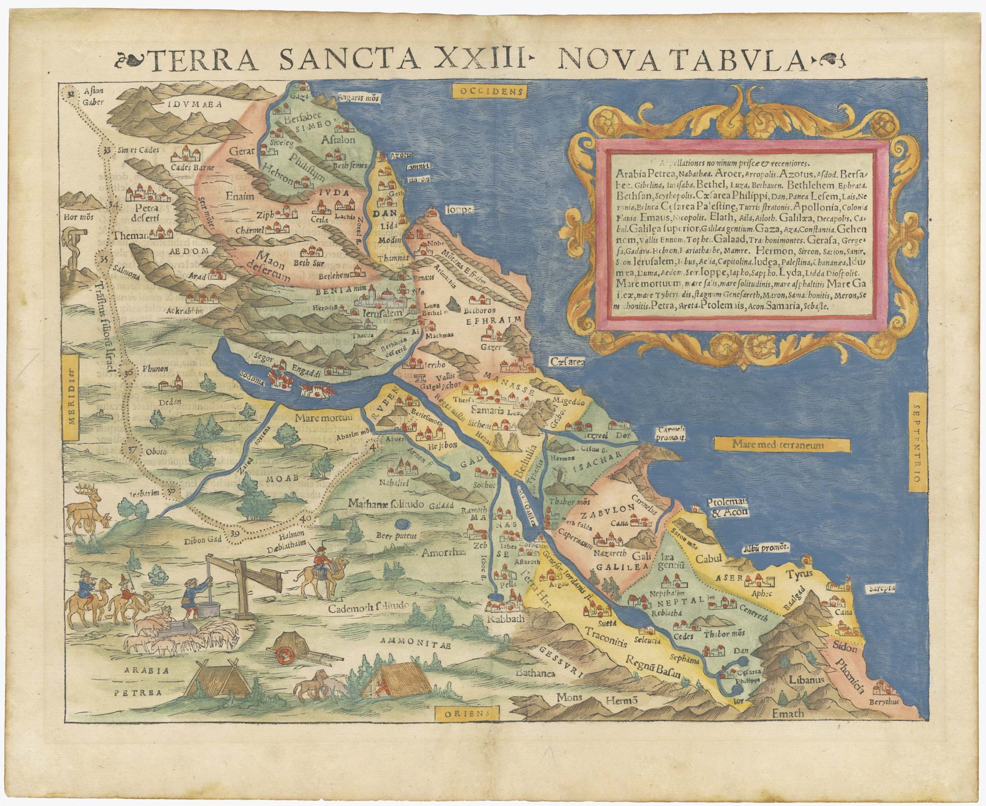
A 16th century woodcut map of the Holy Land & Cyprus
[Palestine & Cyprus.]
£220.00
1 in stock
x
Question About This Item?
A 16th century woodcut map of the Holy Land & Cyprus & MUNSTER, Sebastian.Stock #: 25482Description
Munster's single-page map of the Holy Land with two inset descriptive texts, marking Jerusalem, Petra, Damascus and Alexandretta. The island of Cyprus is shown.
Related products
-
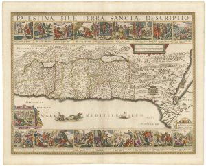
Uncommon 17th century panelled map of the Holy Land
JANSSON, Jan. Date: 1677Stock #: 21897 £3,500.00 -
18th century map of the Holy Land in fine colour
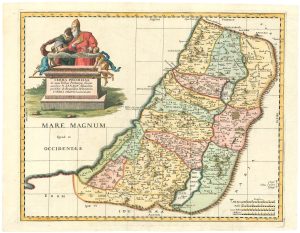
JAILLOT, Alexis-Hubert. Date: 1781Stock #: 14768 £450.00 -
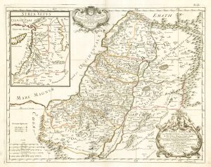
17th century map of the Holy Land
DE ROSSI, Giovanni Giacomo. Date: 1679Stock #: 19579 £230.00 -
A 16th century map of the Exodus, from a ‘Geneva Bible’
POSTEL, Guillaume. Date: 1599Stock #: 24854 £200.00 -
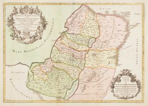
The Holy Land, divided into the Twelve Tribes.
Anonymous. Date: 1734Stock #: 24804 £350.00 -
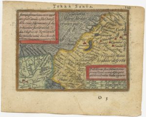
A 16th century miniature map of the Holy Land
ORTELIUS, Abraham. Date: 1593Stock #: 24462 £225.00 -
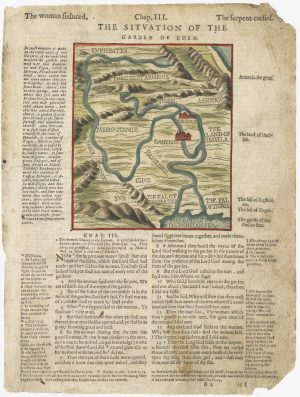
A 16th century map of the site of Eden, from a ‘Geneva Bible’
POSTEL, Guillaume. Date: 1599Stock #: 24853 £120.00 -
16th century map of the Eastern Mediterranean in rare early colour
MUNSTER, Sebastian. Date: 1550Stock #: 24441 £880.00 -

A reduced version of Kitchener’s important map of Palestine
CONDER, C.R. & KITCHENER, H.H. Date: 1881Stock #: 25130 £1,100.00
Items by the same author
[ti_wishlists_addtowishlist]
[ti_wishlists_addtowishlist]
[ti_wishlists_addtowishlist]
[ti_wishlists_addtowishlist]
[ti_wishlists_addtowishlist]