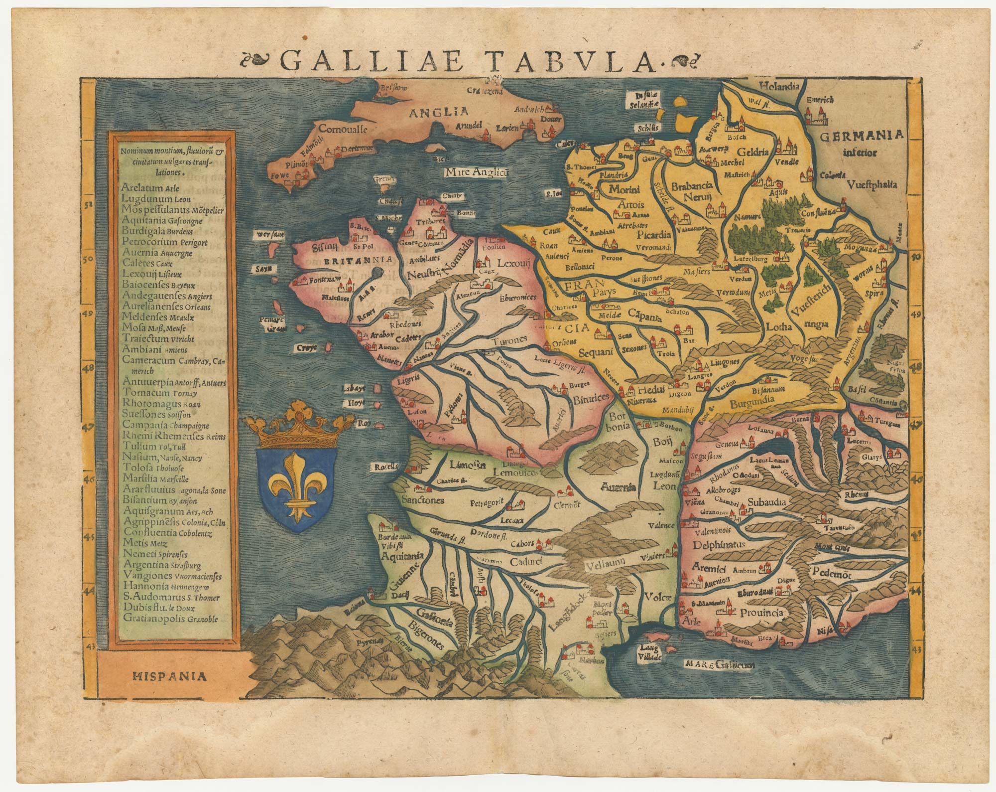


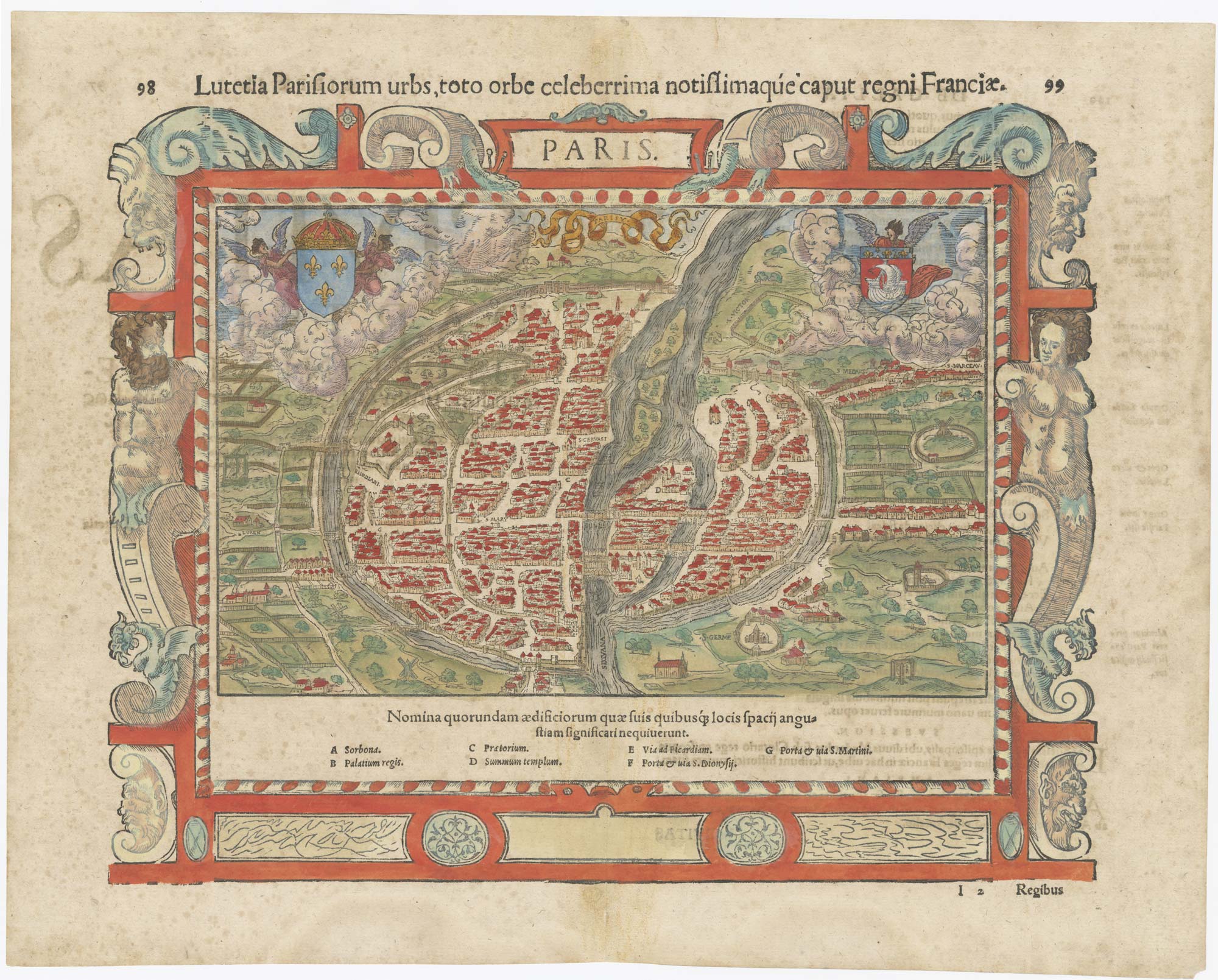
16th century woodblock map of France
Galliae Tabula.
Basle, 1572, Latin text edition. Coloured woodcut, printed area 265 x 345mm.
£380.00
Description
Munster's 'modern' map of France, with a text box listing the names of the cities in Latin and French. On the reverse is a Latin text description.
Condition:
A good example.Related products
-
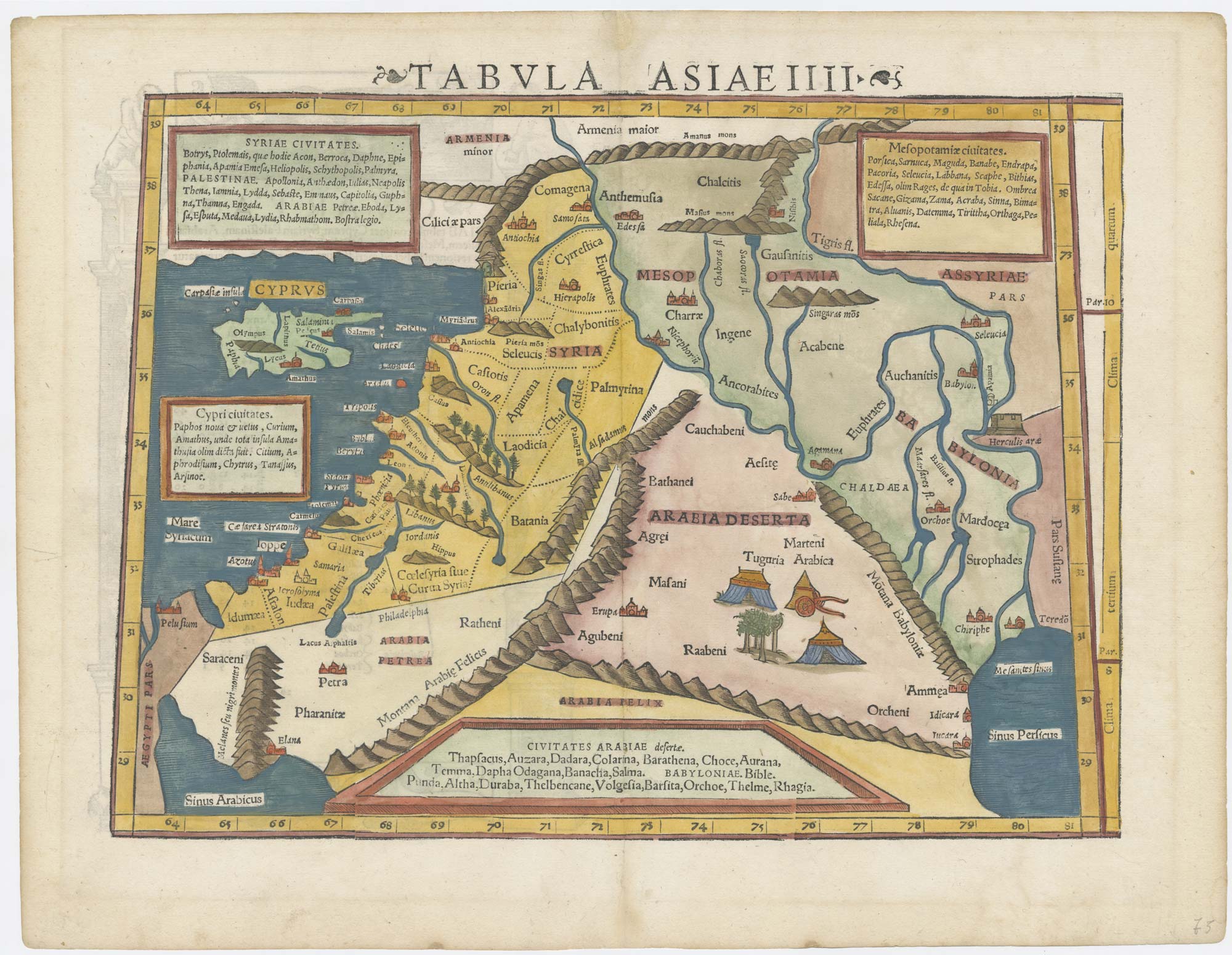
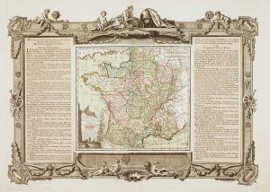
The new Departements of France
ZATTA, Antonio. Date: 1792Stock #: 9534 £350.00 -
Wall map of the French Empire at its height
CHAUMIER & MAUBORGNE. Date: 1813Stock #: 17401 £900.00 -
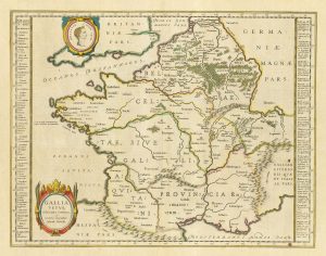
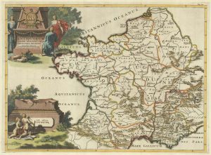
17th century Dutch map of Gaul after Ortelius
BLAEU, Willem Janszoon. Date: 1645Stock #: 25335 £250.00 -
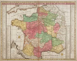
French Post Roads
LOTTER, Tobias Conrad. Date: 1750Stock #: 8713 £280.00 -
A fine 18th century miniature atlas of the coasts of France
BONNE, Rigobert. Date: 1778Stock #: 21944 £2,700.00 -
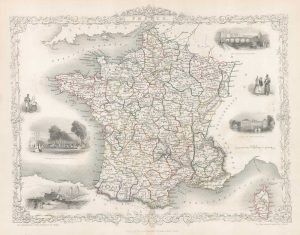
Map of France with vignette scenes
TALLIS, John. Date: 1851Stock #: 17766 £100.00 -
A decorative 18th century map of France
BRION DE LA TOUR, Louis. Date: 1770Stock #: 15529 £200.00 -
A map of the early Church in France
SANSON, Nicolas. Date: 1704Stock #: 22063 £340.00 -
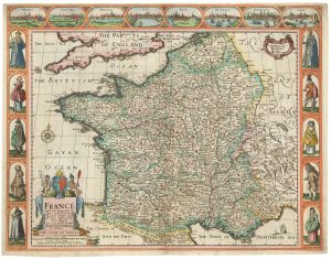
A 17th century English panelled map of France
SPEED, John. Date: 1665Stock #: 23995 £1,000.00
Items by the same author
[ti_wishlists_addtowishlist]
[ti_wishlists_addtowishlist]
[ti_wishlists_addtowishlist]
[ti_wishlists_addtowishlist]