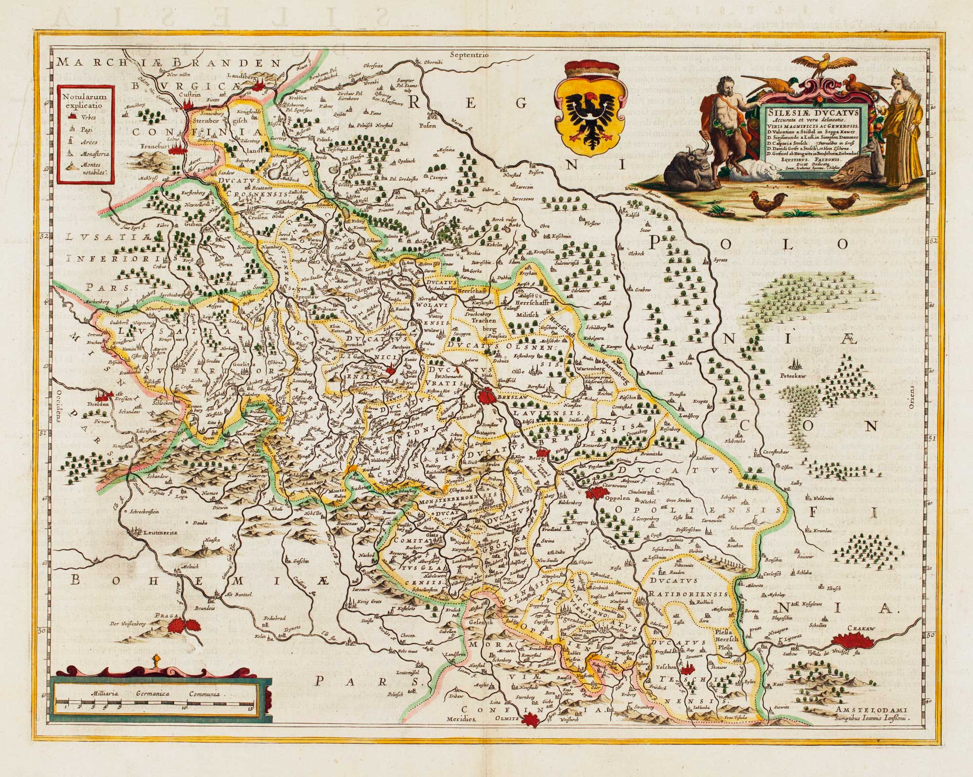


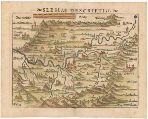
Detailed map of Silesia
Silesiae Ducatus Accurata et vera delineatio..
Amsterdam, c.1645, Latin text. Coloured. 385 x 490mm.
£450.00
Description
Silesia, with decorative cartouches for the title & scale. Centred on Wroclaw (here Breslaw), the map also marks Prague and Krakow.
Condition:
A good example.Related products
-
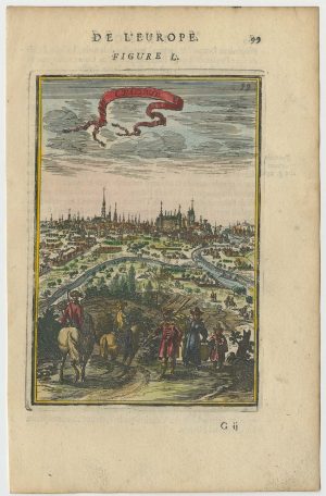
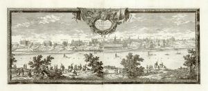
A 17th century prospect of Krakow
MALLET, Alain Manesson. Date: 1683Stock #: 24768 £250.00 -
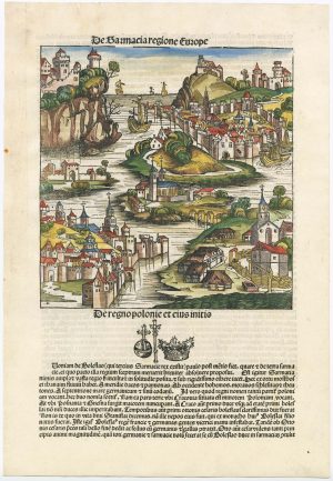
An incunable ‘view’ of Poland
SCHEDEL, D. Hartmann. Date: 1493Stock #: 23232 £650.00 -
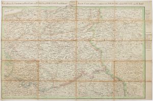
The Prussian and Russian occupation of the Duchy of Warsaw
KNITTEL, Johann Ernst. Date: 1812Stock #: 17231 £1,100.00 -
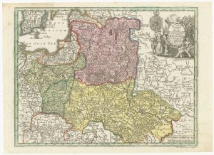
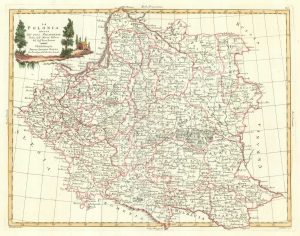
18th century map of Poland & Lithuania
SEUTTER, Matthaus. Date: 1740Stock #: 24690 £250.00 -
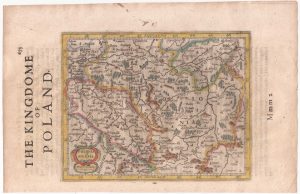
Poland from the first English Edition of the ‘Atlas Minor’
HONDIUS, Jodocus. Date: 1635Stock #: 22441 £180.00 -
16th century woodblock map of Silesia
MUNSTER, Sebastian. Date: 1572Stock #: 24582 £300.00 -
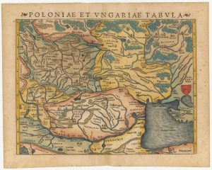
A 16th century woodcut map of Poland, Lithuania and Hungary
MUNSTER, Sebastian. Date: 1572Stock #: 24574 £700.00 -
An 18th century Italian map of Poland
ZATTA, Antonio. Date: 1782Stock #: 18353 £320.00 -
A prospect of 17th century Warsaw on two sheets
DAHLBERGH, Erik Jonsson. Date: 1696Stock #: 25083 £1,250.00
Items by the same author
[ti_wishlists_addtowishlist]

A magnificent example of the first folio sea atlas of the World
JANSSON, Jan. Date: 1650 Stock #: 23074 £47,500.00
[ti_wishlists_addtowishlist]
[ti_wishlists_addtowishlist]

[ti_wishlists_addtowishlist]

[ti_wishlists_addtowishlist]

[ti_wishlists_addtowishlist]