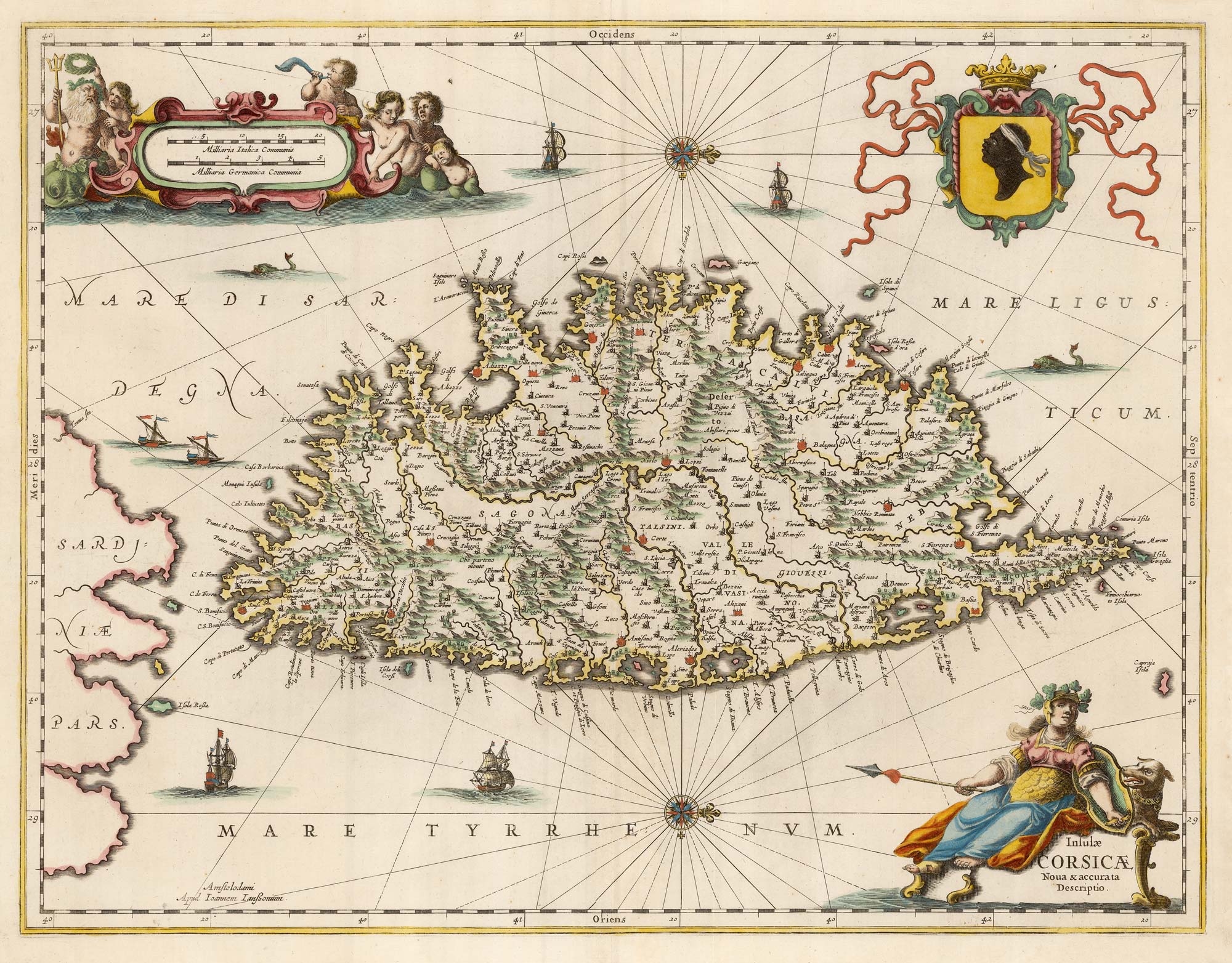


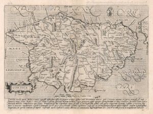
A decorative 17th century map of Corsica
Insulae Corsicae Nova & accurata Descriptio.
Amsterdam, c.1650, blank verso. Original colour. 390 x 510mm.
£1,100.00
Description
Rare map of Corsica, orientated with north to the right, with decorative cartouches for the title and scale and a large armorial.
Condition:
A good example.Related products
-
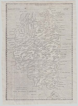
16th century woodcut map of Corsica
ALBERTI, Leandro. Date: 1588Stock #: 21495 £600.00 -
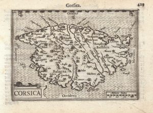
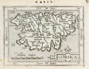
A 16th century miniature map of Corsica
LANGENES, Barent. Date: 1599Stock #: 21311 £280.00 -
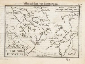
A 16th century miniature map of the Duchy of Burgundy
LANGENES, Barent. Date: 1599Stock #: 21140 £55.00 -
Miniature map of Corsica
ORTELIUS, Abraham. Date: 1602Stock #: 9121 £125.00 -
The first issue of Quad’s map of Corsica
QUAD, Matthias. Date: 1600Stock #: 18348 £425.00 -
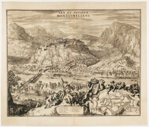
A fine prospect of the Savoyard fortress of Montmélian
HOOGHE, Romeyn de. Date: 1697Stock #: 14678 £700.00 -
The British ‘Descent’ on St Malo during the Seven Years’ War
RASPE, Gabriel Nikolaus. Date: 1760Stock #: 18856 £250.00 -
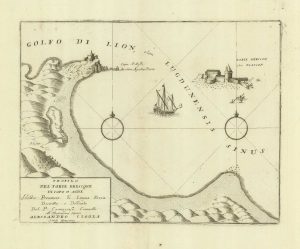
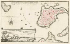
A sketch map of Cap d’Agde and Fort de Brescou
CORONELLI, Vincenzo Maria. Date: 1688Stock #: 21226 £180.00 -
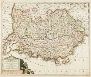
Map of Provence in fine original colour
VALK, Gerard. Date: 1710Stock #: 13446 £460.00
Items by the same author
[ti_wishlists_addtowishlist]

A magnificent example of the first folio sea atlas of the World
JANSSON, Jan. Date: 1650 Stock #: 23074 £47,500.00
[ti_wishlists_addtowishlist]
[ti_wishlists_addtowishlist]

[ti_wishlists_addtowishlist]

[ti_wishlists_addtowishlist]

[ti_wishlists_addtowishlist]
