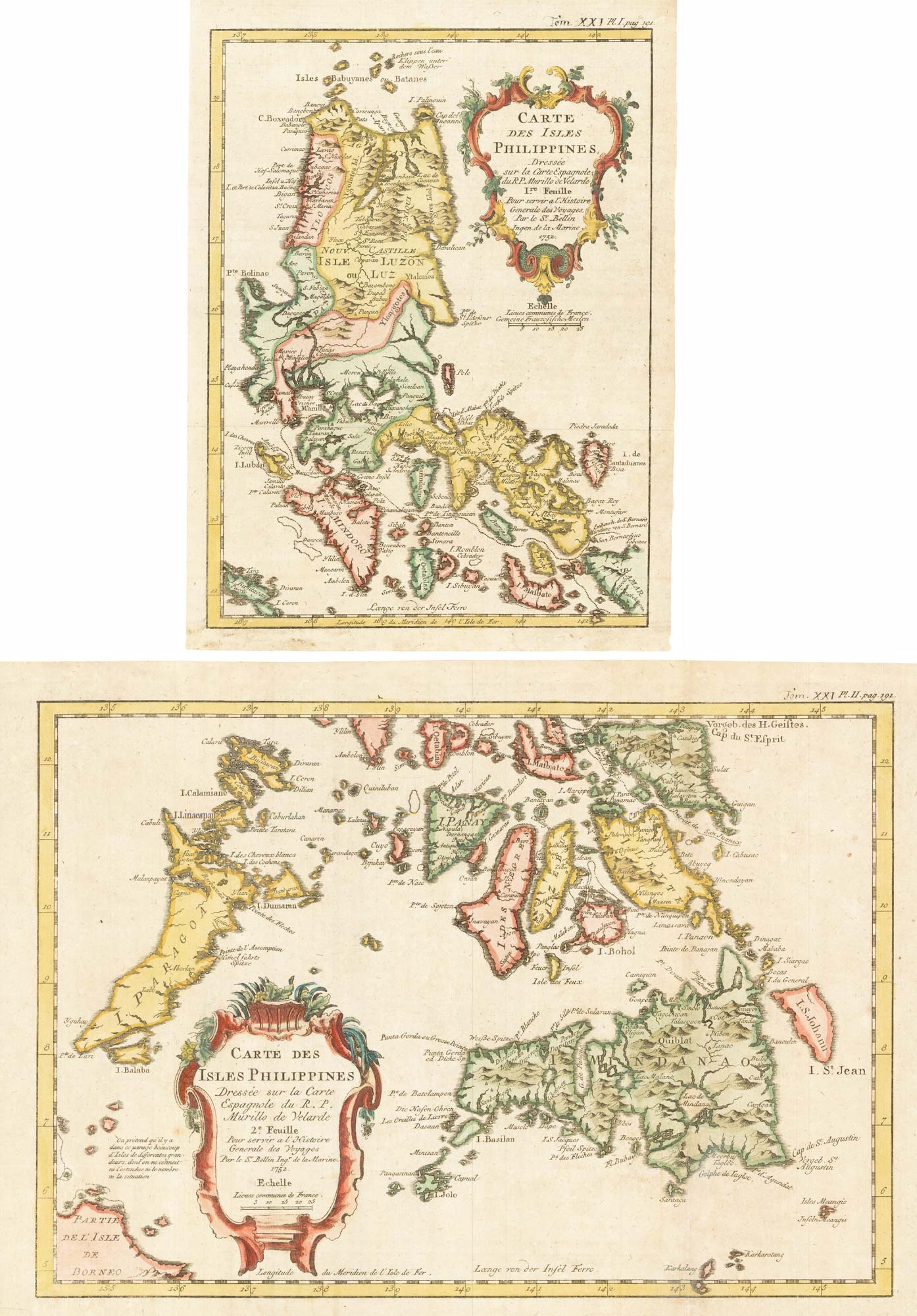


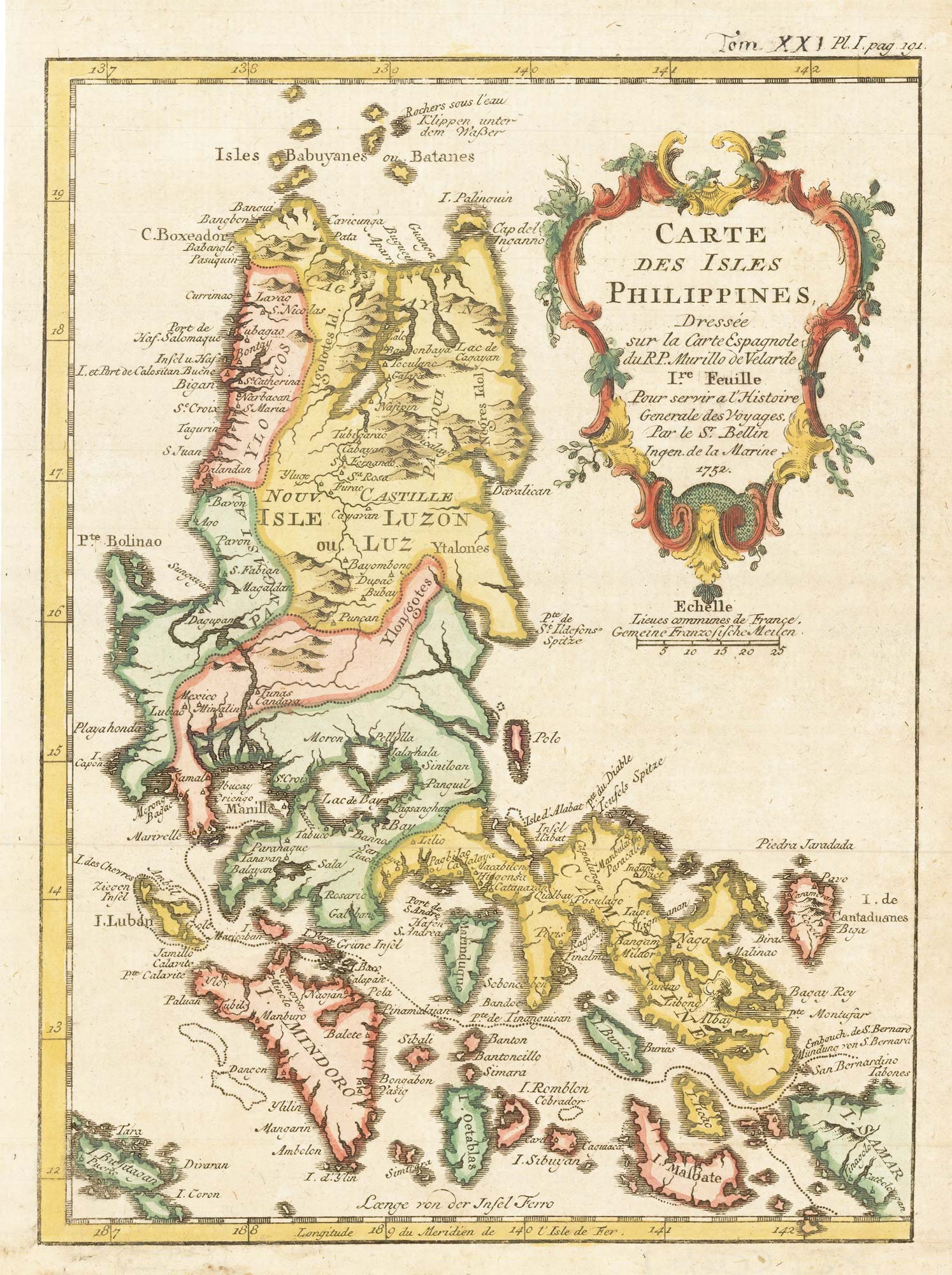
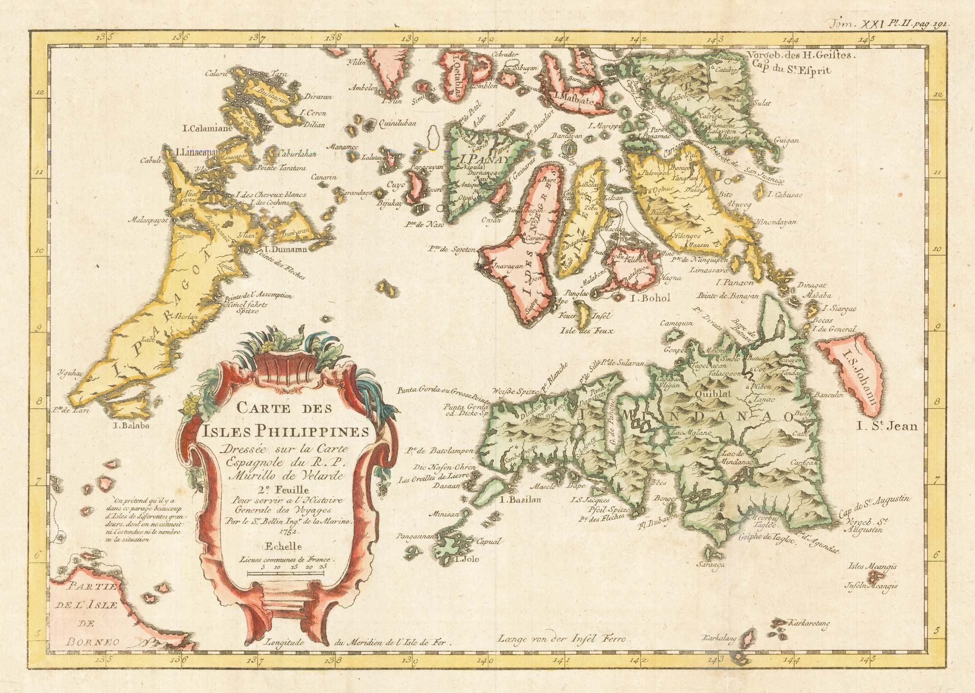
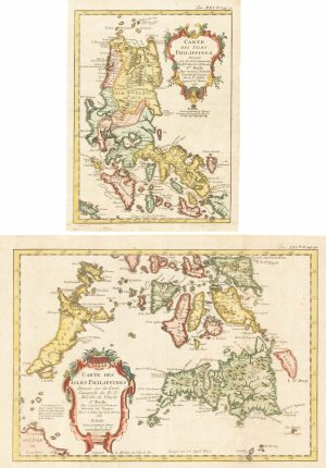
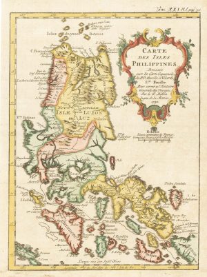
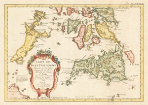
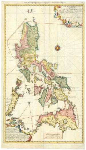
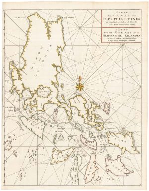
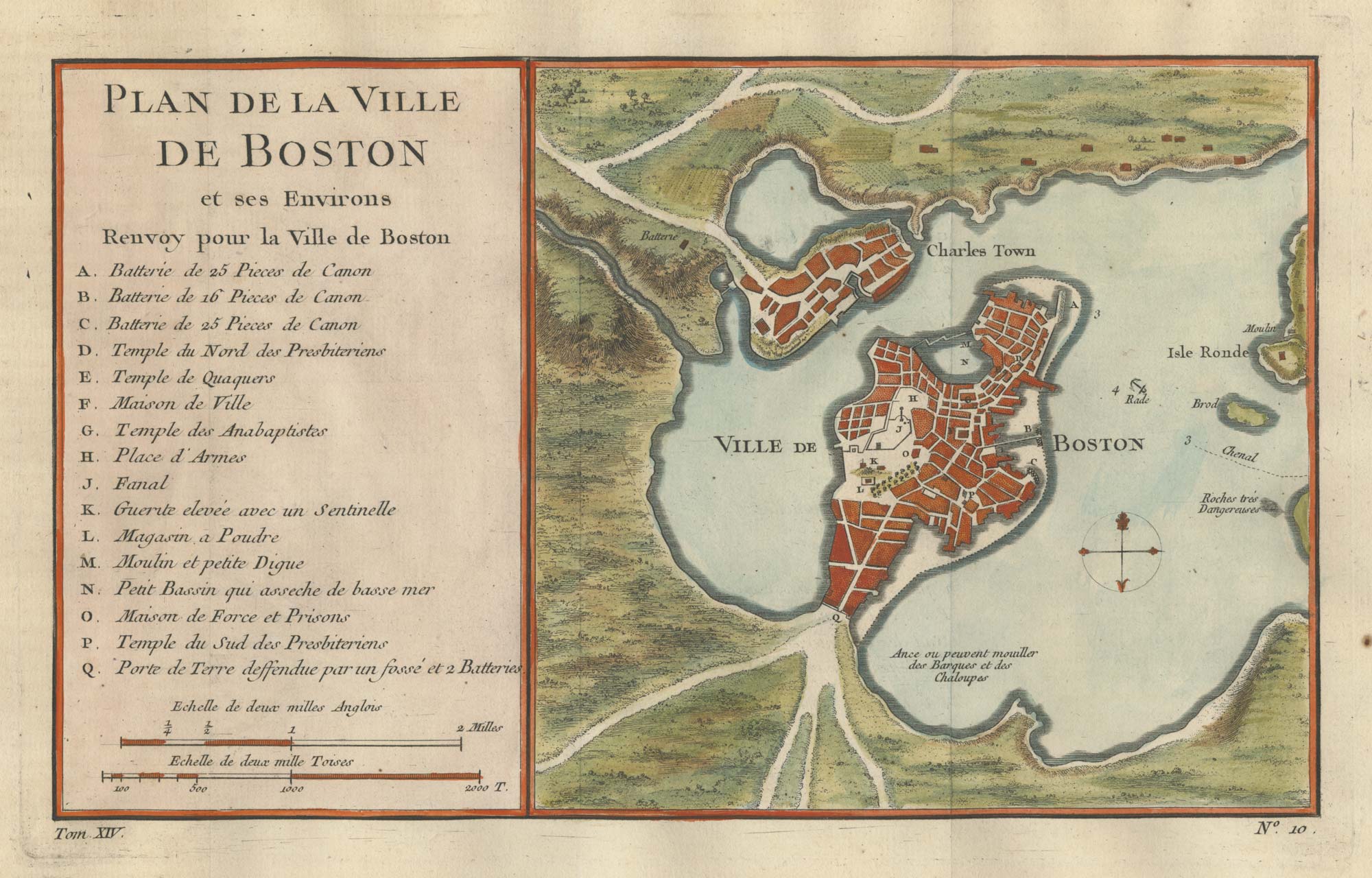
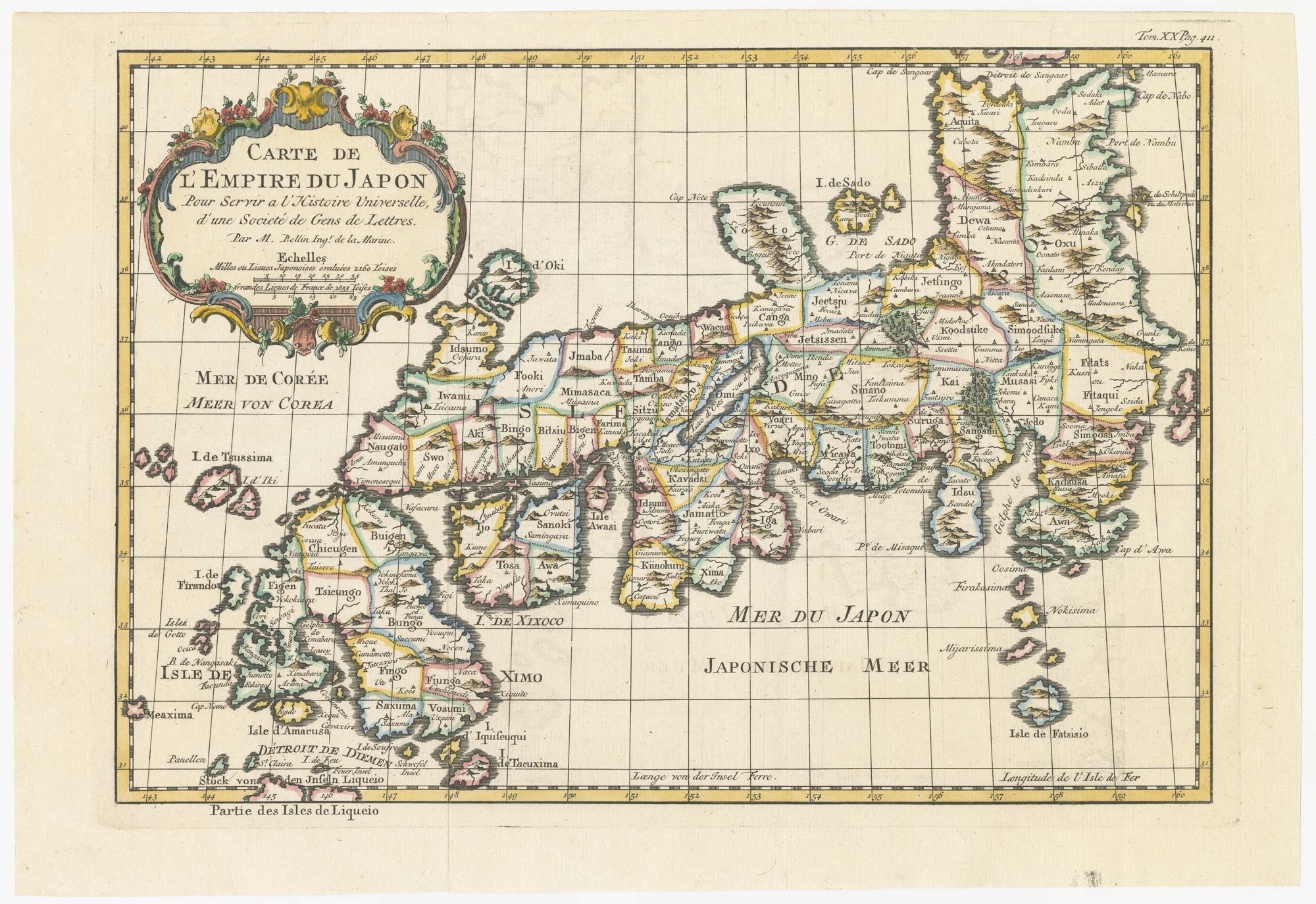
A pair of 18th century maps of the Philippines
Carte des Isles Philippines... 1.re Feuille. [&] Carte des Isles Philippines... 2.e Feuille. 1752.
Paris, 1752. Coloured. Two plates, 220 x 160mm & 225 x 310mm.
£450.00
1 in stock
x
Question About This Item?
A pair of 18th century maps of the Philippines & BELLIN, Jacques-Nicolas.Stock #: 22425Similar to Sell?
Description
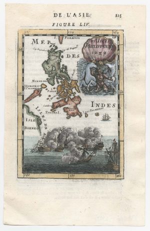
Maps of the northern & southern Philippines after Murillo, from Prevost's 'Histoire Générale des Voyages'.
Condition:
A good example.Related products
-
18th century Italian map of the Philippines
ZATTA, Antonio. Date: 1785Stock #: 21225 £1,650.00 -
A scarce map of the Philippines
STOCKLEIN, Joseph. Date: 1740Stock #: 18773 £625.00 -
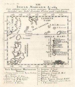
17th century miniature map of the Philippines
MALLET, Alain Manesson. Date: 1682Stock #: 22332 £450.00 -
An 18th century map of the Philippines on two sheets
LOWITZ, Georg Moritz. Date: 1760Stock #: 25153 £5,500.00 -
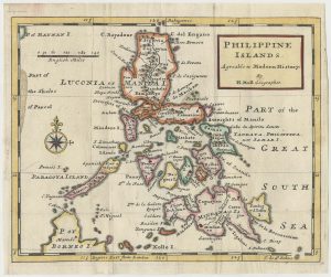
An early 18th century map of the Philippines
MOLL, Herman. Date: 1727Stock #: 24754 £1,250.00 -
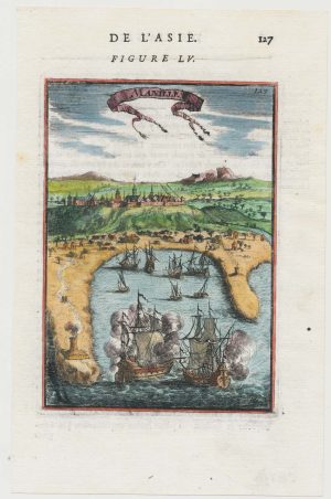
A 17th century miniature prospect of Manila
MALLET, Alain Manesson. Date: 1683Stock #: 22333 £380.00 -
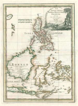
A scarce 18th century Italian map of the Philippines and Indonesia
CASSINI, Giovanni Maria. Date: 1797Stock #: 18460 £1,400.00 -
An unusual variant of Anson’s chart of the Philippines
ANSON, George. Date: 1750Stock #: 22306 £750.00 -
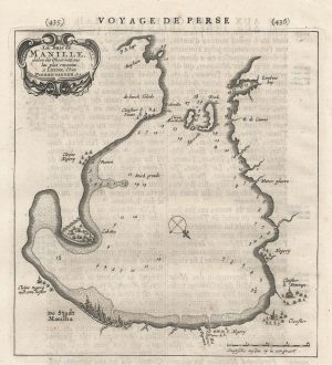
An early chart of Manila Bay
AA, Pieter van der. Date: 1729Stock #: 22822 £350.00
Items by the same author
[ti_wishlists_addtowishlist]
[ti_wishlists_addtowishlist]
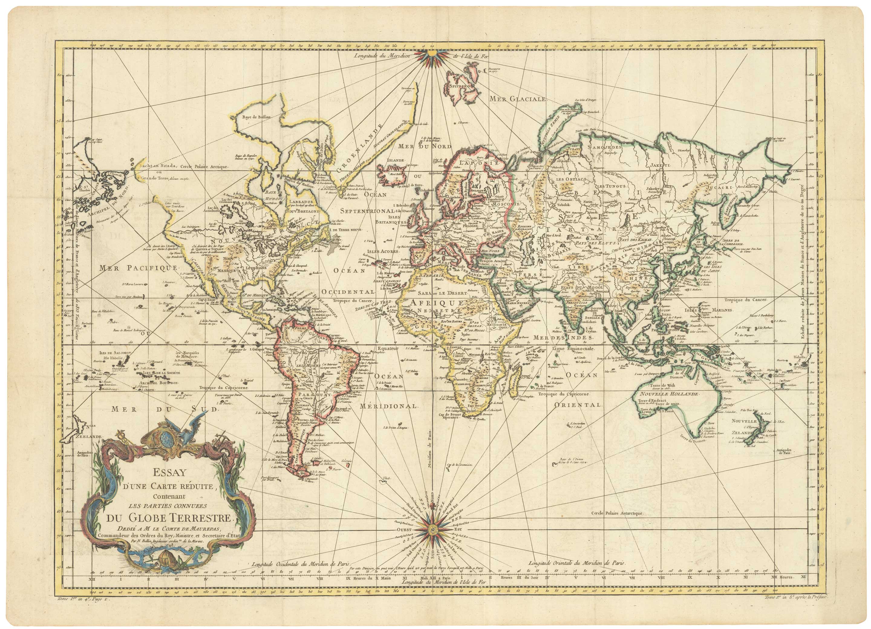
A large sea chart of the World on Mercator's Projection
BELLIN, Jacques-Nicolas. Date: 1775 Stock #: 25116 £1,600.00
[ti_wishlists_addtowishlist]
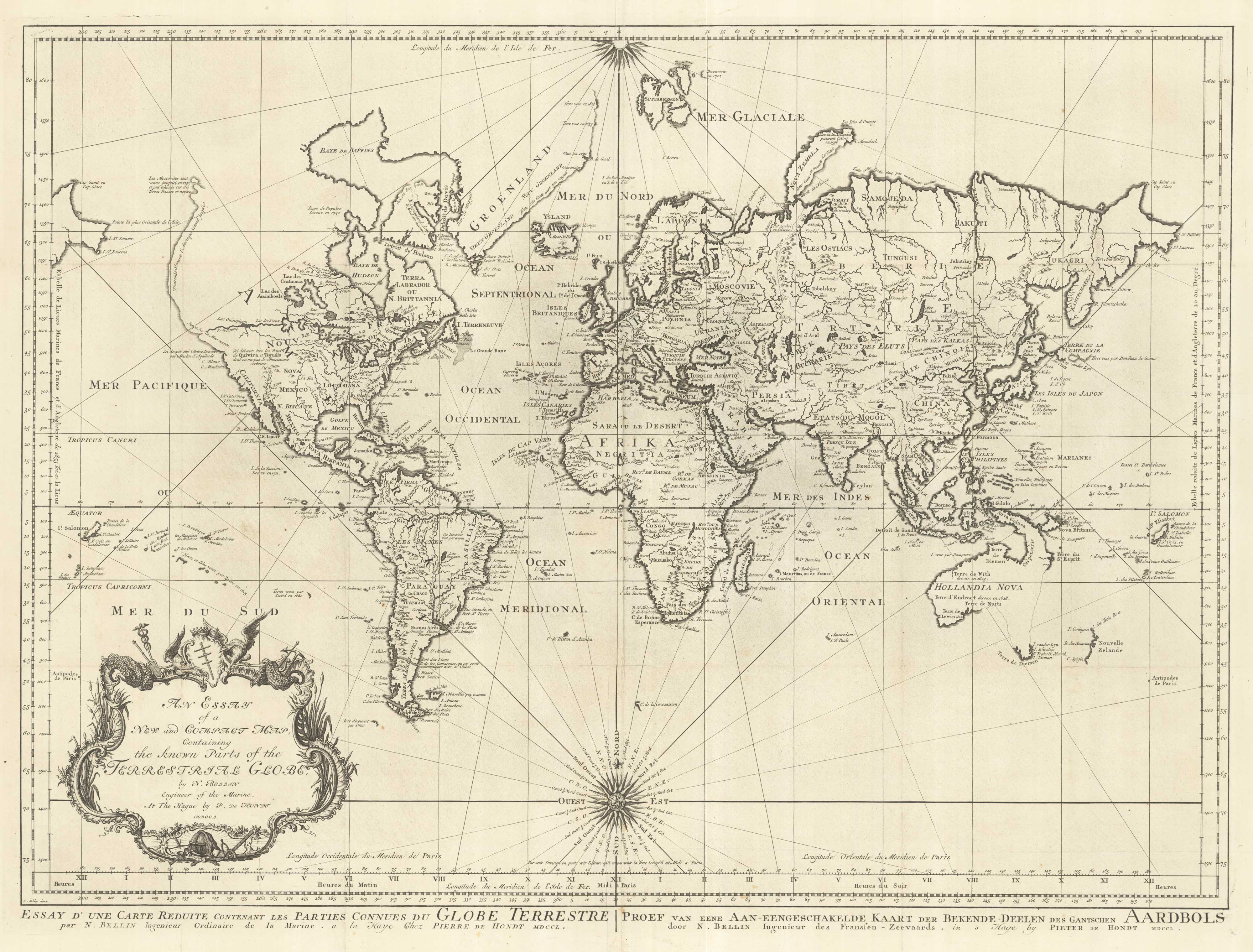
18th century nautical chart on Mercator's Projection
BELLIN, Jacques-Nicolas. Date: 1750 Stock #: 25151 £1,600.00
[ti_wishlists_addtowishlist]
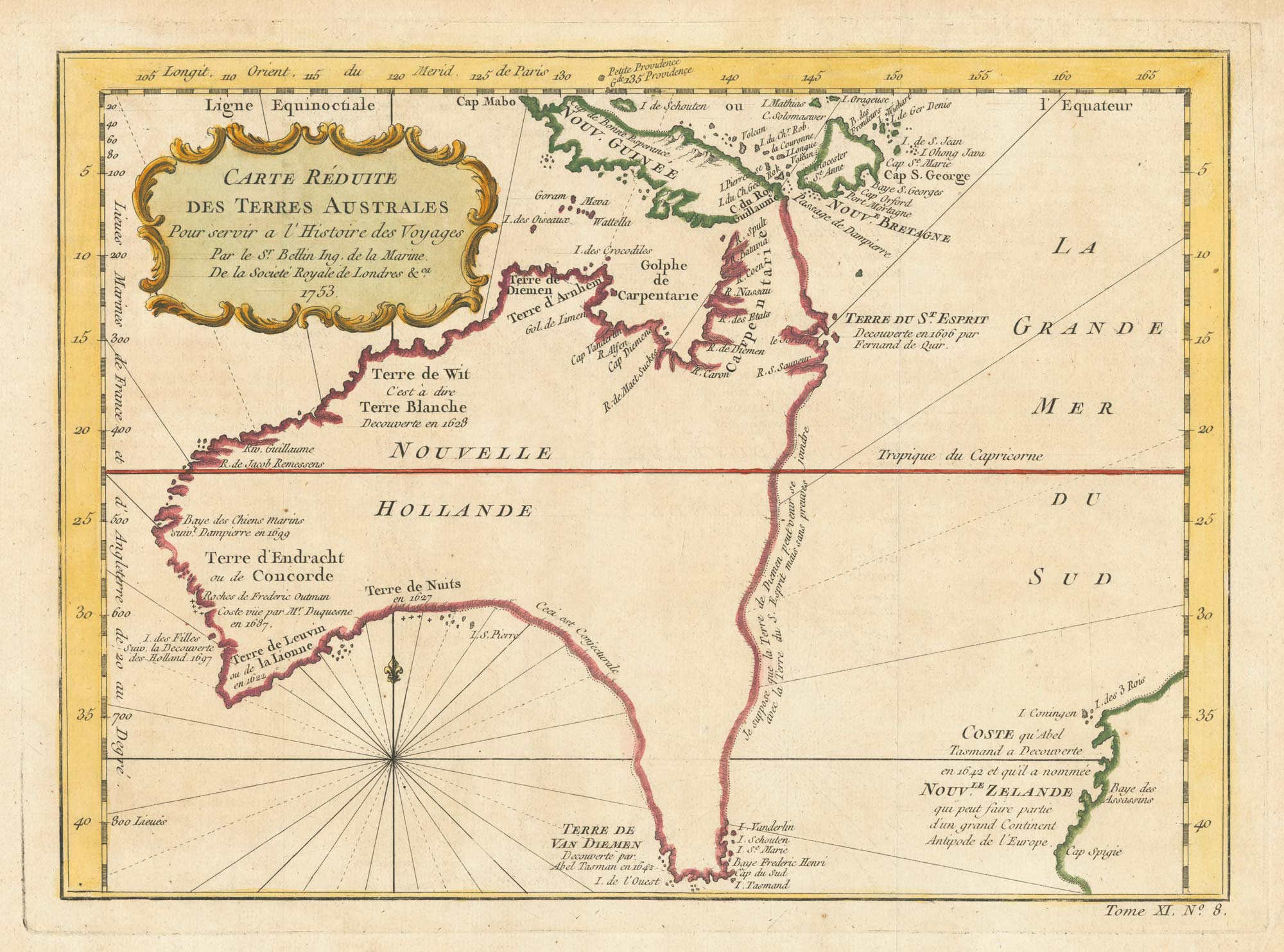
A pre-Cook discoveries map of Australia
BELLIN, Jacques-Nicolas. Date: 1753 Stock #: 25052 £1,000.00
[ti_wishlists_addtowishlist]
[ti_wishlists_addtowishlist]