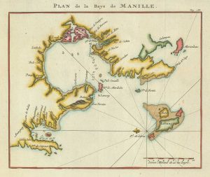
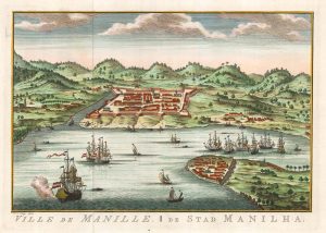
An early chart of Manila Bay
La Baie de Manille, selon les Observations les plus recents.
Leiden, 1719. Engraving, 190 x 180mm, set in letterpress text.
£350.00
Description
A scarce plan of the harbour of Manila based on Spanish sources, orientated with north to the bottom right.
Engraved in 1713, this plan was published in several atlases and books: this example comes from 'Voyages celebres & remarquables, faits de Perse aux Indes Orientales' by Johann Albrecht von Mandelslo (1616-44).
Condition:
A little toning of paper.Related products
-
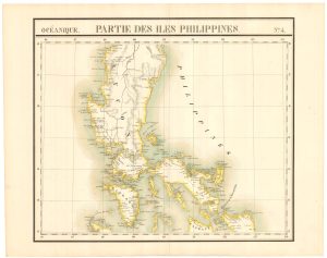
The ‘complete’ set of 6 maps of the Philippines
VANDERMAELEN, Philippe. Date: 1827Stock #: 21698 £2,000.00 -
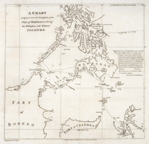
Admiral Anson’s plan of the Bay of Manila
ANSON, George. Date: 1750Stock #: 21190 £260.00 -
An 18th century map of the Philippines on two sheets
LOWITZ, Georg Moritz. Date: 1760Stock #: 25153 £5,500.00 -
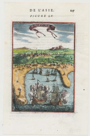
A 17th century miniature prospect of Manila
MALLET, Alain Manesson. Date: 1683Stock #: 22333 £380.00 -
Dutch edition of Bellin’s view of Manila
BELLIN, Jacques-Nicolas. Date: 1756Stock #: 20177 £450.00 -
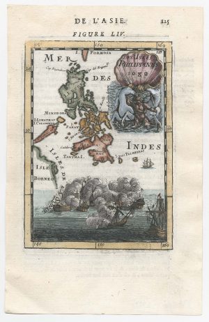
17th century miniature map of the Philippines
MALLET, Alain Manesson. Date: 1682Stock #: 22332 £450.00 -
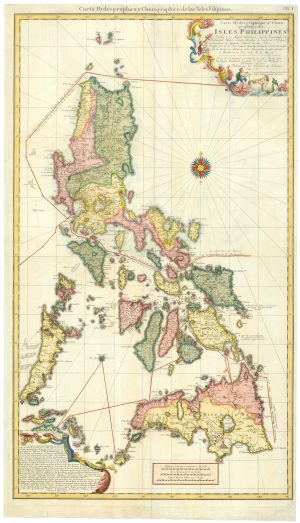
A scarce map of the Philippines
STOCKLEIN, Joseph. Date: 1740Stock #: 18773 £625.00 -
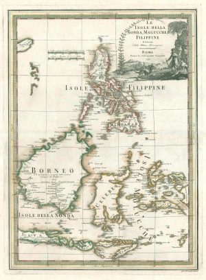
A scarce 18th century Italian map of the Philippines and Indonesia
CASSINI, Giovanni Maria. Date: 1797Stock #: 18460 £1,400.00 -
Magellan’s route through the Philippines
BURNEY, James. Date: 1803Stock #: 20895 £1,750.00
Items by the same author
[ti_wishlists_addtowishlist]

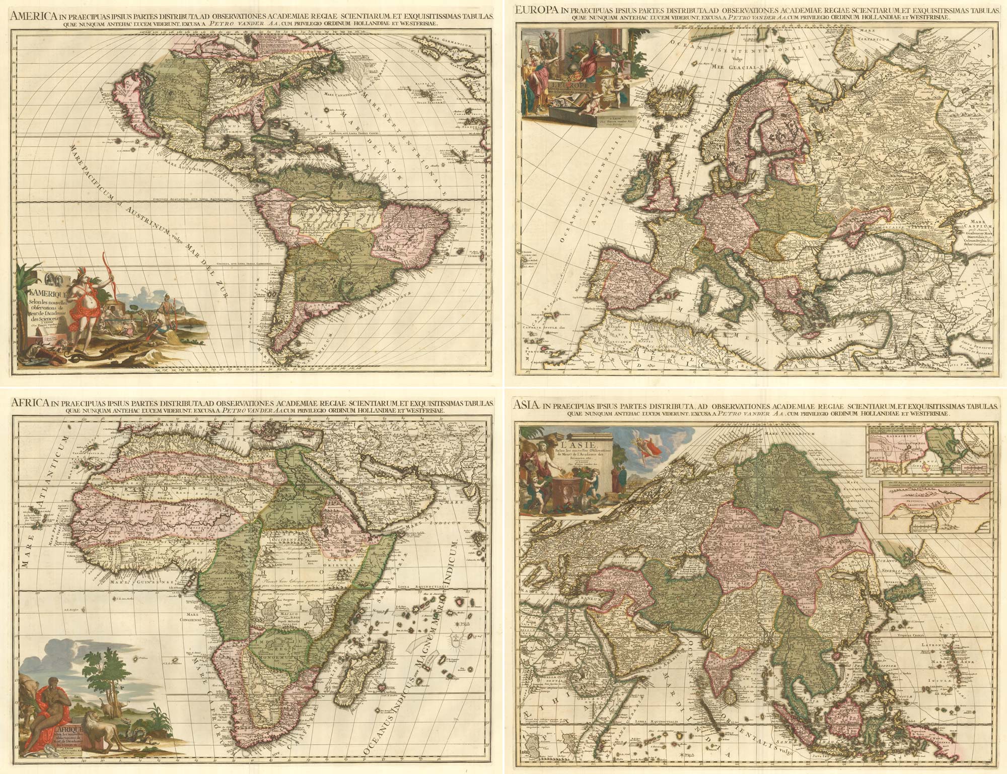
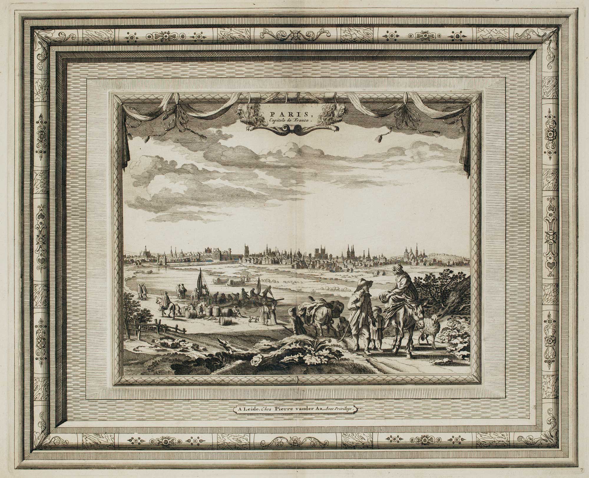
A fine plan of Rome after Falda with exceptional colouring
AA, Pieter van der. Date: 1695 Stock #: 25236 £3,000.00
[ti_wishlists_addtowishlist]
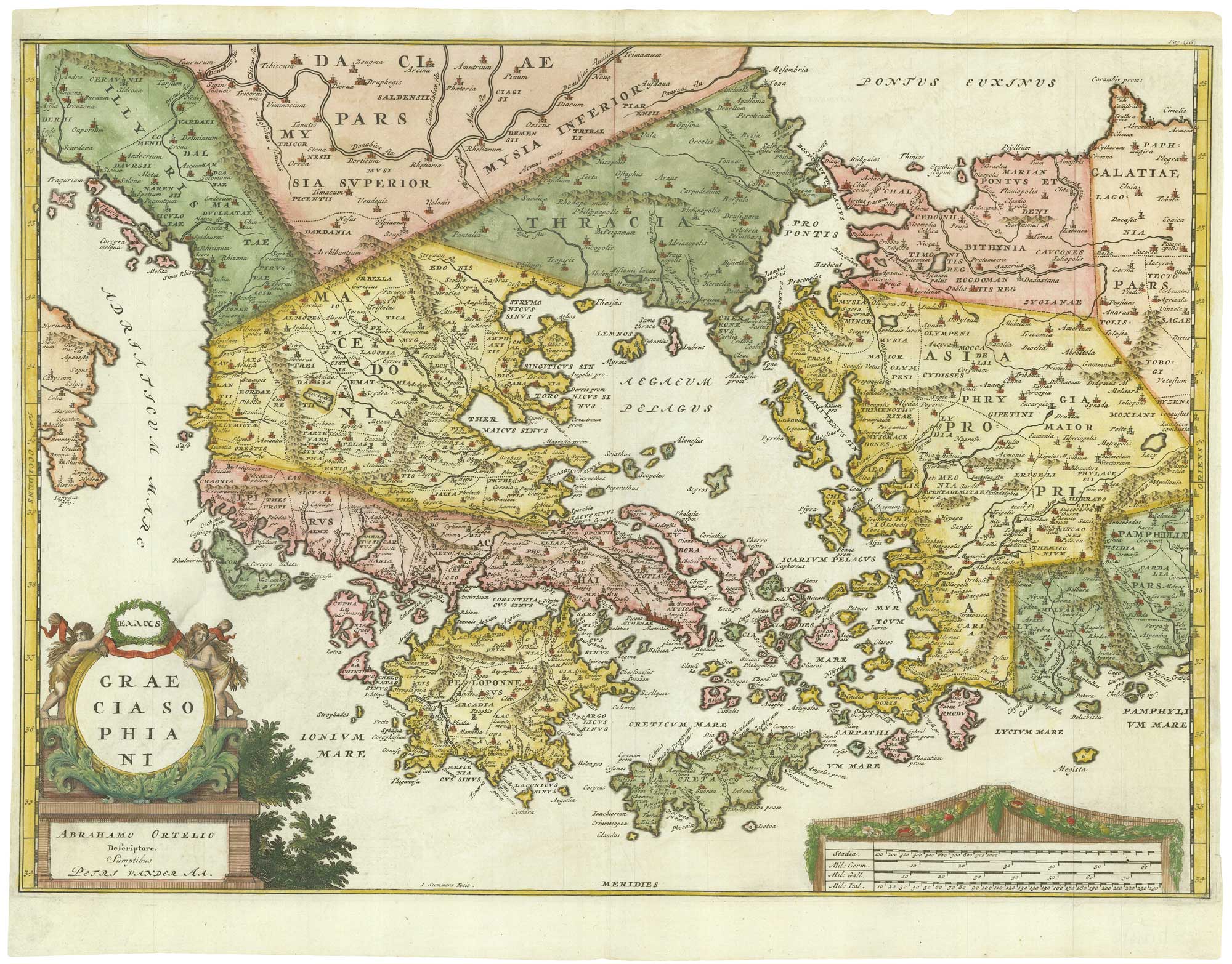
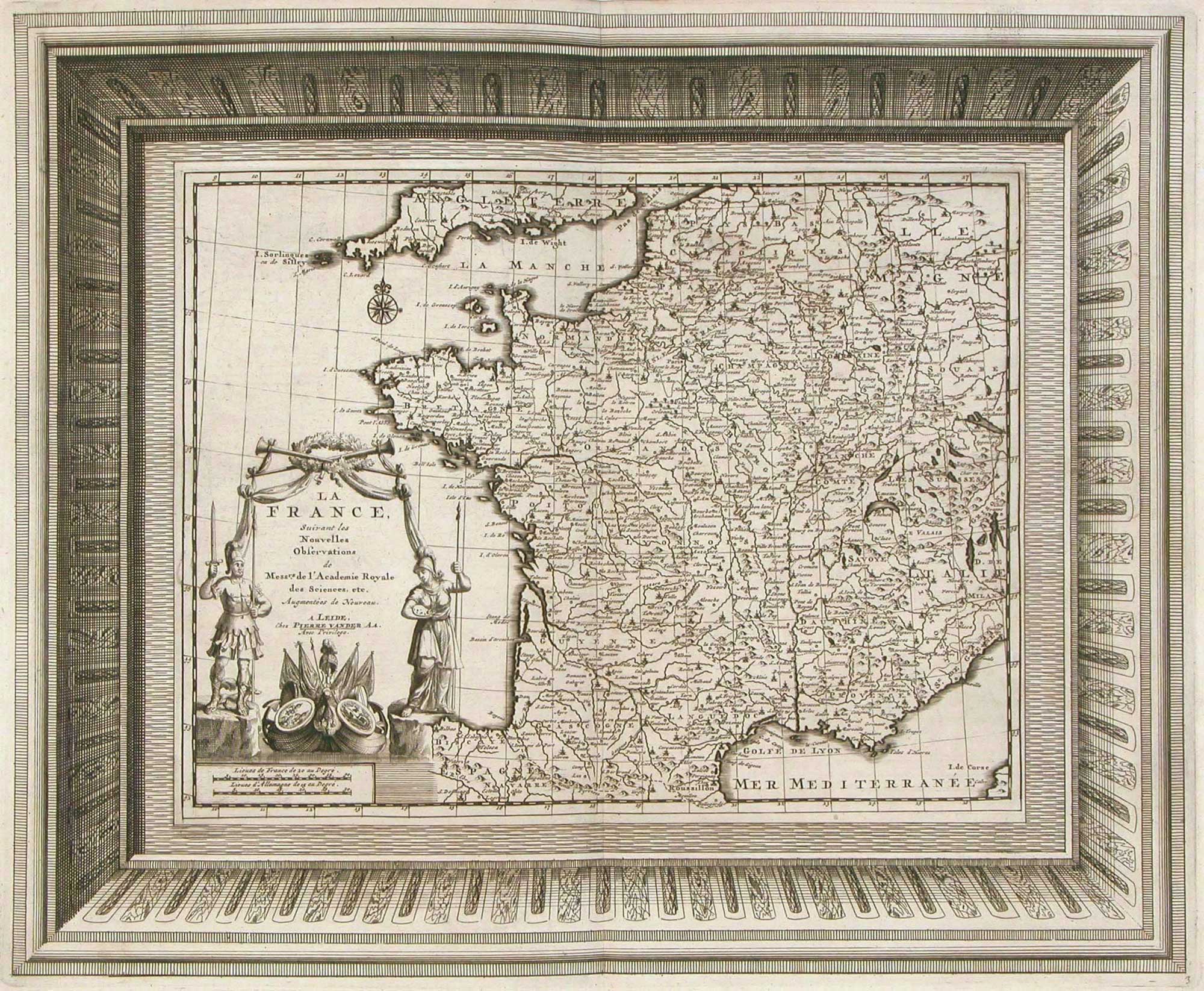
Early 18th century map of Ancient Greece after Ortelius
AA, Pieter van der. Date: 1712 Stock #: 21219 £400.00
[ti_wishlists_addtowishlist]
[ti_wishlists_addtowishlist]
[ti_wishlists_addtowishlist]
[ti_wishlists_addtowishlist]