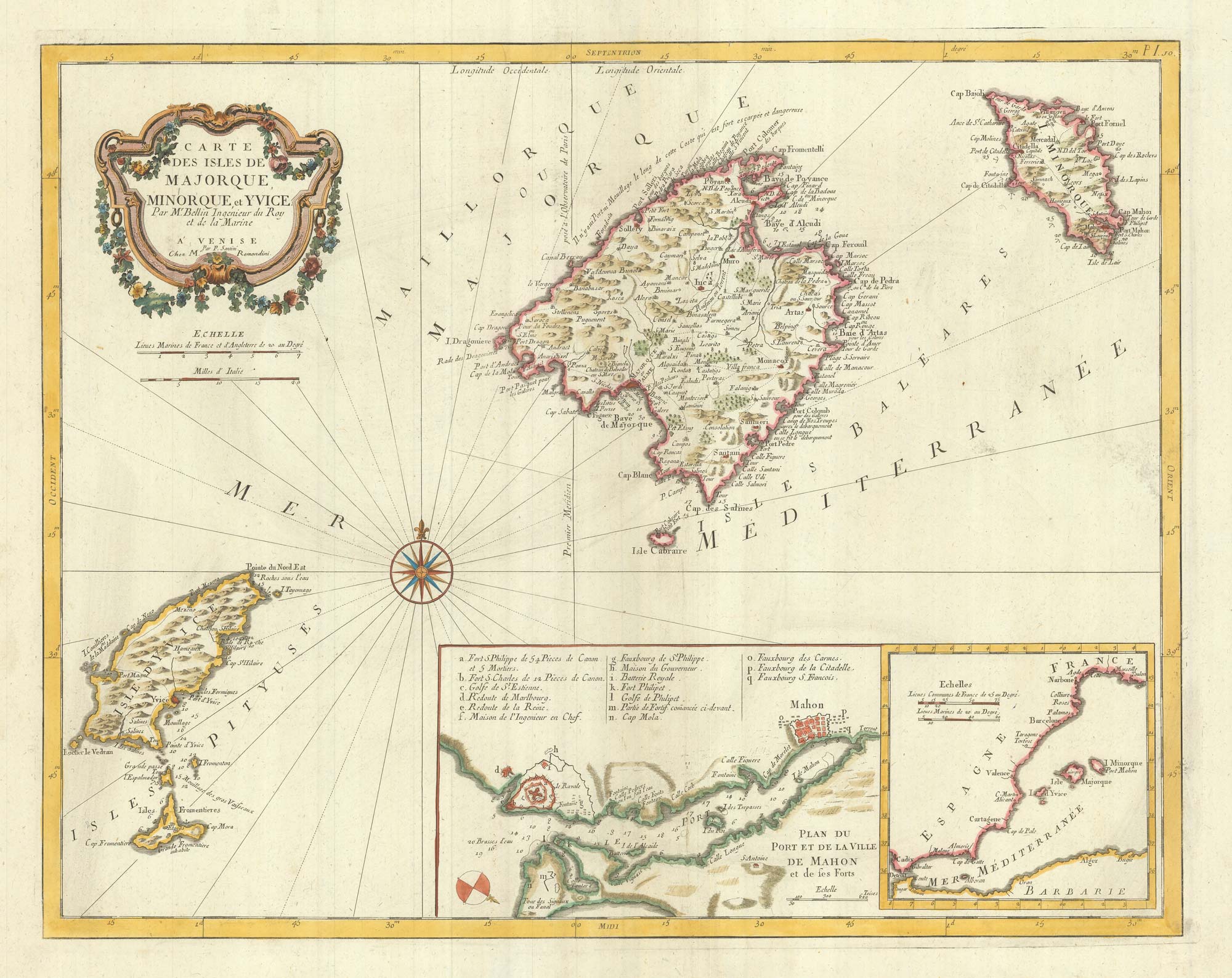


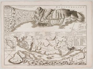
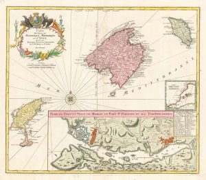
Detailed 18th century map of the Balearics
Carte des Isles de Majorque, Minorque et Yvice Par M.r Bellin Ingenier du Roy et de la Marine.
Venice, Giuseppe Antonio Remondini, 1784. Coloured. 435 x 555mm.
£650.00
1 in stock
x
Question About This Item?
Detailed 18th century map of the Balearics & SANTINI, Francesco & SANTINI, Paolo.Stock #: 20247Similar to Sell?
Description
The Santini's re-engraving of Nicolas Bellin's map of the Balearic Islands. One inset details the British defences in Mahon Harbour, including St Philip's Fort; the other shows the position of the islands against the coast of Spain.
Condition:
A good example.Related products
-
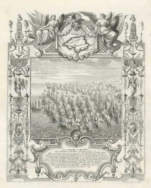
The British attack on Majorca in 1706
DECKER, Paul. Date: 1720Stock #: 18683 £1,250.00 -
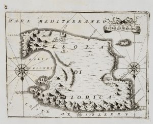
An uncommon 17th century map of Majorca
CORONELLI, Vincenzo Maria. Date: 1690Stock #: 20699 £450.00 -
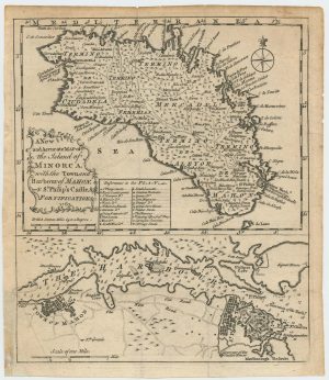
Maps of Minorca and Mahon at the end of the Seven Years’ War
Anonymous. Date: 1763Stock #: 24052 £450.00 -
Mahon & Gibraltar besieged during the Seven Years’ War
LE ROUGE, Georges-Louis. Date: 1756Stock #: 16377 £850.00 -
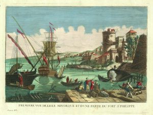
A view of Mahon Harbour with St Philip’s Castle
FONTAINE. Date: 1780Stock #: 20597 £425.00 -
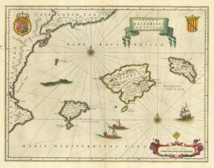
17th century Dutch map of the Balearics
BLAEU, Willem Janszoon. Date: 1645Stock #: 25334 £650.00 -
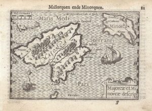
A 16th century miniature map of Majorca and Minorca
LANGENES, Barent. Date: 1599Stock #: 21341 £350.00 -
The Balearics with an inset chart of Mahon Harbour
LOTTER, Tobias Conrad. Date: 1760Stock #: 22199 £950.00 -
An early example of Seutter’s map of the Balearics
SEUTTER, Matthaus. Date: 1741Stock #: 23095 £980.00
Items by the same author
[ti_wishlists_addtowishlist]
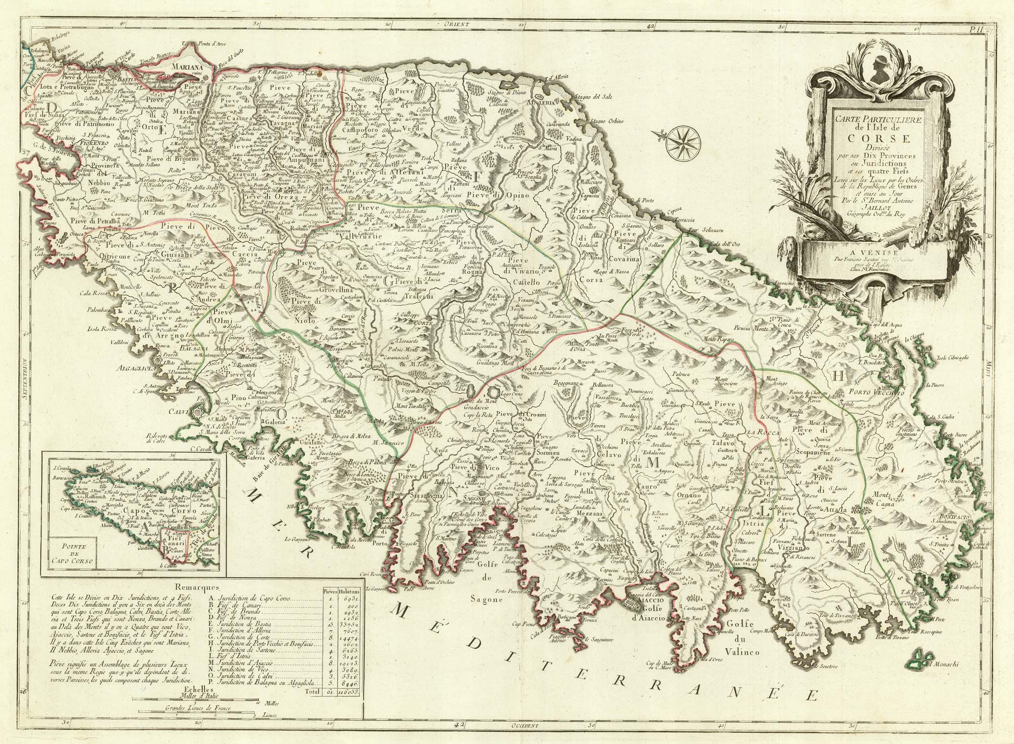
A detailed 18th century map of Corsica after Jaillot
SANTINI, Francesco & SANTINI, Paolo. Date: 1784 Stock #: 21914 £650.00
[ti_wishlists_addtowishlist]
