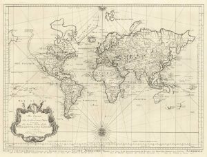
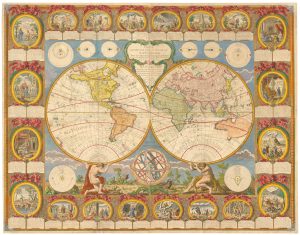
An 18th century world map with ‘Terrestrial’ and ‘Maritime’ hemispheres
Nouvelle Mappe Monde dediee au progres de nos connoissances.
£1,600.00
1 in stock
x
Question About This Item?
An 18th century world map with ‘Terrestrial’ and ‘Maritime’ hemispheres & SANTINI, Francesco & SANTINI, Paolo.Stock #: 25417Description
A unusual double-hemisphere world map: by centring the eastern sphere on Paris, most of the world's landmass is captured in the right circle, with only Patagonia, Australasia, and the islands of the East Indies and Pacific in the left. Thus Santini could name the two halves 'Hemisphere Maritime' and 'Hemisphere Terrestre'.
Brothers Francesco and Paulo Santini were the editor and engraver respectively of their 'Atlas Universel', first issued in 1776, before selling the plates to Remondini in 1781. Despite the date the cartography has not been updqated, despite Captain Cook's discoveries the previous decade: Australia and New Zealand are only shown partially; the erroneous 'Mer de L'Ouest' appears in northwest America, with a large 'I. Nouvelle' just south of the Bering Straits; and Jesso is part of mainland Asia.
Related products
-
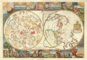
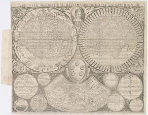
A rare 17th century English maps of the world and the heavens
MOXON, Joseph. Date: 1695Stock #: 25274 £3,200.00 -
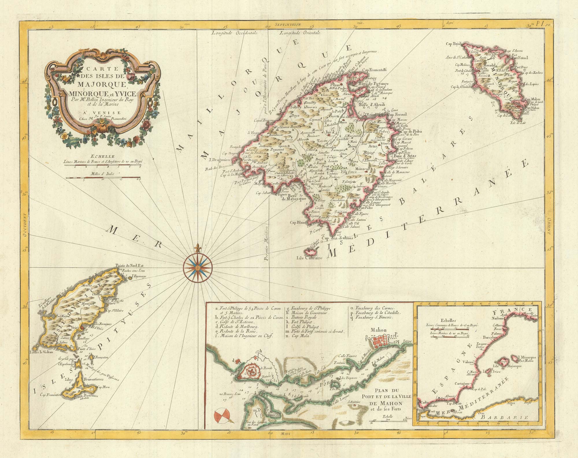
18th century nautical chart on Mercator’s Projection
BELLIN, Jacques-Nicolas. Date: 1750Stock #: 25151 £1,600.00 -
De Jode’s rare cordiform world map in fine original colour
DE JODE, Gerard. Date: 1578Stock #: 25173 Price on Application -
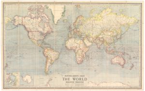
A wall map of the world between the World Wars
BARTHOLOMEW, John. Date: 1950Stock #: 24074 £1,500.00 -
A scarce world map after Giuseppe Rosaccio
ROSACCIO, Alovisio. Date: 1610Stock #: 22849 £4,500.00 -
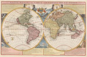
De Fer’s two-sheet world map
FER, Nicolas de. Date: 1705Stock #: 22570 £2,800.00 -
An 18th century wall map of the world
CLOUET, Jean Baptiste Louis. Date: 1788Stock #: 24669 £22,500.00 -
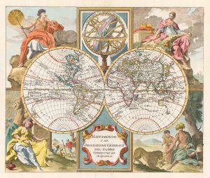
A mid-18th century Italian world map with allegorical figures of the continents
ALBRIZZI, Giovanni Battista. Date: 1742Stock #: 22318 £1,250.00 -
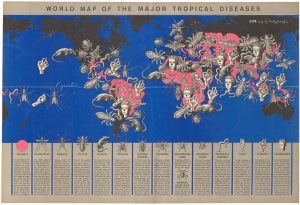
A graphic map of the world’s tropical diseases
ARTZYBASHEFF, Boris. Date: 1944Stock #: 22553 £500.00
Items by the same author
[ti_wishlists_addtowishlist]
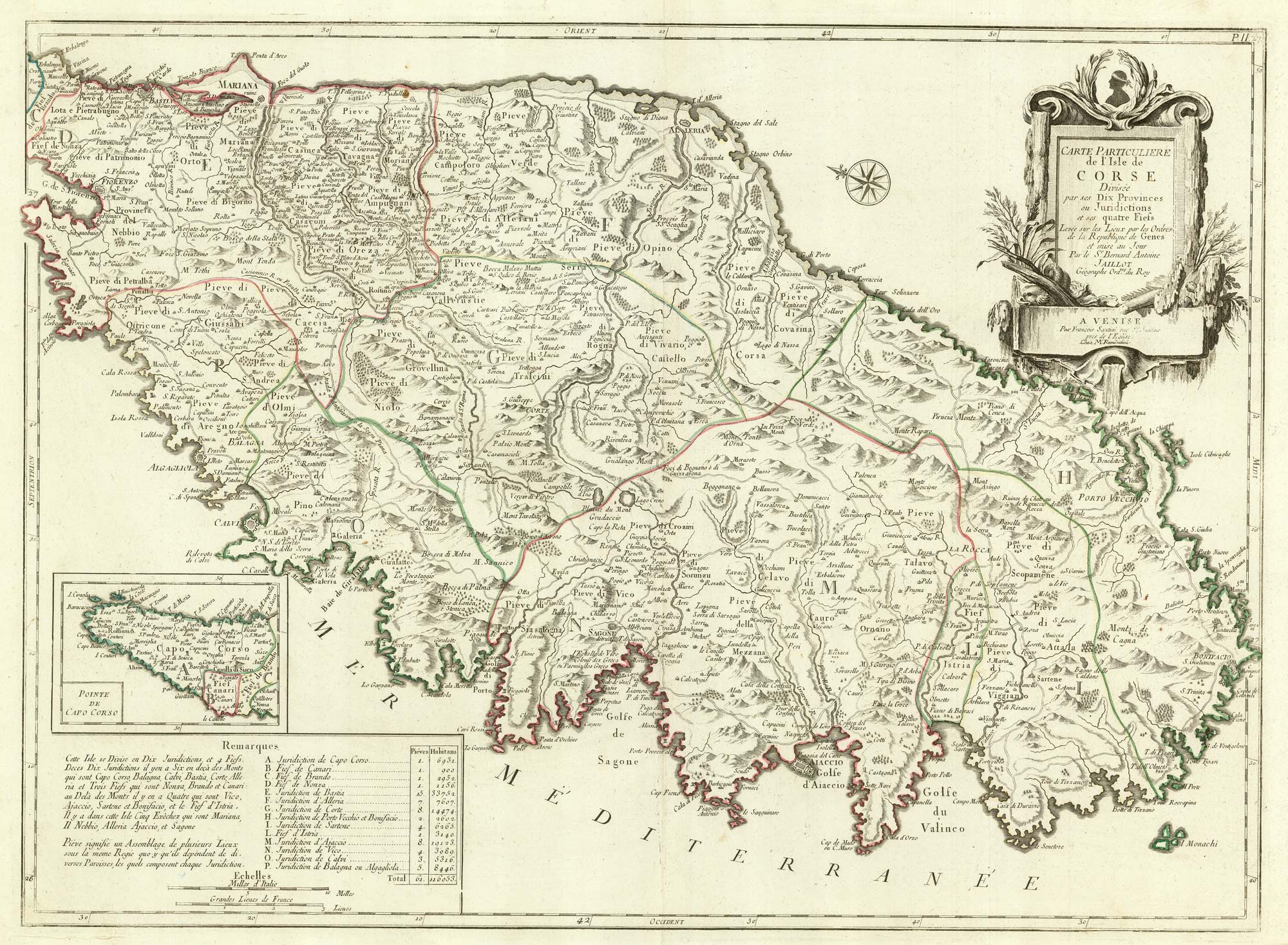
A detailed 18th century map of Corsica after Jaillot
SANTINI, Francesco & SANTINI, Paolo. Date: 1784 Stock #: 21914 £650.00
[ti_wishlists_addtowishlist]

A large format 18th century map of Sardinia
SANTINI, Francesco & SANTINI, Paolo. Date: 1784 Stock #: 21917 £600.00
[ti_wishlists_addtowishlist]