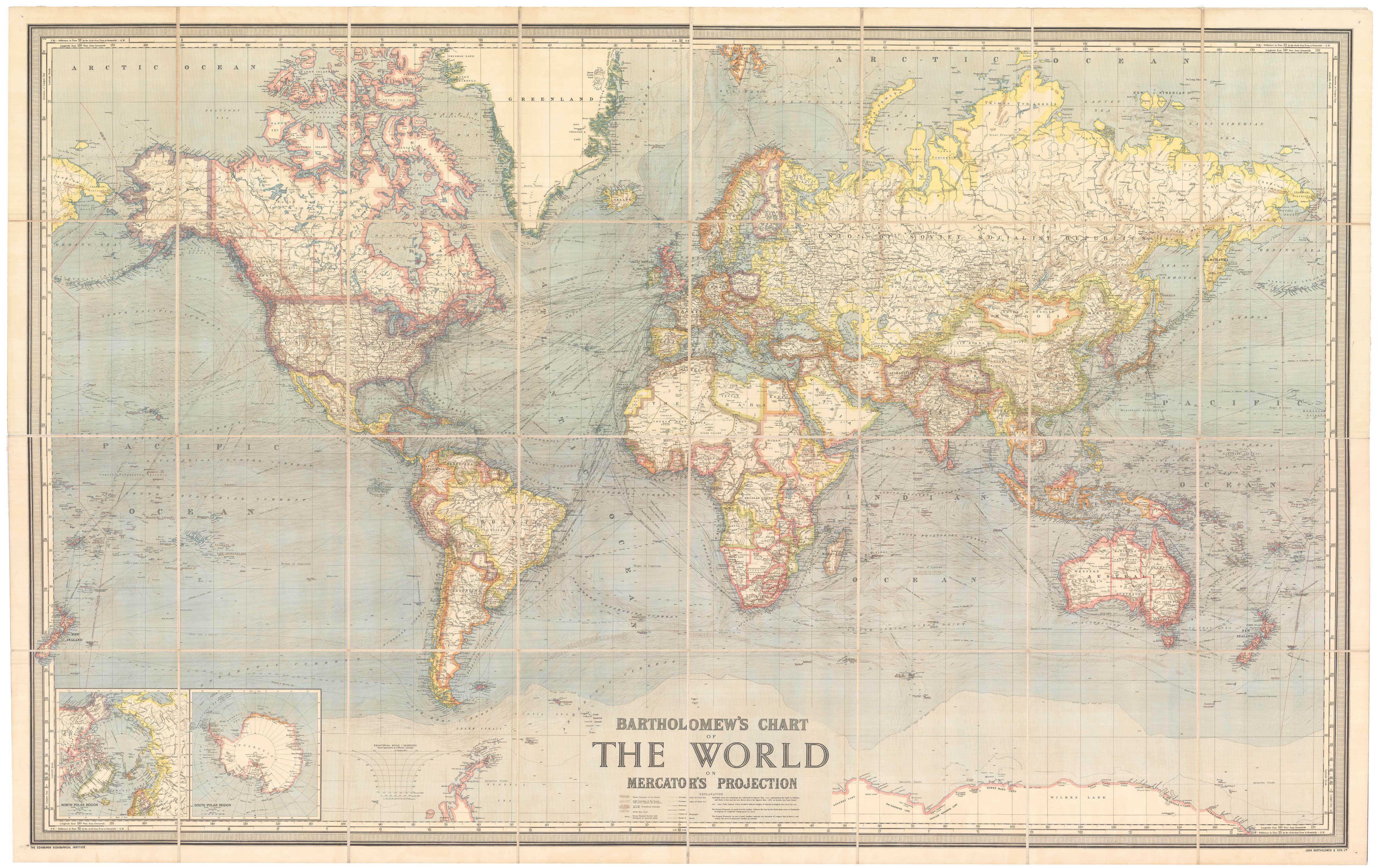


A wall map of the world between the World Wars
Bartholomew's Chart of the World on Mercator's Projection.
Edinburgh: John Bartholomew & Son Ltd, c.1950. Colour lithographic map, dissected and laid on linen, as issued, total 1185 x 1860mm.
£1,500.00
1 in stock
x
Question About This Item?
A wall map of the world between the World Wars & BARTHOLOMEW, John.Stock #: 24074Similar to Sell?
Description
A very large and colourful map of the world, with the British Empire in red. The map has been constantly updated since the early 20th century: this example marks the independence of Pakistan (1947) and Israel (1948).
Condition:
Pin holes in corners.Related products
-
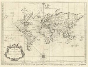
18th century nautical chart on Mercator’s Projection
BELLIN, Jacques-Nicolas. Date: 1750Stock #: 25151 £1,600.00 -
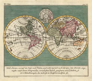
An 18th century double-hemisphere world map
HEYDT. Johann Wolfgang. Date: 1744Stock #: 17069 £650.00 -
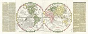
A double-hemisphere map of the world on two sheets
LAS CASAS, Emmanuel. Date: 1832Stock #: 21709 £450.00 -
18th century double-hemisphere world map
MONATH, Peter Conrad. Date: 1749Stock #: 20464 £1,250.00 -
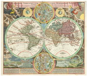
18th century double-hemisphere world map with celestial insets
HOMANN, Johann Baptist. Date: 1720Stock #: 24164 £2,200.00 -

A full-size facsimile of ‘Carta Marina’
WALDSEEMULLER, Martin. Date: 1959Stock #: 25455 £2,750.00 -
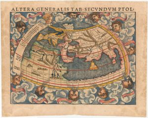
A 16th century woodcut map of the world according to Ptolemy
MUNSTER, Sebastian. Date: 1572Stock #: 24575 £1,300.00 -
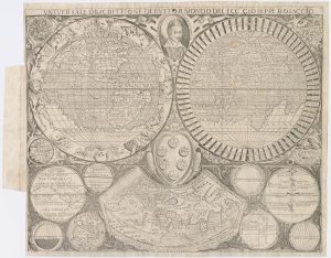
A scarce world map after Giuseppe Rosaccio
ROSACCIO, Alovisio. Date: 1610Stock #: 22849 £4,500.00 -
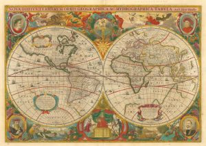
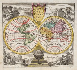
‘A fine ornate example of the decorative cartography of the time’
HONDIUS, Henricus. Date: 1641Stock #: 24127 £8,000.00