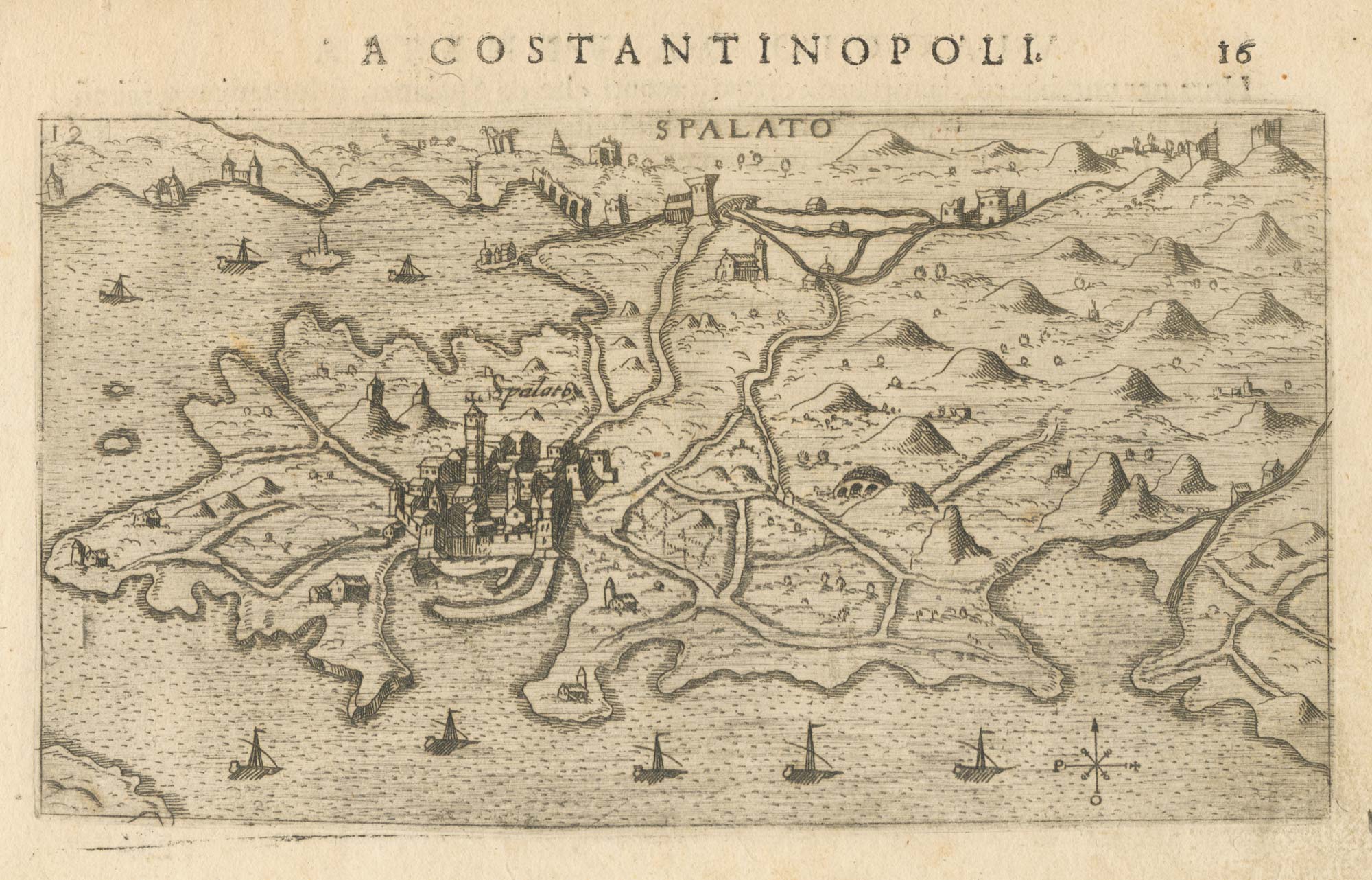


A 16th century map of Split, Croatia
Spalato.
Venice: Giacomo Franco, 1598. 100 x 175mm.
£325.00
Description
A scarce map of the environs of Split in Croatia, with the town shown in profile.
It was published in Rosaccio's 'Viaggio da Venetia a Costantinopoli'.
Condition:
A good example.Related products
-
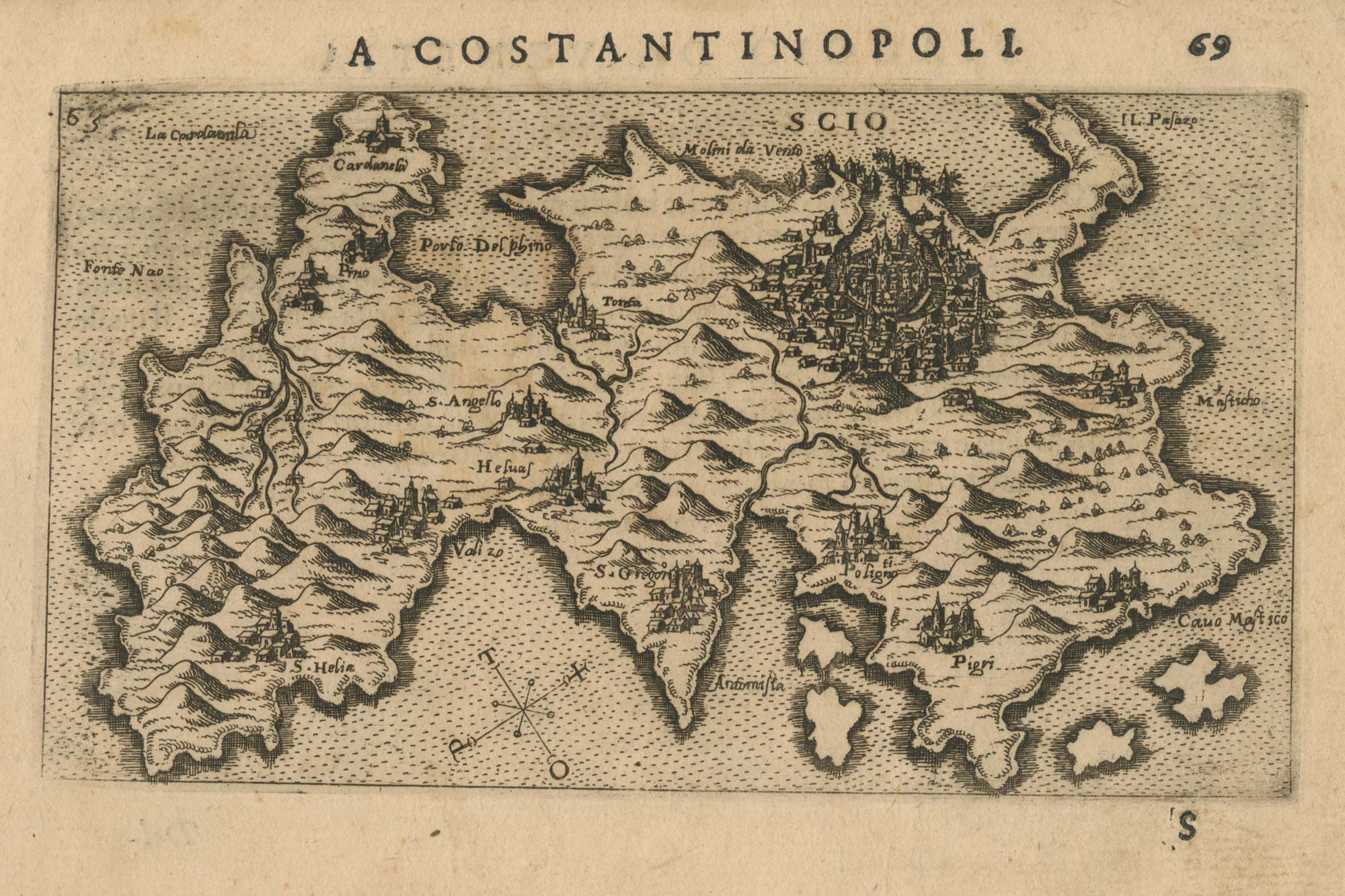
Croatia and Bosnia from the first English Edition of the ‘Atlas Minor’
HONDIUS, Jodocus. Date: 1635Stock #: 22442 £120.00 -

The Venetian fort of Zadar in Croatia
CORONELLI, Vincenzo Maria. Date: 1700Stock #: 23365 £350.00 -
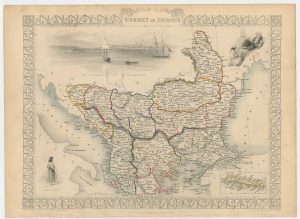
The Ottoman dominions in Europe
TALLIS, John. Date: 1851Stock #: 21627 £130.00 -
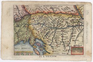
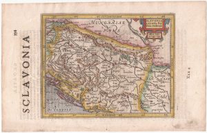
Miniature map of Dalmatia
ORTELIUS, Abraham. Date: 1655Stock #: 9016 £120.00 -
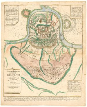
Rare plan of the Ottoman siege of Belgrade, 1739
HAUPT, Gottfried Jacob. Date: 1739Stock #: 20549 £1,400.00 -
Scarce 16th century Venetian map of the coast of Montenegro
CAMOCIO, Giovanni Francesco. Date: 1575Stock #: 13468 £500.00 -
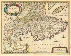
17th century map of Istria
BLAEU, Johannes. Date: 1638Stock #: 24791 £450.00 -
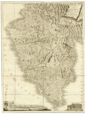
A scarce 18th century map of Istria.
CAPELLARIS, Giovanni Antonio, Date: 1797Stock #: 25315 £1,200.00 -
An early map of Hvar, Croatia
ROSACCIO, Giuseppe. Date: 1713Stock #: 21184 £220.00
Items by the same author
[ti_wishlists_addtowishlist]
[ti_wishlists_addtowishlist]
[ti_wishlists_addtowishlist]
[ti_wishlists_addtowishlist]
[ti_wishlists_addtowishlist]
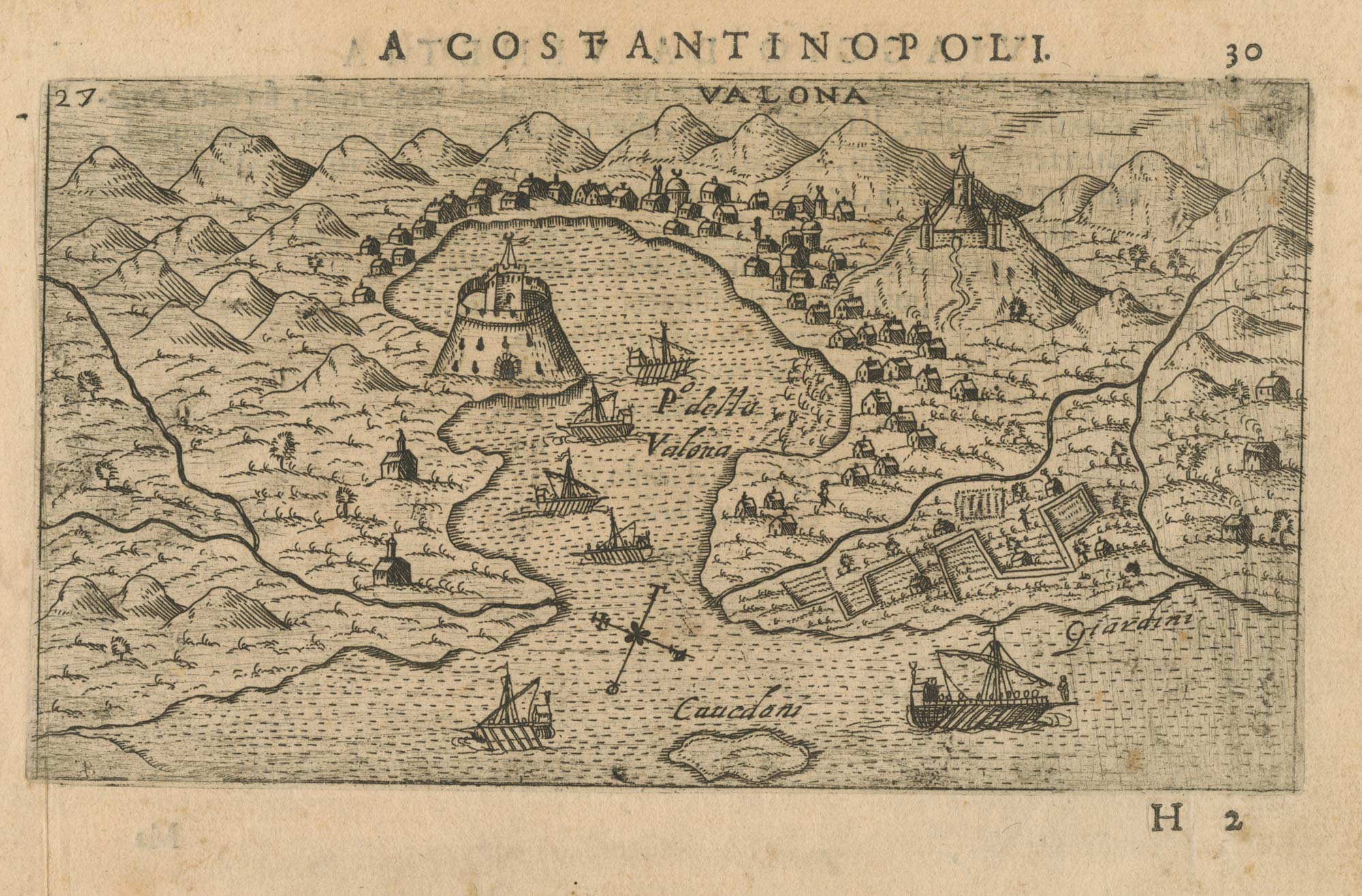
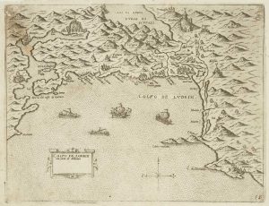
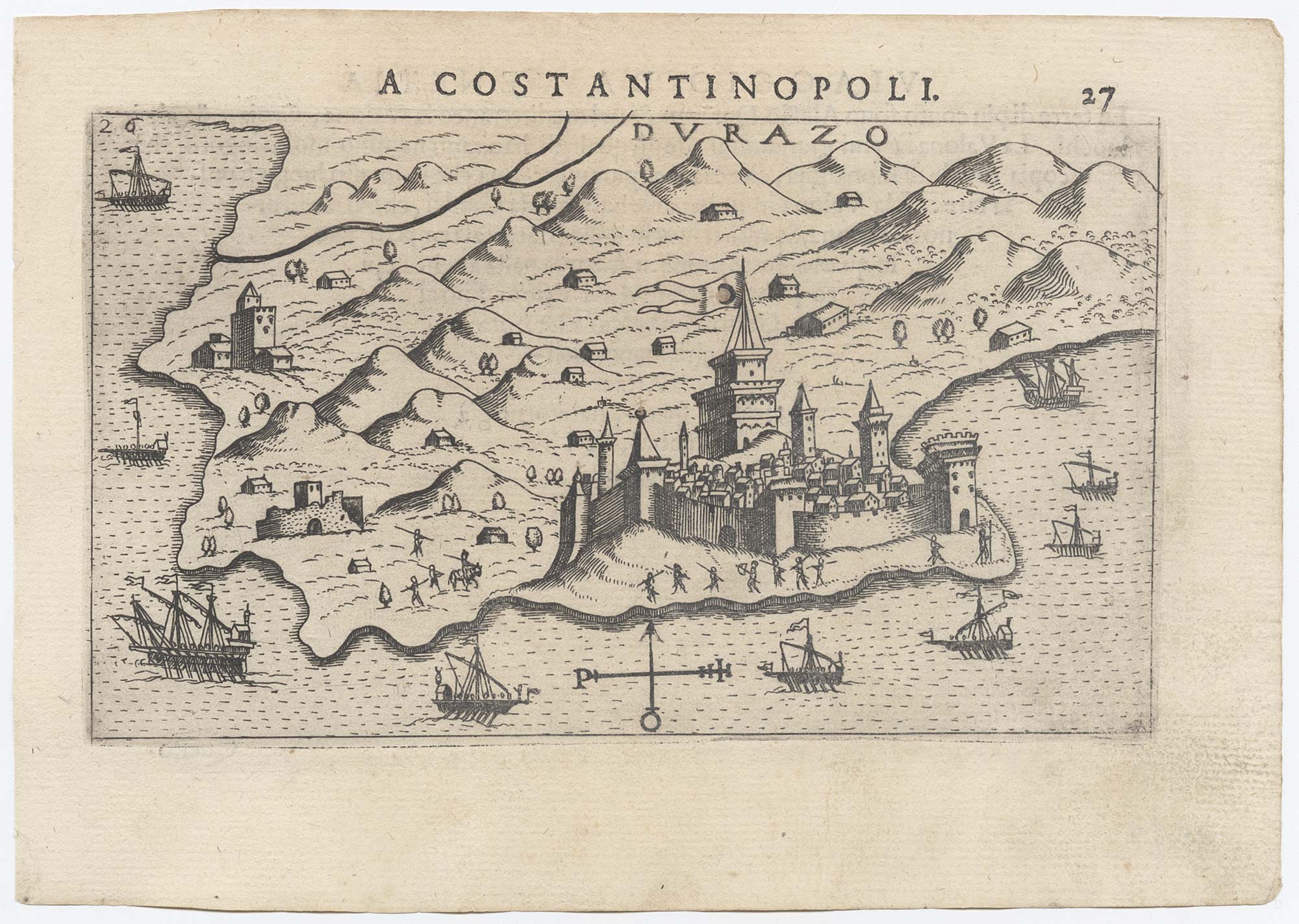
A 16th century map of the environs of Vlorë, Albania
ROSACCIO, Giuseppe. Date: 1598 Stock #: 25045 £250.00
[ti_wishlists_addtowishlist]