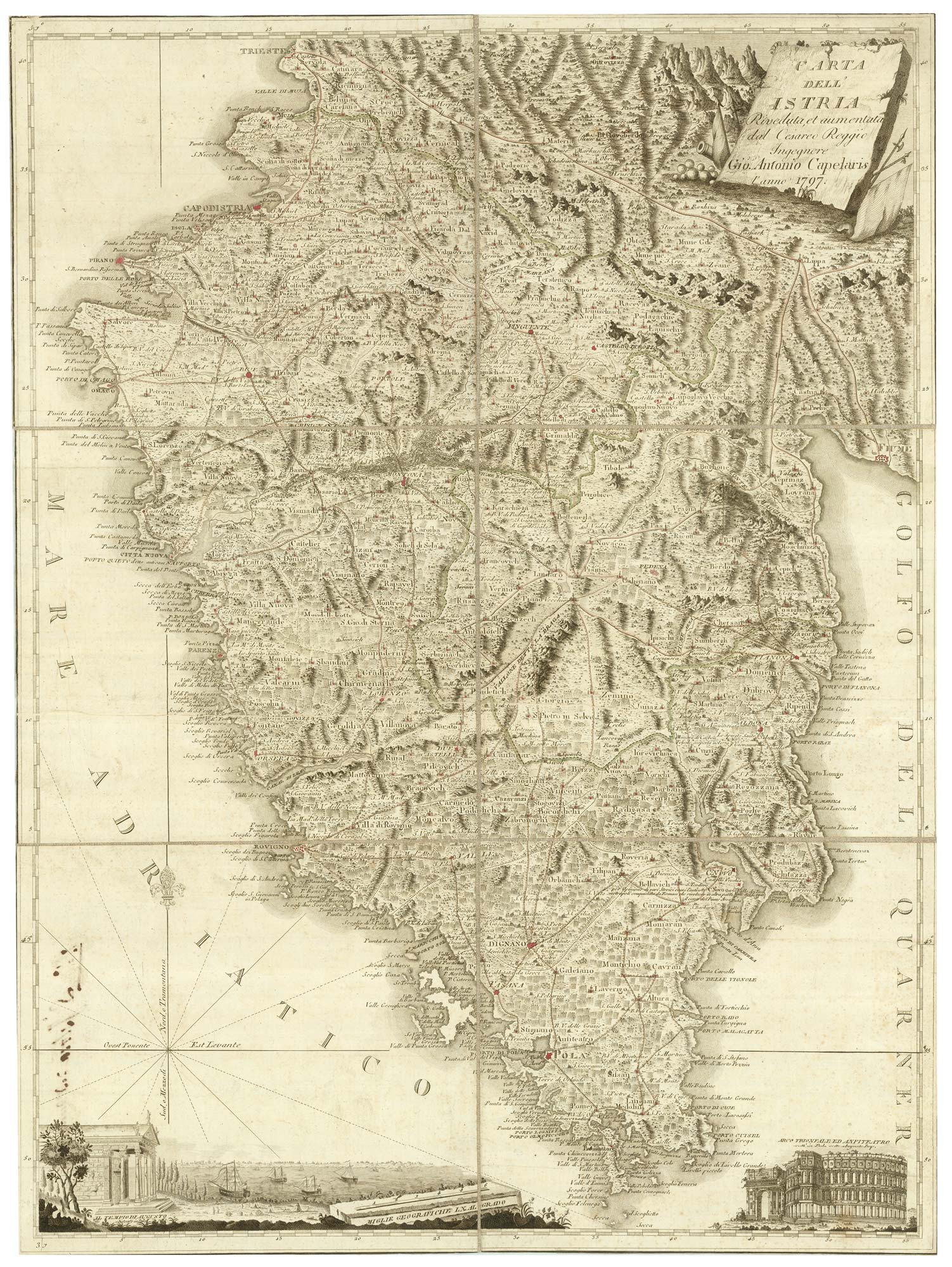


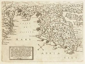
A scarce 18th century map of Istria.
Carta dell' Istria Riveduta, et aumentata dal Cesareo Reggio Ingegnere Gio. Antonio Capelaris l'anno 1797.
Original outline colour. Dissected and laid on linen as issued, total 620 x 465mm.
£1,200.00
1 in stock
x
Question About This Item?
A scarce 18th century map of Istria. & CAPELLARIS, Giovanni Antonio,Stock #: 25315Similar to Sell?
Description
A detailed map of Istria, marking Trieste, Parenzo, Rovigno, Pula and Fiume,, with the roads shown. It is decorated with a view of the Pula Arena, a Roman amphitheatre, a decorative scale cartouche depicting the Temple of Agustus and a trompe-l'oeil slab for the main title.
Condition:
A good example.Related products
-
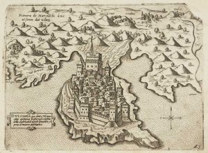
Scarce 16th century Venetian plan of Ulcinj
CAMOCIO, Giovanni Francesco. Date: 1575Stock #: 13508 £400.00 -
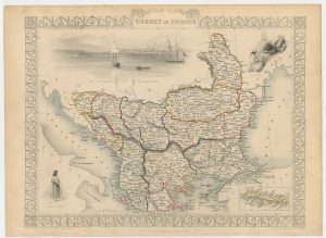
The Ottoman dominions in Europe
TALLIS, John. Date: 1851Stock #: 21627 £130.00 -
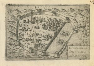
A 16th century town plan of Dubrovnik
VALEGIO, Francesco. Date: 1598Stock #: 24175 £250.00 -
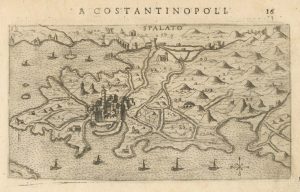
A 16th century map of Split, Croatia
ROSACCIO, Giuseppe. Date: 1598Stock #: 25049 £325.00 -
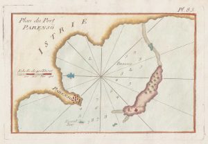
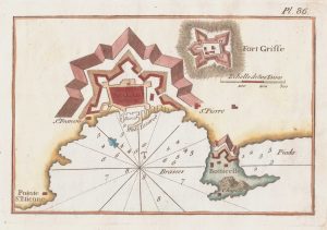
An 18th century chart of Porec, Croatia
ROUX, Joseph. Date: 1764Stock #: 21741 £80.00 -
Scarce 16th century Venetian map of Istria
CAMOCIO, Giovanni Francesco. Date: 1575Stock #: 13495 £650.00 -
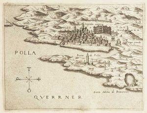
Scarce 16th century Venetian map of Pula, Croatia
CAMOCIO, Giovanni Francesco. Date: 1575Stock #: 13512 £380.00 -
An 18th century chart of Split, Croatia
ROUX, Joseph. Date: 1764Stock #: 21737 £80.00 -
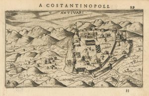
A 16th century Italian map of Bar, Montenegro
ROSACCIO, Giuseppe. Date: 1598Stock #: 25042 £240.00