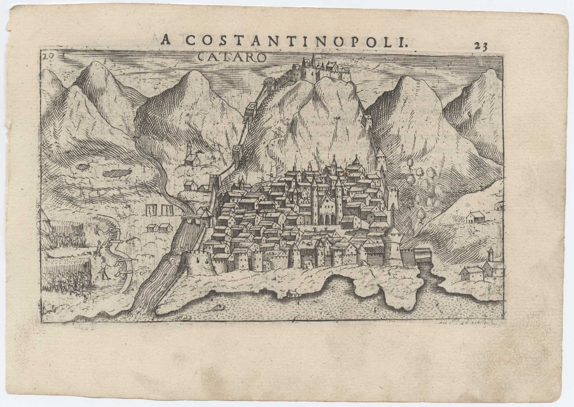


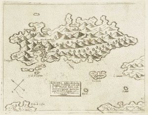
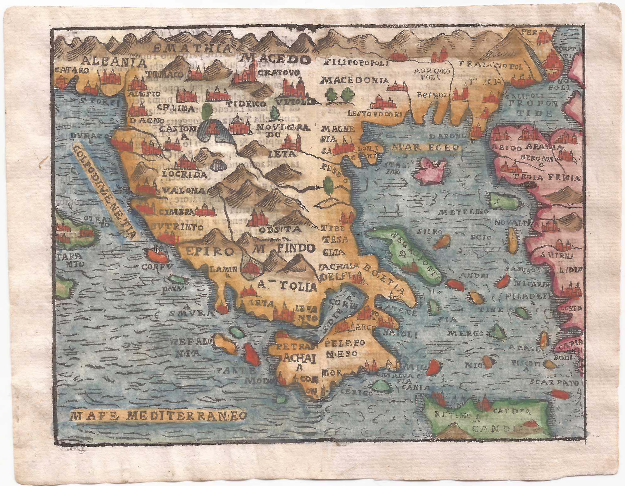
A 16th century map of Kotor, Montenegro
Cataro.
Venice: Giacomo Franco, 1598. 100 x 175mm, set in letterpress.
£220.00
1 in stock
x
Question About This Item?
A 16th century map of Kotor, Montenegro & ROSACCIO, Giuseppe.Stock #: 25631Similar to Sell?
Description
A map of Kotor as a bird's-eye view, showing the city under siege, with the castle and ramparts.
It was published in Rosaccio's 'Viaggio da Venetia a Costantinopoli'.
Condition:
A fine exampleRelated products
-
An 18th century chart of Split, Croatia
ROUX, Joseph. Date: 1764Stock #: 21737 £80.00 -
Miniature map of Dalmatia
ORTELIUS, Abraham. Date: 1655Stock #: 9016 £120.00 -
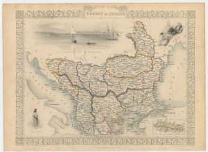
The Ottoman dominions in Europe
TALLIS, John. Date: 1851Stock #: 21627 £130.00 -
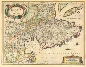
17th century map of Istria
BLAEU, Johannes. Date: 1638Stock #: 24791 £450.00 -
Scarce 16th century Venetian map of Hvar in Croatia
CAMOCIO, Giovanni Francesco. Date: 1572Stock #: 13482 £450.00 -
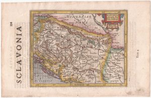
Croatia and Bosnia from the first English Edition of the ‘Atlas Minor’
HONDIUS, Jodocus. Date: 1635Stock #: 22442 £120.00 -
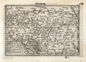
A 16th century miniature map of Illyricum
LANGENES, Barent. Date: 1599Stock #: 21302 £120.00 -
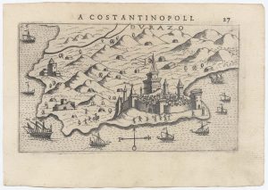
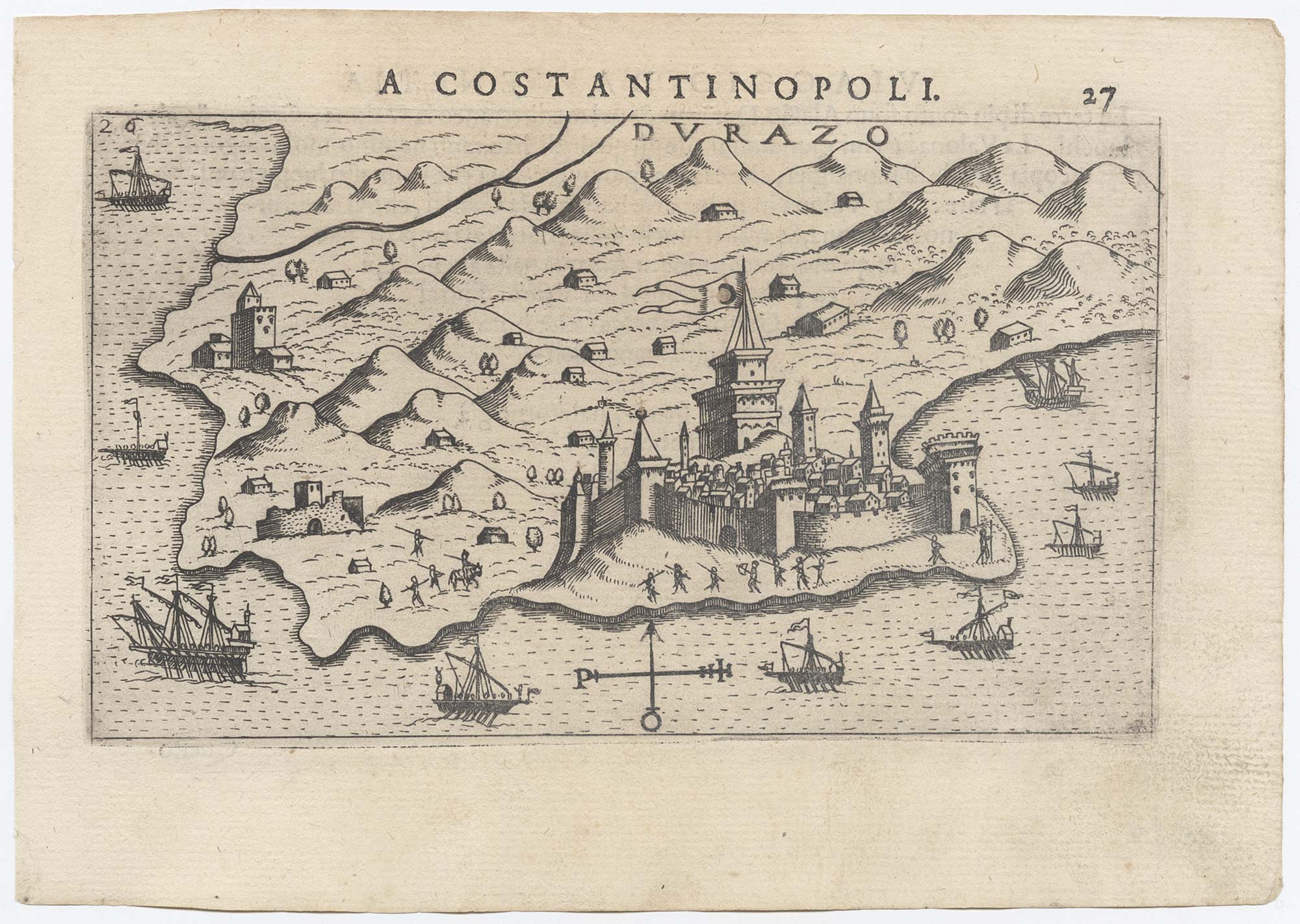
Early plan of Durrës, Albania
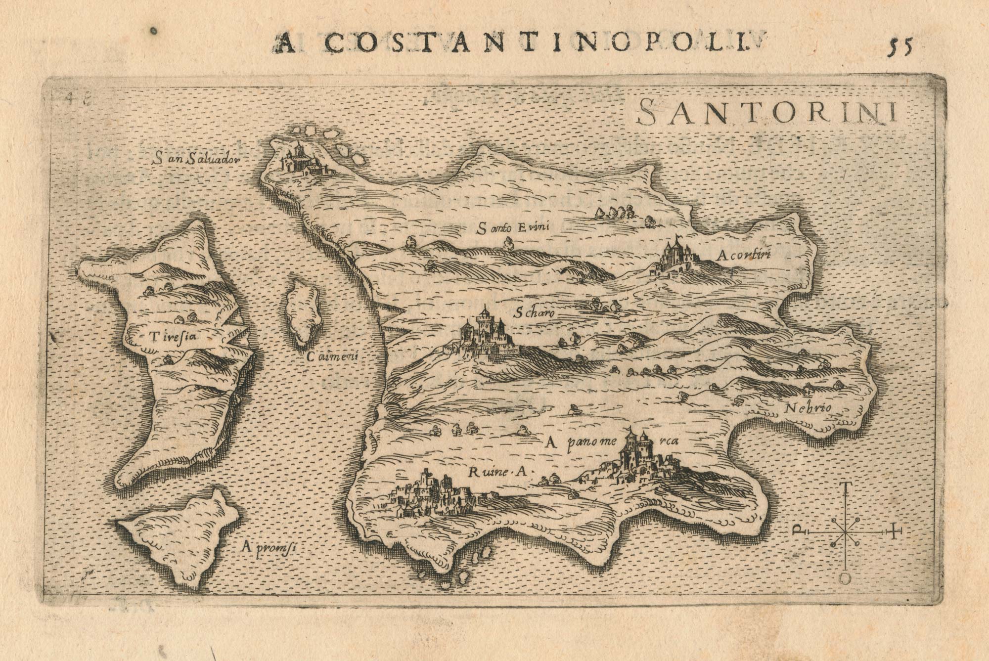
ROSACCIO, Giuseppe. Date: 1598Stock #: 25628 £300.00 -

A rare view of Dubrovnik, with decorative borders
LOCATELLI, Alessandro. Date: 1691Stock #: 21034 £500.00
Items by the same author
[ti_wishlists_addtowishlist]
[ti_wishlists_addtowishlist]
[ti_wishlists_addtowishlist]
[ti_wishlists_addtowishlist]
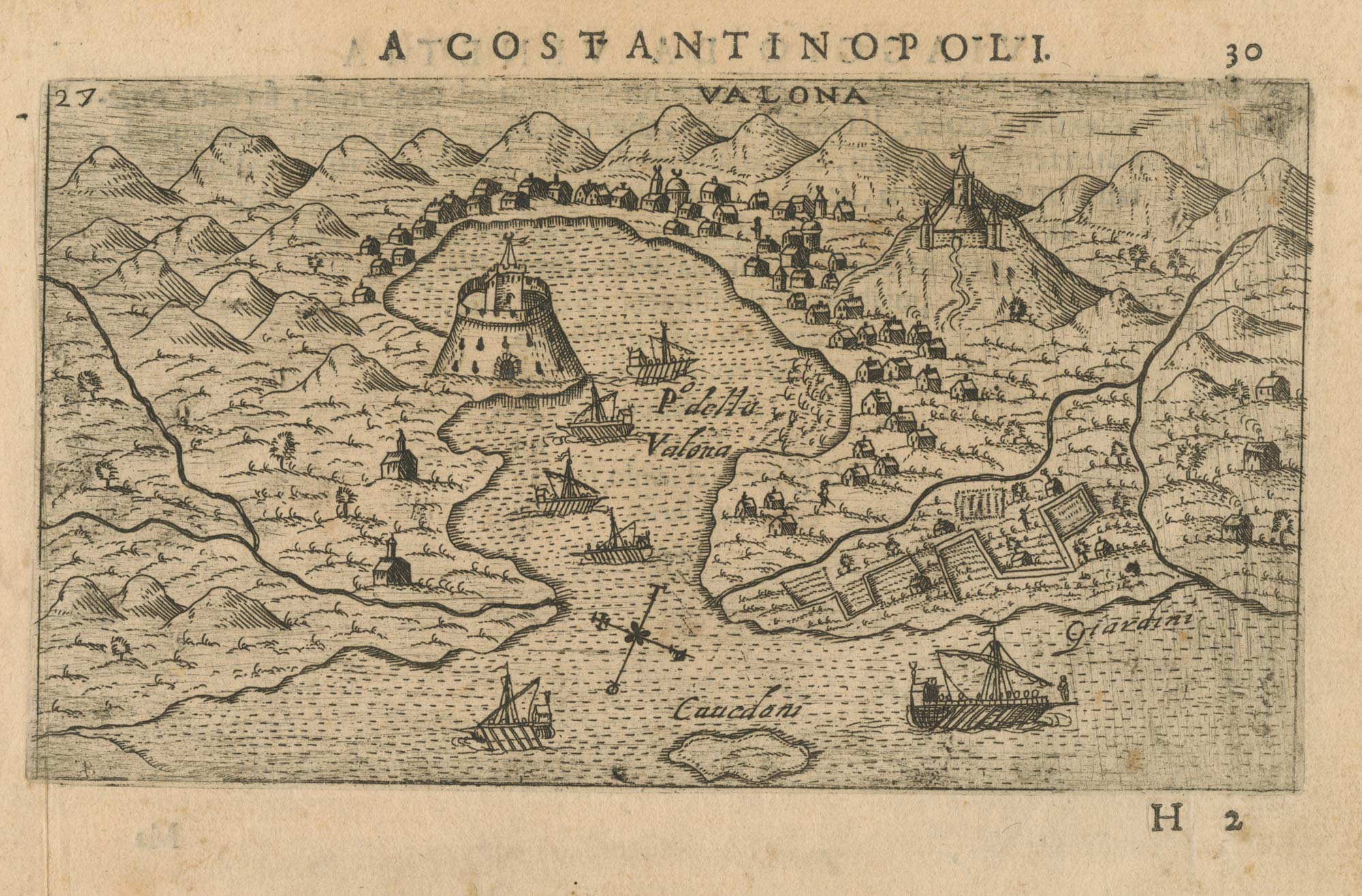
A 16th century map of the environs of Vlorë, Albania
ROSACCIO, Giuseppe. Date: 1598 Stock #: 25045 £250.00
[ti_wishlists_addtowishlist]
[ti_wishlists_addtowishlist]