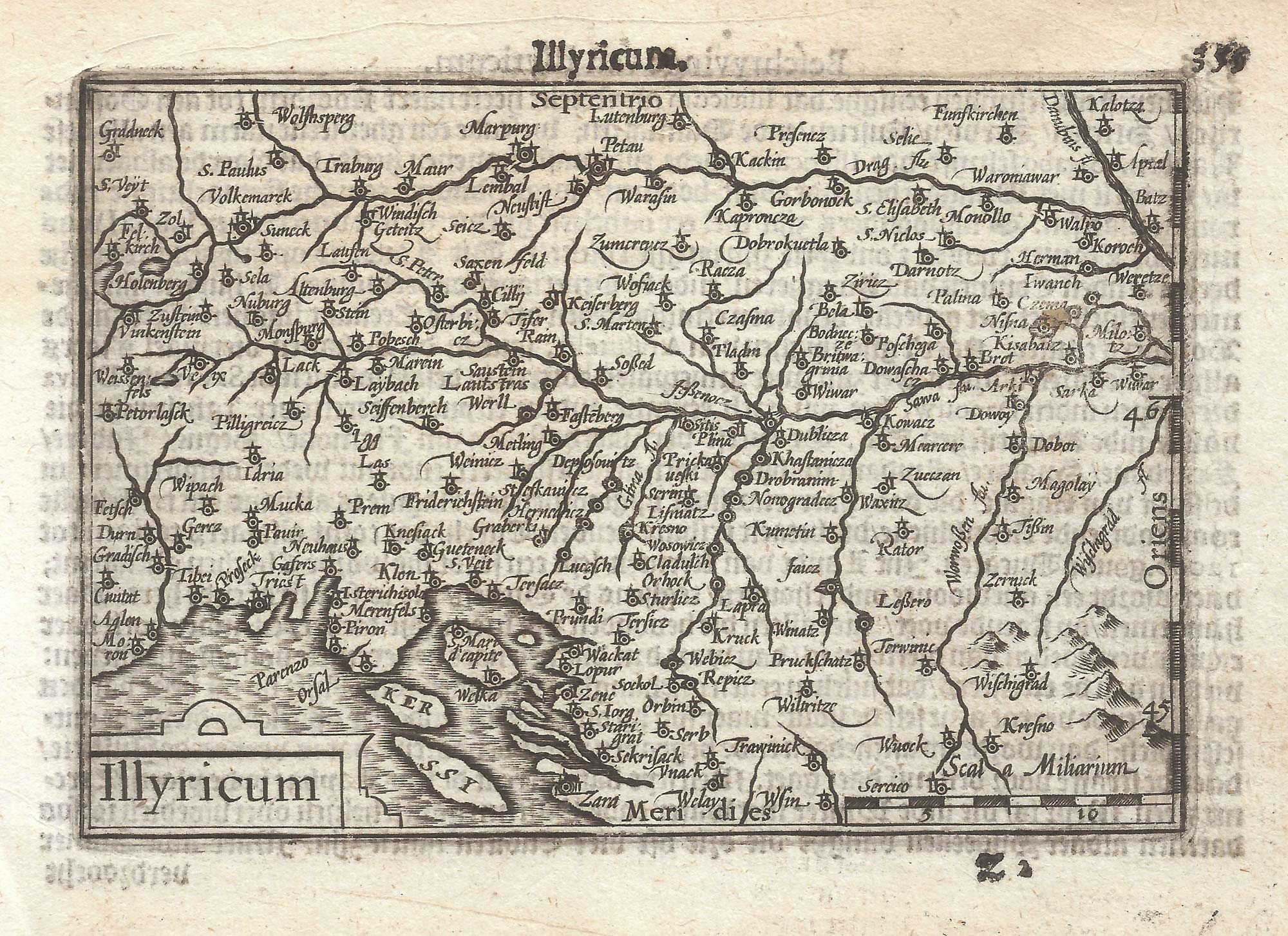


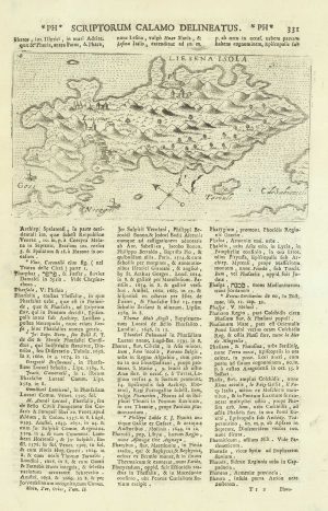
A 16th century miniature map of Illyricum
Illyricum.
Amsterdam, Cornelis Claez, 1599, Dutch text edition. 85 x 125mm, with letterpress surtitle and pagination.
£120.00
1 in stock
x
Question About This Item?
A 16th century miniature map of Illyricum & LANGENES, Barent.Stock #: 21302Similar to Sell?
Description
A scarce map of the northern Balkans, engraved by either Jodocus Hondius or Pieter van den Keere for the 'Caert-Thresoor', with a text by an unknown author. Despite being published only a year after the first edition, this is a second state: the right border has been re-engraved with latitude graduations.
By 1600 this map was being published in the 'Tabularum Geographicarum Contractarum' with a text by Petrus Bertius, and in 1616 a new plate was engraved by Jodocus Hondius II, slightly larger and with wider borders with scales of longitude and latitude.
Condition:
A good example.Related products
-
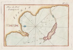
An 18th century chart of Porec, Croatia
ROUX, Joseph. Date: 1764Stock #: 21741 £80.00 -
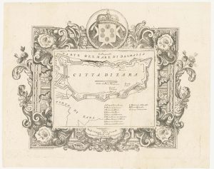
Miniature map of Dalmatia
ORTELIUS, Abraham. Date: 1655Stock #: 9016 £120.00 -
Scarce 16th century Venetian map of Herceg Novi, Montenegro
CAMOCIO, Giovanni Francesco. Date: 1575Stock #: 13489 £300.00 -
A four-sheet map of the Russo-Turkish War of 1768-74
LOTTER, Tobias Conrad. Date: 1719Stock #: 24964 £1,500.00 -
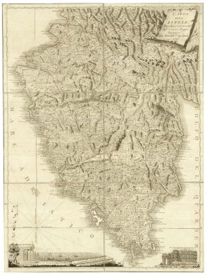
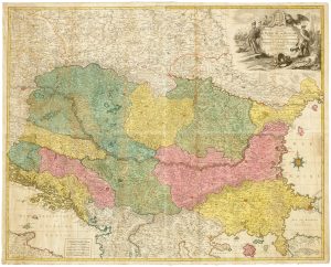
A scarce 18th century map of Istria.
CAPELLARIS, Giovanni Antonio, Date: 1797Stock #: 25315 £1,200.00 -
The Venetian city of Zadar in Croatia
CORONELLI, Vincenzo Maria. Date: 1700Stock #: 23367 £350.00 -
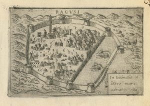
A 16th century town plan of Dubrovnik
VALEGIO, Francesco. Date: 1598Stock #: 24175 £250.00 -
An early map of Hvar, Croatia
ROSACCIO, Giuseppe. Date: 1713Stock #: 21184 £220.00 -
Scarce 16th century Venetian plan of Ulcinj
CAMOCIO, Giovanni Francesco. Date: 1575Stock #: 13508 £400.00
Items by the same author
[ti_wishlists_addtowishlist]

[ti_wishlists_addtowishlist]

A 16th century miniature map of Saxony, Thuringia & Meissen
LANGENES, Barent. Date: 1599 Stock #: 21173 £50.00
[ti_wishlists_addtowishlist]

[ti_wishlists_addtowishlist]

[ti_wishlists_addtowishlist]

A 16th century miniature map of the Comtat Venaissin
LANGENES, Barent. Date: 1599 Stock #: 21137 £55.00
[ti_wishlists_addtowishlist]
