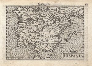
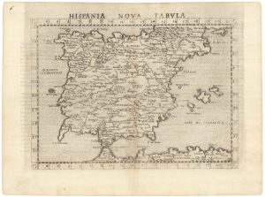
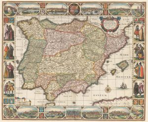
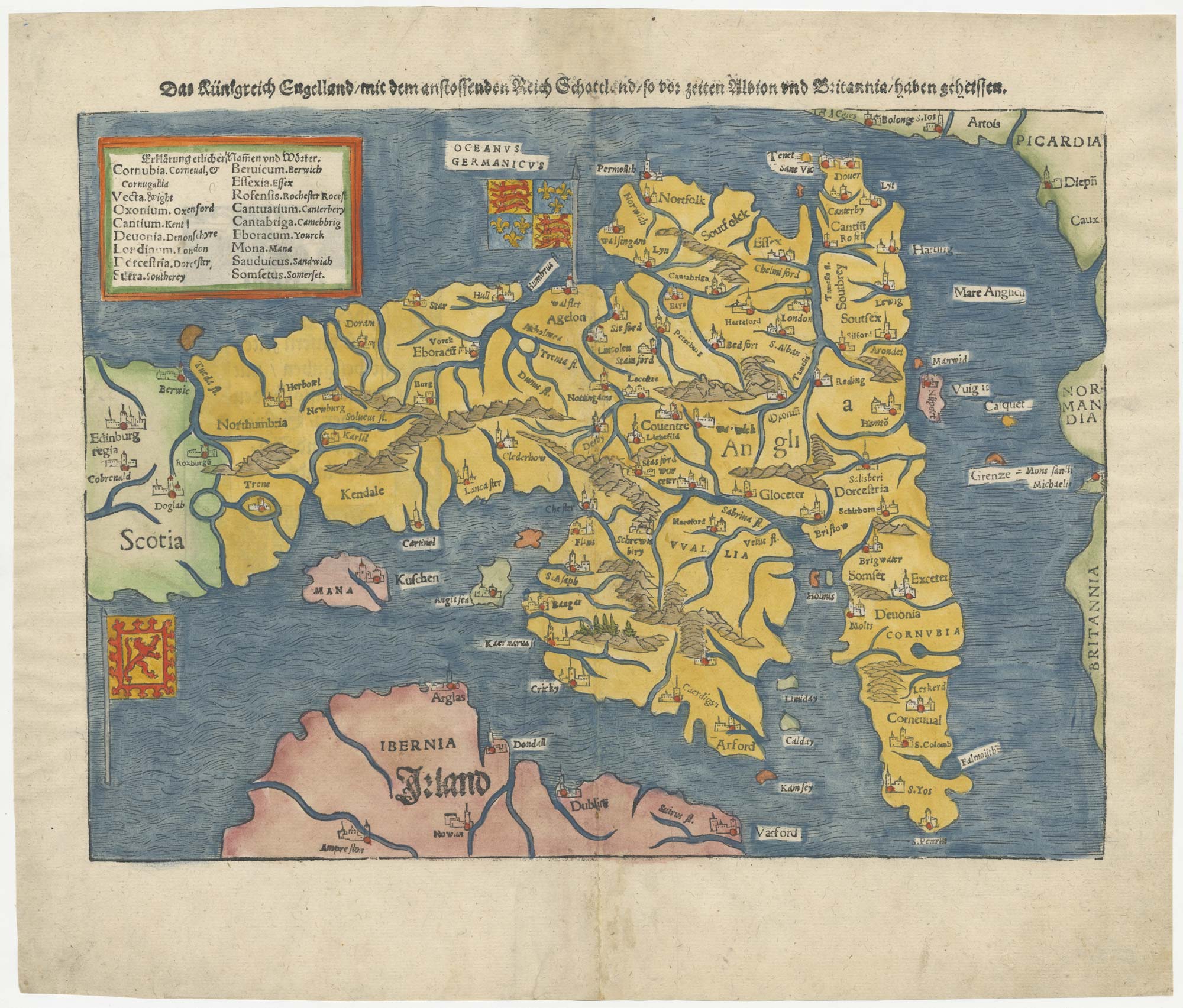
Munster’s map of the Iberian Peninsula
Hispania Tabula.
Basle, 1572. Latin text edition. Coloured woodcut, printed area 295 x 375mm.
£400.00
1 in stock
x
Question About This Item?
Munster’s map of the Iberian Peninsula & MUNSTER, Sebastian.Stock #: 24579Similar to Sell?
Description
One of the earliest obtainable maps of Spain and Portugal, published in Munster's 'Cosmographia'.
Condition:
Small repairs in bottom margin.Related products
-
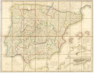
A large French edition of Lopez’s map of Iberia
LOPEZ, Thomas. Date: 1820Stock #: 23293 £850.00 -
17th century map of Spain and Portugal
MERIAN, Matthaus. Date: 1640Stock #: 22805 £300.00 -
A 16th century miniature map of Spain and Portugal
LANGENES, Barent. Date: 1599Stock #: 21336 £240.00 -
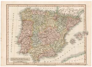
19th century map of Spain and Portugal
SMITH, Charles. Date: 1820Stock #: 22435 £80.00 -
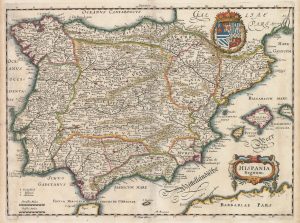
A 16th century map of Spain and Portugal
RUSCELLI, Girolamo. Date: 1557Stock #: 22239 £260.00 -
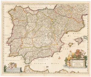
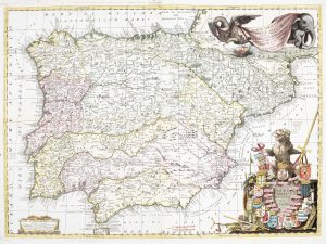
17th century Dutch map of Spain and Portugal in fine colour
VISSCHER, Nicolas Jansz. Date: 1680Stock #: 22490 £750.00 -
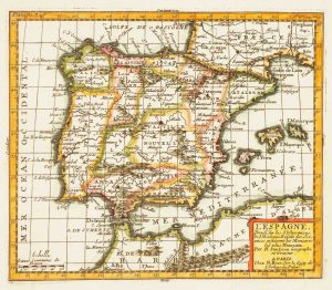
Early 18th century map of Iberia
BION, Nicolas. Date: 1710Stock #: 11338 £160.00 -
A rare ‘carte à figure’ map of Spain and Portugal, first state
VISSCHER, Claes Janszoon. Date: 1638Stock #: 22257 £4,400.00 -
An impressive two-sheet map of Spain and Portugal
CORONELLI, Vincenzo Maria. Date: 1691Stock #: 21062 £1,800.00
Items by the same author
[ti_wishlists_addtowishlist]
[ti_wishlists_addtowishlist]
[ti_wishlists_addtowishlist]
[ti_wishlists_addtowishlist]