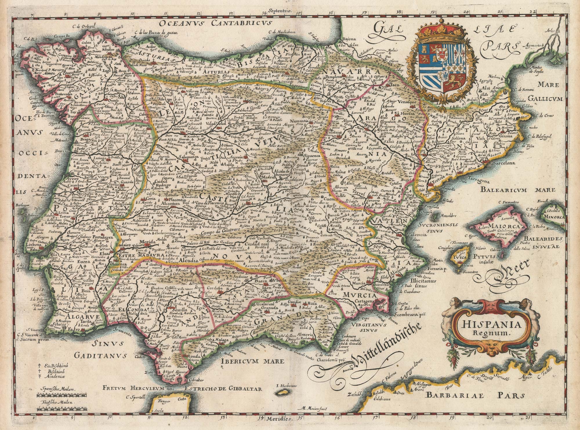


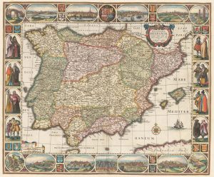
17th century map of Spain and Portugal
Hispania Regnum.
Frankfurt, c.1640. Coloured, 270 x 360mm
£300.00
Description
An attractive map of Spain and Portugal, with the Spanish Royal arms and a decorative title cartouche.
Condition:
A good example.Related products
-
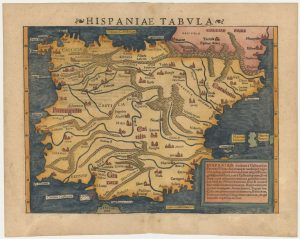
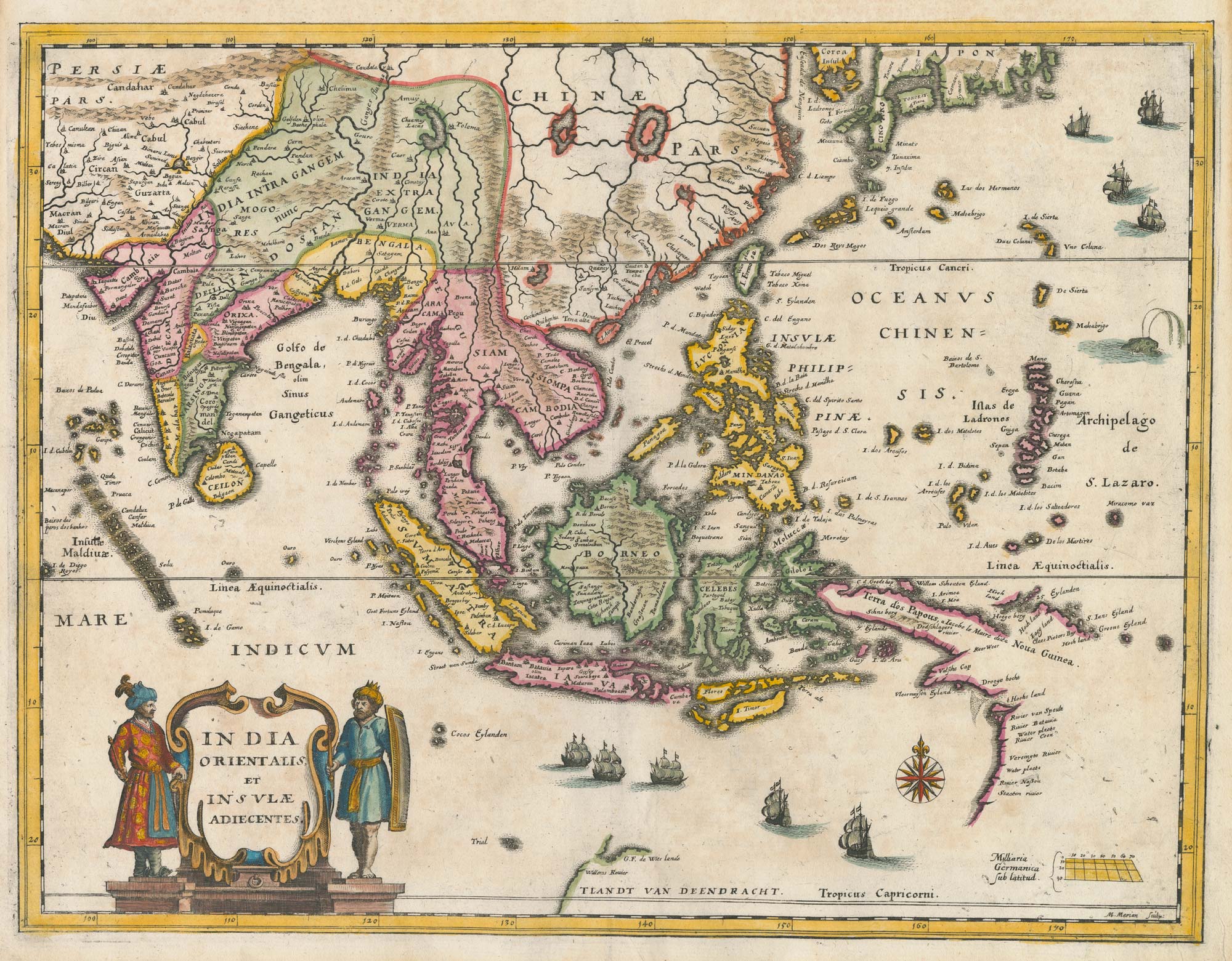
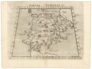
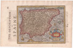
Munster’s map of the Iberian Peninsula
MUNSTER, Sebastian. Date: 1572Stock #: 24579 £400.00 -
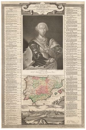
A rare broadsheet chronology of the kings of Spain
NEGGES, Johann Simon. Date: 1760Stock #: 24389 £1,100.00 -
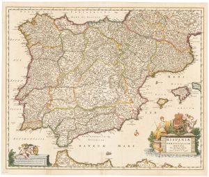
17th century Dutch map of Spain and Portugal in fine colour
VISSCHER, Nicolas Jansz. Date: 1680Stock #: 22490 £750.00 -
Ruscelli’s map of Ptolemaic Iberia, first state.
RUSCELLI, Girolamo. Date: 1557Stock #: 22240 £220.00 -
A monumental wall map of Spain early in the War of the Spanish Succession
FER, Nicolas de. Date: 1704Stock #: 24125 £12,000.00 -
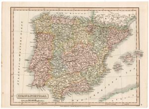
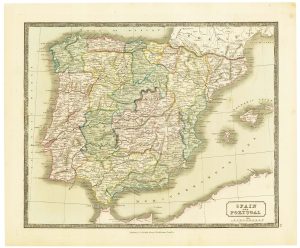
19th century map of Spain and Portugal
SMITH, Charles. Date: 1820Stock #: 22435 £80.00 -
Spain from the first English Edition of the ‘Atlas Minor’
HONDIUS, Jodocus. Date: 1635Stock #: 22394 £240.00 -
Mid-19th century map of Spain and Portugal with fine colour
GELLATLY, John. Date: 1843Stock #: 21657 £110.00 -
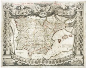
A rare ‘carte à figure’ map of Spain and Portugal, first state
VISSCHER, Claes Janszoon. Date: 1638Stock #: 22257 £4,400.00
Items by the same author
[ti_wishlists_addtowishlist]
[ti_wishlists_addtowishlist]

[ti_wishlists_addtowishlist]
[ti_wishlists_addtowishlist]
[ti_wishlists_addtowishlist]

[ti_wishlists_addtowishlist]