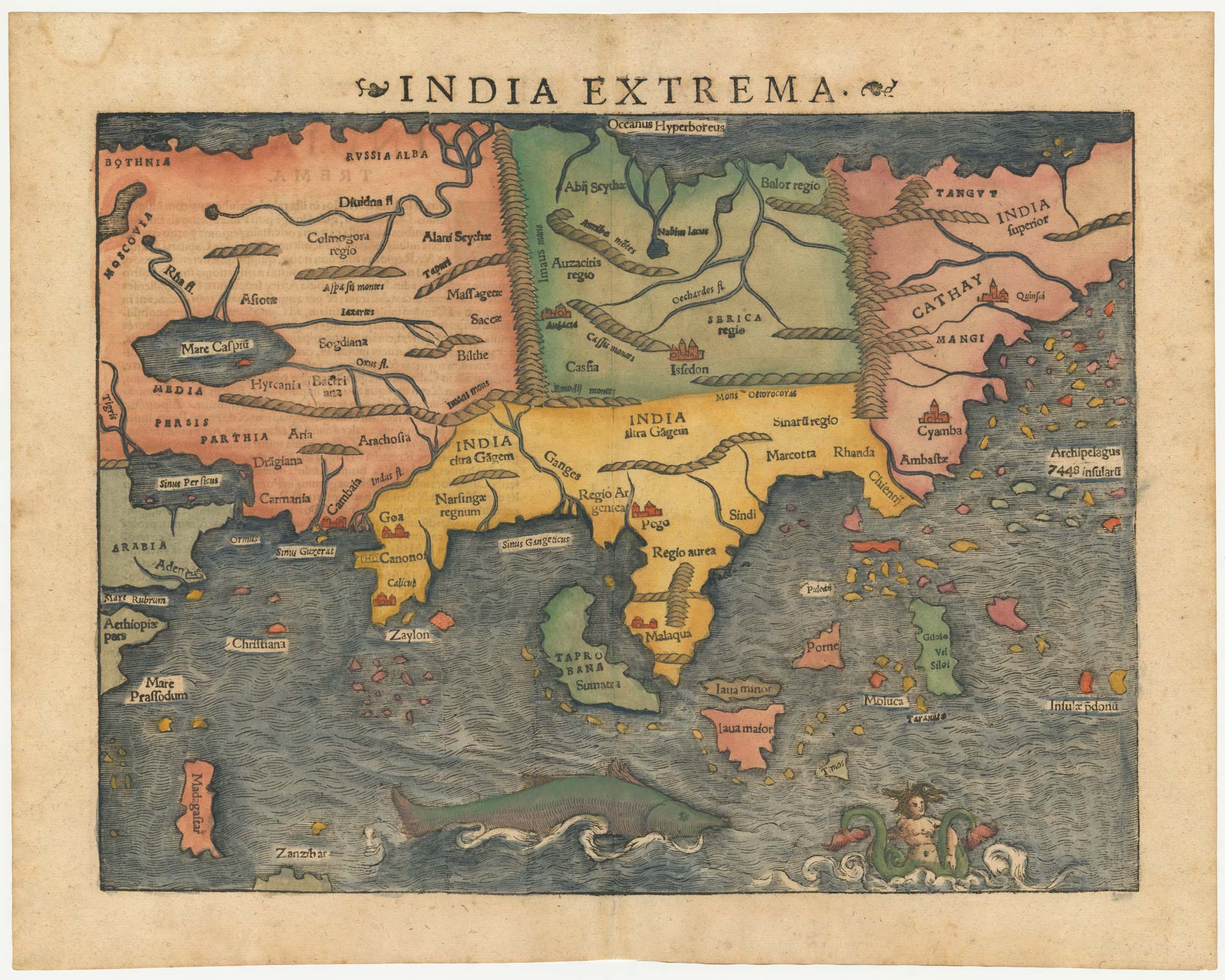


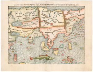
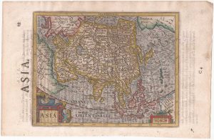
The first printed map of Asia
India Extrema,
Basle, 1572, Latin text edition. Coloured woodcut. Printed area 270 x 345mm.
£1,850.00
Description
Munster's important map of modern Asia, published in his ''Geographia universalis, vetus et nova, complectens Claudii Ptolemaei Alexandrini enarrationis libros VIII''.
Much of the information for this map came from Portuguese sources, indicated by the presence of their Indian colonies Cambay, Goa, Calicut and Kannur. However further east Munster has had to return to Marco Polo's account, written in prison in 1298, for China and the 'Archipelago of 7448 Islands', the Philippines. Ptolemy's 'Taprobana' is now Sumatra rather than Sri Lanka. At the bottom of the map Zanzibar is an island south-east of Madagascar. Decorating the seas is a huge fish and a twin-tailed mermaid.
Condition:
A good example.Related products
-
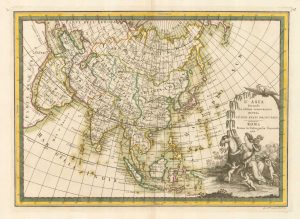
Classic 18th century map of Asia
SEUTTER, Matthaus. Date: 1735Stock #: 23877 £750.00 -
Early 18th century maps of Asia and Africa
SCHERER, Heinrich. Date: 1700Stock #: 21194 £250.00 -
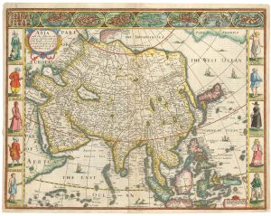
John Speed’s famous map of Asia
SPEED, John. Date: 1676Stock #: 23982 £2,750.00 -
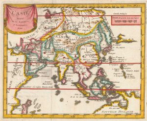
17th century miniature map of Asia
FER, Nicolas de. Date: 1685Stock #: 17837 £220.00 -
An uncommon Italian edition of the first printed map of Asia
MUNSTER, Sebastian. Date: 1558Stock #: 22350 £1,750.00 -
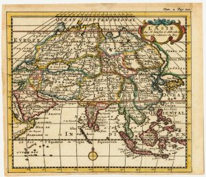
A miniature map of Asia
SANSON, Nicolas. Date: 1735Stock #: 23409 £180.00 -
An uncommon 18th century Italian map of Asia
CASSINI, Giovanni Maria. Date: 1788Stock #: 18132 £580.00 -
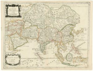
An extremely unusual proof state of Du Val’s map of Asia
DU VAL, Pierre. Date: 1676Stock #: 19002 £2,500.00 -
An English edition of Hondius’s small-format map of Asia
HONDIUS, Jodocus. Date: 1635Stock #: 22451 £280.00
Items by the same author
Add to Wishlist
Add to Wishlist
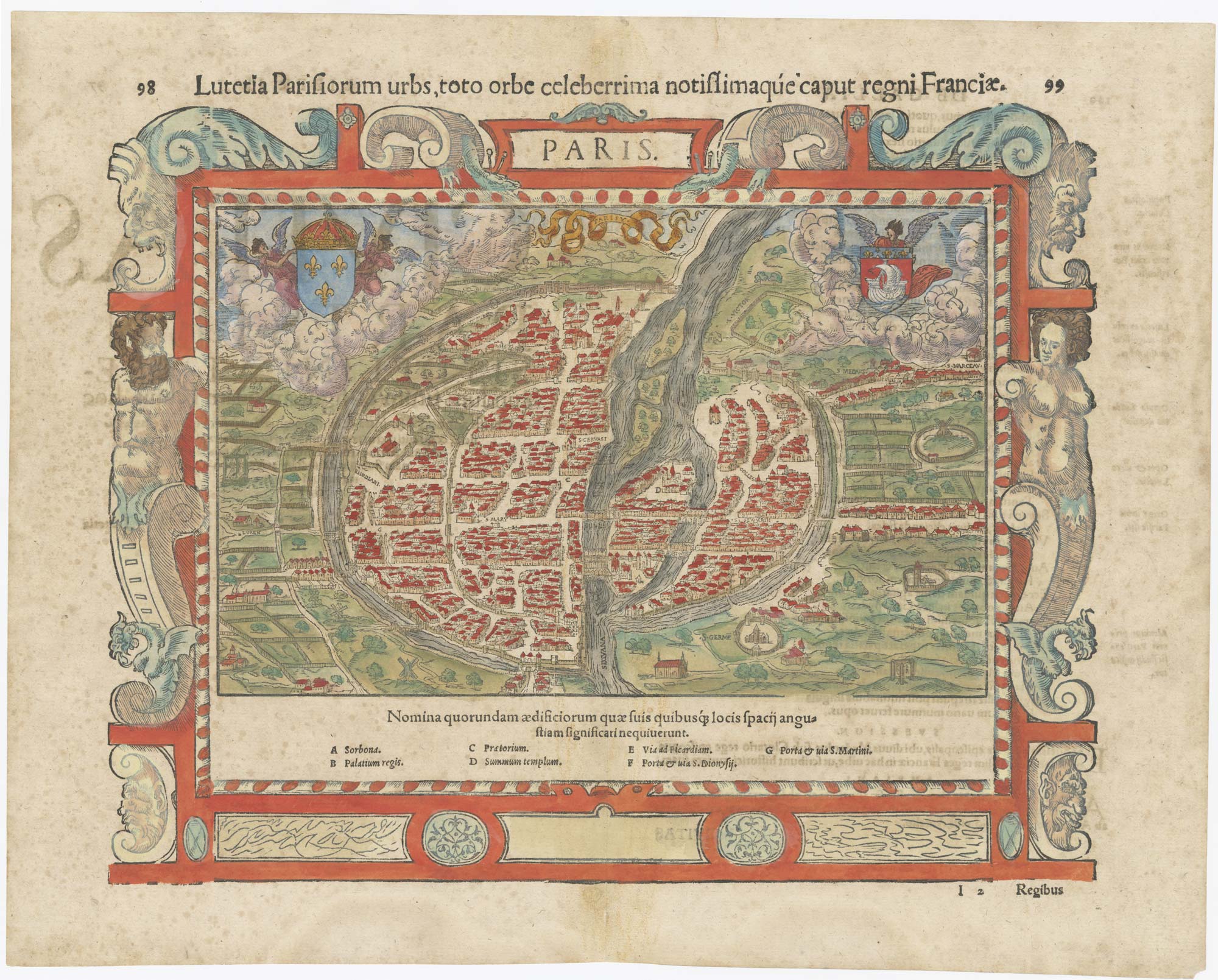
16th century map of Paris
MUNSTER, Sebastian. Date: 1560 Stock #: 25306 £700.00
Add to Wishlist
Add to Wishlist
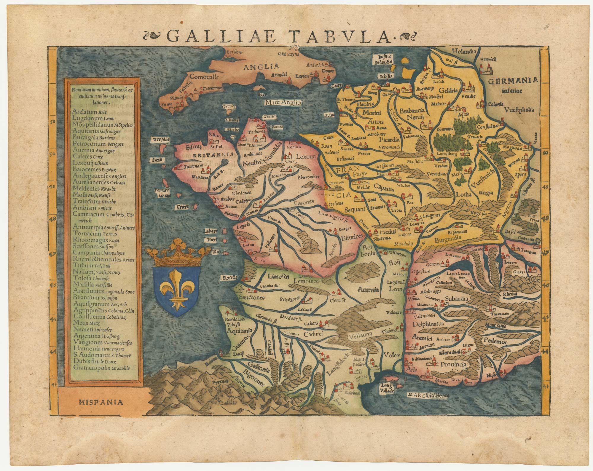
16th century woodblock map of France
MUNSTER, Sebastian. Date: 1572 Stock #: 24580 £380.00
Add to Wishlist
Add to Wishlist
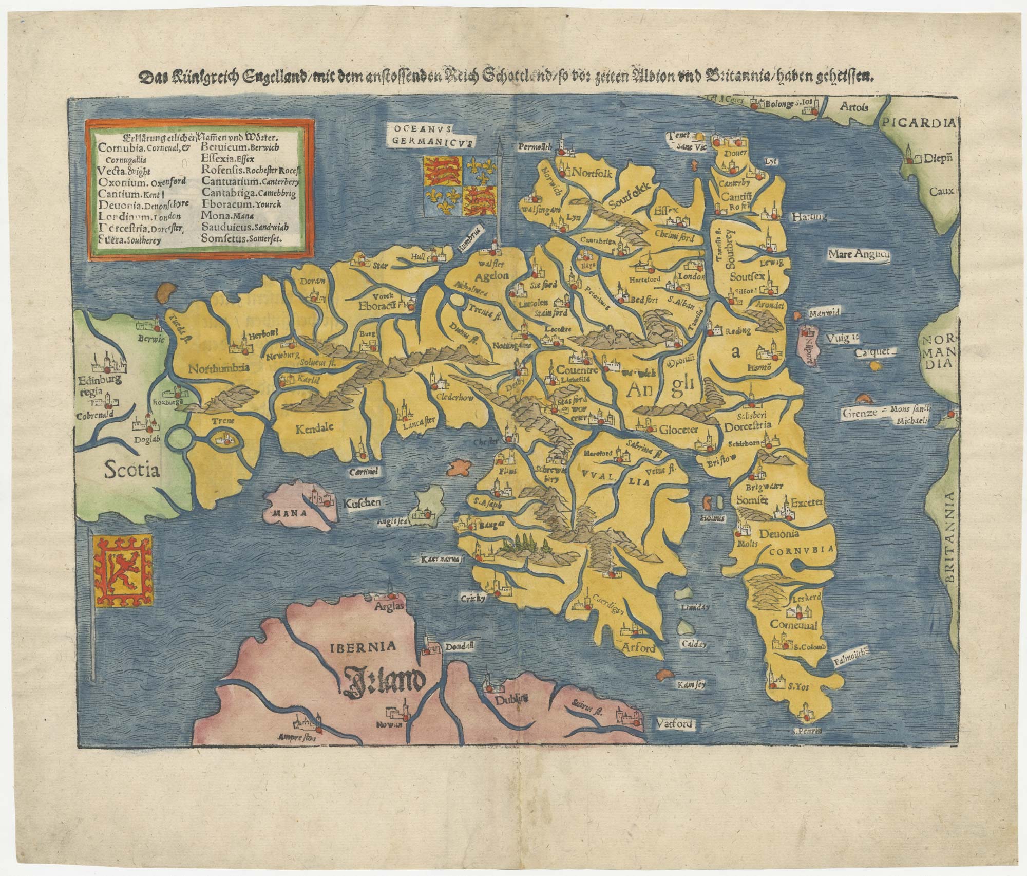
An early woodcut map of England
MUNSTER, Sebastian. Date: 1546 Stock #: 25504 £1,000.00
Add to Wishlist
Add to Wishlist