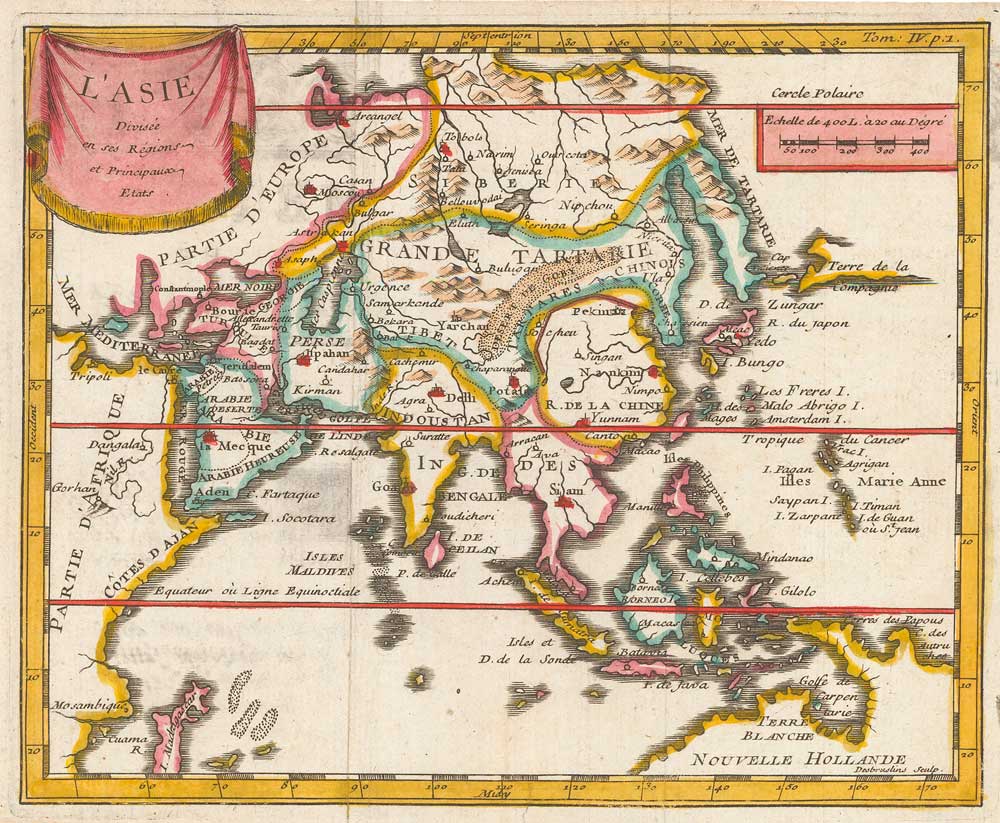


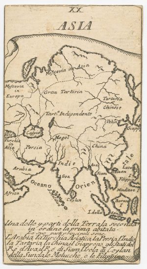
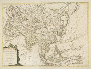
17th century miniature map of Asia
L'Asie divisée en ses regions et principaux etats.
Paris, 1685. Coloured. 150 x 180mm.
£220.00
Description
Miniature map of Asia, engraved by Desbrulins for de Fer's 'Methode pour Apprendre Facilement la Geographie', first published the year before.
Condition:
A good example.Related products
-
An English edition of Hondius’s small-format map of Asia
HONDIUS, Jodocus. Date: 1635Stock #: 22451 £280.00 -
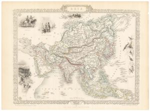
Mid-19th century map of Asia with decorative vignettes
TALLIS, John. Date: 1851Stock #: 21607 £170.00 -
A very scarce Italian playing card of Asia
Anonymous. Date: 1790Stock #: 24231 £350.00 -

16th century woodcut map of Asia according to Ptolemy
HONTER, Johannes. Date: 1546Stock #: 24769 £500.00 -
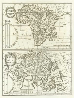
Early 18th century maps of Asia and Africa
SCHERER, Heinrich. Date: 1700Stock #: 21194 £250.00 -
A miniature map of Asia
SANSON, Nicolas. Date: 1735Stock #: 23409 £180.00 -
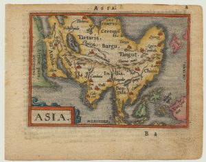
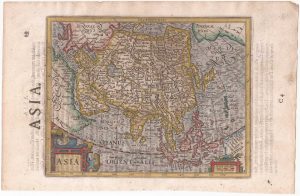
A 16th century miniature map of Asia
ORTELIUS, Abraham. Date: 1593Stock #: 20997 £200.00 -
Late 18th century map of Asia
SOCIETA CALCOGRAFICA. Date: 1799Stock #: 7742 £650.00 -
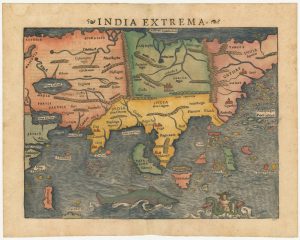
The first printed map of Asia
MUNSTER, Sebastian. Date: 1572Stock #: 24565 £1,850.00
Items by the same author
[ti_wishlists_addtowishlist]
[ti_wishlists_addtowishlist]
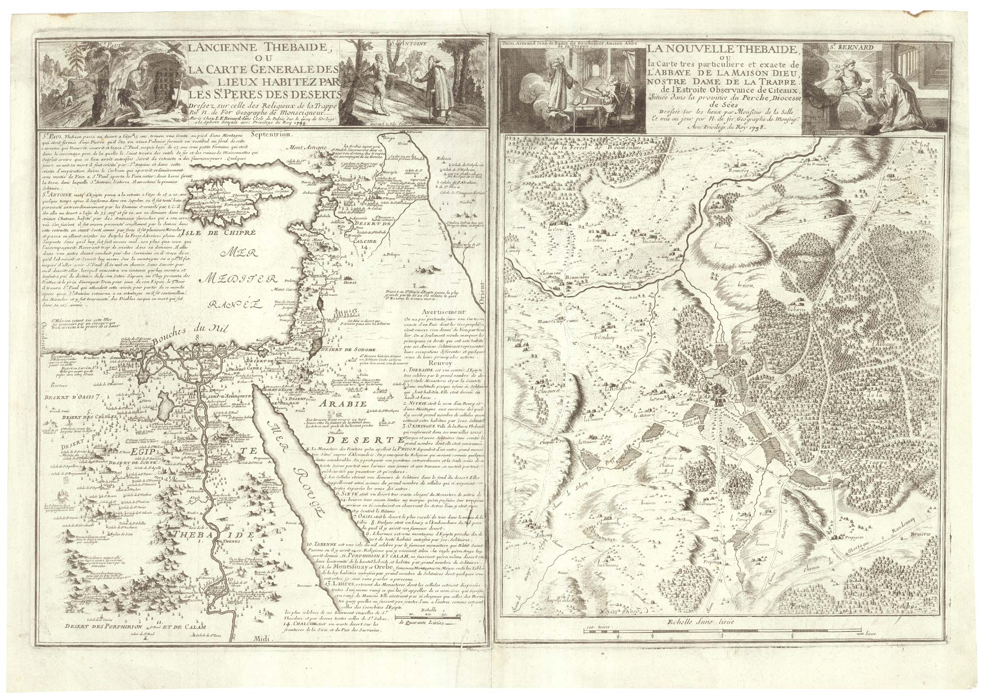
Two maps linking the monastics of Egypt and French Trappism
FER, Nicolas de. Date: 1738 Stock #: 25318 £650.00
[ti_wishlists_addtowishlist]

A decorative early 18th century chart of the Mediterranean
FER, Nicolas de. Date: 1654 Stock #: 25252 £2,750.00
[ti_wishlists_addtowishlist]

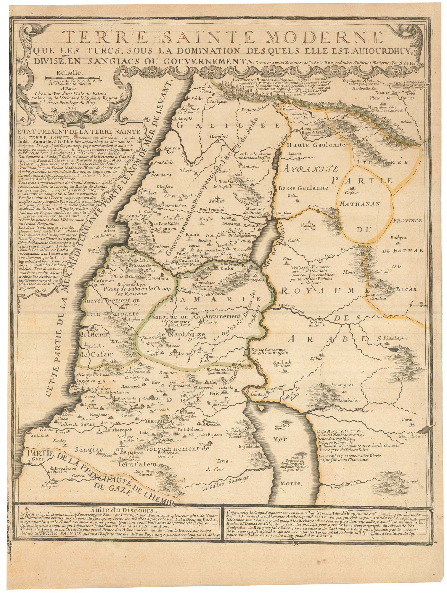
De Fer's large format of Western Asia centred on Arabia
FER, Nicolas de. Date: 1720 Stock #: 25114 £1,250.00
[ti_wishlists_addtowishlist]