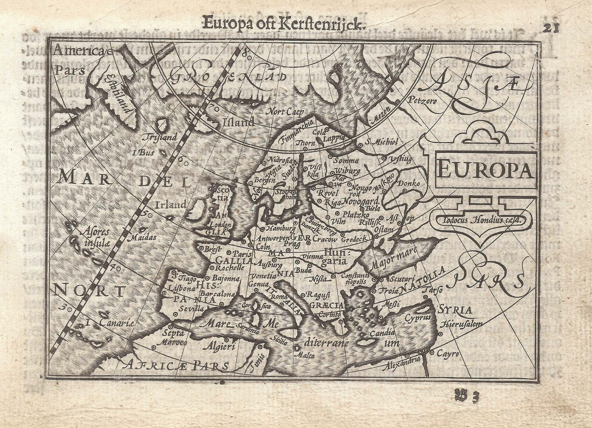


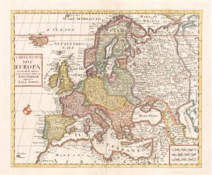
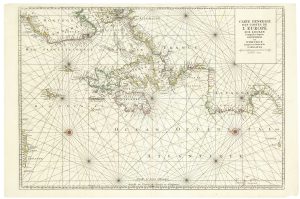
A 16th century miniature map of Europe
Europa.
Amsterdam, Cornelis Claez, 1599, Dutch text edition. 85 x 125mm, with letterpress surtitle and pagination.
£250.00
Description
A scarce map of Europe, with the mythical islands of Frisland Buss, engraved by Jodocus Hondius for the 'Caert-Thresoor', with a text by an unknown author.
By 1600 this map was being published in the 'Tabularum Geographicarum Contractarum' with a text by Petrus Bertius, and in 1616 a new plate was engraved by Jodocus Hondius II, slightly larger and with wider borders with scales of longitude and latitude.
Condition:
A good example.Related products
-
17th century map of classical Europe
SANSON, Nicolas. Date: 1650Stock #: 24737 £480.00 -
The first atlas issue of this 17th century map of Europe
HONDIUS, Henricus. Date: 1633Stock #: 20416 £1,100.00 -
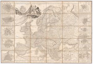
A two-sheet map of Europe
CORONELLI, Vincenzo Maria. Date: 1690Stock #: 24760 £2,600.00 -

A Napoleonic edition of Robert de Vaugondy’s wall map of Europe
ROBERT DE VAUGONDY, Didier. Date: 1805Stock #: 20667 £900.00 -
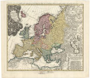
A mid-18th century map of Europe showing the spread of religions
HAAS, Johann Matthias. Date: 1662Stock #: 23322 £650.00 -
A large map of Europe at the end of the Napoleonic Wars
MAIRE, Nicolas. Date: 1817Stock #: 22250 £900.00 -
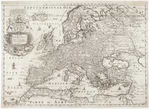
First folio altas map of Europe to be engraved & published in England
BLOME, Richard. Date: 1669Stock #: 15151 £850.00 -
18th century map of Europe
ALBRIZZI, Giovanni Battista. Date: 1740Stock #: 23165 £280.00 -
A two-sheet 17th century sea chart of Western Europe
MORTIER, Pierre. Date: 1693Stock #: 22755 £800.00
Items by the same author
[ti_wishlists_addtowishlist]

[ti_wishlists_addtowishlist]

A 16th century miniature map of Saxony, Thuringia & Meissen
LANGENES, Barent. Date: 1599 Stock #: 21173 £50.00
[ti_wishlists_addtowishlist]

[ti_wishlists_addtowishlist]

[ti_wishlists_addtowishlist]

A 16th century miniature map of the Comtat Venaissin
LANGENES, Barent. Date: 1599 Stock #: 21137 £55.00
[ti_wishlists_addtowishlist]
